Notice: Function _load_textdomain_just_in_time was called incorrectly. Translation loading for the twentyseventeen domain was triggered too early. This is usually an indicator for some code in the plugin or theme running too early. Translations should be loaded at the init action or later. Please see Debugging in WordPress for more information. (This message was added in version 6.7.0.) in /home/hydrogeologymsu/public_html/wordpress/wp-includes/functions.php on line 6121

Warning: Cannot modify header information - headers already sent by (output started at /home/hydrogeologymsu/public_html/wordpress/wp-includes/functions.php:6121) in /home/hydrogeologymsu/public_html/wordpress/wp-includes/feed-rss2.php on line 8
hyndman – MSU Hydrogeology Lab https://hydrogeology.msu.edu Department of Earth and Environmental Sciences Thu, 19 Oct 2017 16:21:15 +0000 en-US hourly 1 https://wordpress.org/?v=6.8 https://hydrogeology.msu.edu/wordpress/wp-content/uploads/2022/07/Lab-Logo_sun_circle.ico hyndman – MSU Hydrogeology Lab https://hydrogeology.msu.edu 32 32 Coastal Sabkha near Abu Dhabi, United Arab Emirates https://hydrogeology.msu.edu/research/field-sites-old/uae Wed, 29 Oct 2008 15:54:13 +0000 http://hydrogeology.glg.msu.edu/?p=357

]]>
MADE (Macrodispersion Experiment) Site, Columbus Mississippi https://hydrogeology.msu.edu/research/field-sites-old/made Wed, 29 Oct 2008 15:52:13 +0000 http://hydrogeology.glg.msu.edu/?p=353 Continue reading "MADE (Macrodispersion Experiment) Site, Columbus Mississippi"

]]>
Geophysics researchers at MSU travel to the MADE Site in order to study its extremely complex subsurface flow patterns, employing a comprehensive selection of the most cutting-edge technology available. Using characterization techniques such as full resolution ground-penetrating radar and direct push hydraulic conductivity measurements, students are investigating the relationship between subsurface heterogeneity and contaminant transport paths. This work is being conducted along with the Kansas Geological Survey.

We would like to thank the National Science Foundation for funding this research.
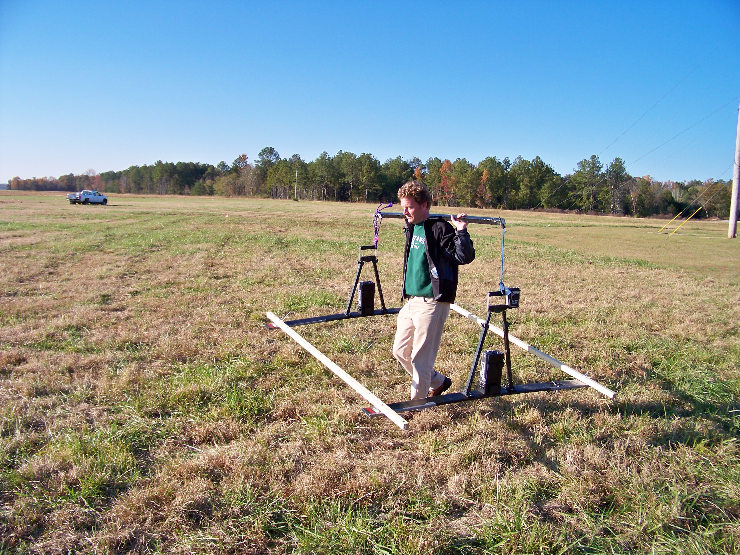
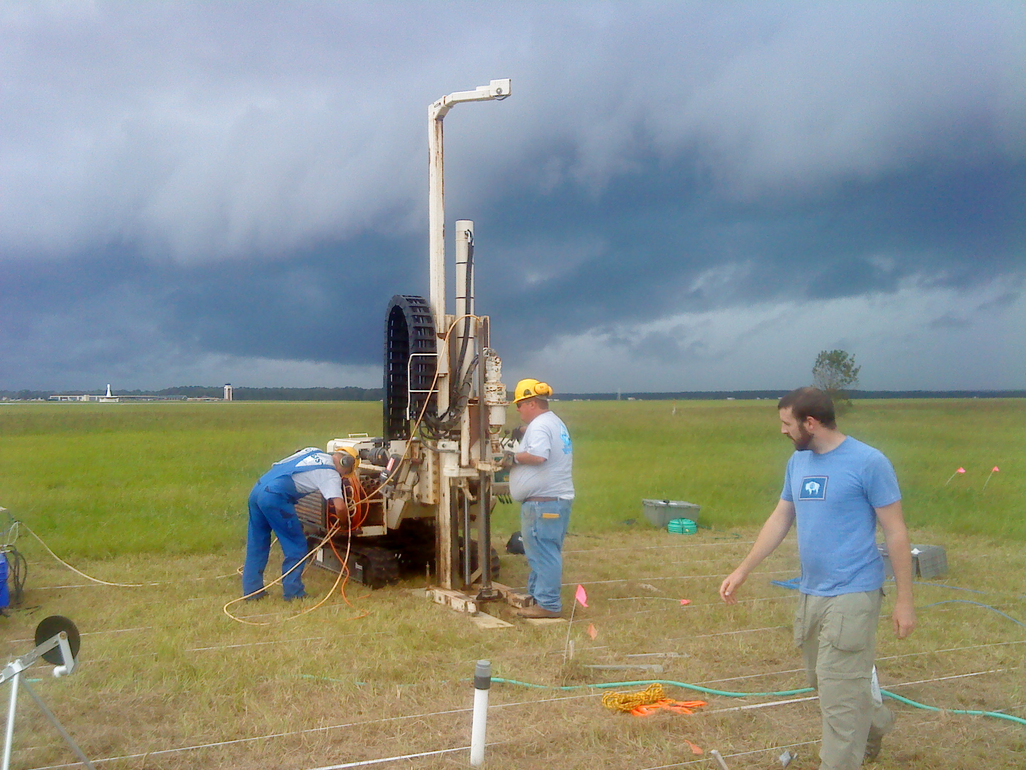
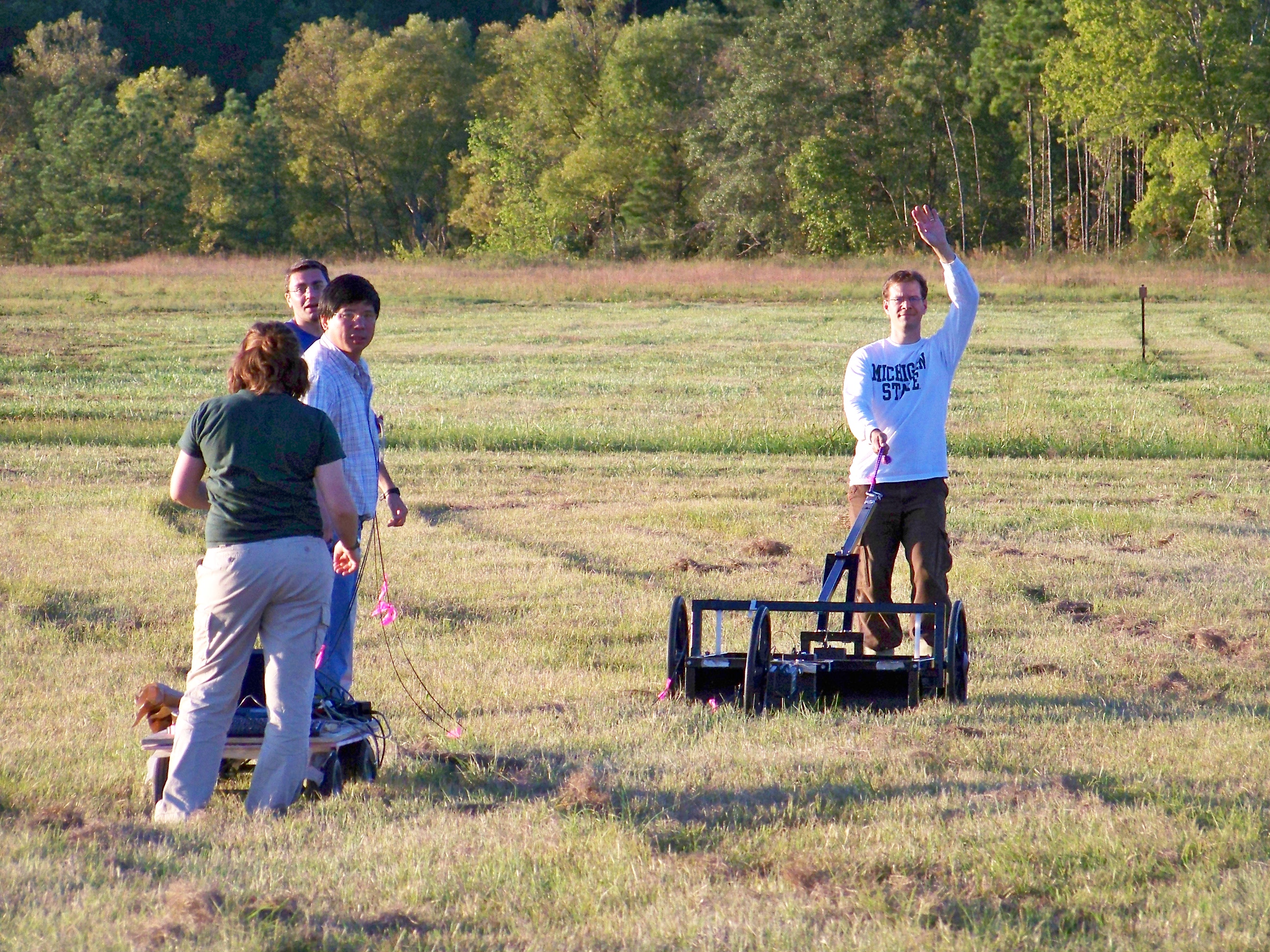
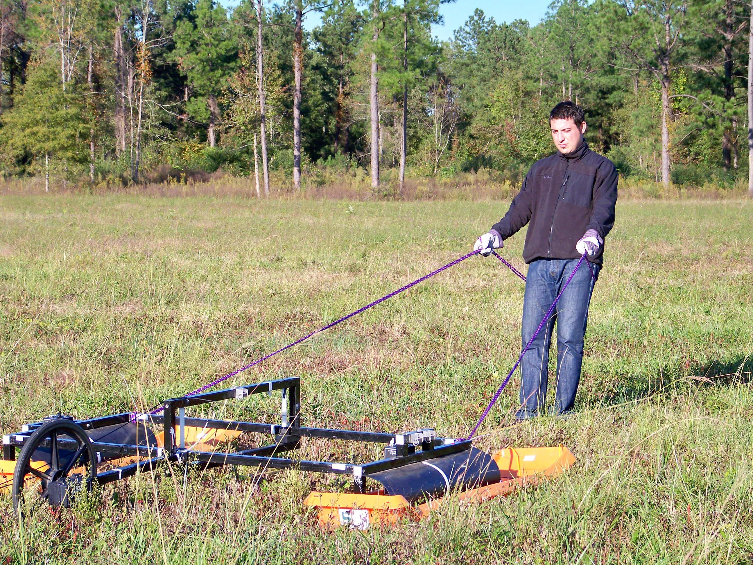
]]>
Dr. Jayawickreme defended his dissertation “Exploring the Influence of Land Use and Climate on Regional Hydrology and Groundwater Recharge” https://hydrogeology.msu.edu/news/dr-jayawickreme-defended-his-dissertation-exploring-the-influence-of-land-use-and-climate-on-regional-hydrology-and-groundwater-recharge Thu, 11 Sep 2008 14:21:16 +0000 http://hydrogeology.glg.msu.edu/?p=332 Congratulations to Dr. Jayawickreme who defended his dissertation Exploring the Influence of Land Use and Climate on Regional Hydrology and Groundwater Recharge

]]>
Welcome new graduate students https://hydrogeology.msu.edu/news/welcome-new-graduate-students Fri, 01 Aug 2008 14:35:59 +0000 http://hydrogeology.glg.msu.edu/?p=336 Two new PhD students, Mine Dogan and Abby Norton, join the Hydrogeology and Applied Geophysics Groups

]]>
Land Use Legacy Research Featured by American Museam https://hydrogeology.msu.edu/news/land-use-legacy-research-featured-by-american-museam Fri, 15 Feb 2008 14:00:28 +0000 http://hydrogeology.glg.msu.edu/?p=325 Recent collaborative research between Purdue and MSU, published in Ecology and Society, featured by the American Museum of Natural History, New York City  (see animation here – 40MB!)

]]>
Characterizing Soil Moisture Variations in the Unsaturated Zone https://hydrogeology.msu.edu/research/completed/characterizing-soil-moisture-variations-in-the-unsaturated-zone Thu, 20 Dec 2007 18:24:48 +0000 http://hydrogeology.glg.msu.edu/research/active/characterizing-soil-moisture-variations-in-the-unsaturated-zone Continue reading "Characterizing Soil Moisture Variations in the Unsaturated Zone"

]]>
Vadose zone soil moisture variationWe are using electrical resistivity tomography to image the dynamic nature of soil moisture, and coupling this with high resolution models to better understand transpiration dynamics and unsaturated flow. We are using time-lapse hydrogeophysical tools to characterize soil moisture variability beneath a range of vegetation types. Those tools include 2D and 3D electrical resistivity tomography (ERT), and ground-penetrating radar (GPR).

We will then combine our measurements with detailed site characterization, point measurements of soil temperature and moisture, and numerical models of hydrological and plant processes to quantify root-zone moisture dynamics with an unprecedented level of detail.

Related Publications:

Related Conference Abstracts:

]]>