NASA Wetland Gauges

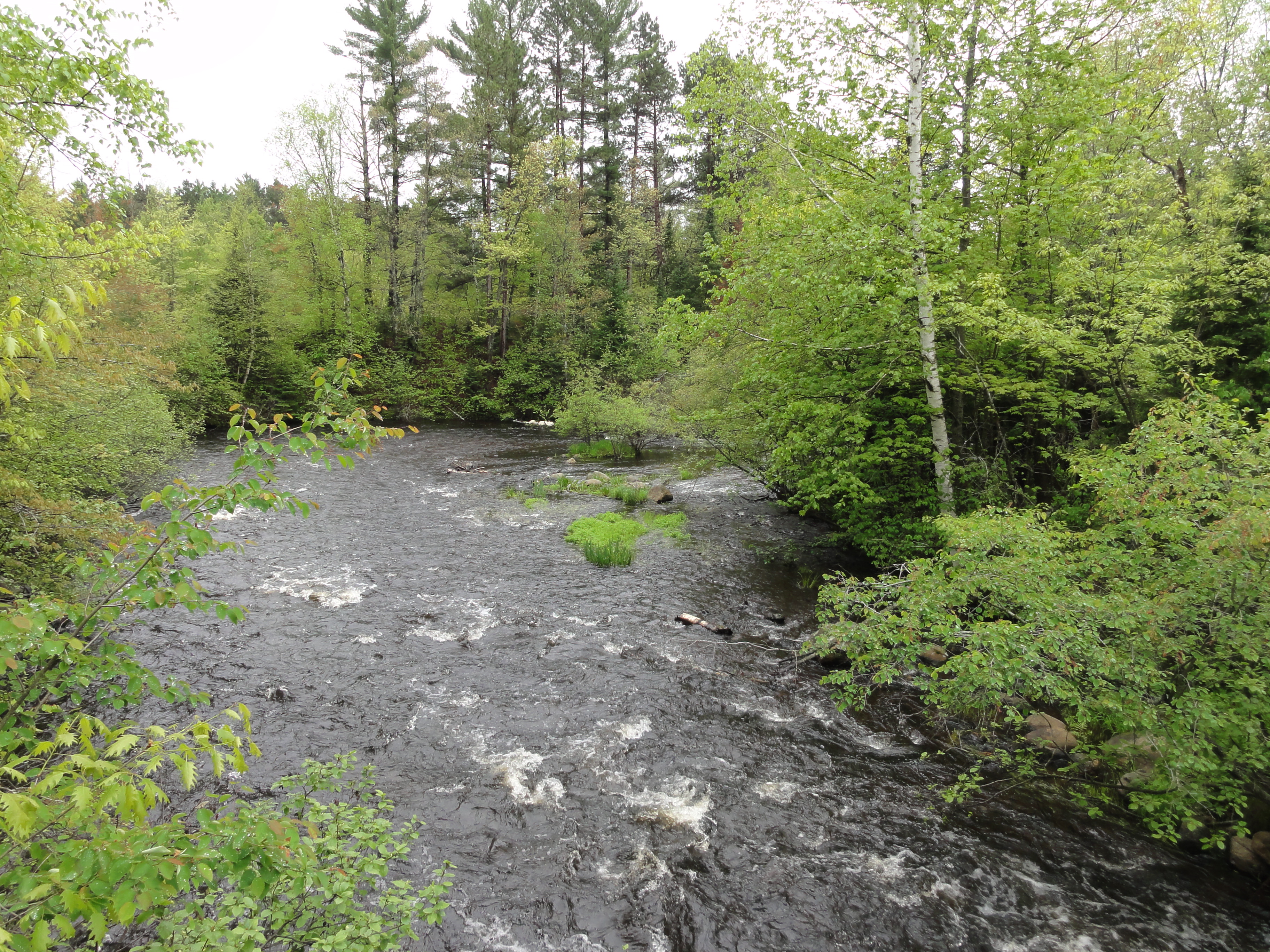
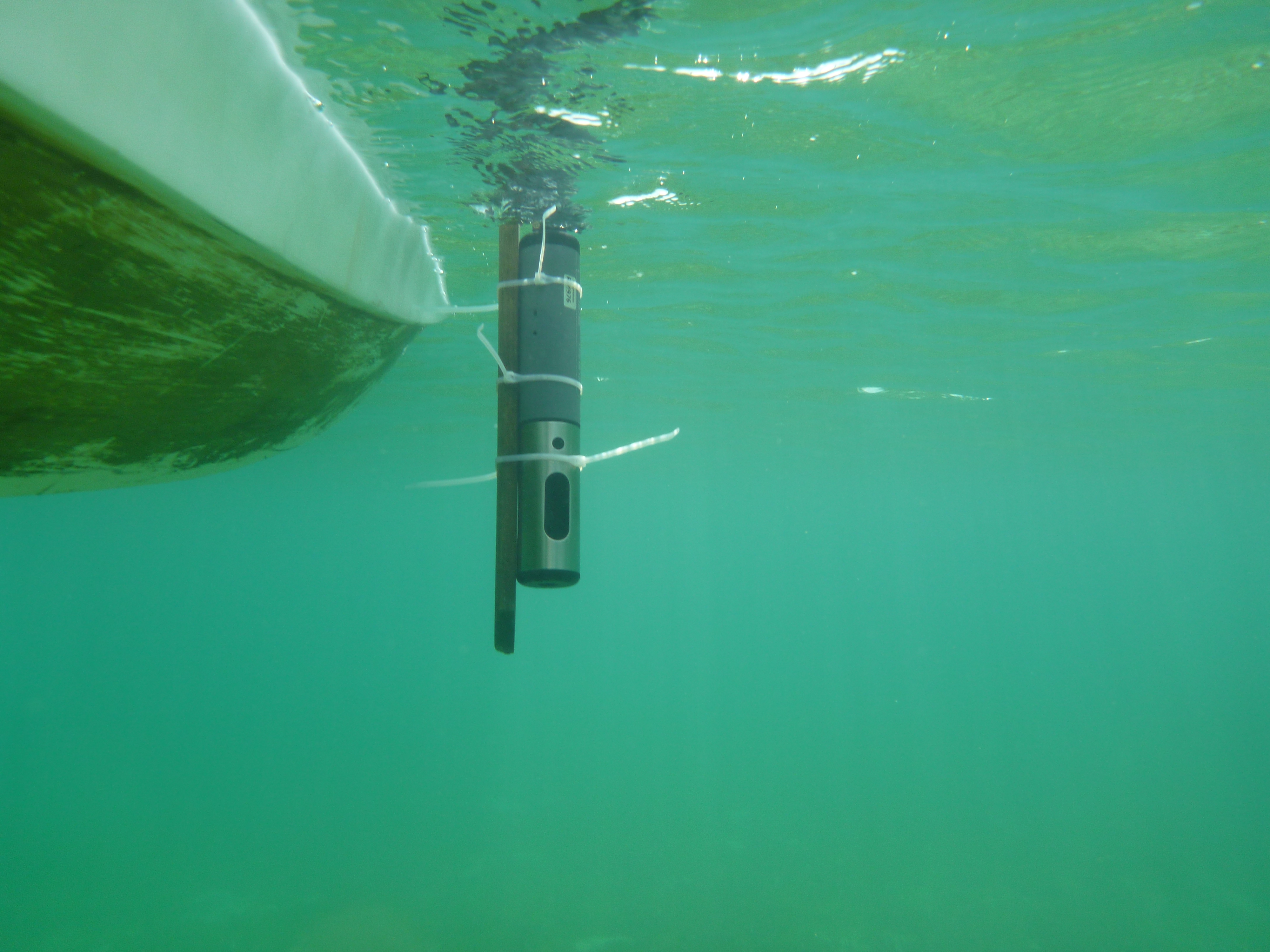
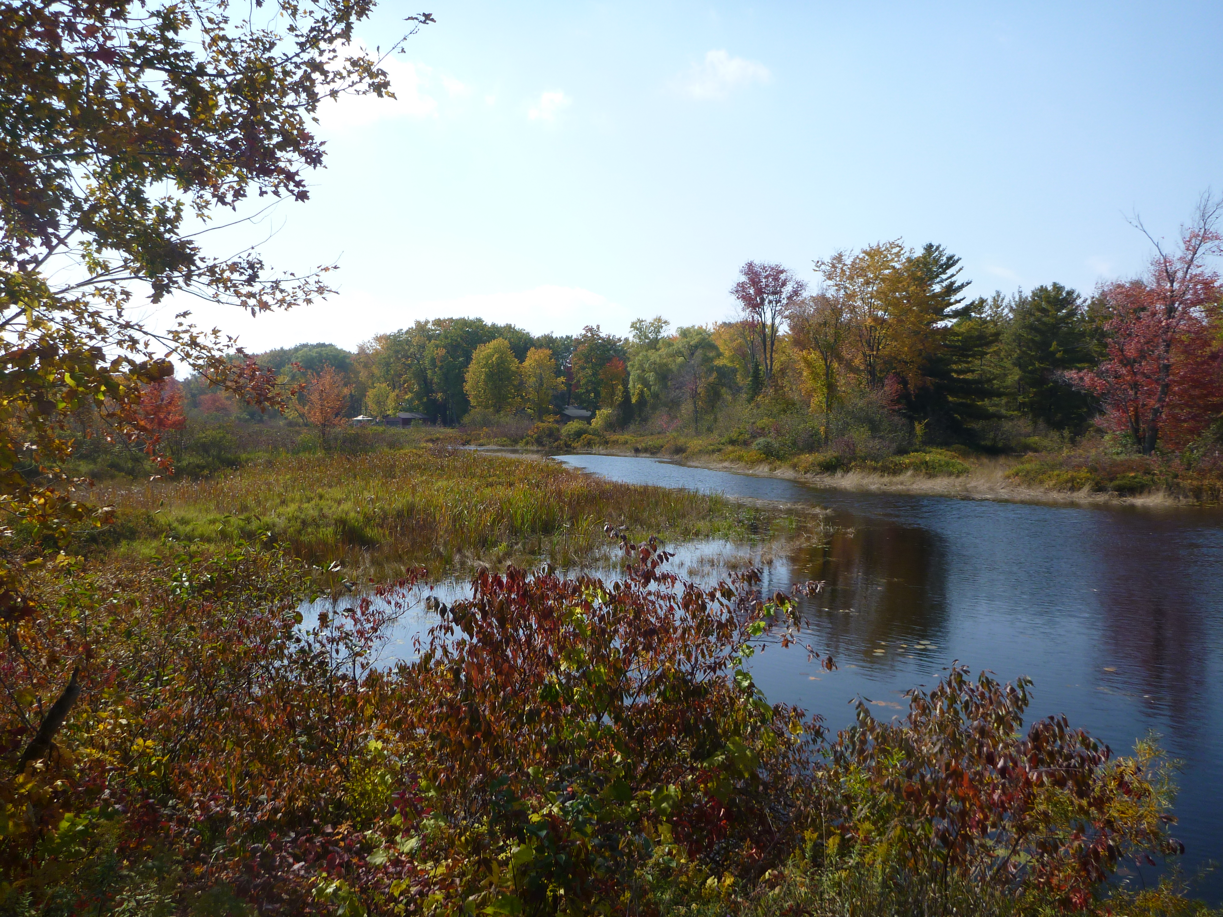
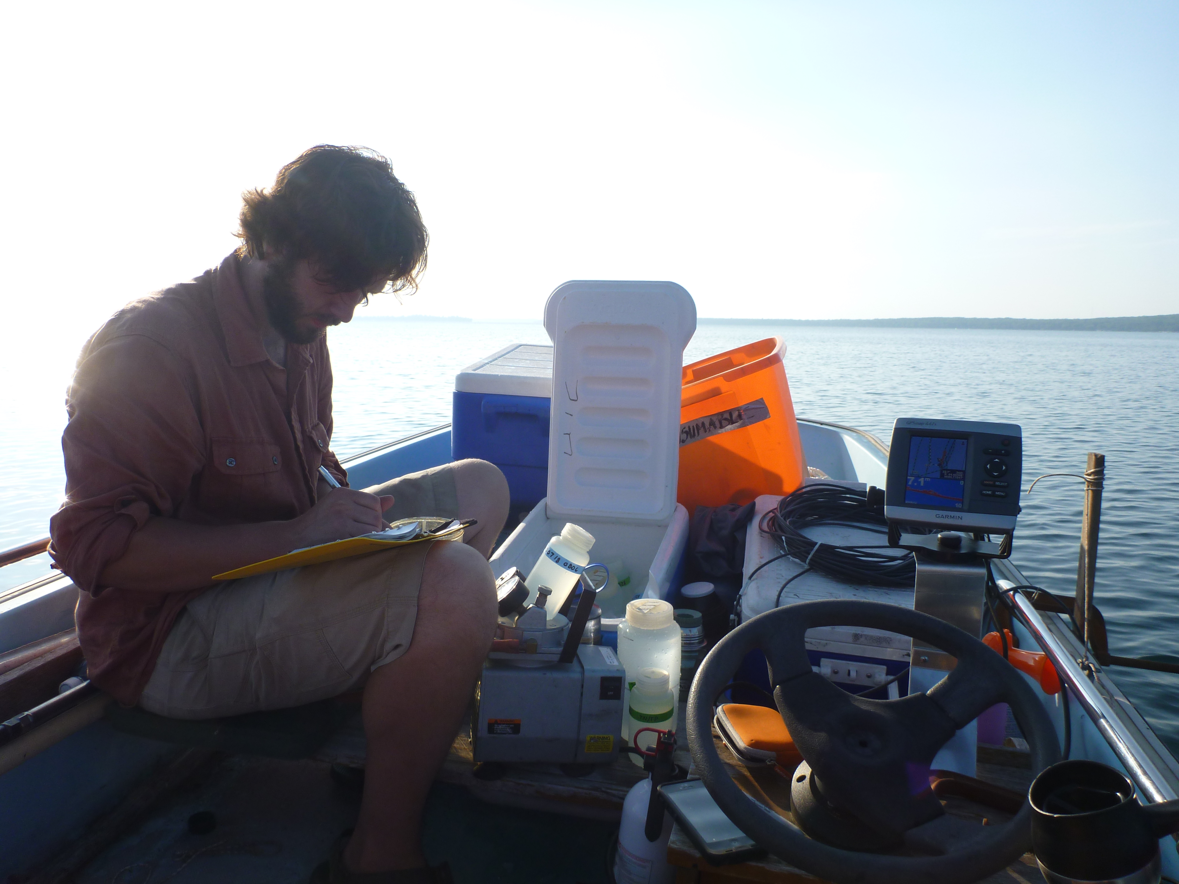
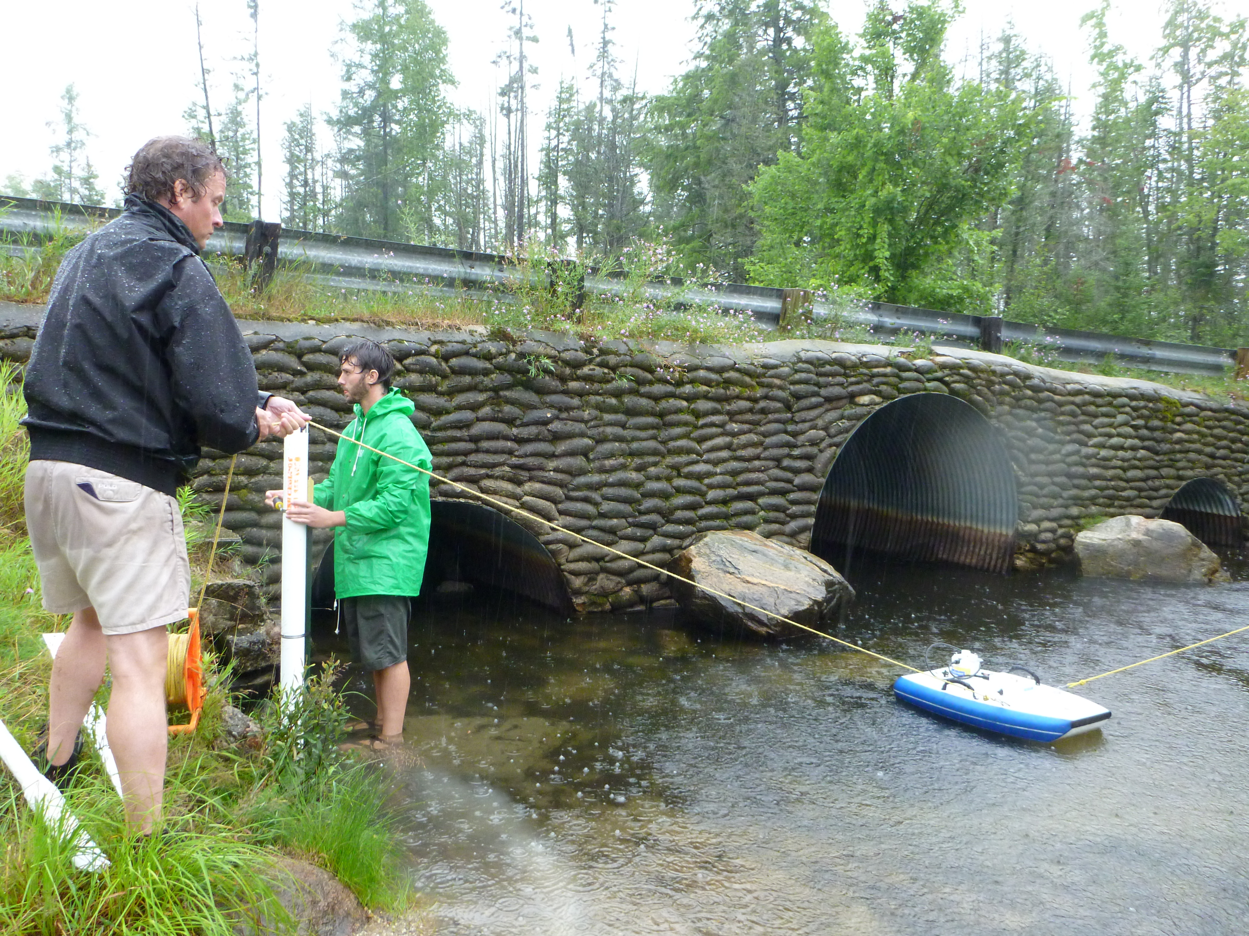
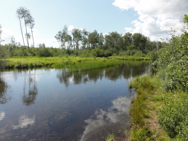
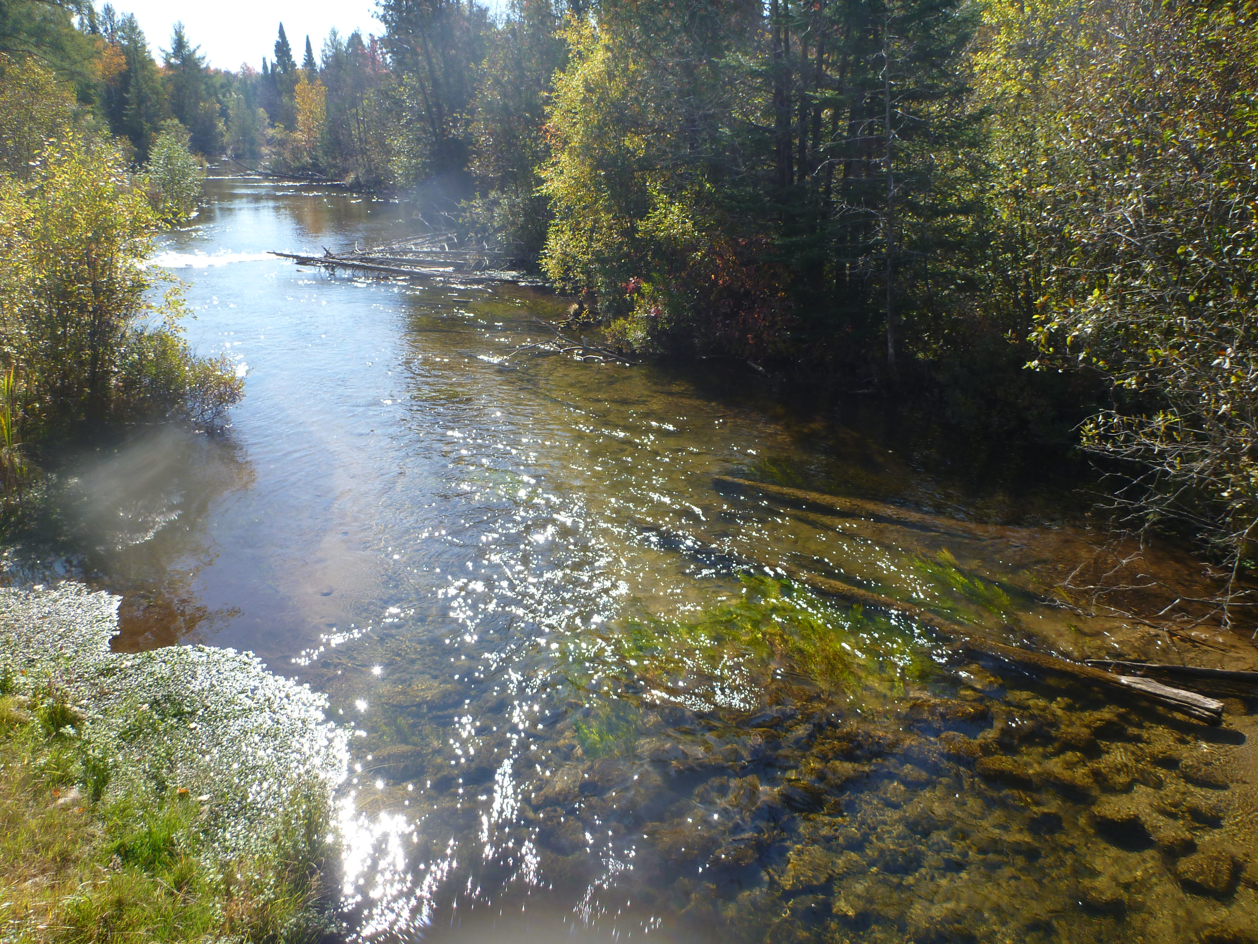
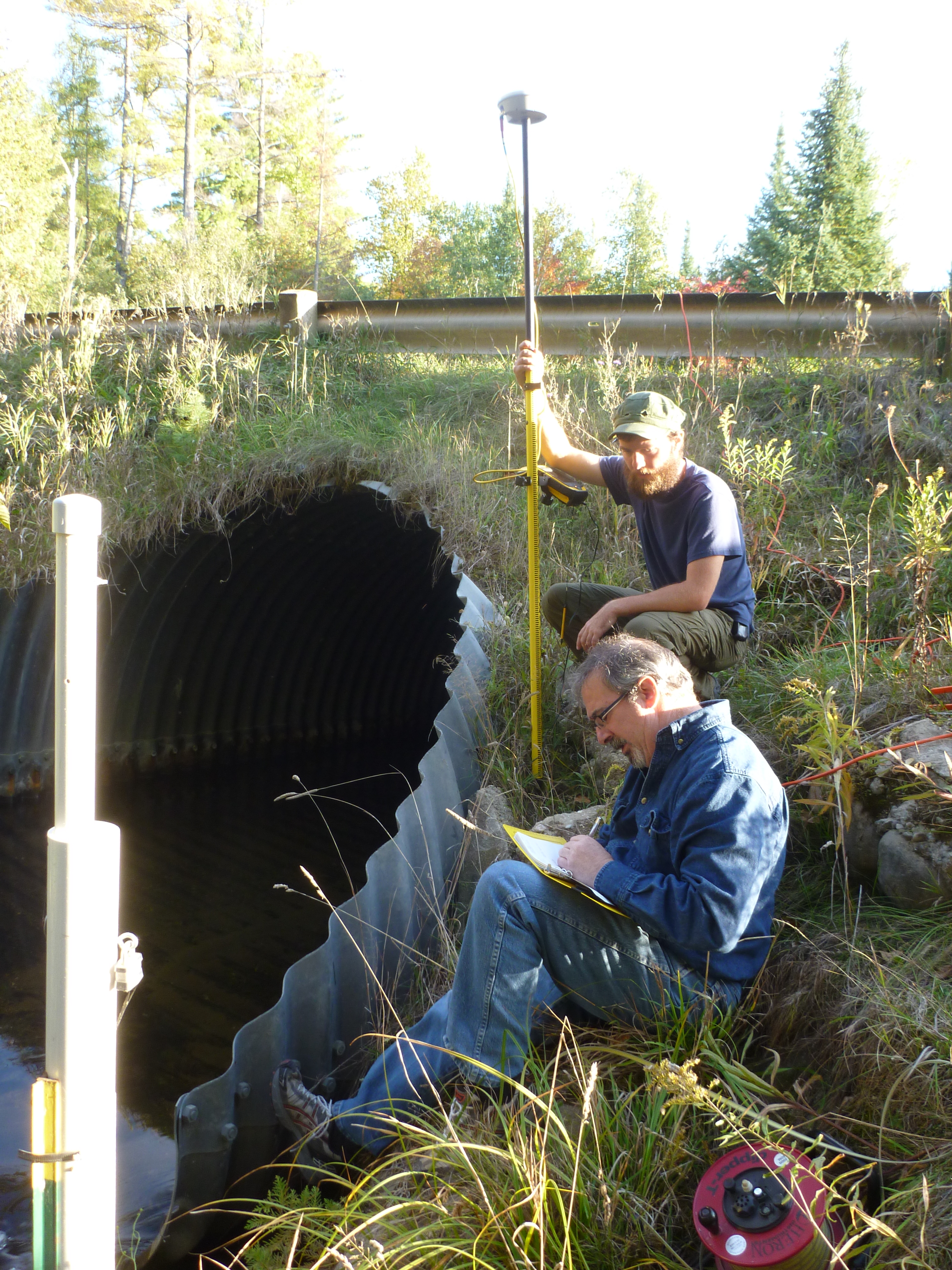
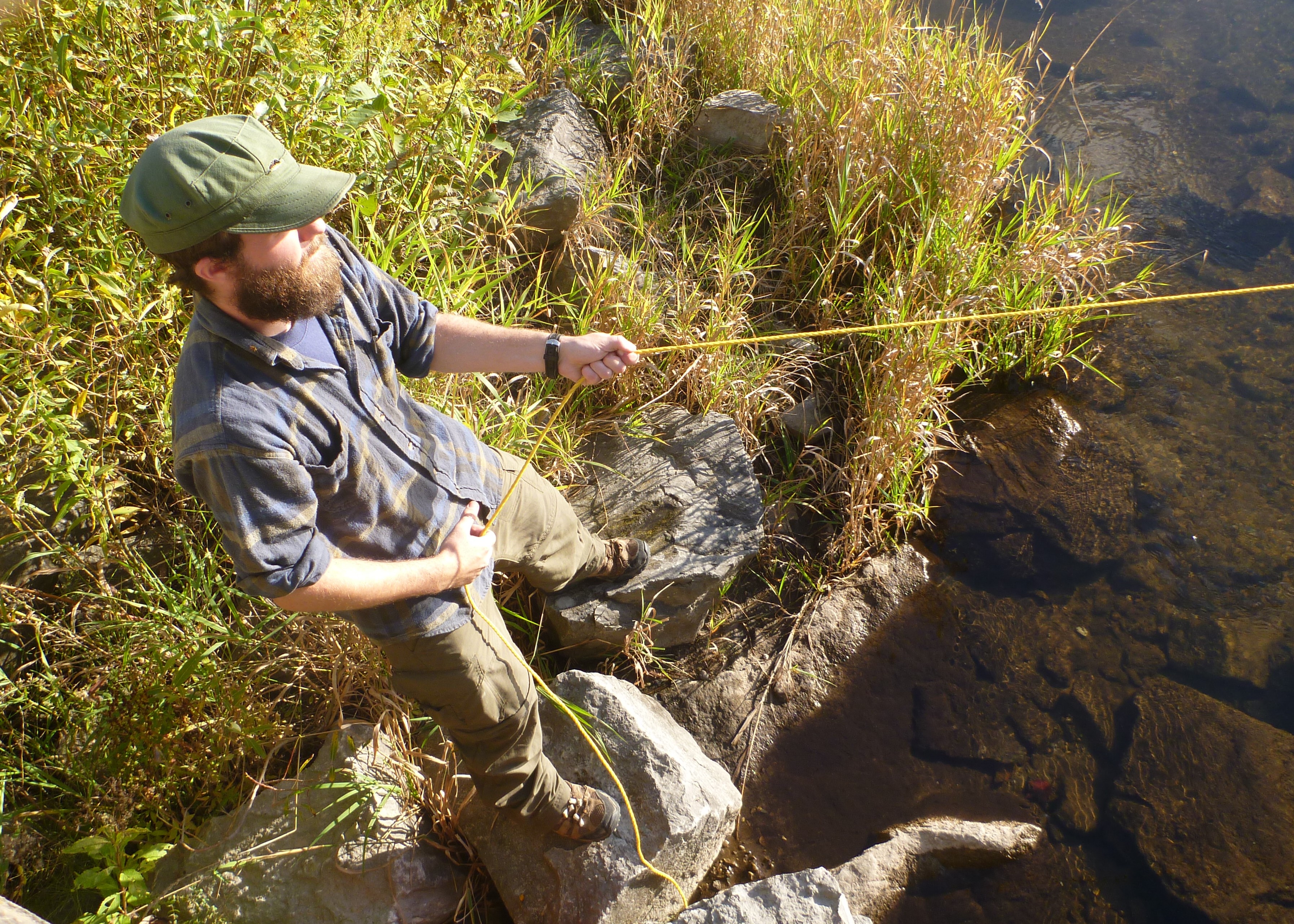
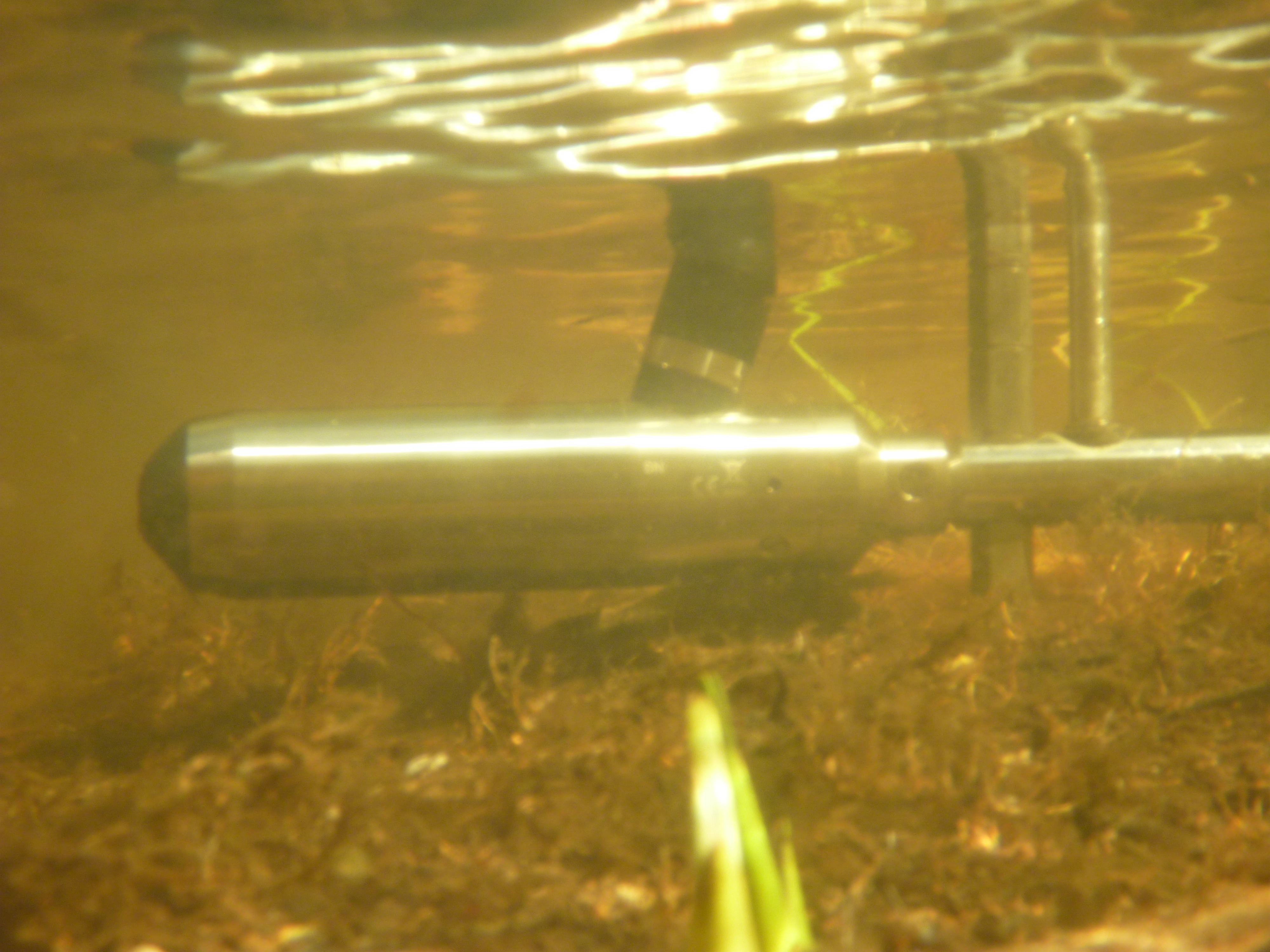
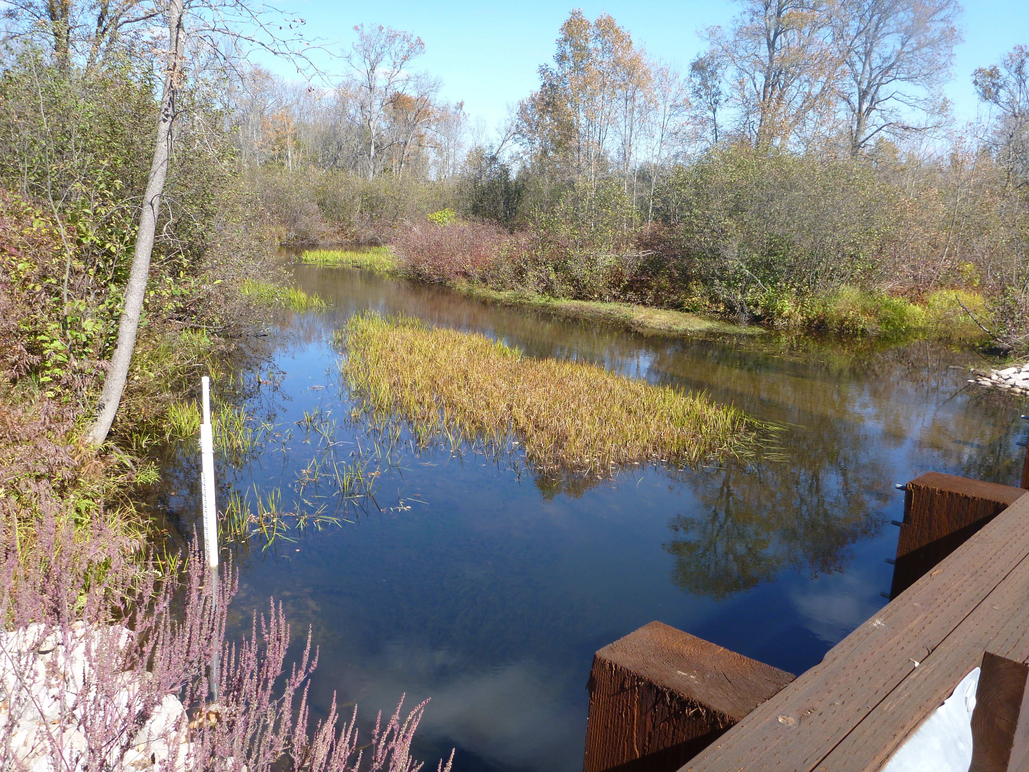
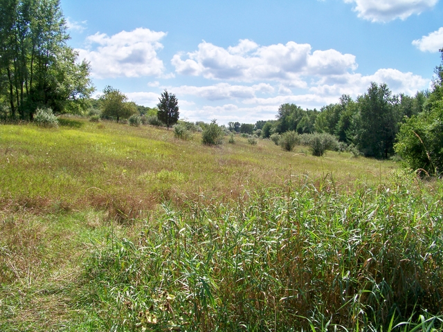
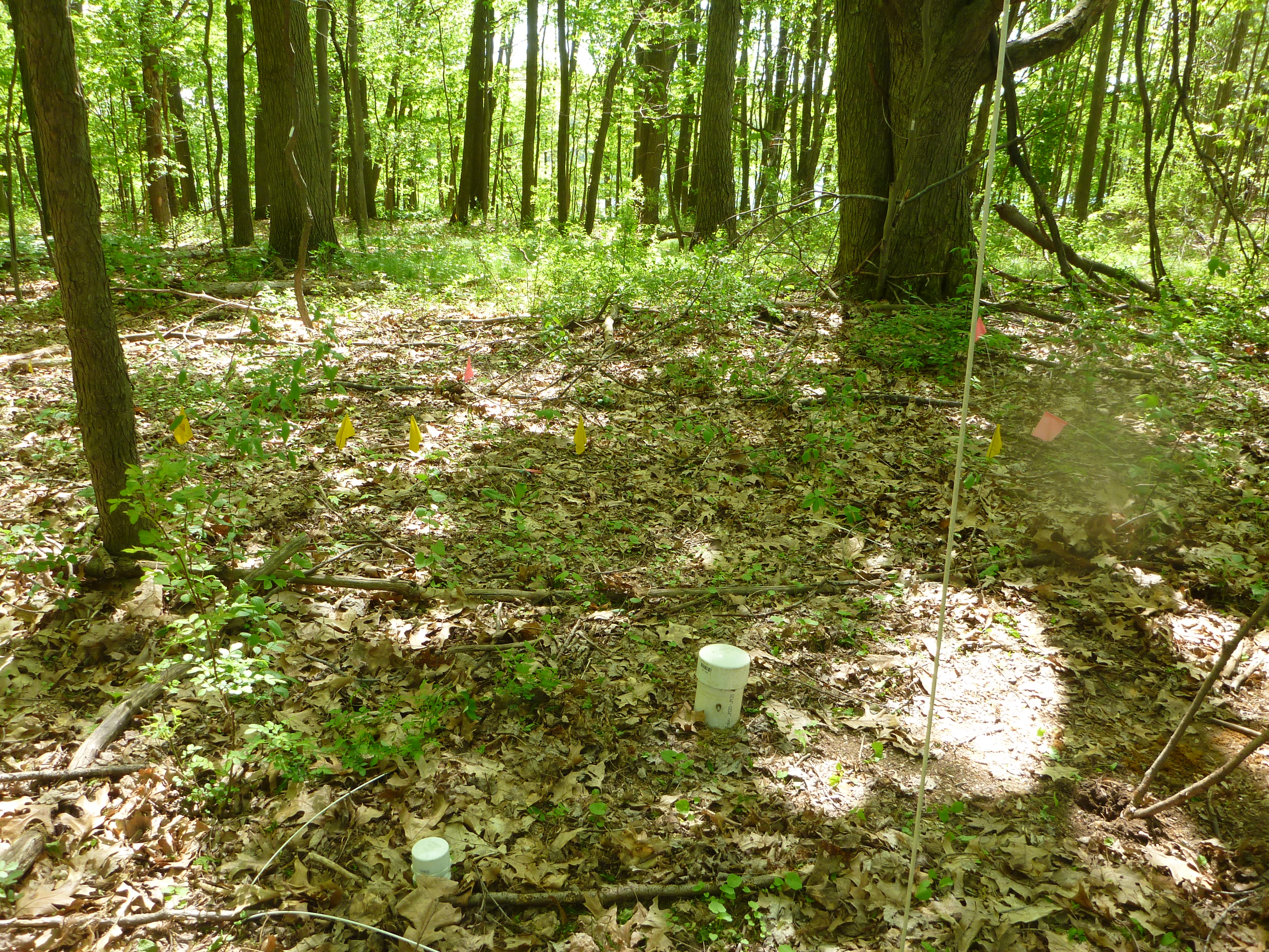
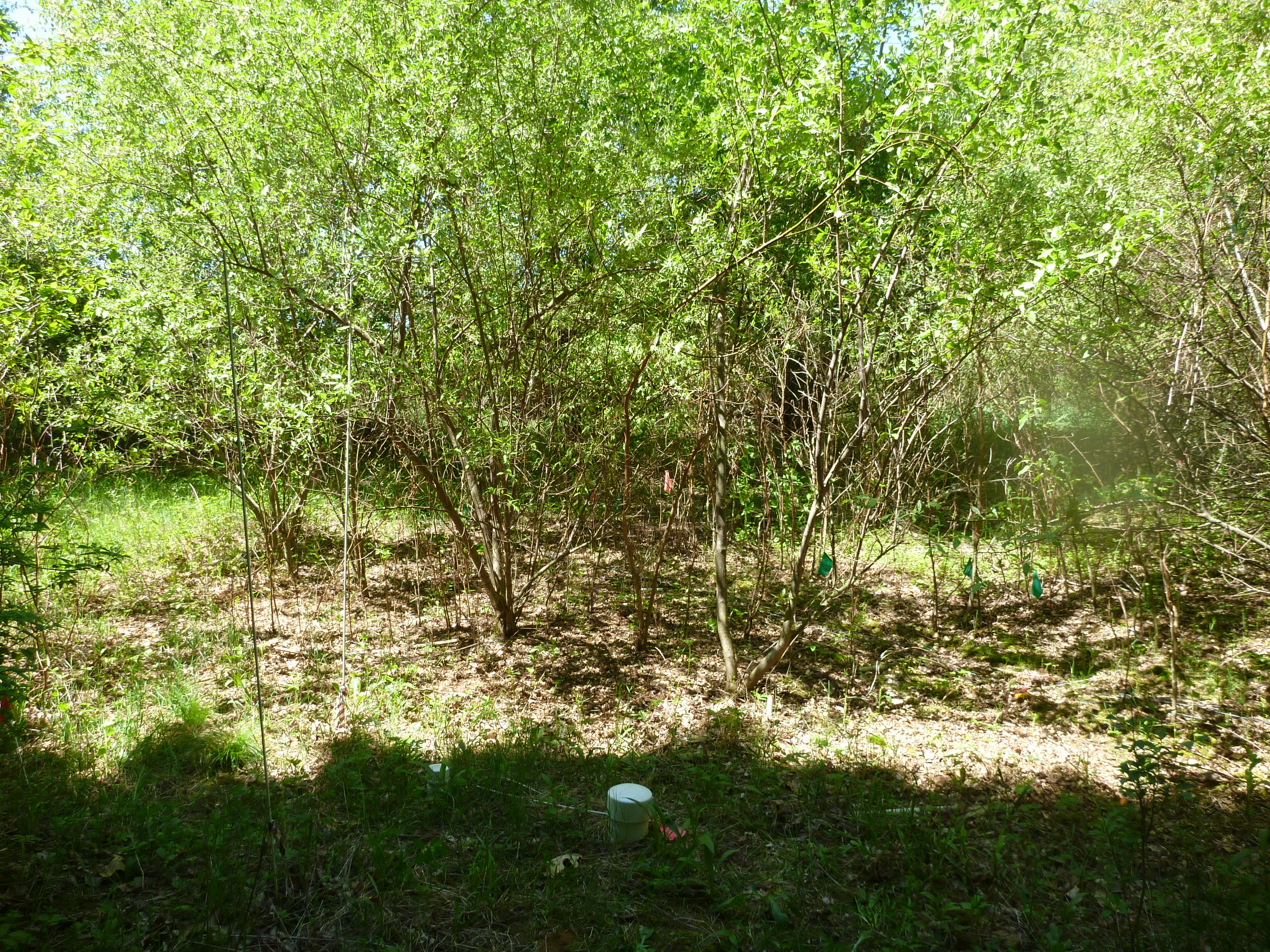
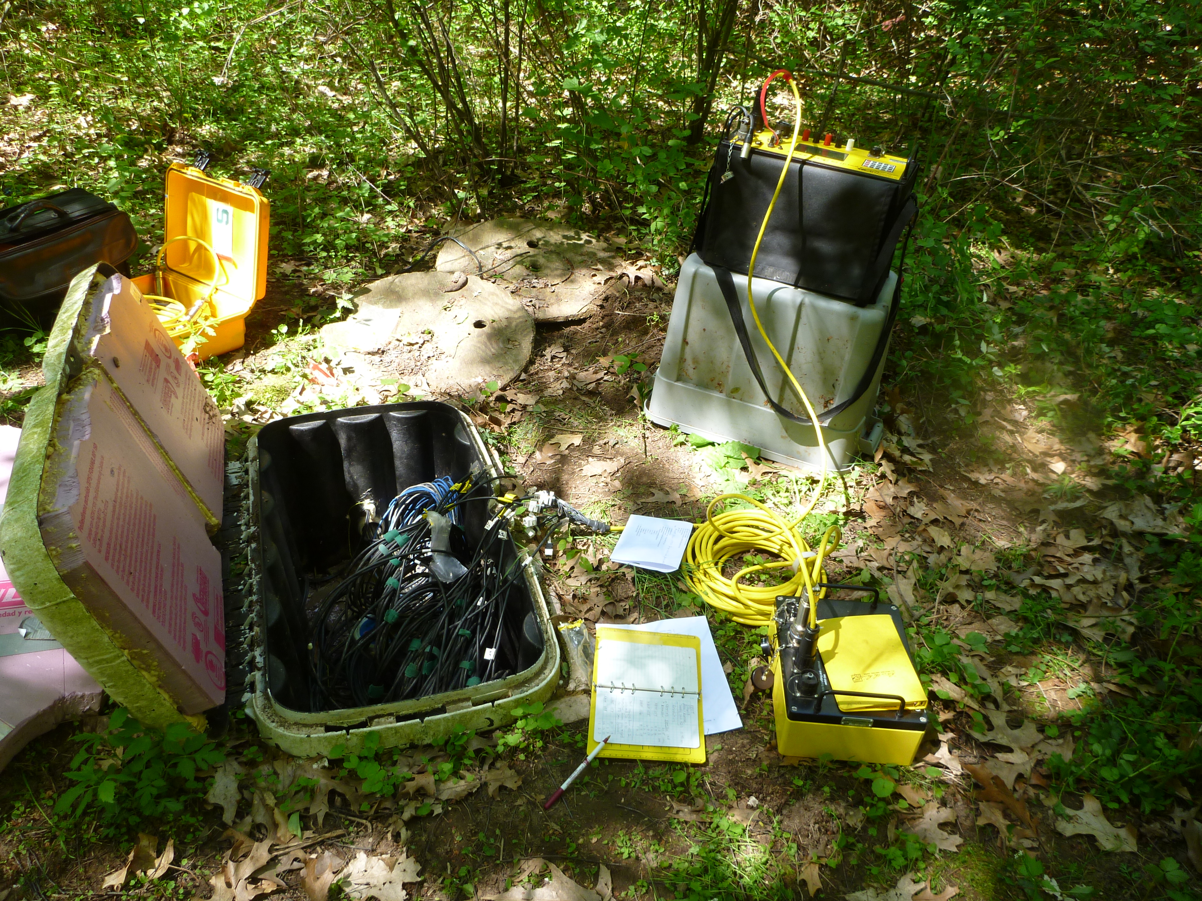
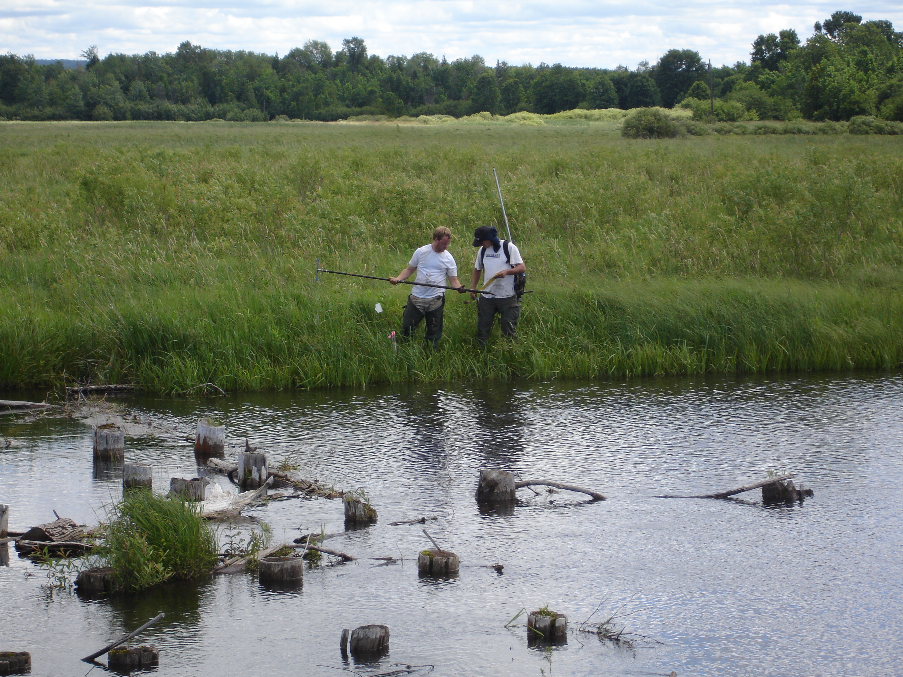
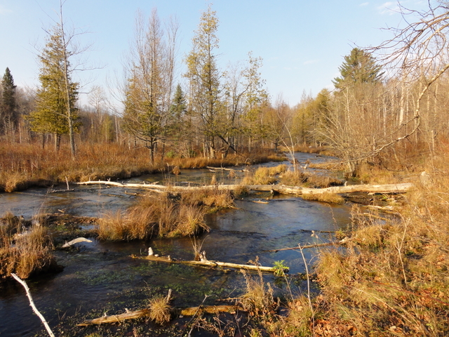
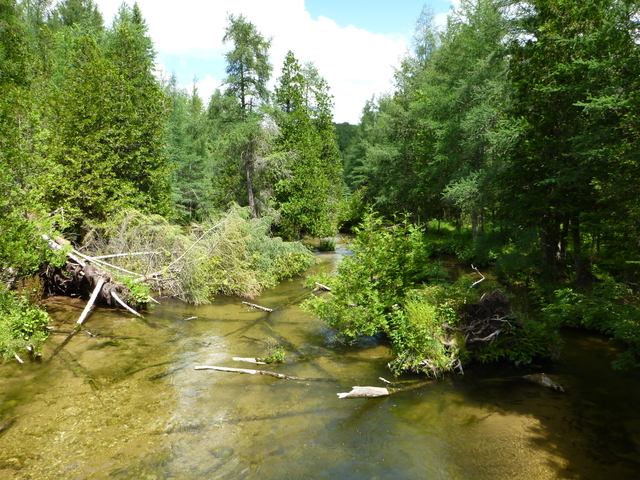
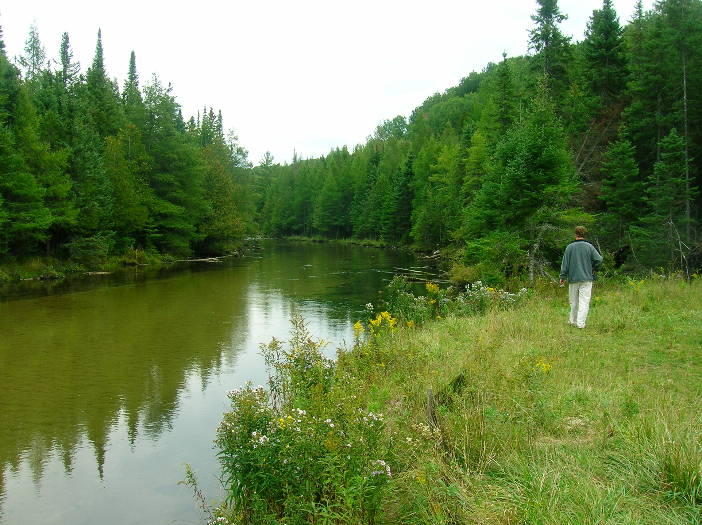
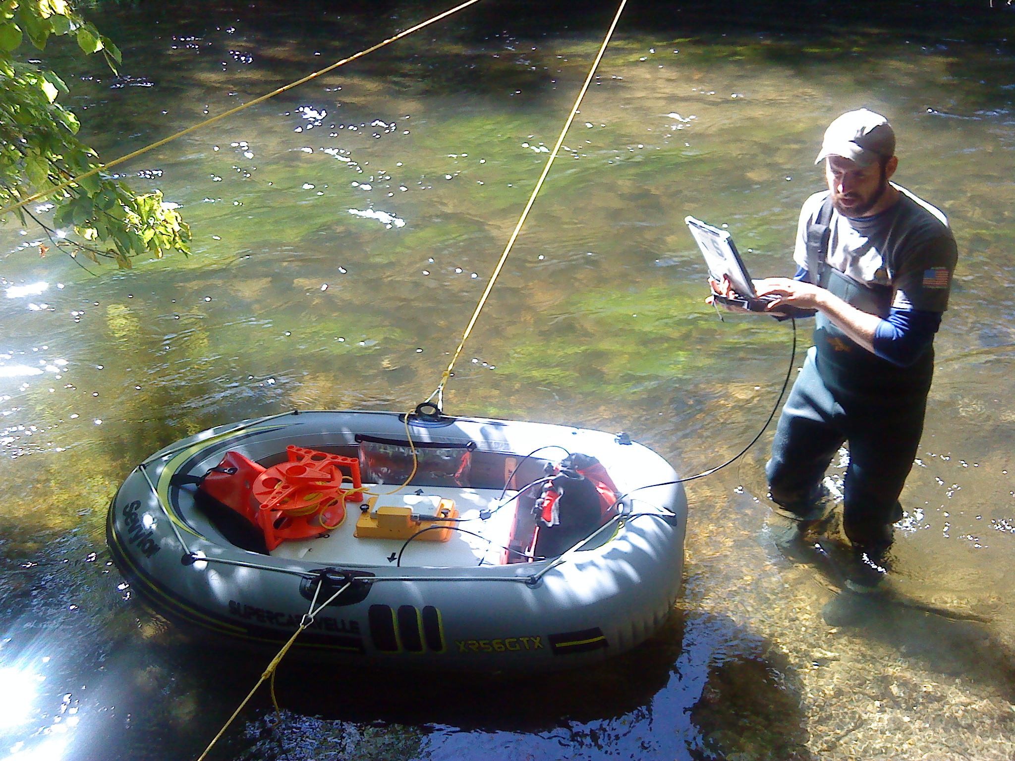
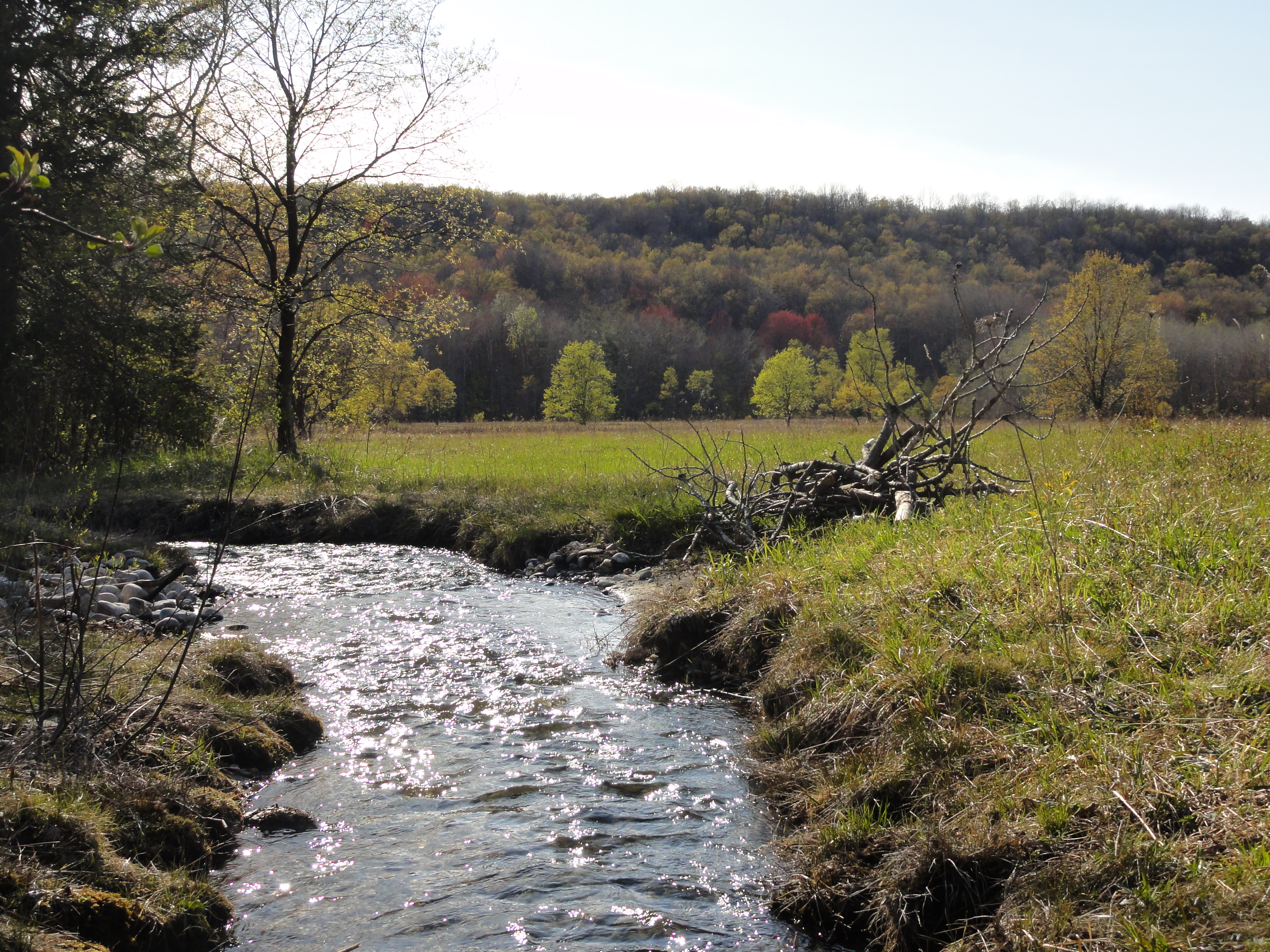
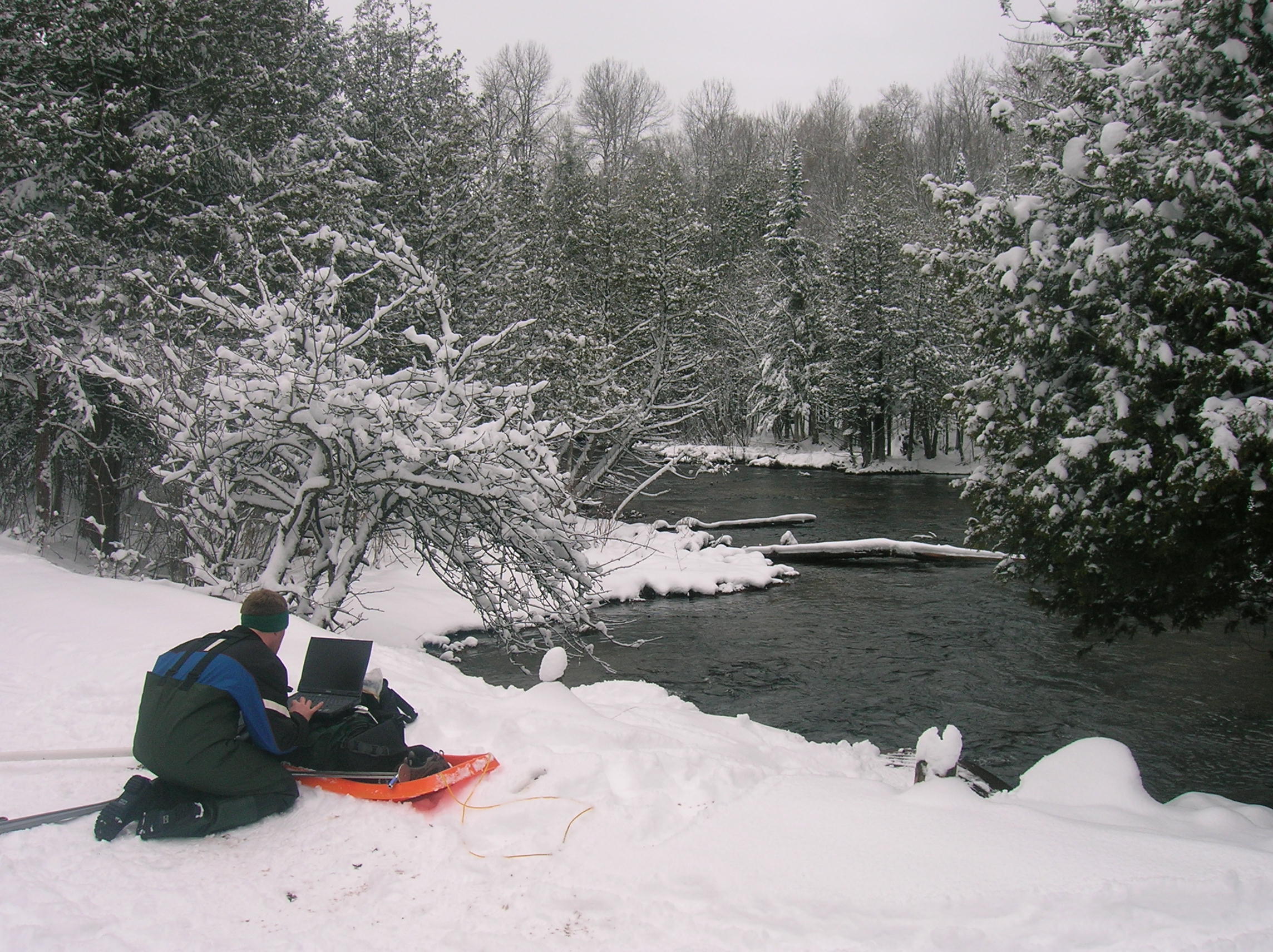
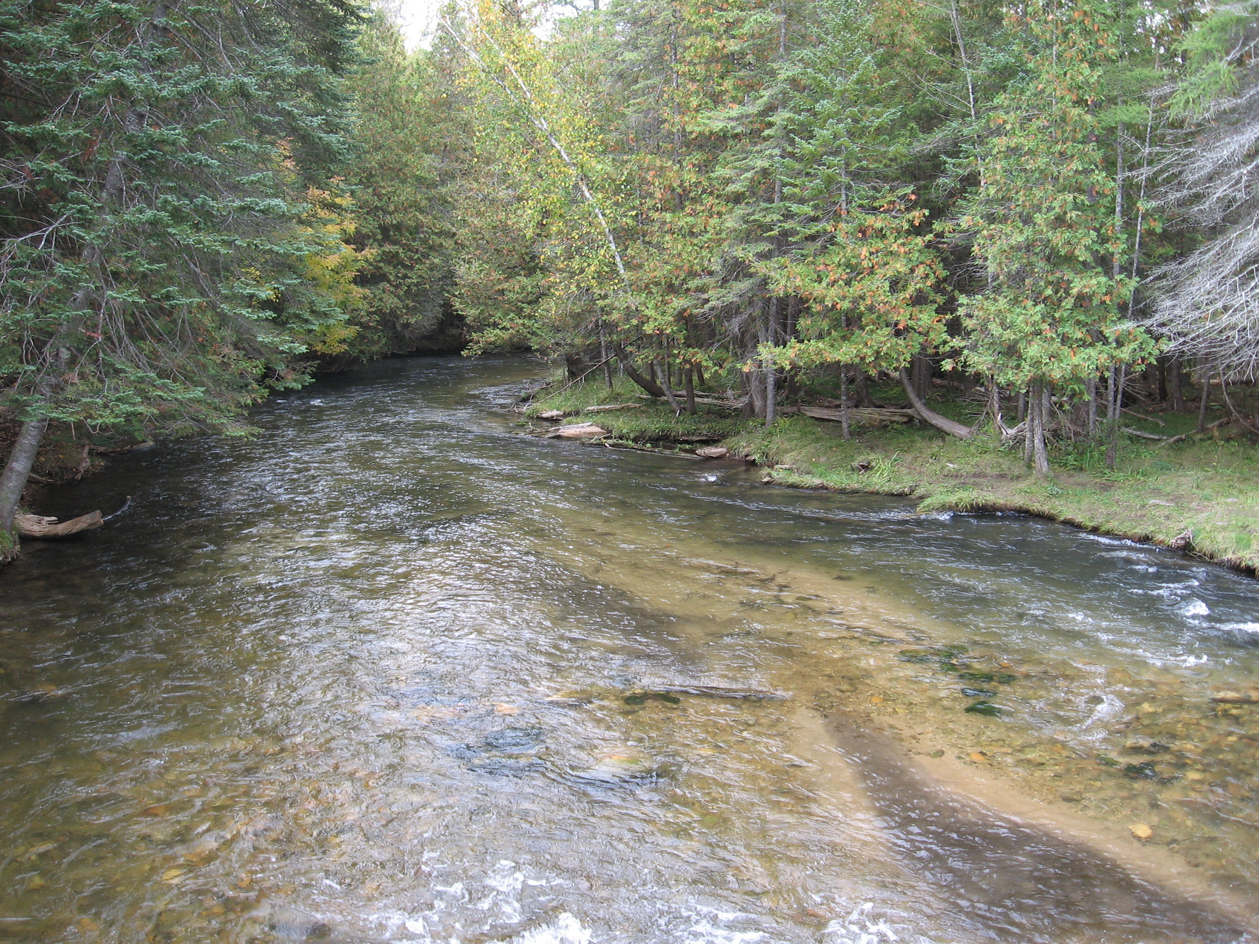
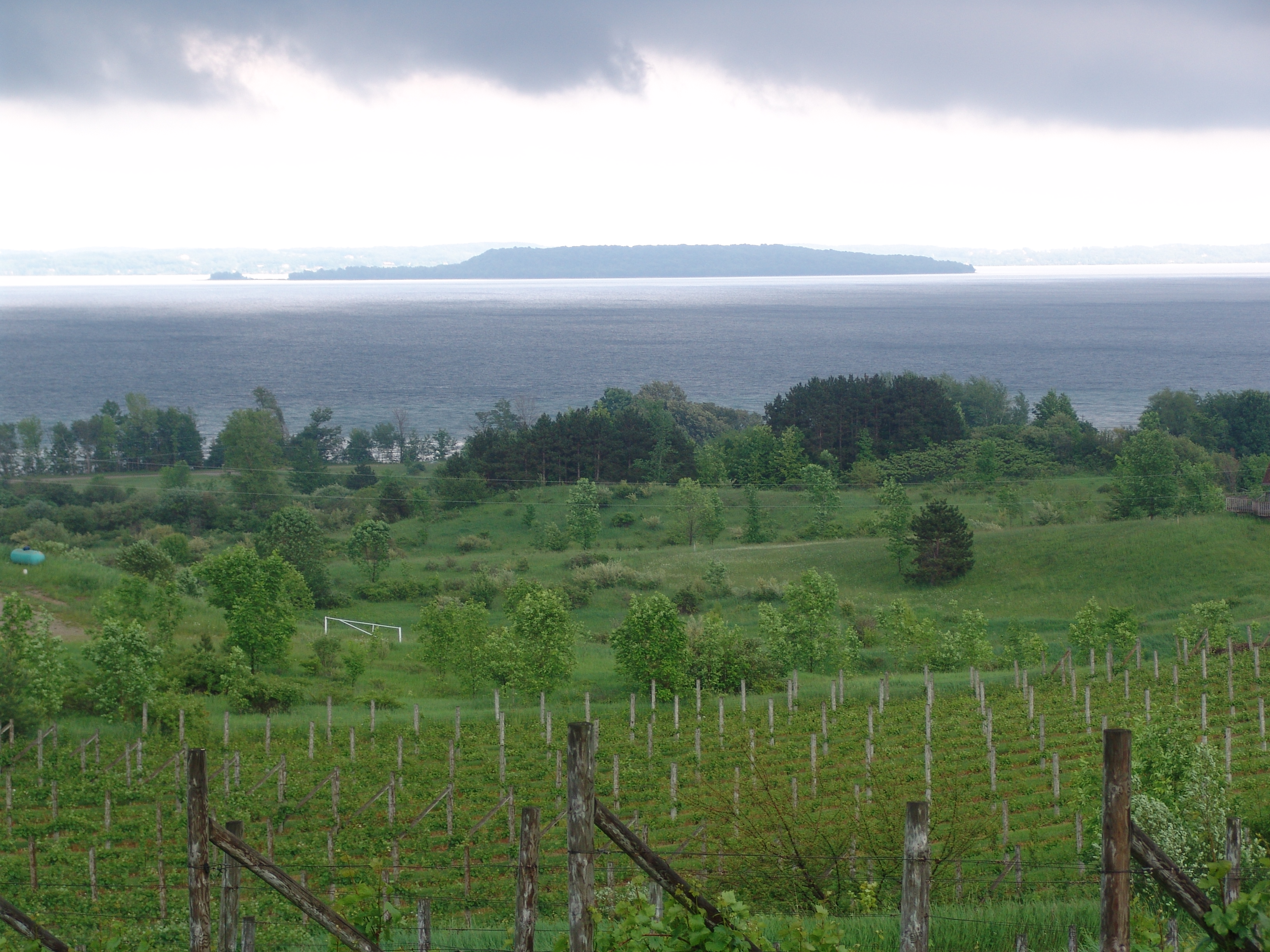
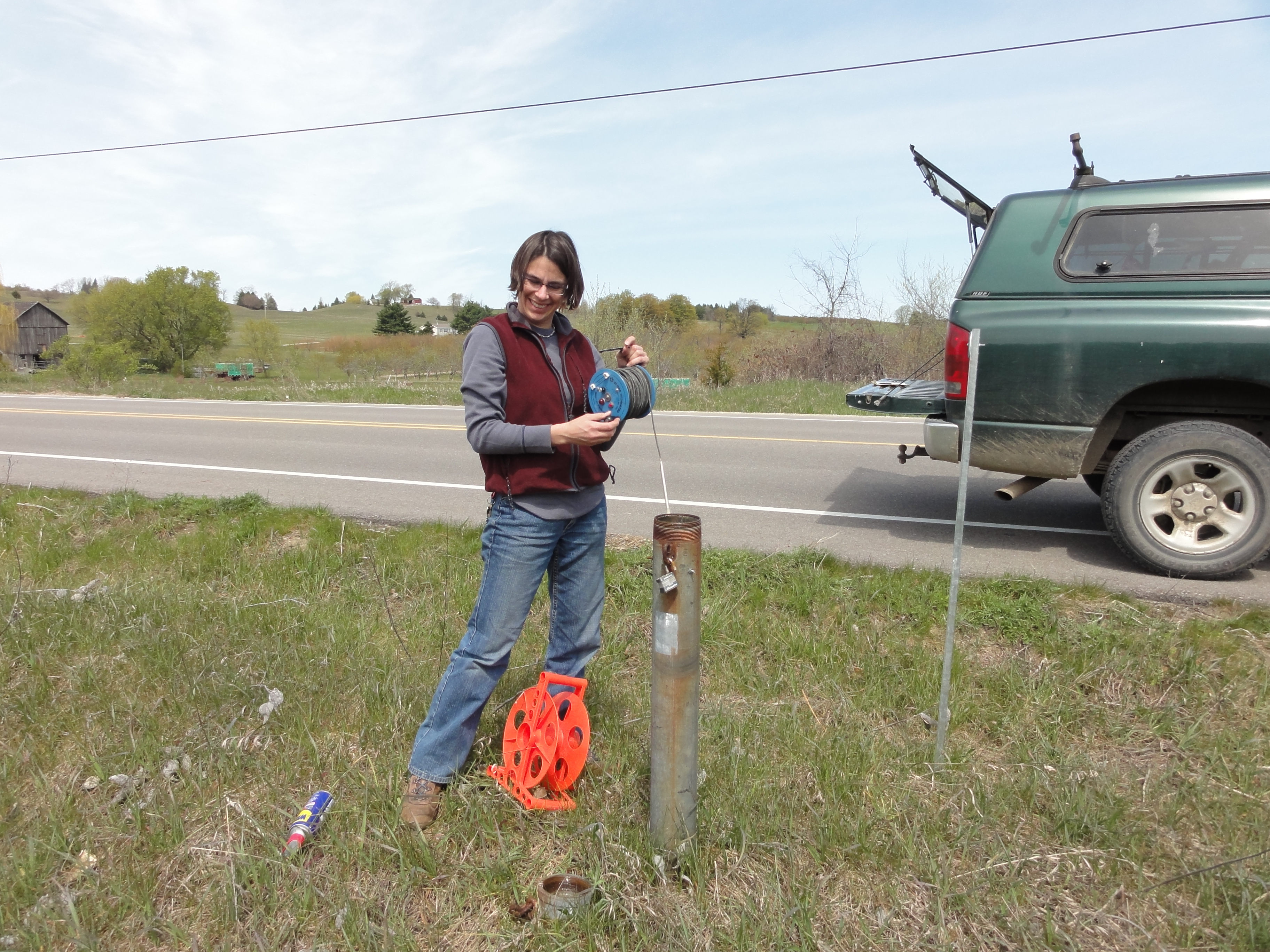
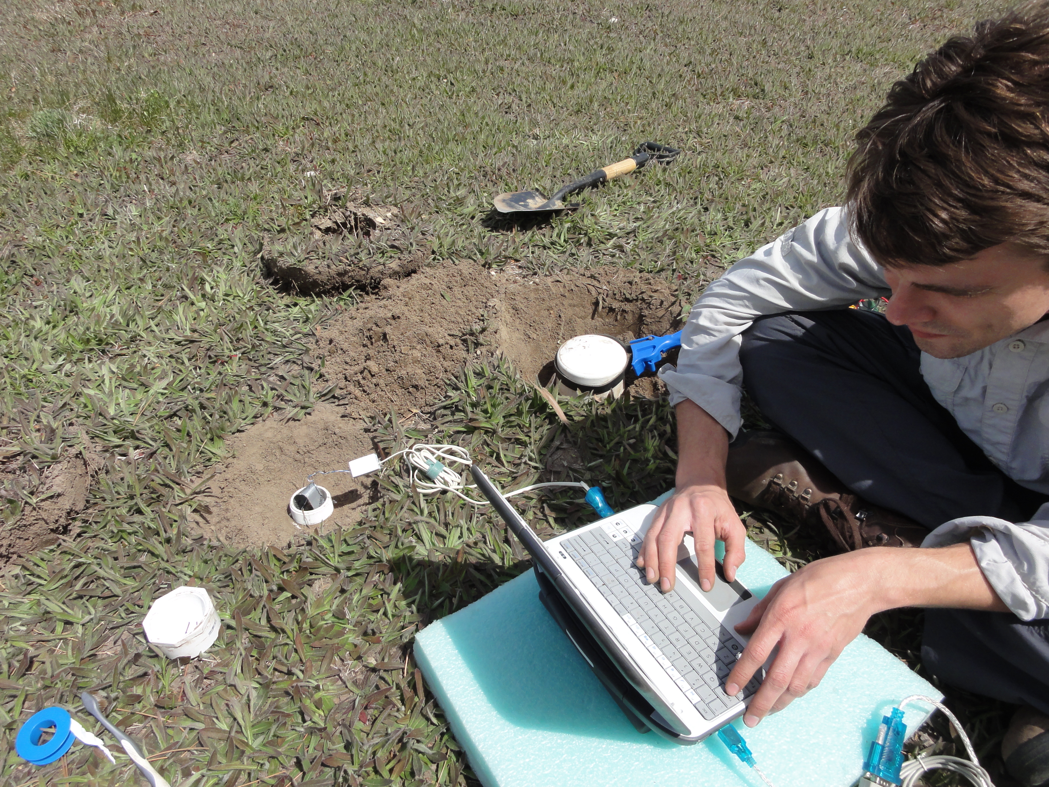
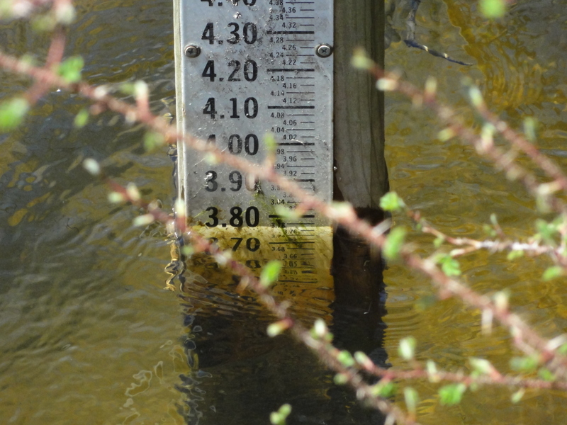
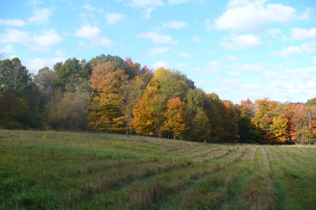
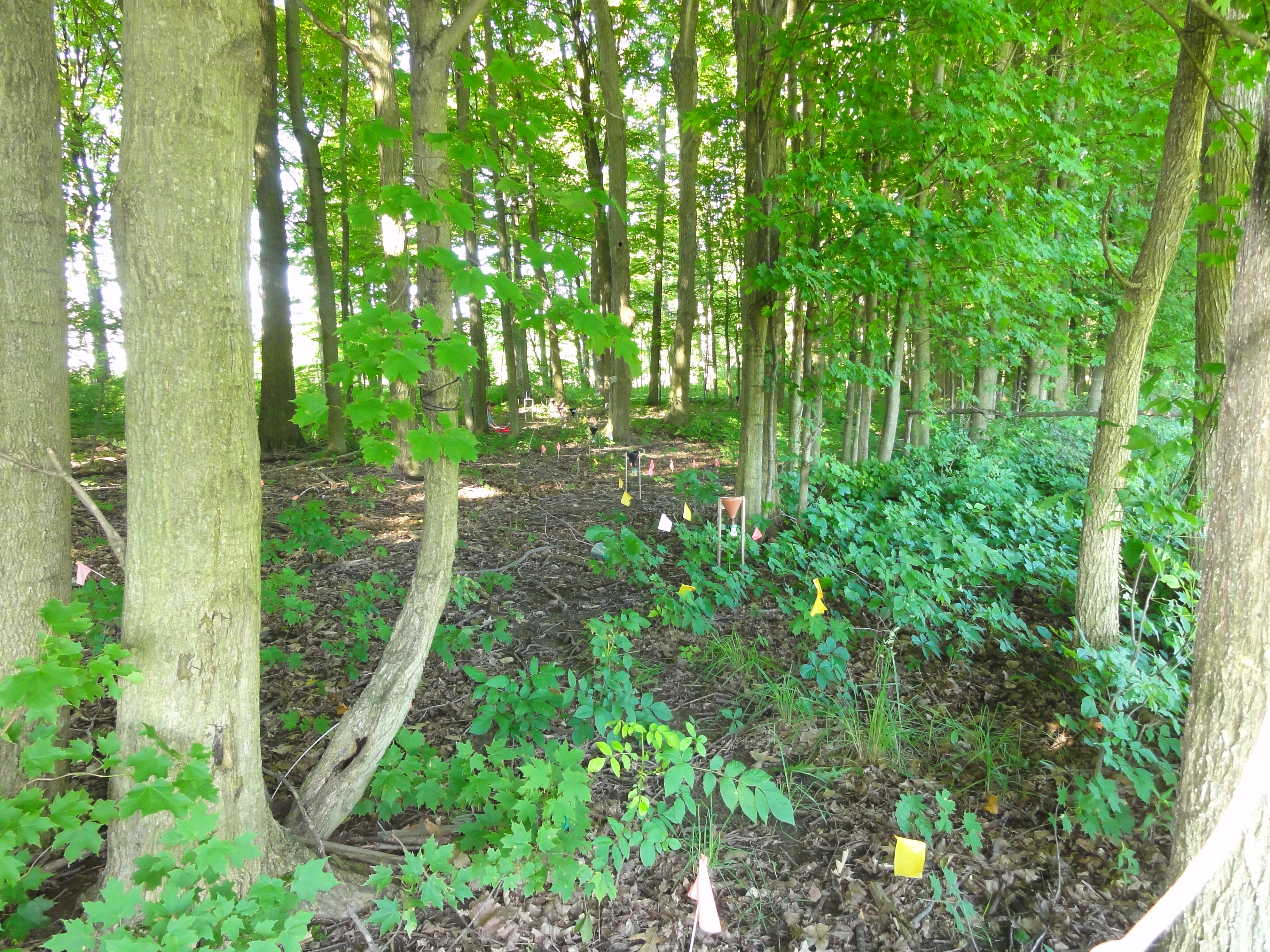
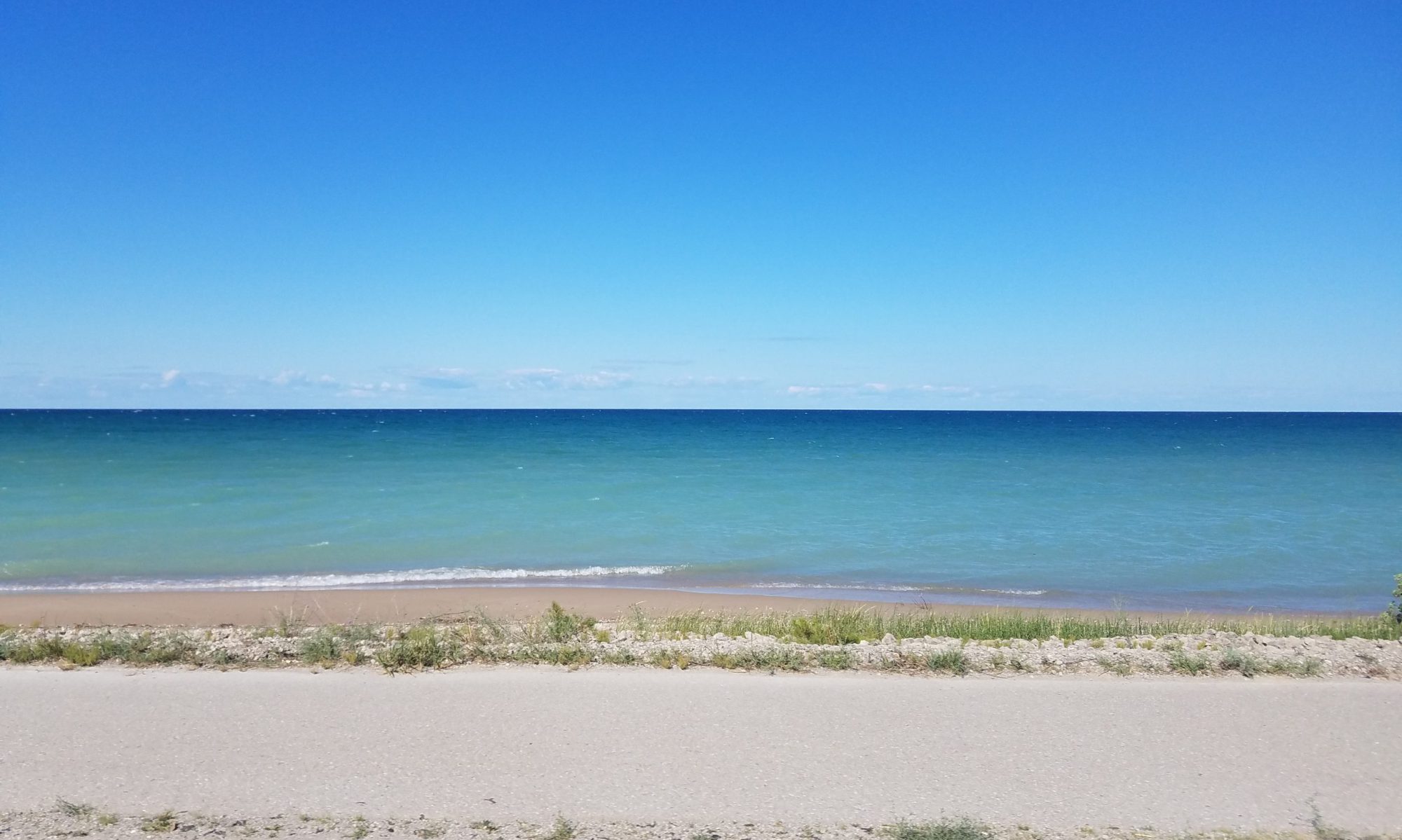
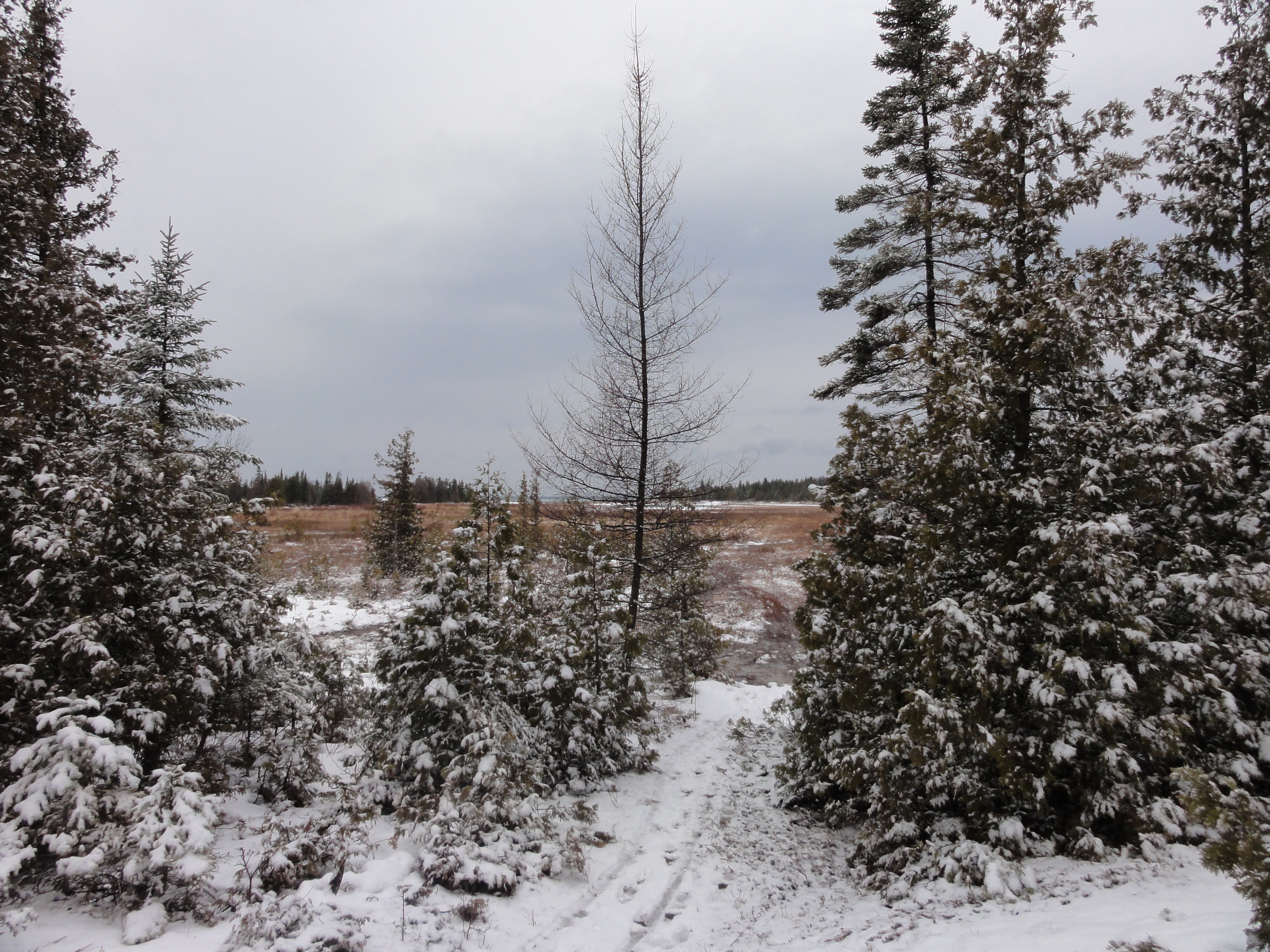
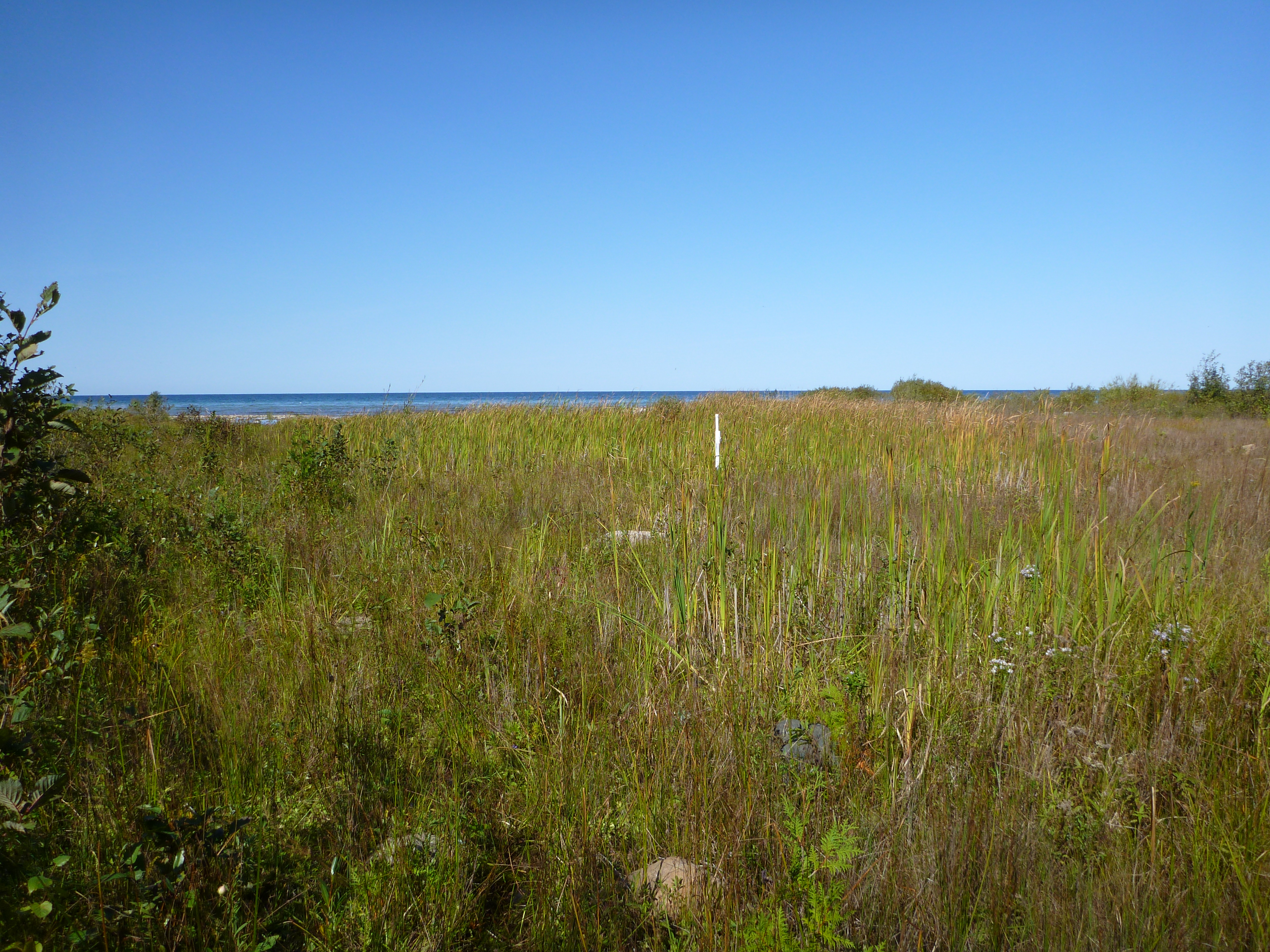
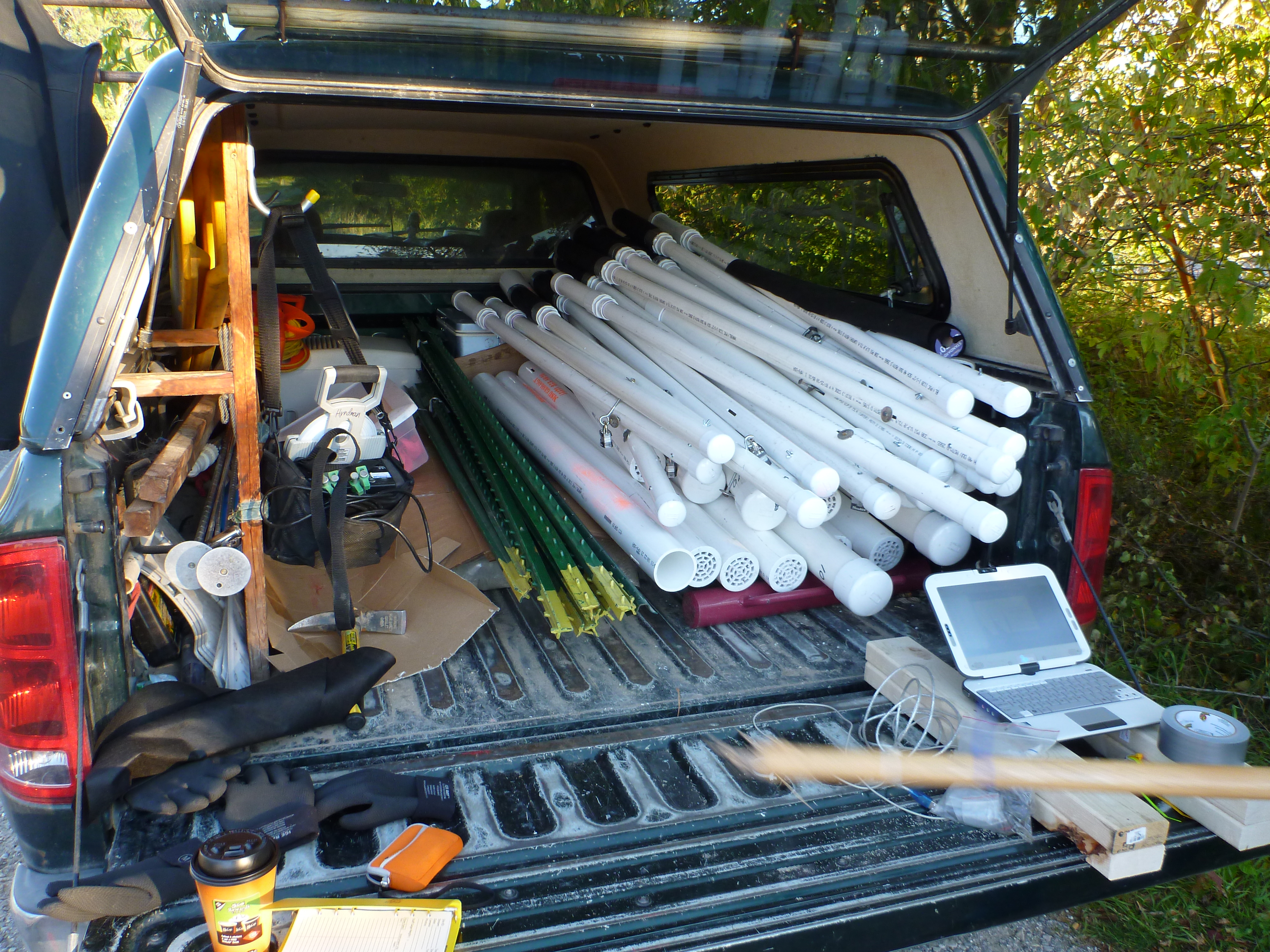
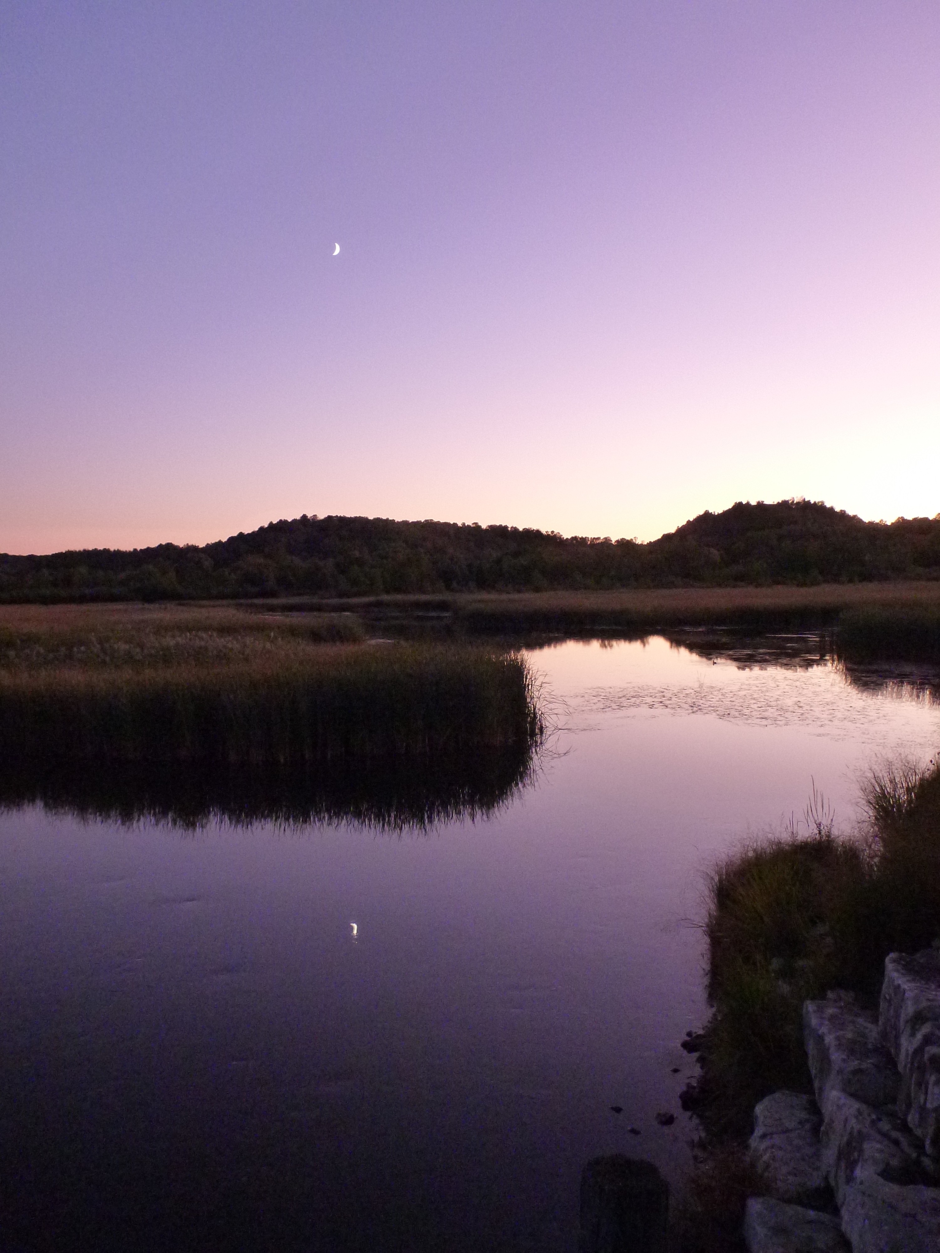
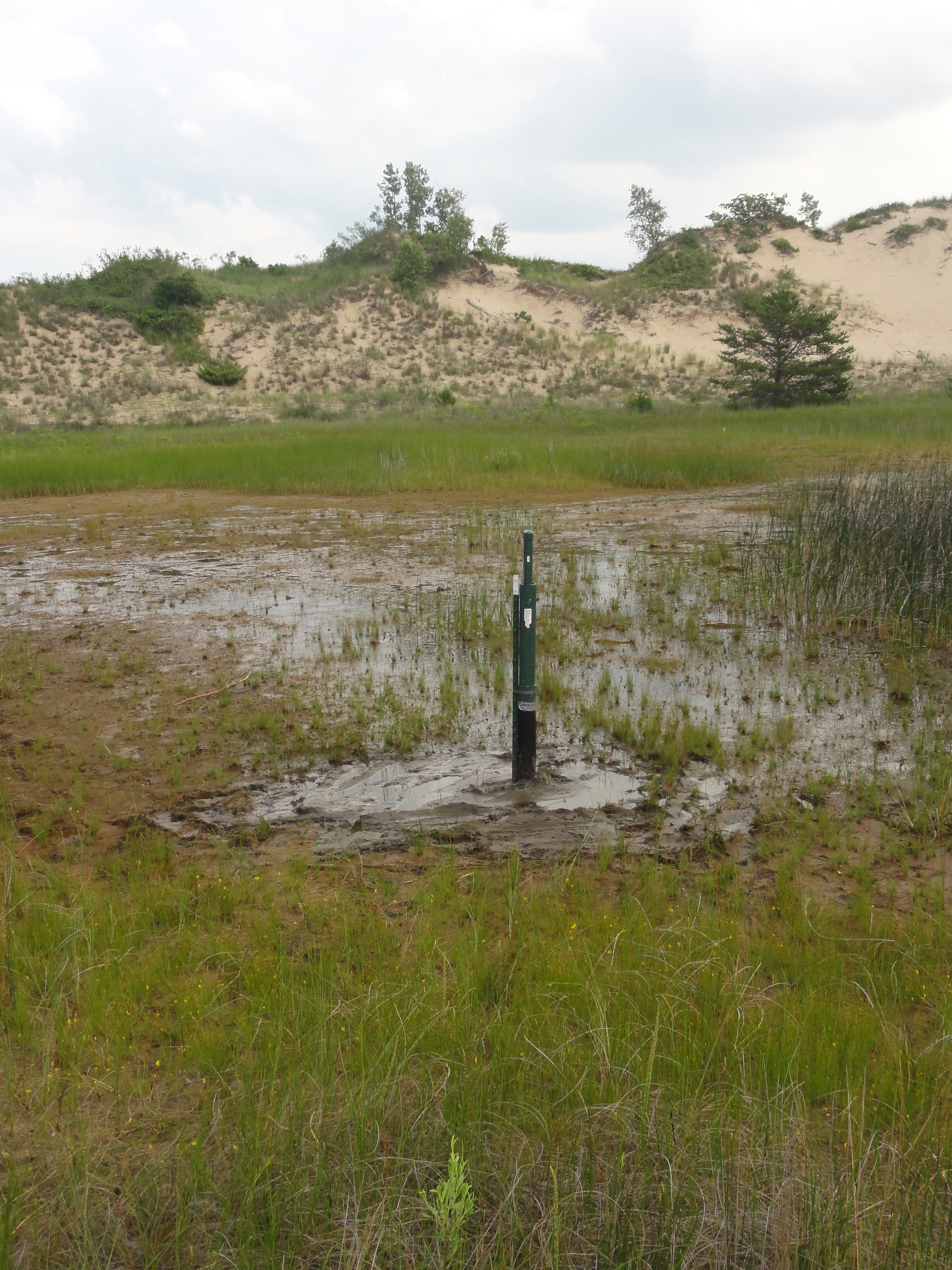
Since 2011, MSU has been collecting data from a network of 14 stream and wetland gauges spanning over 500 miles of Great Lakes coastline to try and understand the dynamic relationship between nutrients and landscape features where surface and groundwaters intersect. Furthermore, we are using the presence of Phragmites at some of the gauge sites to take a close look at how this invasive species may be impacting the ecosystem and driving nutrient exchange.

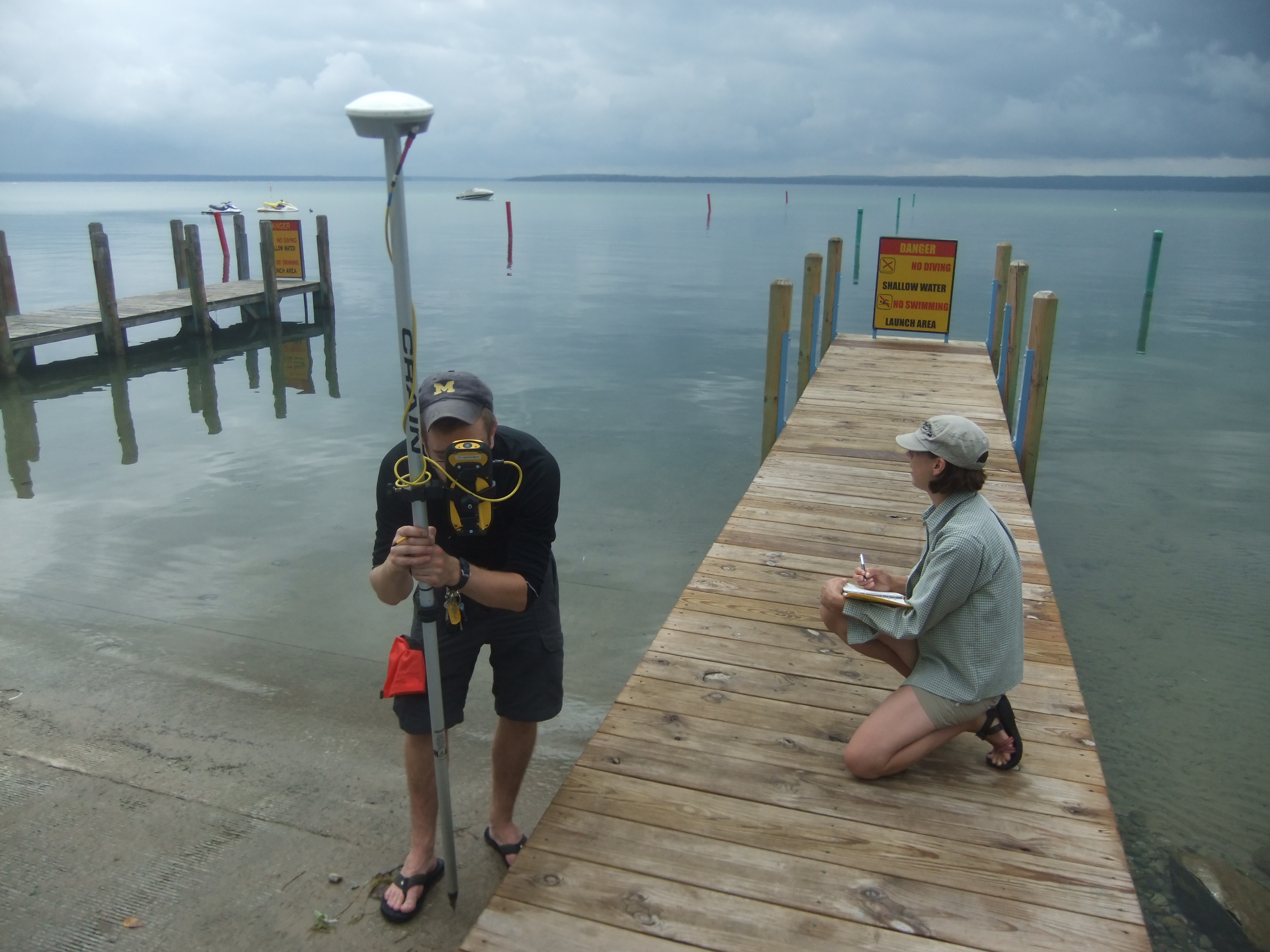
This project is funded by NASA, in collaboration with the University of Michigan and Michigan Tech Research Institute.

Wisconsin Flow Gauges

The field sites in Wisconsin are part of a project to research the groundwater quality and quantity implications of biofuel crop production.  Two watersheds, one agricultural and one forested, have approximately 17 sites each where stream discharge measurements, water samples, and basic chemical measurements are taken twice annually.  Three of the sites in the agricultural watershed also have stream gauges installed that continuously record temperature and pressure using data loggers. This work is being conducted along with partners at the University of Wisconsin, Madison.

We would like to acknowledge the USGS for funding this research.

Higgins Lake

Higgins Lake is at the headwaters of a system of rivers and lakes in the heart of the Lower Peninsula of Michigan. Residents and users of the Higgins Lake and Cut River system are keenly aware of the value of their resources, and are concerned about protecting the water quality, ecological integrity, and recreational use of the Higgins Lake and Cut River. Researchers at MSU and UM are investigating the sensitivity of the lake to future change, in an attempt to limit future negative impacts to homeowners and others who rely on the lake for its recreational opportunities and natural beauty.

We would like to thank the Michigan State Department of Natural Resources and the Higgins Lake Foundation for their support of our work in the Higgins Lake and Cut River system.

Au Sable and Manistee River Watersheds

The Au Sable and Manistee River Watersheds span the breadth of Michigan’s Lower Peninsula. Both watersheds contain areas that are vital to the agricultural and economic productivity of Michigan, as well as some of the best recreational opportunities that the Lower Peninsula has to offer. MSU has created a monitoring program in this area in order to better understand the complex feedbacks that occur in such a system, and to provide a baseline that can be used to understand the impact of future changes to the land and water resources in the watersheds.

Great Lakes Bioenergy Research Center

This site includes a series of geophysical arrays situated on 10 experimental field plots. Through a collaboration with MSU’s US Department of Energy funded GLBRC located at Kellogg Biological Station, we have been able to monitor how the resistivity signature in the near-surface changes over time. Data derived from these surveys gives us the ability to model the impact that large scale land-use change in the Great Lakes Basin will have on the hydrologic cycle.

Projects:

Multi-scale Monitoring and Modeling of Land Use and Climate Change Impacts on the Terrestrial Hydrologic Cycle: Implications for the Great Lakes Basin

Kellogg Biological Station Transition Site

Located on Kellogg Biological Station property, our aptly named “transition” site spans an ecotone that progresses from mature forest to young forest, shrub, and grass over a distance of 200m. It has been permanently instrumented with an array of electrodes for electrical resistivity (ER) surveys, as well as temperature and soil moisture probes. This site was created as part of an effort to understand how land use change impacts soil moisture distribution in the near surface. It is closely related to two of our other active study sites, Sandhill and GLBRC.

We would like to to thank the National Science Foundation for funding this research.

Projects:

Multi-scale Monitoring and Modeling of Land Use and Climate Change Impacts on the Terrestrial Hydrologic Cycle: Implications for the Great Lakes Basin

Jordan River Watershed

Since 2007, members of the MSU Hydrogeology Lab have collected temperature and flow measurements for the Jordan River, near the northern margin of Michigan’s Lower Peninsula. The three gages in this watershed produce river flow and temperature data every half hour, which is used to calibrate models of sediment transport through the system. The movement of sediment is an important factor in the ecological health of a watershed, and the data gleaned from the Jordan River will inform models that will help us understand the behavior of the watershed in the face of future change.

We would like to thank the Friends of the Jordan River Watershed for their continued support for our efforts in the Jordan River Watershed.

Grand Traverse Bay Watershed

The Grand Traverse Bay Watershed is a coastal watershed on the northeastern margin of Lake Michigan. An important area for agriculture and tourism, the Grand Traverse is currently shifting from a winter snow cover pattern of seasonal snowpack to a regime in which snow cover is ephemeral and event-driven. Historical data for the region indicates that it may be a bellwether for other ecosystems around Lake Michigan, reacting to changes before any signal is observed in other areas along the Great Lakes coastline. The likelihood that climate change will have a large impact on this watershed makes it all the more important as an area of observation, and the long-term monitoring dataset is vital in the development and calibration of hydrologic models to predict future changes in the region.

Funding agencies: NOAA Sea Grant program; NSF Multi-Scale Modeling and Monitoring

Projects:

Multi-scale Monitoring and Modeling of Land Use and Climate Change Impacts on the Terrestrial Hydrologic Cycle: Implications for the Great Lakes Basin

NOAA Sea Grant: Quantifying the Impacts of Projected Climate Changes on the Grand Traverse Bay Region: An Adaptive Management Framework

Sandhill

Sandhill is a permanently maintained and instrumented study site situated on the Allen Woodland plot near the south-eastern corner of MSU property (not far from Sandhill Rd). It was first instrumented in 2006 for a PhD thesis to answer questions about the impacts of land use change on water and nutrient cycling using the forest/grass ecotone and geophysical methods. Work at Sandhill has been the basis for several MS theses and is currently used as an educational tool while showing us long term trends in the relationship between soil moisture, vegetation, and precipitation.

Projects:

Multi-scale Monitoring and Modeling of Land Use and Climate Change Impacts on the Terrestrial Hydrologic Cycle: Implications for the Great Lakes Basin