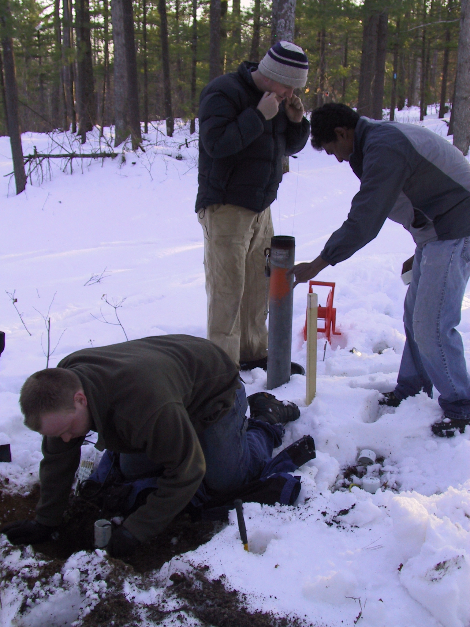
Forests cover approximately one third of the global land surface area. Changes induced by human activities can exert significant impacts on the environmental services provided by forests. Nevertheless, the long term footprints of certain types of forest cover conversions on the water and biogeochemical cycles are poorly understood. My research work has focused on observing and predicting hydrological processes in managed forested ecosystems. This is, how the disturbance and recovery of forests can affect the components of the water balance.
Currently, I am investigating the potential effects on the water quantity and quality of the Great Lakes Basin from on-going environmental changes as the intensive development of biofuel crops in the Midwestern United States. I am also involved in the large-scale assessment of the Ogallala-High Plains aquifer, one of the largest aquifers in the world, from a sustainability approach that combines climate, economic, social, crop, and hydrological models. A third topic of my research concerns the observation and modeling of subsurface processes using geophysical methods.
Moreover, I am also interested on additional topics as ecohydrology, desertification, nonlinear patterns in geophysics, climate change and infrastructure and, water management systems.
Education
- Ph.D. Forestry and Environmental Sciences, University of Freiburg, Germany. 2012. Dissertation Title: The hydrology of forest disturbance and succession during dry periods.
- M.A.S. Water resources engineering and management, Swiss Federal Institute of Technology Lausanne/Zurich, Switzerland. 2007. Thesis Title: On the sensitivity analysis of the PMF to the space-time distribution of a PMP: Analysis of the hydrological response of a catchment.
- B.Eng. Hydrological engineering, Metropolitan Autonomous University, Mexico. 2005.
Recent Publications
- Brena A, Stahl K and Weiler M (2011) Evapotranspiration and land cover transitions: long term watershed response in recovering forested ecosystems. Ecohydrology DOI: 10.1002/eco.256
- Brena A, Weiler M and Stahl K (2011) The sensitivity of a data-driven soil water balance model: insights from
a successional chronosequence. Hydrology and Earth System Sciences Accepted.
Recent Abstracts
- Brena A, Stahl K and Weiler M. 2011. How does forest disturbance and succession affect summer streamflow recession?, AGU Fall Meeting, San Francisco, USA.
- Brena A, Weiler M and Stahl K. 2011. Predicting evapotranspiration in a successional forest without eddy covariance measurements, EGU General Assembly, Vienna, Austria.
- Brena A, Weiler M, Stahl K and Smith R. 2010. Comparative ecohydrology across disturbed forested watersheds: soil moisture regimes and storage-discharge relationships, LATSIS Symposium. Lausanne, Switzerland.
- Brena A, Weiler M and Stahl K. 2010. Inferring long-term water balance dynamics in forested watersheds: tracing vegetation cover transitions, EGU General Assembly, Vienna, Austria.
- Gaume E, Bain V, Marchi L, Preciso E, Bass S, Brena A, Borga M, Bonnifait L, Horvat O, Rogga M, Stegmeier A, Schütz T and Viglione A. 2009. An intensive Post Event Campaign (IPEC) on the extreme flash flood which affected the Starzel river (Germany) on the 2nd of June 2008, EGU General Assembly, Vienna, Austria.
- Brena A, Schneider J, Stahl K. and Weiler M. 2009. Estimation of low flows sensitivity to climate and land use changes using a parsimonious water balance model, EGU General Assembly, Vienna, Austria.
- Brena A,. 2006. Strategies for flood prediction in large urban zones, 2nd International Symposium “Preventing and Fighting Hydrological Disasters”, Timisoara, Romania.
- Brena A, and Briseno F. 2005. Strategies for flood prediction in large urban zones, 4th Worldwide Workshop for Young Environmental Scientists CEREVE-UNESCO-IWA, Paris, France.
- Brena A,. 2003. Managing Urban Development and Industrial Growth in the Basin of Mexico, 13th Stockholm Water Symposium, Stockholm, Sweden.
Complete CV
]]> Research:
My research focuses on developing source models for nutrient loading to watersheds in the lower peninsula of Michigan. Watershed nutrient loading models are important tools used to address issues including eutrophication, harmful algal blooms, and decreases in aquatic species diversity. A source specific model will help show the value of detailed source inputs, revealing regional trends while still providing insight to the existence of variability at smaller scales.
I have additional interest and background in groundwater management, characterization, and prediction for mining projects and contaminated sites.
Education:
Dartmouth College, 2008 BA
Recent Abstracts:
Luscz E.C., Kendall, A.D., Martin, S.L., Hyndman, D.W. (2011): Modeling Nutrient Loading to Watersheds in the Great Lakes Basin: A Detailed Source Model at the Regional Scale, AGU Fall Meeting, San Francisco
Breckenridge, James Larry; Luscz, Emily (2011): Predicting Underground Mine Dewatering Requirements: A Case Study of a Precious Metal Mine in a Subtropical Environment. – In: Rüde, R. T., Freund, A. & Wolkersdorfer, Ch.: Mine Water – Managing the Challenges. – p. 101 – 105; Aachen, Germany.
]]> Large portions of the Ogallala-High Plains aquifer (henceforth, HPA) complex, underlying approximately 450,000 km2 from Texas to South Dakota, are experiencing fundamentally unsustainable groundwater withdrawals due to large scale irrigation [McMahon 2000]. Since pumping began in earnest in the 1930’s [Weeks et al. 1988], storage in the HPA, the largest aquifer in North America [Jackson et al. 2001], has declined by 333 km3 [McGuire 2009]. Despite rapid water table drawdown and near depletion of some portions of the aquifer [McGuire 2009], irrigated acreage continues to expand [NASS 2007, 2002, 1997]. Underlying natural and socioeconomic drivers of this expansion are heterogeneous in time and space, driven by changes in climate, product demand (due to biofuels development, global population expansion, etc.), energy costs, and other factors [i.e. Peterson and Bernardo 2003]. Although a range of management and policy actions could help move this region toward sustainability, such efforts are complicated by a diverse range of state laws and regulations, economic drivers and agricultural production systems, variable soil productivity and aquifer storage, and forecast changes in temperature and precipitation [e.g., Ashley and Smith 1999; McGuire et al. 2003; Sophocleous 2010].
We propose to address the sustainability of HPA irrigated agriculture by simulating the linked physical, agroengineering, and socioeconomic systems of the region using a suite of climate, hydrology, and biophysical models coupled to socioeconomic models that simulate crop rotation and irrigation decisions in response to markets, policies, and physical drivers. This linked set of models will allow us to characterize and quantify interactions and feedbacks between social and natural systems, provide a thorough understanding of drivers of historical changes, and offer predictive forecasts of the sustainability of various land management alternatives under a range of climate conditions. In particular, we will investigate the social, economic, agricultural, climatological, and hydrologic impacts of land management scenarios ranging from business-as-usual, to managed aquifer depletion, to full sustainability under both static and changing climate conditions. This work will build on related efforts including the coupling of land use, hydrology, and ecosystem models to predict the changes in hydrology and ecosystems in lower Michigan [e.g., Wiley et al, 2010, Kendall and Hyndman, in review], and the CLIP project that coupled socioeconomic models with a regional climate model (RCM) to predict the feedbacks between land use, agriculture, and climate change in East Africa [e.g., Olson et al. 2008; Moore et al. 2009; Moore et al. in review].

Developing management strategies to minimize algal blooms requires detailed knowledge about the landscape factors that drive them. We will use over 35 years of Landsat imagery to map nearshore algal bloom intensity and extent at unprecedented spatial and temporal resolution. These will be related to watershed nutrient and sediment exports predicted using advanced watershed models at both sub-basin and Great Lakes Basin scales. We will then establish nutrient thresholds for specific HAB risks, identify sources of nutrients on the landscape, and prioritize restoration strategies.
]]>
We propose to apply a newly-developed coupled crop-growth and hydrologic model SALUS-ILHM, to simulate scenarios of climate change impacts on crop yields and water resources across the Maumee River Watershed (MRW) in Southeast Michigan, Northeast Indiana, and Northwest Ohio.
Scenarios will include a range of statistically-downscaled GCM forecasts, cultivar adaptation and yield curves, single- and double-cropping strategies, planting and harvest times, and irrigation technology adoption. The coupled SALUS-ILHM model will be able to explicitly simulate both biophysical and hydrological processes in each sub-square kilometer cell. This will allow us to evaluate the role that landscape factors, such as slope and soil texture, will likely play in the response of crop yields and water resources to model scenarios.
We will assess the impacts of forecast warmer temperatures, altered precipitation, and increasing CO2 concentrations on crop yields under different management strategies. We will also evaluate how climate change and associated management scenarios would alter groundwater levels and stream flows in the MRW.
]]>In contrast to the Western U.S., many climate change models predict increased precipitation in the Great Lakes region. This increased precipitation (and runoff), coupled with warmer temperatures, has the potential to significantly affect sediment production and transport in Great Lakes rivers, increasing the loadings to federal harbors that already have a large dredging backlog. Additionally, a number of future climate scenarios predict lower water levels in the Great Lakes, which would further exacerbate the impacts on harbors. This project will look at two federal harbors in the Great Lakes and their watersheds in order to examine potential impacts. The information gained from this work is expected to allow the Corps to make qualitative comparisons with current dredging requirements at most of the federal harbors in the Great Lakes.
This study will specifically look at the St. Joseph River (located in Michigan and Indiana), which enters Lake Michigan through Detroit District’s St. Joseph Harbor, and the Maumee River (located in Ohio), which enters Lake Erie through Buffalo District’s Toledo Harbor. These harbors were selected both because of their sizable dredging requirements and the existence of sediment production and transport models that can be fed new climate scenarios.
Sediment models for these two watersheds have been produced under previous Corps of Engineers tributary modeling studies. This project will also utilize information on climate change specific to the Great Lakes that has been produced for the International Upper Great Lakes Study by scientists from NOAA’s Great Lakes Environmental Research Laboratory and Environment Canada. Additional hydrology models for the two watersheds are also available from Michigan State University.
]]>The associated land cover/management changes will have unknown, but potentially significant, impacts on the quantity and quality of groundwater recharge. This recharge is the primary source of water to streams, lakes, and wetlands across the region. Additionally, Midwestern climate is predicted to change significantly in the coming decades with warmer temperatures, as well as higher precipitation and evapotranspiration, potentially leading to a net soil moisture deficit along with more frequent flooding (USGCRP, 2009). Working in conjunction with the Great Lakes Bioenergy Research Center (GLBRC), researchers from the University of Wisconsin (UW)-Madison, Michigan State University (MSU), Ball State University (BSU) and the United States Geological Survey (USGS) will conduct a collaborative multi-scale effort to:
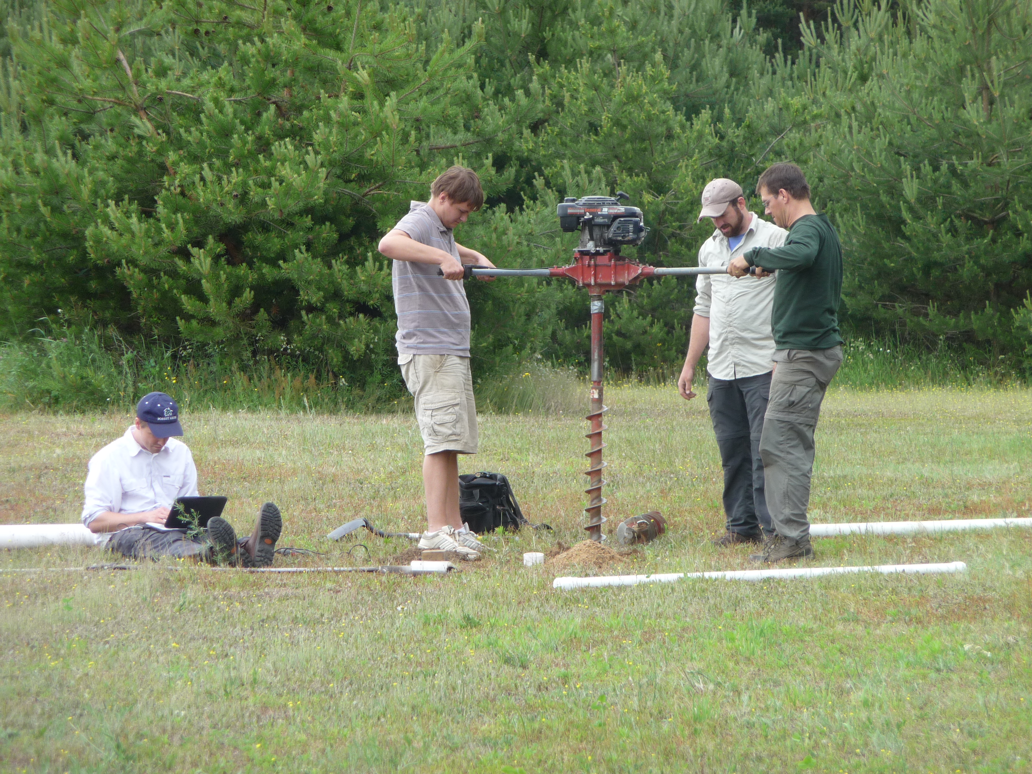
- 1) expand ongoing field monitoring effort to collect a detailed data set of collocated, surface and subsurface water and nutrient fluxes and above- and below-ground biomass for a variety of model biofuel feedstock cropping systems,
- 2) use our data set along with regional water quality and quantity data, provided in part by USGS, to further develop, parameterize and validate a new biogeophysical hydrology model,
- 3) use our model to explore the implications of coupled climate change and biofuel-based land-use changes for Great Lakes Basin water quantity and quality, and
- 4) perform a side-by-side comparison between a new landscape hydrology code and a USGS hydrology model.
Forecasting the effects of large-scale changes in agricultural management practices on groundwater is a significant shift from the past when such impacts were given little consideration. There is urgent need for studies of coupled land use and climate change because both changes are happening simultaneously. Our analyses will provide important information for water resource managers charged with protection of water for ten percent of the United States population and also land managers and farmers concerned with optimizing sustainable biofuel production in a time of impending climate change.
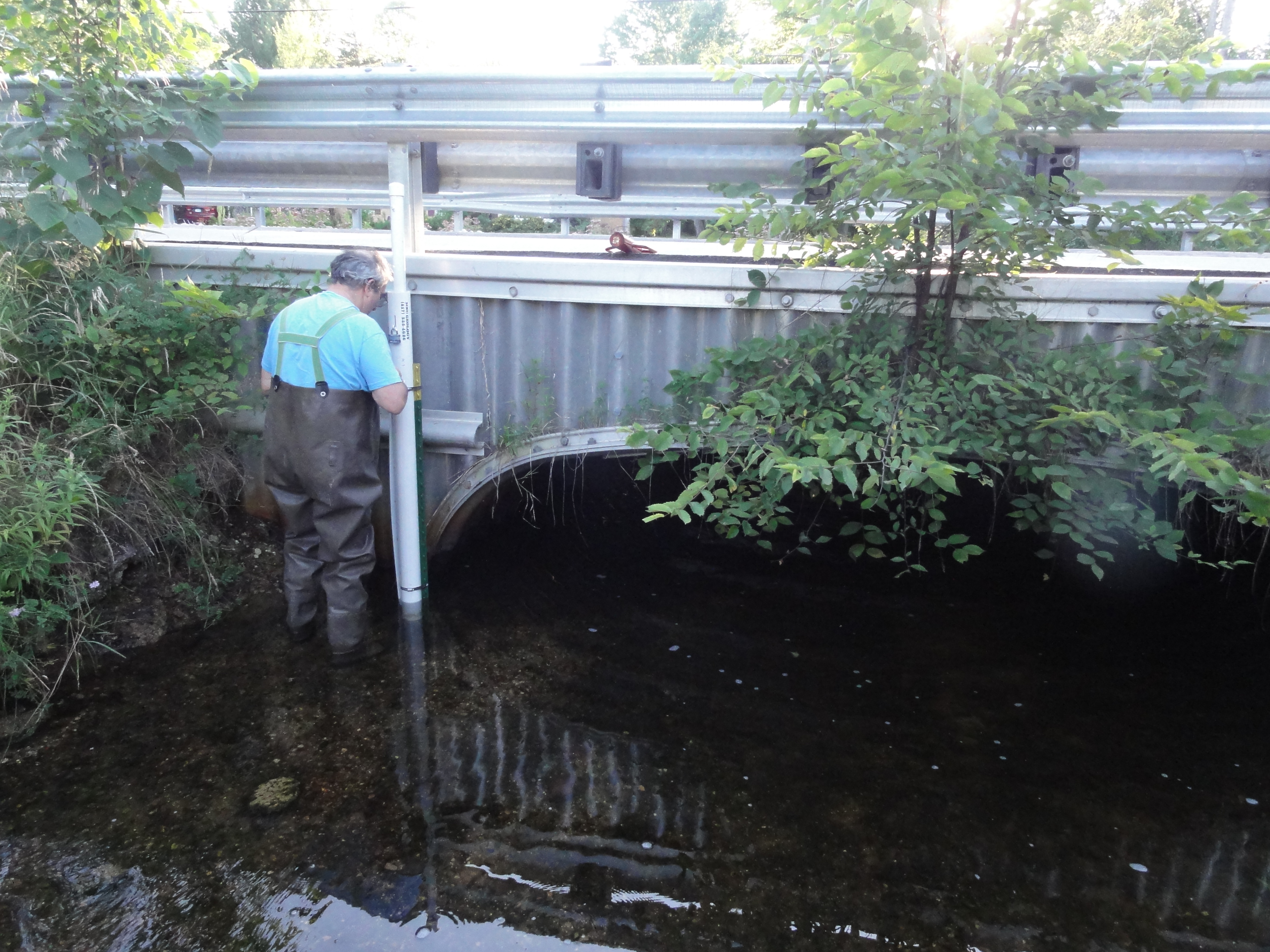
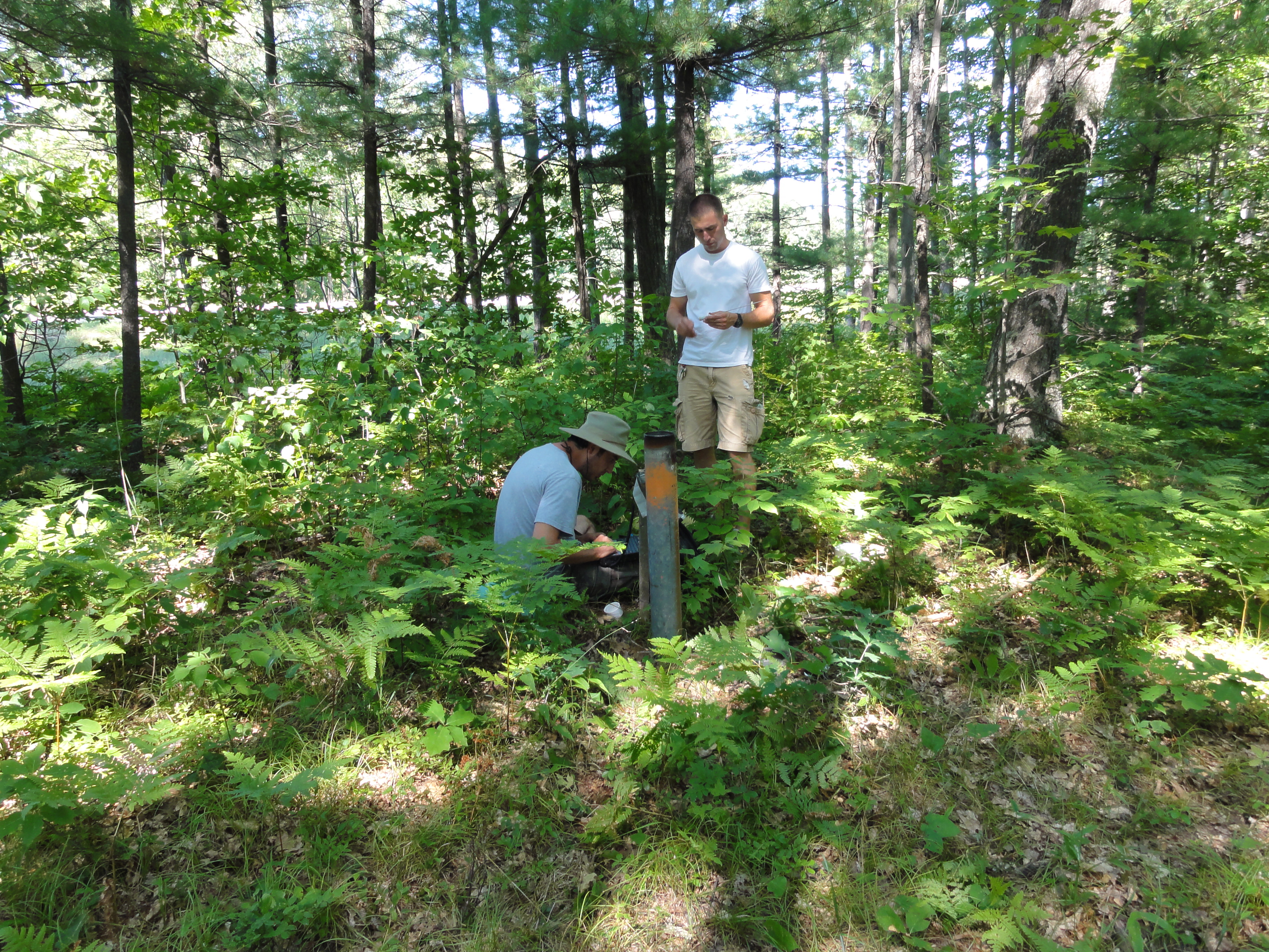
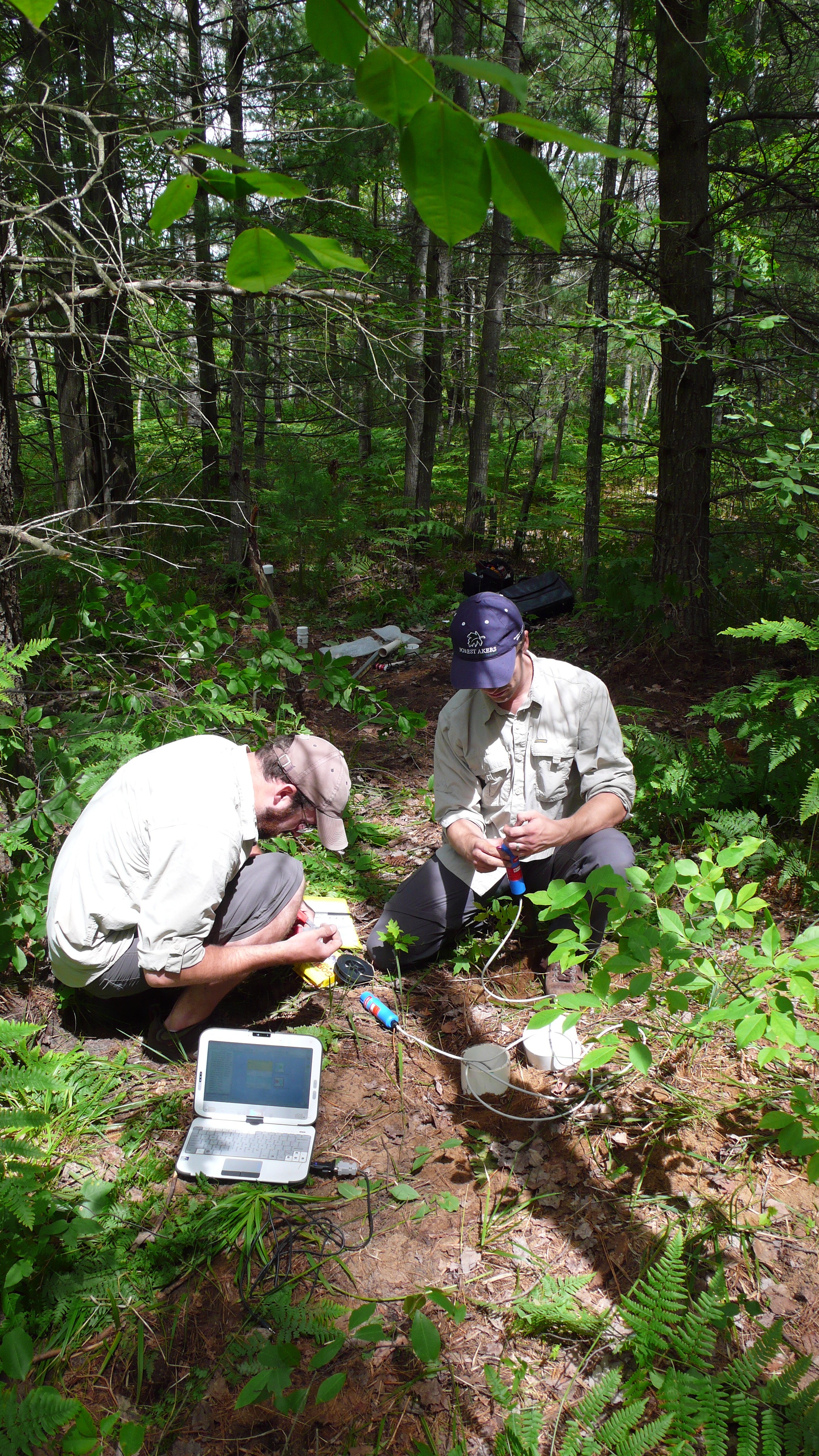
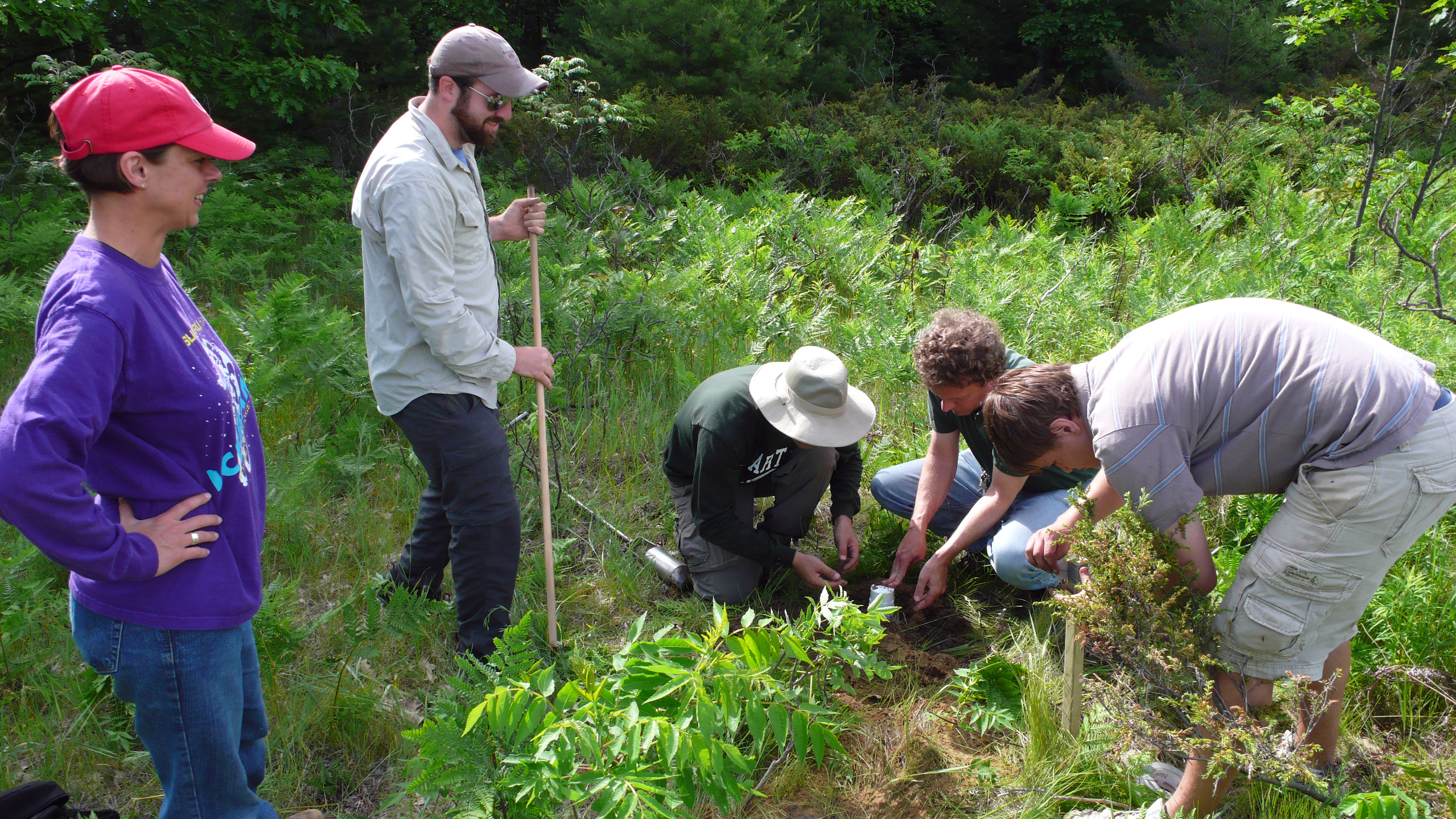
]]> Vadose‐zone soil moisture is an important driver of processes in agricultural, hydrological, ecological, and climate systems, yet the detailed nature of plant water use across ranges of scales is often poorly characterized. With projected changes in climate and land use (including afforestation, urbanization, agricultural intensification, and biofuels production) there is a critical need to understand the likely impacts on the hydrologic cycle and ecosystem health. Important hydrological and biophysical processes are not adequately characterized with point estimates, and models of rootwater uptake are generally unable to accurately predict such changes. Our objectives are to: 1) quantify multi‐scale dynamics of vegetation‐water interactions across different land cover types to improve predictive capabilities of hydrologic models, and 2) explore the impacts of land use and climate changes on watershed‐ to Great Lakes Basin‐scale hydrologic fluxes.

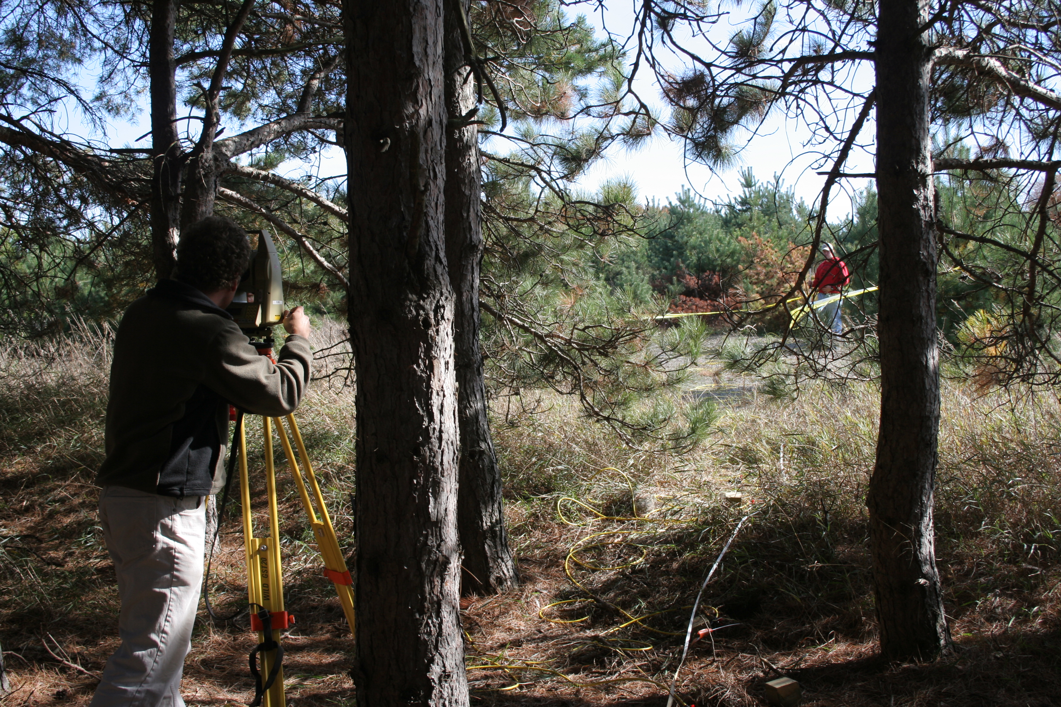
To explore the likely effects of projected changes in climate and land cover, we propose to use time‐lapse electrical resistivity imaging and a novel coupling of a fully integrated terrestrial hydrology model with a dynamic vegetation growth model to study managed and natural sites along a climate gradient across a range of soils. The intellectual merit of this research includes 1) improved knowledge and predictive capability of short‐ and long‐term processes that drive the terrestrial water cycle, 2) root‐zone moisture and root‐development data that will improve parameterization of roots in coupled land surface and climate models, and 3) quantitative information about implications of land use and climate changes across a range of scales.
Our work also has several significant broader impacts. First, the analysis will provide a critical foundation for further exploration of the impacts of biofuel crop development and reforestation for energy independence and carbon sequestration initiatives. Second, we are developing novel tools to image transient moisture under a range of land uses and climate conditions, and predict the impacts of climate and land use changes on the terrestrial hydrologic cycle. Third, the developed tools would increase the efficiency of resource allocation for monitoring natural and managed systems by practitioners in agriculture, ecology, and hydrology. Fourth, this project will advance discovery and understanding while promoting teaching, training and learning through an ongoing study of the impact of undergraduate research experiences. Finally, findings of the proposed work will be highlighted by existing outreach programs, and ultimately may play a pivotal role in policy decisions regarding the environmental sustainability of the various land management options.
]]>
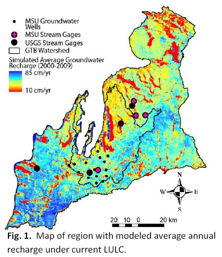
Great Lakes coastal communities are already feeling the impacts of climate variability and change. Communities across the Grand Traverse Bay (GTB) watershed have witnessed changes in lake ice cover, seasonal precipitation, air and lake temperatures, and storm severity.
These changes have occurred against a backdrop of increasing population and urbanization across the watershed. Parallel climate and land use change drivers have altered water sediment, nutrient, toxin, and pathogen fluxes across the GTB watershed. Forecasts suggest that warming temperatures and altered precipitation patterns are likely to accelerate during the 21st century, which threatens economically and ecologically vital uses of the GTB and its contributing waters.
We propose to conduct an Integrated Assessment (IA) of vulnerabilities and risks of climate variability and change to the GTB. The IA will consist of parallel and intersecting tracks of stakeholder engagement through interactive workshops and technical assessments conducted by an interdisciplinary team from Michigan State University. The team seeks to better inform stakeholders and the scientific community about the vulnerability of the GTB to climate variability and change, and will begin a process of adaptive management that should ultimately improve the capabilities of regional stakeholders to respond to and mitigate the impacts of change.


 ]]>
]]> Research Interests
My primary research interest is the impacts of global change on hydrology and sediment. This encompasses investigating causes of changing streamflow across Michigan, land use impacts due to a ski area in Minnesota, legacy forestry impacts in Northern Michigan, and potential impacts of climate change on hydrology and sediment yield from agricultural watersheds in the southern portion of the Great Lakes Basin.
Education
Certificate, Complex Systems, University of Michigan, Ann Arbor, MI, 2004.
M.S.E., Environmental Engineering, University of Michigan, Ann Arbor, MI, 2003.
B.S., Industrial & Management Engineering, Rensselaer Polytechnic Institute, Troy, NY, 1998.
Publications
Calappi TJ, CJ Miller, DD Carpenter, TA Dahl (2011). Developing a Family of Curves for the HEC-18 Scour Equation. Journal of Hydraulic Engineering (In Review)
Stone AG, MS Riedel, TA Dahl, JP Selegean (2010). Application and Validation of a GIS-Based Stream Bank Stability Tool for the Great Lakes Region. J. Soil and Water Conservation, 65 (4): 92A-98A.
Dahl TA and TR Willemain (2001). The effect of long-memory arrivals on queue performance. Oper. Res. Lett. 29(3): 123-127.
Abstracts
Dahl TA, CT Creech, JP Selegean (2011). Reducing Sediment Loads to USACE Harbors: Case Studies from the Great Lakes. U.S. Army Corps of Engineers Infrastructure Systems Conference, June 13-17, Atlanta, GA.
Calappi TJ, TA Dahl, KW Kompoltowicz (2011). Water Level Forecasting and Regulation in the Upper Great Lakes. U.S. Army Corps of Engineers Infrastructure Systems Conference, June 13-17, Atlanta, GA.
Dahl TA, JW Lewis (2011). The Use of Residual Net Basin Supplies in the Great Lakes. IAGLR 54th Conference on Great Lakes Research, May 30-June 3, Duluth, MN.
Creech CT, JP Selegean, TA Dahl (2011). Reducing Sediment Yields to Lake Superior: Case Studies from the Great Lakes Tributary Modeling Program. IAGLR 54th Conference on Great Lakes Research, May 30-June 3, Duluth, MN.
Dahl TA, JL Ryder, JP Selegean (2010). Non-Stationary Annual Peak Flows in the Lower Peninsula of Michigan; Potential Evidence for Climate Change Observed in the Mid-20th Century. American Geophysical Union Fall Meeting, December 15-19, San Francisco, CA.
AG Stone, MS Riedel, TA Dahl, JP Selegean (2010). Boardman River Existing-Conditions SIAM Model for Dam Removal Study. 2nd Joint Federal Interagency Conference, June 27-July 1, Las Vegas, NV.
Riedel MS, TA Dahl, JP Selegean (2010). Sediment Budget Development for the Great Lakes Region. 2nd Joint Federal Interagency Conference, June 27-July 1, Las Vegas, NV.
Creech CT, JP Selegean, TA Dahl (2010). Historic and Modern Sediment Yield from a Forested Watershed and its Impact on Navigation. 2nd Joint Federal Interagency Conference, June 27-July 1, Las Vegas, NV.
JP Selegean, RB Nairn, TA Dahl, CT Creech (2010). Building a better understanding of sediment issues through the application of a long-term fluvial and littoral sediment budget. 2nd Joint Federal Interagency Conference, June 27-July 1, Las Vegas, NV.
Creech CT, JP Selegean, RE McKeever, TA Dahl (2010). The Ontonagon River: A History of Sediment Yields in a Geologically Young Watershed. IAGLR 53rd Conference on Great Lakes Research, May 17-21, Toronto, ON.
Dahl TA, MA Kropfreiter, SJ Tule (2009). 150 Year Old Infrastructure vs. HEC-RAS: Modeling the Lower Fox River, WI. U.S. Army Corps of Engineers Infrastructure SystemsConference, July 20-24, Cleveland, OH.
Dahl TA, JP Selegean, MS Riedel (2009). A GIS-Based Channel Stability Tool for the Great Lakes Region. U.S. Army Corps of Engineers Infrastructure Systems Conference, July 20-24, Cleveland, OH.
Dahl TA, MH Mahoney, JP Selegean (2008). An Observed Regime Shift in SE Michigan Bankfull (Q1.5) Streamflow Records. American Geophysical Union Fall Meeting, December 15-19, San Francisco, CA.
Dahl TA and JP Selegean (2008). The Right Tool for the Job: Creating a Full Suite of Models to Help the Clinton River Decrease Sediment Loading. IAGLR 51st Conference on Great Lakes Research, May 19-23, Peterborough, ON.
McPherson MM and TA Dahl (2008). Modeling the Routing of Water Through the Upper Lakes Using HEC-RAS. IAGLR 51st Conference on Great Lakes Research, May 19-23, Peterborough, ON.
Dahl TA and JP Selegean (2007). Tools to Study Sediment Transport in the St. Joseph River Watershed. State of Lake Michigan Conference, 27-28 September, Traverse City, MI.
Dahl TA and JP Selegean (2007). Modeling Sediment Yield and Flow in a Rapidly Urbanizing Watershed. U.S. Army Corps of Engineers Infrastructure Systems Conference, June 25-29, Detroit, MI.
Selegean JP, TA Dahl, RB Nairn (2007). The Quantification of Sediment Production, Transport and Deposition with Numerical Models. IAGLR 50th Conference on Great Lakes Research, May 28-June 1, State College, PA.
Riedel MS, D Vujisic, JP Selegean, AG Stone, TA Dahl (2007). A GIS Based Streambank Stability Tool for the Great Lakes Region. IAGLR 50th Conference on Great Lakes Research, May 28-June 1, State College, PA.
Stone AG, MS Riedel, TA Dahl, JP Selegean, D Vujisic (2007). Application and Validation of a GIS Based Streambank Stability Tool for the Great Lakes Region. IAGLR 50th Conference on Great Lakes Research, May 28-June 1, State College, PA.
Dahl TA, M Jonas, P O’Brien, JP Selegean (2006). Two-Stage Agricultural Ditch – Hydraulic and Sediment Impacts (Sebewaing River Basin, Michigan). American Geophysical Union Fall Meeting, December 11-15, San Francisco, CA.
Selegean JP and TA Dahl (2006). Modeling Great Lakes Sediments from Source to Sink. NSF MARGINS Conference on Teleconnections Between Source and Sink in Sediment Dispersal Systems. September 17-21, Eureka, CA.
]]>
 Research Interests
Interactions between land use change and groundwater availability; sustainability of water resources in the face of change
My work focuses on the ways in which changes on the land surface – particularly changes in management practices – affect aquifers. Myriad feedbacks exist between groundwater availability and the human decisionmaking process. Through my work on the High Plains Aquifer, I am learning to approach complex “coupled human and natural systems” from an interdisciplinary modeling perspective.
Education
- 2011-Present: Ph.D. student in Environmental Geosciences and Environmental Science and Policy at Michigan State University.
- 2005-2010: BS in International Field Geosciences jointly awarded from the University of Montana and University College Cork.
- 2005-2010: BA in Zoology at the University of Montana.
Presentations
2012 American Geophysical Union Conference: “A New Assessment of Groundwater Levels of the High Plains Aquifer: From Predevelopment to Current” (poster)
Complete CV
]]>

The Landscape Hydrology Model (LHM) is a new landscape hydrology simulation suite capable of very large domain, fine resolution modeling. It simulates nearly the entire terrestrial hydrologic cycle with full energy- and water-balance physically-based component modules. LHM incorporates a host of novel components, but integrates fully with the USGS MODFLOW software, and allows existing MODFLOW simulations to run with little modification.
Structure
LHM is written primarily in MATLAB, with a number of ArcGIS interface modules written in Python. It is coupled with MODFLOW using a pass-to-disk coupling, which requires a slight modification of the MODFLOW source code. Currently, the plan is to migrate fully to Python within the next year, as Python provides a much more robust development environment, and greater possibilities for GUI front end development.
Release
LHM is currently nearing public release. If you are interested in previewing the software, or collaborating on its development, contact Anthony Kendall. The software and all associated model development tools will be released under an open source license. It is the intention of the developers that LHM be adopted by the broader community as a tool for landscape hydrologic simulations at a variety of spatial scales.
Developers
LHM was developed at Michigan State University primarily by Anthony Kendall and Dr. David Hyndman. The work of students including Dushmantha Jayawickreme, Nicklaus Welty, and Cheryl Kendall was critical to the development of earlier versions of the software.
Related Publications:
- Wiley, MJ, DW Hyndman, BC Pijanowski, AD Kendall, C Riseng, ES Rutherford, ST Cheng, ML Carlson, JA Tyler, RJ Stevenson, PJ Steen, PW Seelbach, JM Koches, and RR Rediske, (2010), A multi-modeling approach to evaluating climate and land use change impacts in a Great Lakes River Basin, Hydrobiologia, doi: 10.1007/s10750-010-0239-2
- Hyndman, DW, AD Kendall, and NRH Welty, (2007), Evaluating Temporal and Spatial Variations in Recharge and Streamflow Using the Landscape Hydrology Model (LHM), Subsurface Hydrology: Data Integration for Properties and Processes, AGU Geophysical Monograph Series 171: 121-141
Related Conference Abstracts:
- Kendall, A, JA Bernstein, and DW Hyndman, (2007), Improving Regional Groundwater Recharge Models With A Network Of High-Resolution Temperature Recording Buttons, Geological Society of America, Abstracts with Programs
- Kendall, AD, and DW Hyndman, (2007), Simulating Fluxes Through Large Watersheds Using Remotely Sensed and Ground Based Datasets With the Landscape Hydrology Model LHM, Geological Society of America, Abstracts with Programs