Higgins Lake

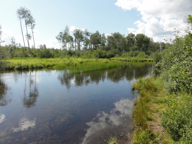
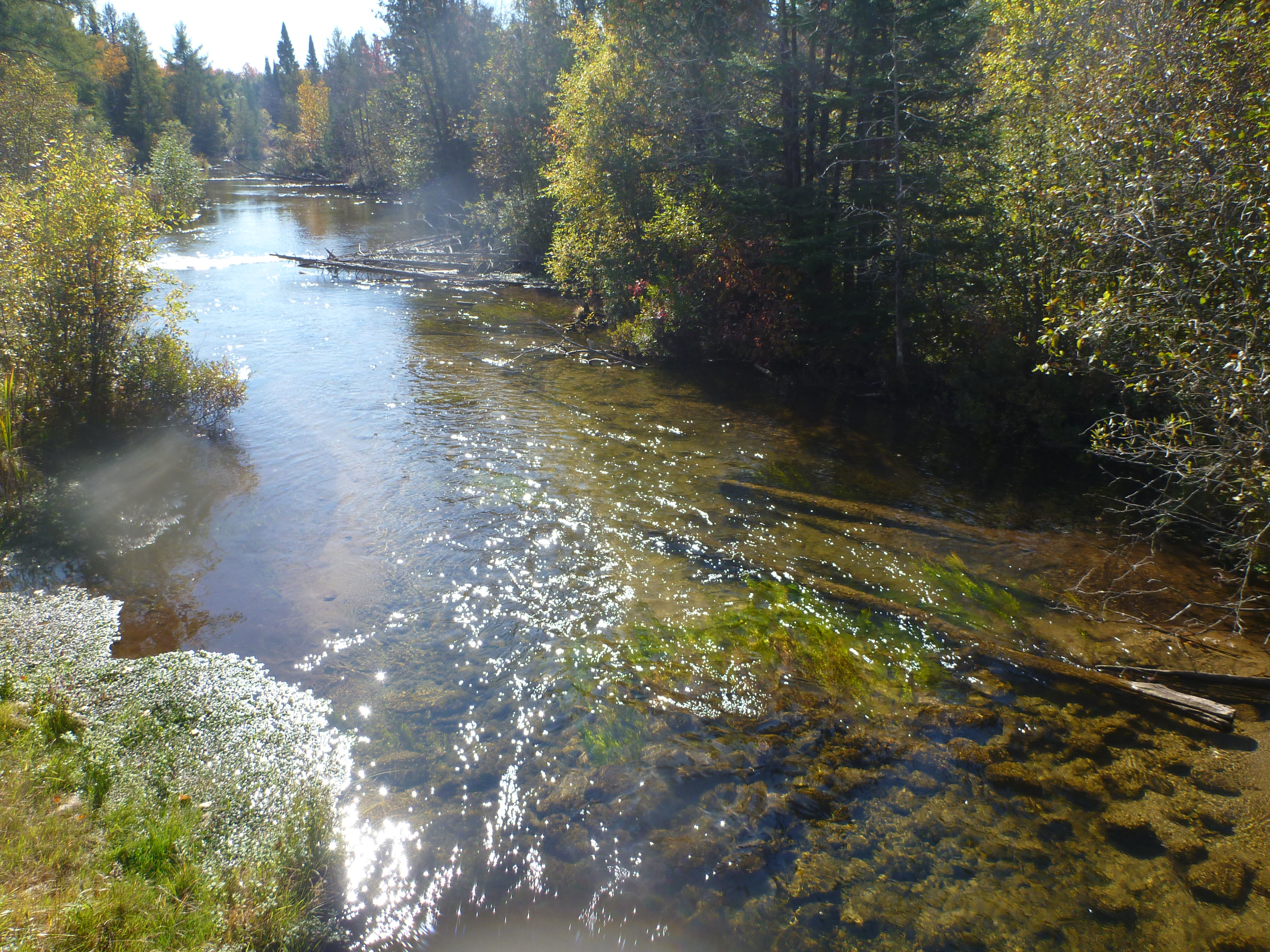
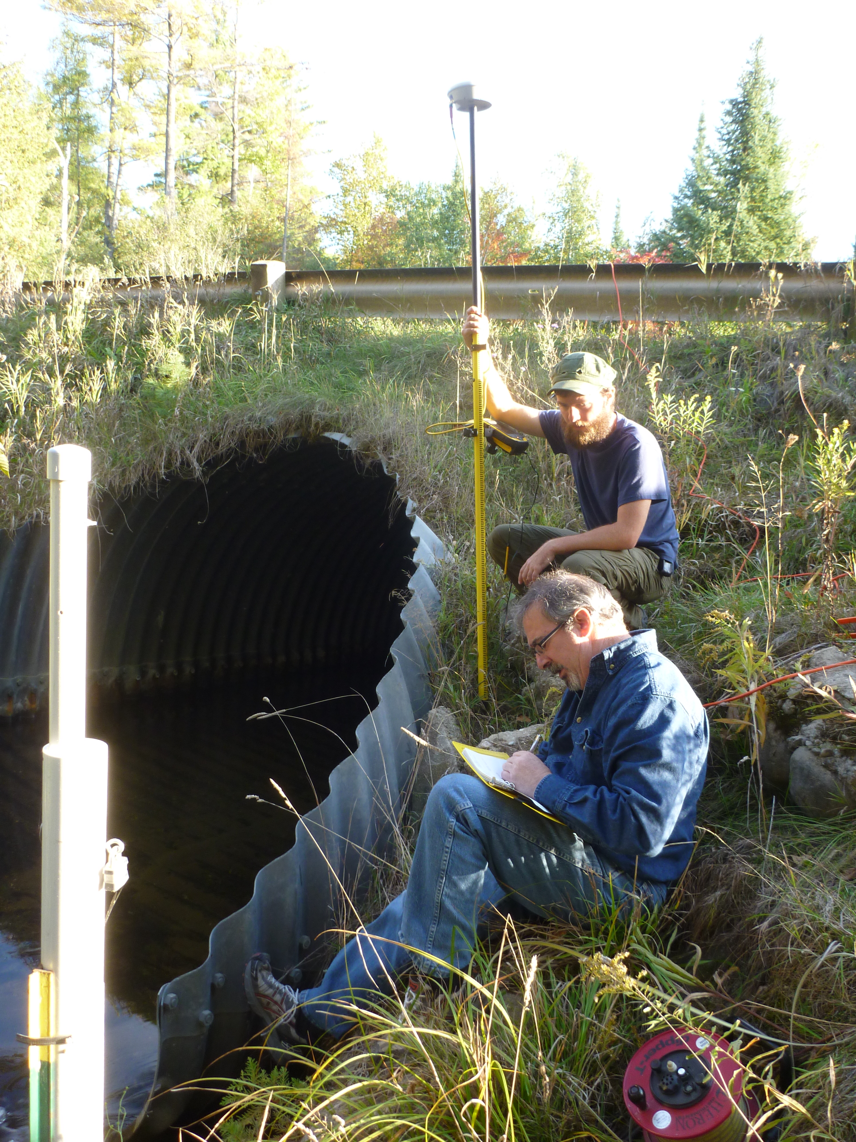
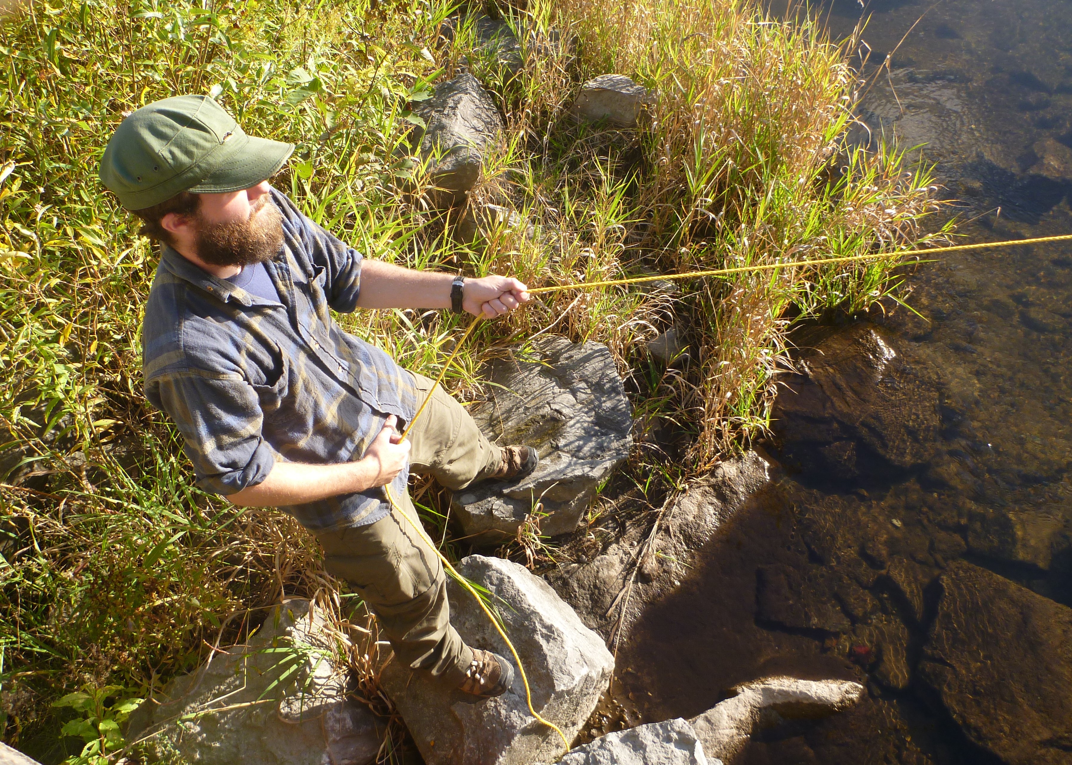
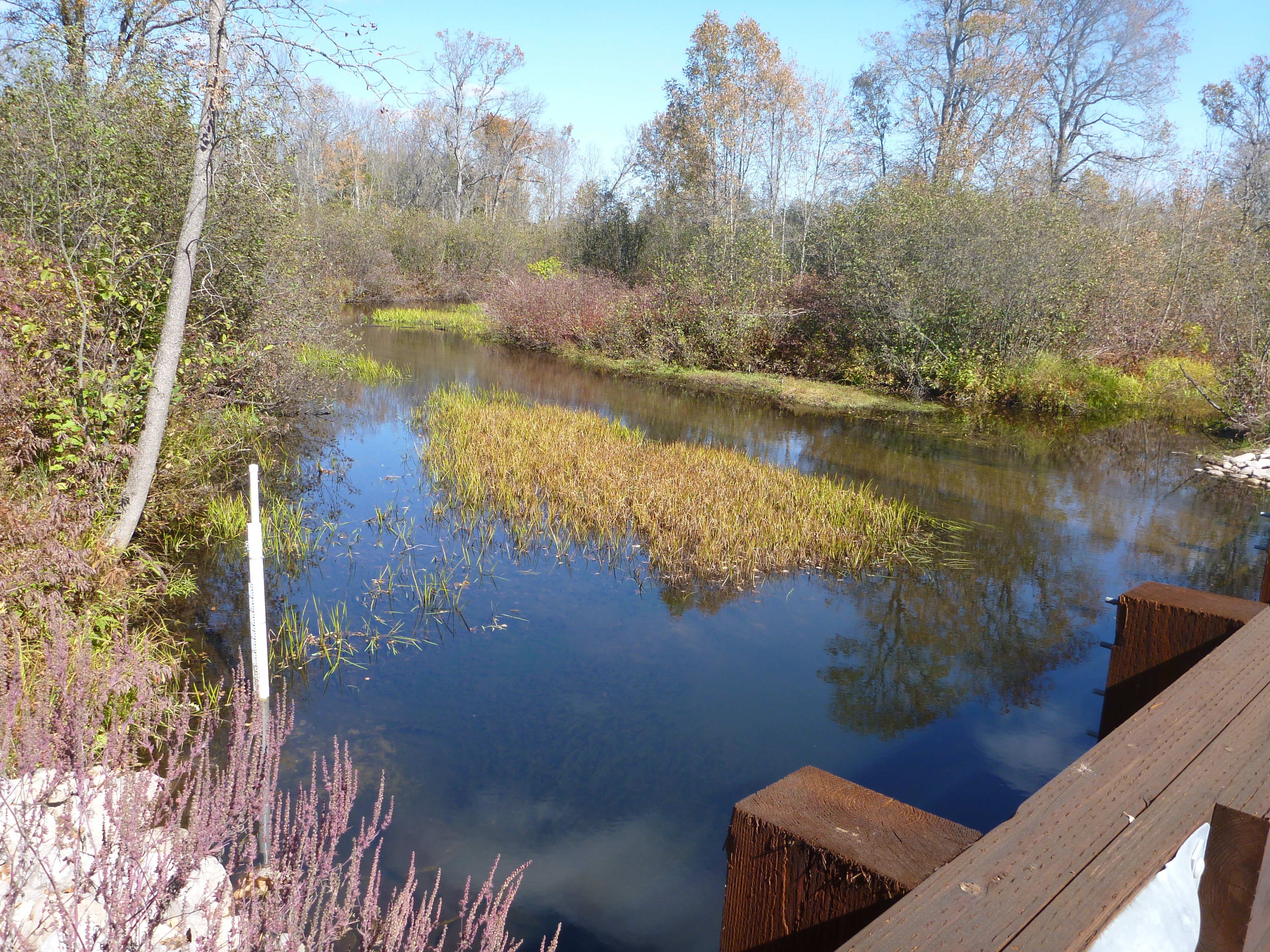
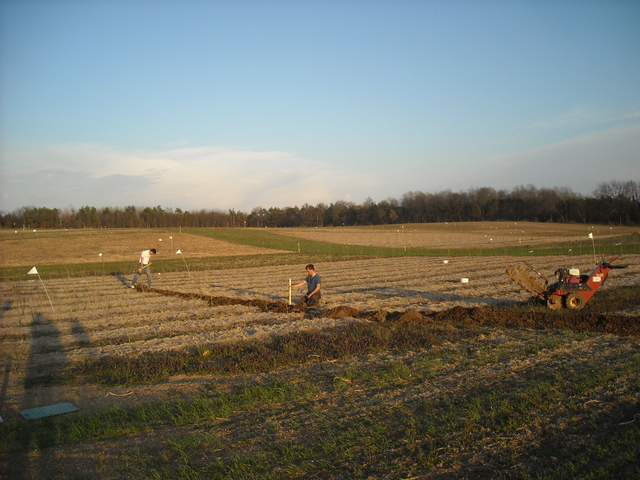
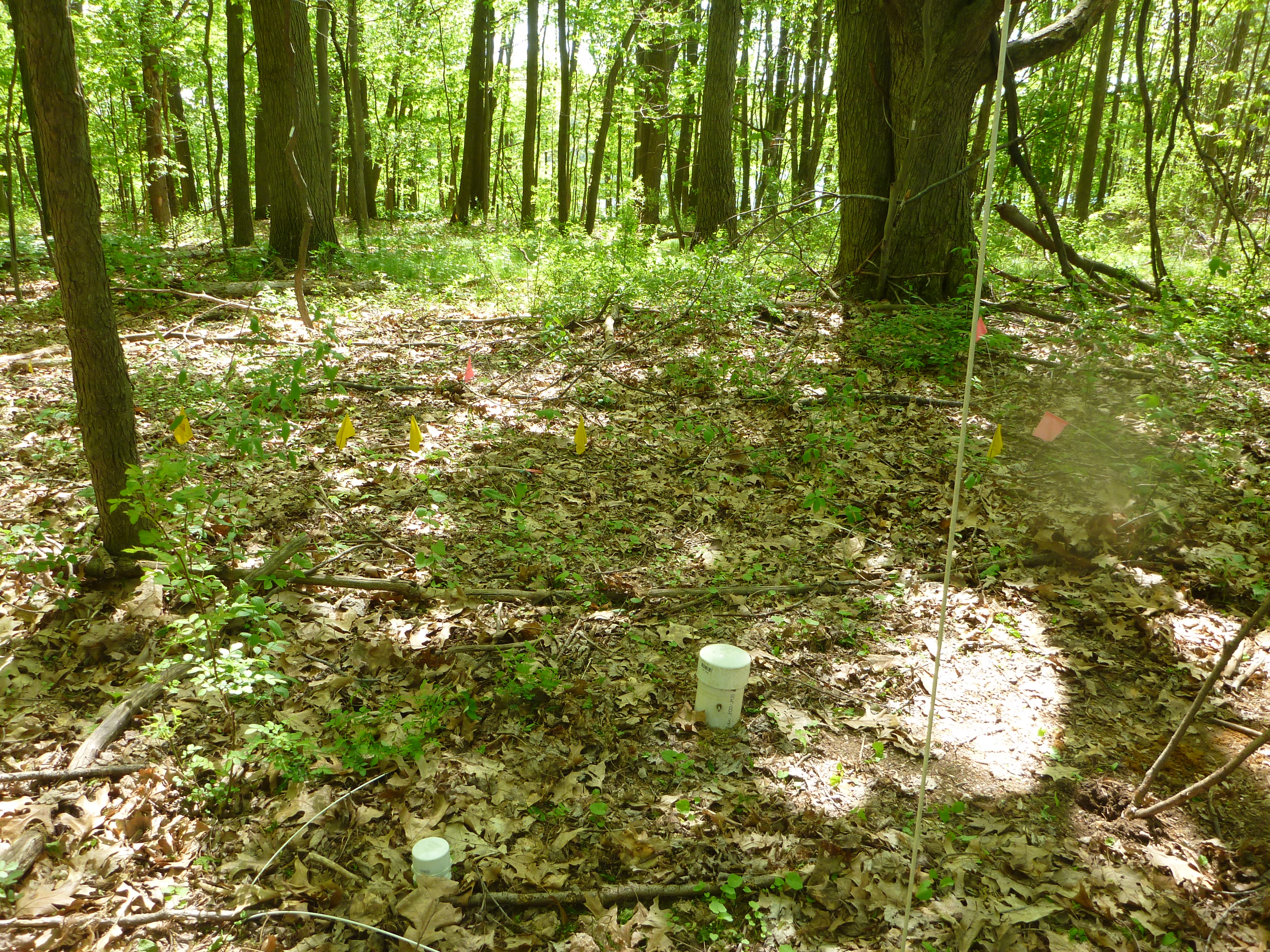
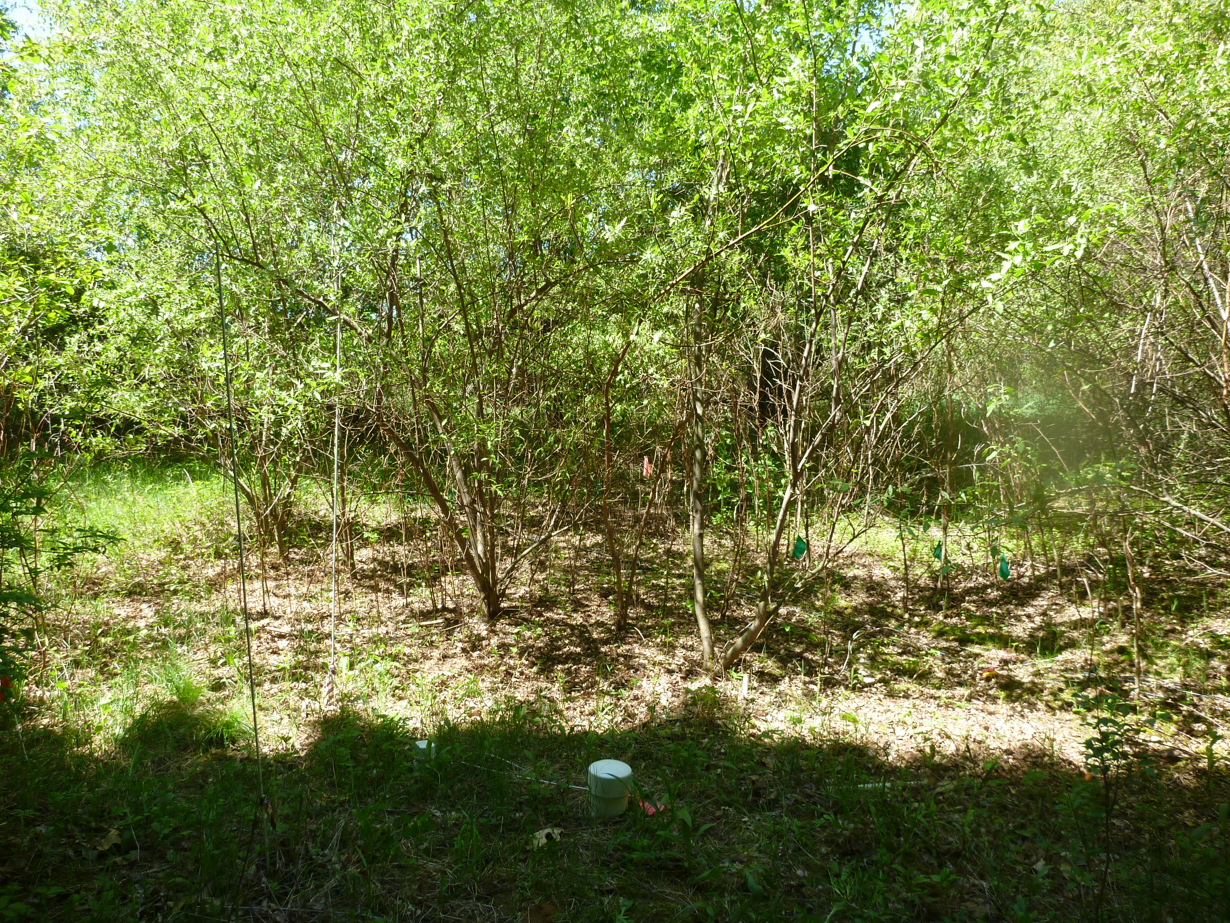
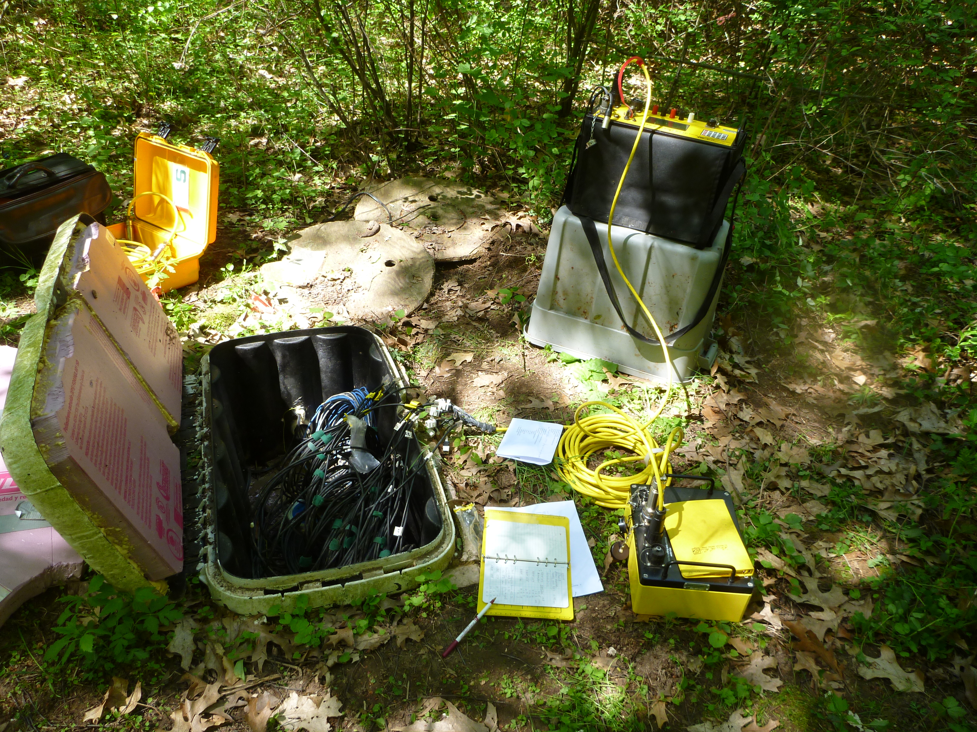
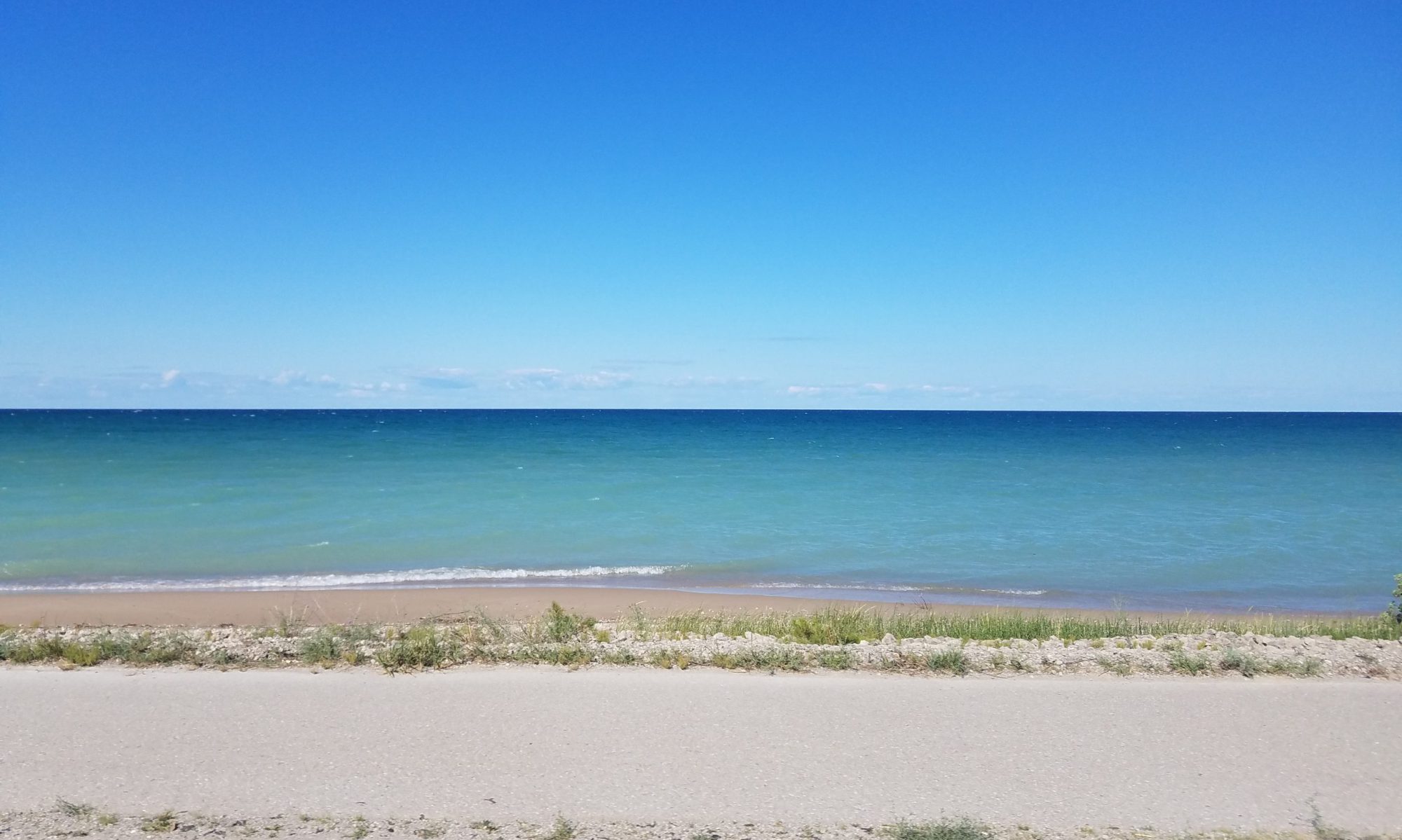
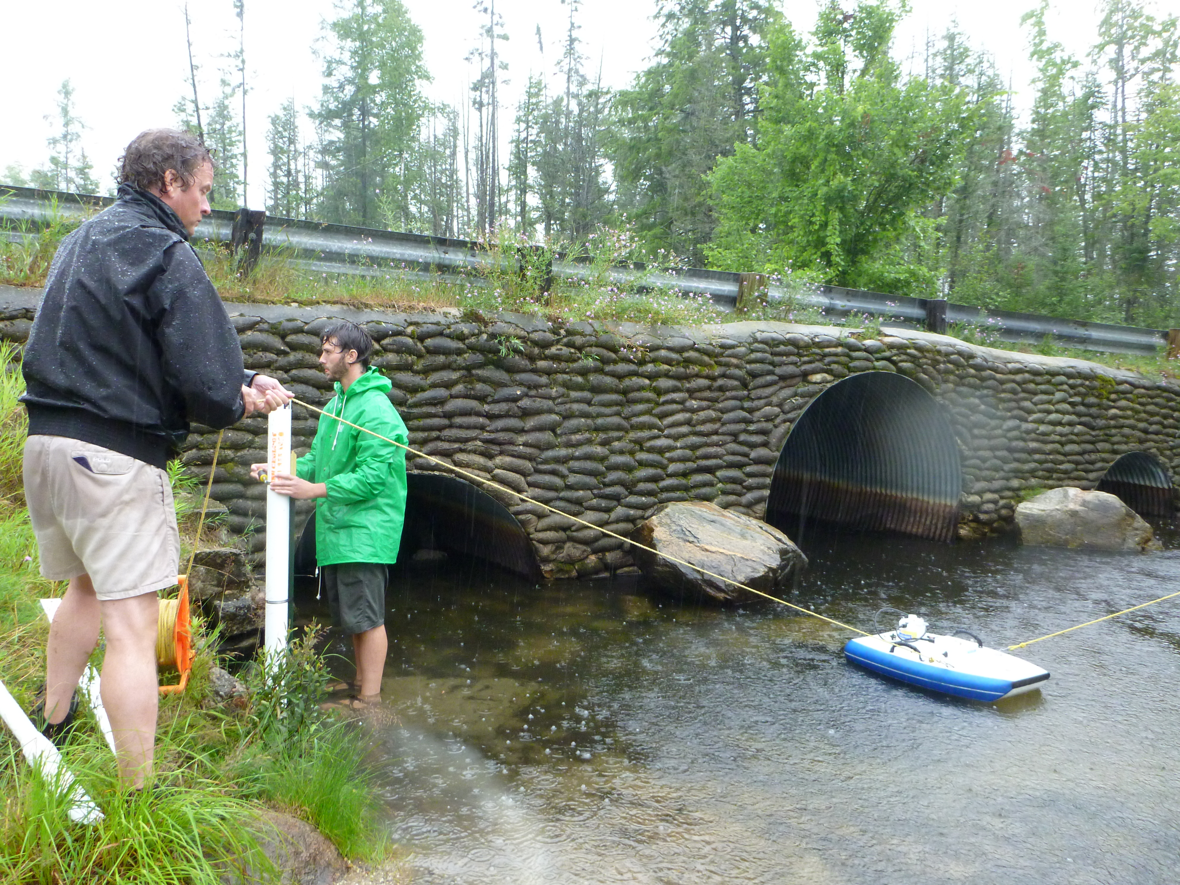
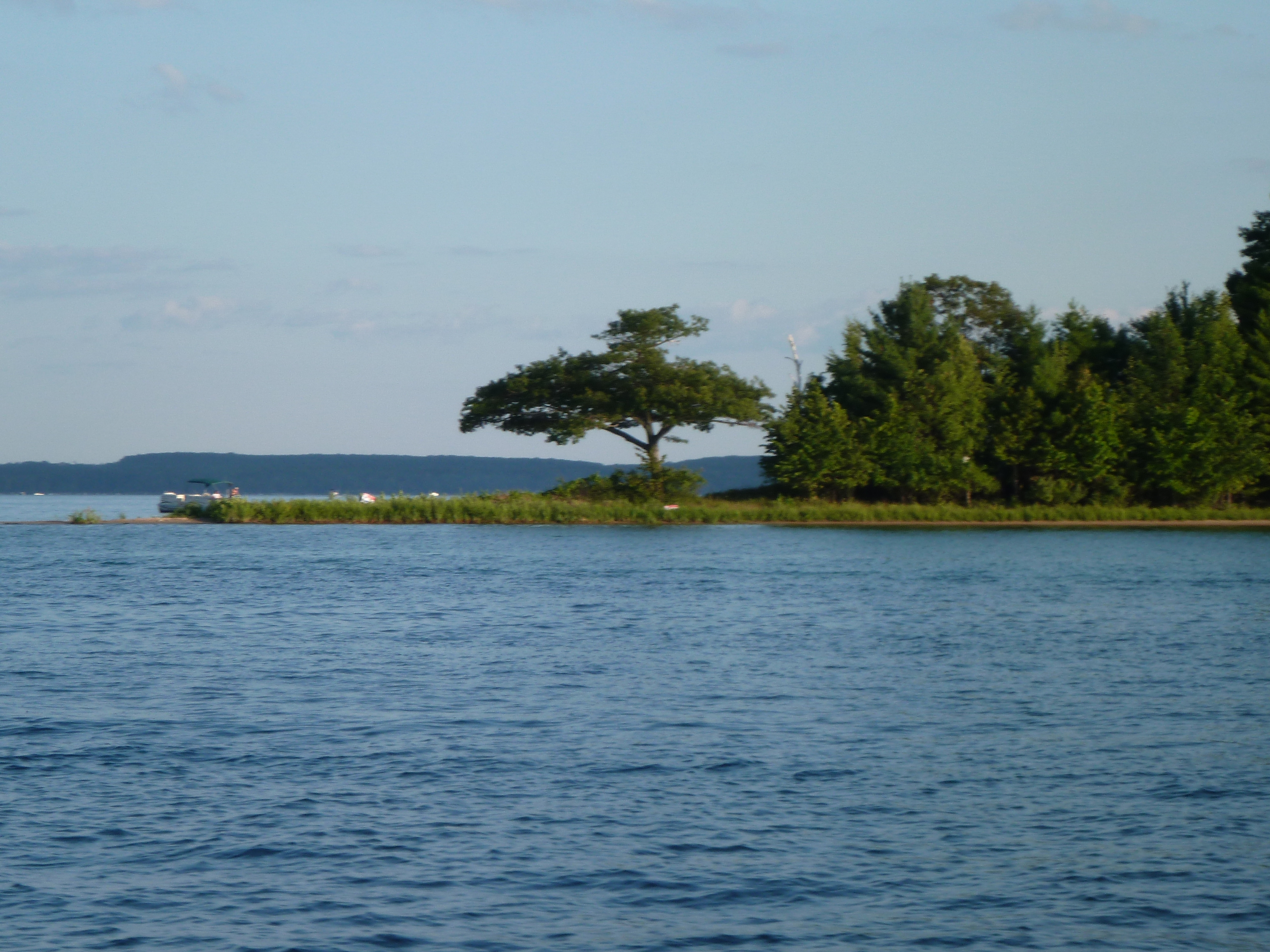
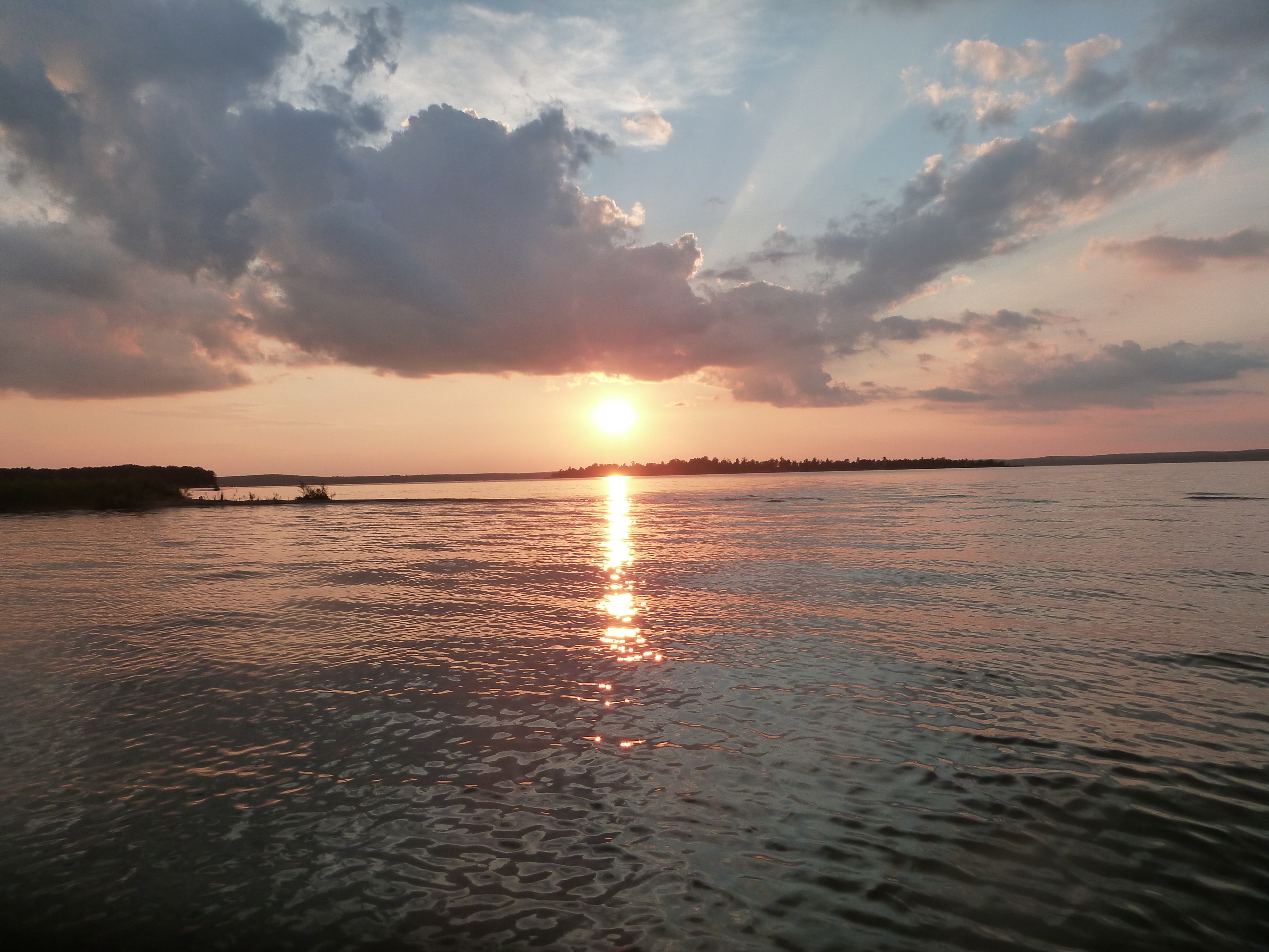
Higgins Lake is at the headwaters of a system of rivers and lakes in the heart of the Lower Peninsula of Michigan. Residents and users of the Higgins Lake and Cut River system are keenly aware of the value of their resources, and are concerned about protecting the water quality, ecological integrity, and recreational use of the Higgins Lake and Cut River. Researchers at MSU and UM are investigating the sensitivity of the lake to future change, in an attempt to limit future negative impacts to homeowners and others who rely on the lake for its recreational opportunities and natural beauty.

We would like to thank the Michigan State Department of Natural Resources and the Higgins Lake Foundation for their support of our work in the Higgins Lake and Cut River system.

Sediment Loading in the Jordan River Watershed

The MSU Hydrogeology Lab has been conducting research in the Jordan River Watershed since 2006. The objective has been to understand the causes and possible solutions to sand accumulation on what had been considered previously to be a primarily gravel-bed stream. The sand is believed to be negatively impacting the fishery of the Jordan River, possibly reducing populations of brown and brook trout in one of Lower Michigan’s premier cold water streams. The work has been funded by the Friends of the Jordan River.

During the course of our research, the Lab has installed a network of stream gauging stations to continuously monitor stream flow and temperature, conducted extensive channel surveys for sediment and flow modeling, surveyed the stream channel with a variety of sophisticated instruments including an Acoustic Doppler Current Profiler (ADCP), survey-grade Global Positioning System (GPS), and both floating and land-based Ground Penetrating Radar (GPR).

Continue reading “Sediment Loading in the Jordan River Watershed”

Au Sable and Manistee River Watersheds

The Au Sable and Manistee River Watersheds span the breadth of Michigan’s Lower Peninsula. Both watersheds contain areas that are vital to the agricultural and economic productivity of Michigan, as well as some of the best recreational opportunities that the Lower Peninsula has to offer. MSU has created a monitoring program in this area in order to better understand the complex feedbacks that occur in such a system, and to provide a baseline that can be used to understand the impact of future changes to the land and water resources in the watersheds.

Great Lakes Bioenergy Research Center

This site includes a series of geophysical arrays situated on 10 experimental field plots. Through a collaboration with MSU’s US Department of Energy funded GLBRC located at Kellogg Biological Station, we have been able to monitor how the resistivity signature in the near-surface changes over time. Data derived from these surveys gives us the ability to model the impact that large scale land-use change in the Great Lakes Basin will have on the hydrologic cycle.

Projects:

Multi-scale Monitoring and Modeling of Land Use and Climate Change Impacts on the Terrestrial Hydrologic Cycle: Implications for the Great Lakes Basin

Kellogg Biological Station Transition Site

Located on Kellogg Biological Station property, our aptly named “transition” site spans an ecotone that progresses from mature forest to young forest, shrub, and grass over a distance of 200m. It has been permanently instrumented with an array of electrodes for electrical resistivity (ER) surveys, as well as temperature and soil moisture probes. This site was created as part of an effort to understand how land use change impacts soil moisture distribution in the near surface. It is closely related to two of our other active study sites, Sandhill and GLBRC.

We would like to to thank the National Science Foundation for funding this research.

Projects:

Multi-scale Monitoring and Modeling of Land Use and Climate Change Impacts on the Terrestrial Hydrologic Cycle: Implications for the Great Lakes Basin

Kaya Diker

Education

  • BS 2008, Istanbul Technical University, Geophysical Engineer

Recent Abstracts

  • van Dam R.L., Diker K., Bhardwaj A.K., Hamilton S.K., (2009),
    Spatial variability of near-surface soil moisture for bioenergy crops, at the Great Lakes Bioenergy Research Center, AGU Fall Meeting, San Francisco
  • Diker K., van Dam R.L., Bhardwaj A.K., Hamilton S.K., (2010), Electrical resistivity measurements at GLBRC: instrumentation, data collection, and processing, GLBRC Thrust 4 (Sustainability) Retreat, Hickory Corners
  • Bhardwaj A.K., Hamilton S.K., van Dam R.L., Diker K., Basso B., (2010)
    Root zone soil water dynamics and its effects on above ground biomass in cellulosic and grain based bioenergy crops of Midwest USA, AGU Fall Meeting, San Francisco

Brian Eustice

Research Interests
My current interests are in applied geophysics and hydrogeophysics and their environmental applications. My master’s thesis research focuses on using electrical resistivity tomography to study the transient nature of natural free convection in a sabkha in the United Arab Emirates.

Education
BS 2009, Western Michigan University, Geology

Recent Abstracts

Eustice, BP, DW Hyndman, RL Van Dam, WW Wood, (2010), Modeling and Electrical Imaging of Natural Free Convection Induced by Saline Recharge in a Coastal Sabkha, AGU Fall Meeting, San Francisco

Anthony Kendall defended his PhD

Congratulations to Dr. Kendall who defended his dissertation Predicting the Impacts of Land Use and Climate on Regional-Scale Hydrologic Fluxes.

Dr. Kendall has begun an appointment as a postdoctoral researcher in the Hydrogeology Lab.

Modeling and Monitoring Hydrologic Processes in Large Watersheds

We have developed a novel hydrologic process model called the Integrated Landscape Hydrology Model (ILHM), which is a framework of existing and novel codes to simulate the entire hydrologic cycle at large watershed scales. ILHM is capable of modeling all the major surface and near-surface hydrologic processes including evapotranspiration, groundwater recharge, and stream discharge. In the first published application of the model, the ILHM-modeled stream flows compared favorably with measured data with a minimum of parameter calibration. It was tested for a small watershed (~130 square kilometers) in Michigan, and is currently being applied to much larger domains. Continue reading “Modeling and Monitoring Hydrologic Processes in Large Watersheds”