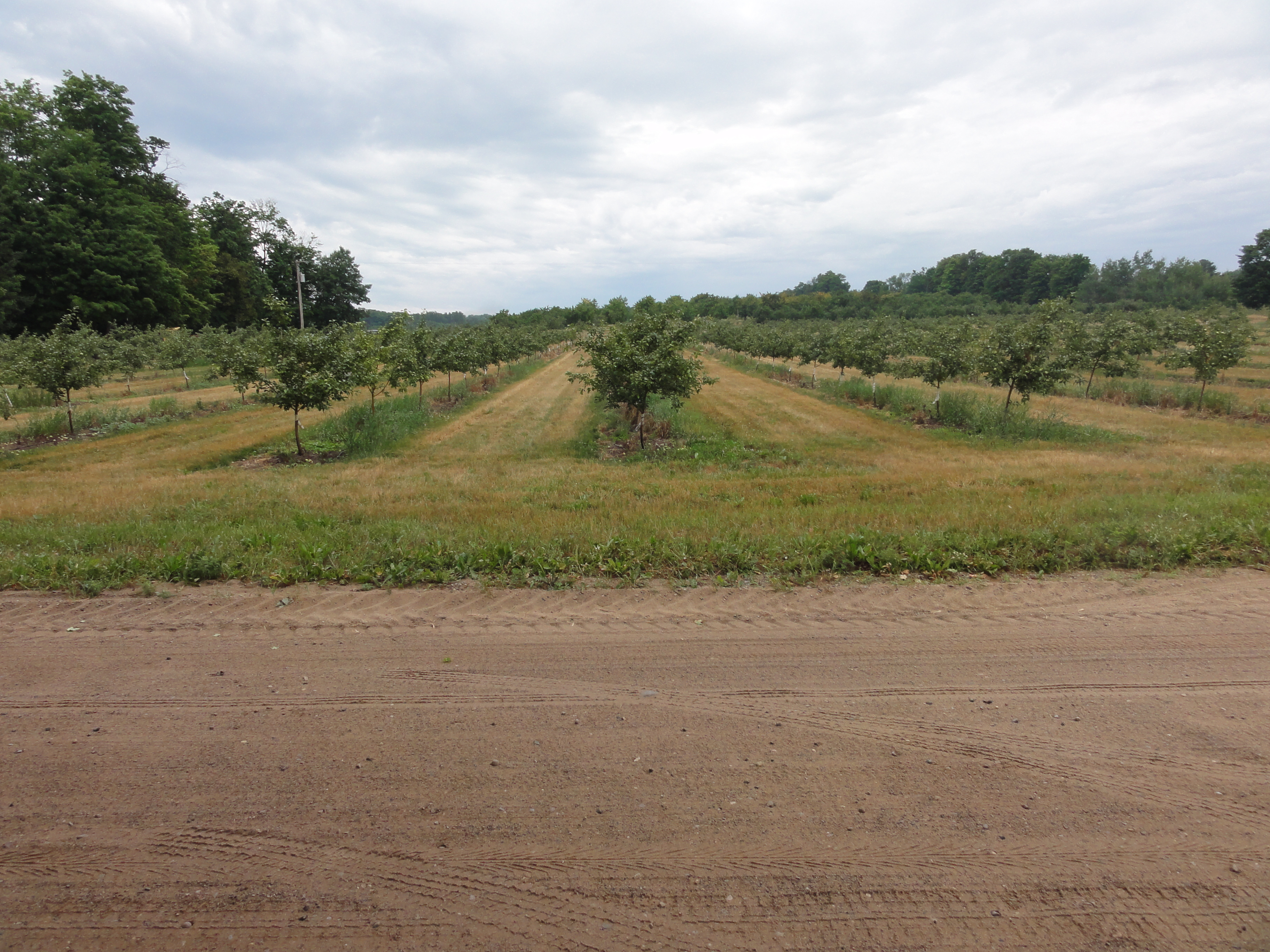
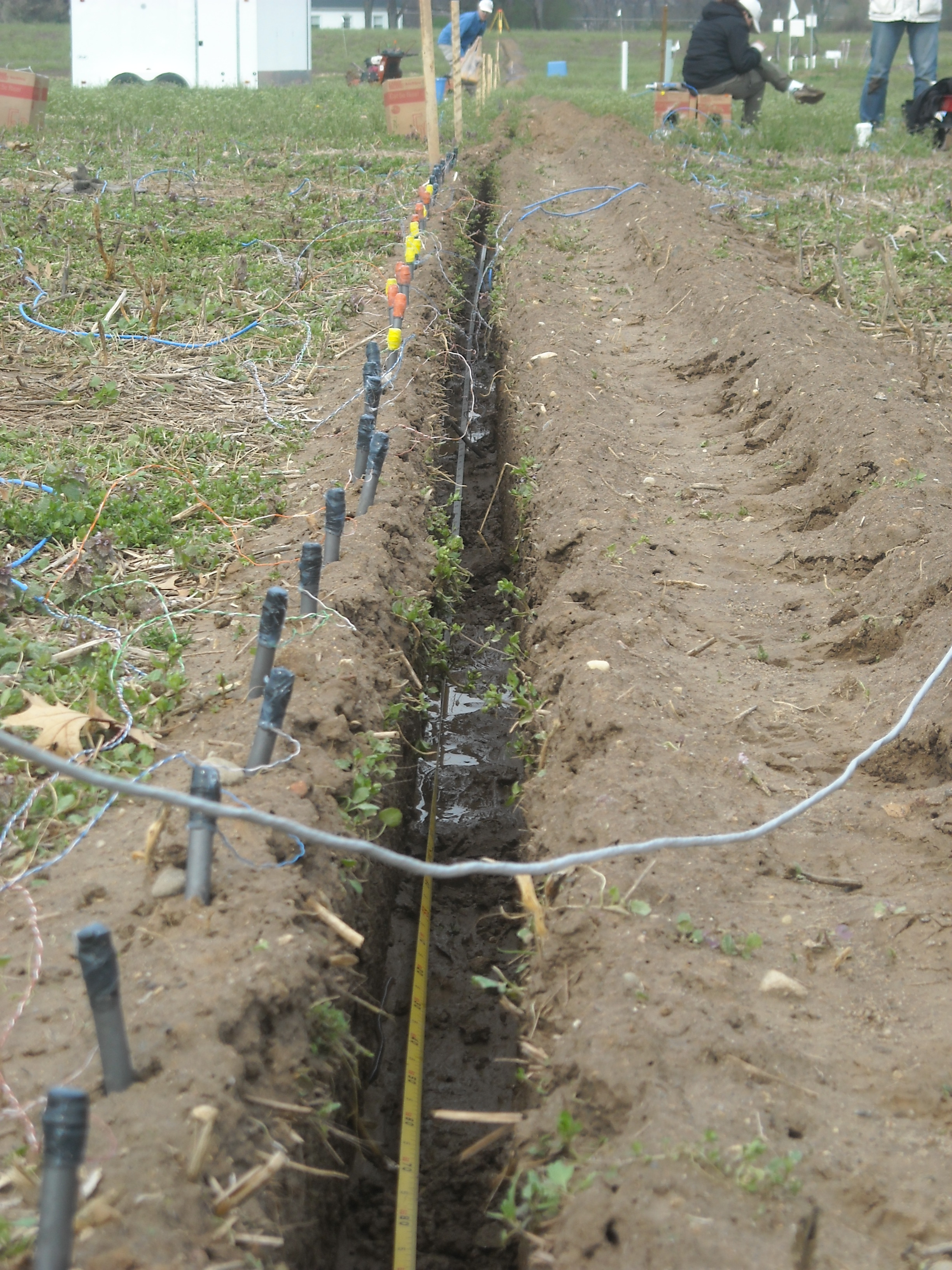
 Recent extreme weather events provide insight into future challenges for agricultural systems across parts of the US due to increasing climate variability. Growing irrigation demand, significant declines in groundwater levels across the High Plains, and inefficient use of fertilizers leading to nitrate leaching, N2O emission, and pollution of surface water are threats to the U.S. corn-soybean-wheat systems and the industries and ecosystems that depend on them. We are: i) developing and improving management strategies for a water-, nutrient-, and climate-smart agriculture; ii) creating and disseminating decision-support tools to help farmers use “Big Data” (e.g., yield maps and UAV sensors) to adapt to climate variability and increase their resiliency; iii) evaluating the economics of smart agriculture technologies and practices.
Our research integrates and experimentally tests a novel suite of biophysical and socioeconomic systems models to quantify interactions between climate, hydrology, and socioeconomic drivers of agricultural practices across the Upper Midwest and High Plains regions. Research, education, and extension activities in this project are providing accurate information for practical use by the general public, students, farmers, and decision makers to enable sustainable adaptation to and mitigation of temperature extremes, drought, and flooding. We are improving and deploying crop system models to evaluate a wide range of management options to optimize crop productivity while reducing water, N, and C footprints across spatial scales under a changing climate.
This work is being conducted in collaboration with Project Lead Investigator Bruno Basso.
Supported By
![]()

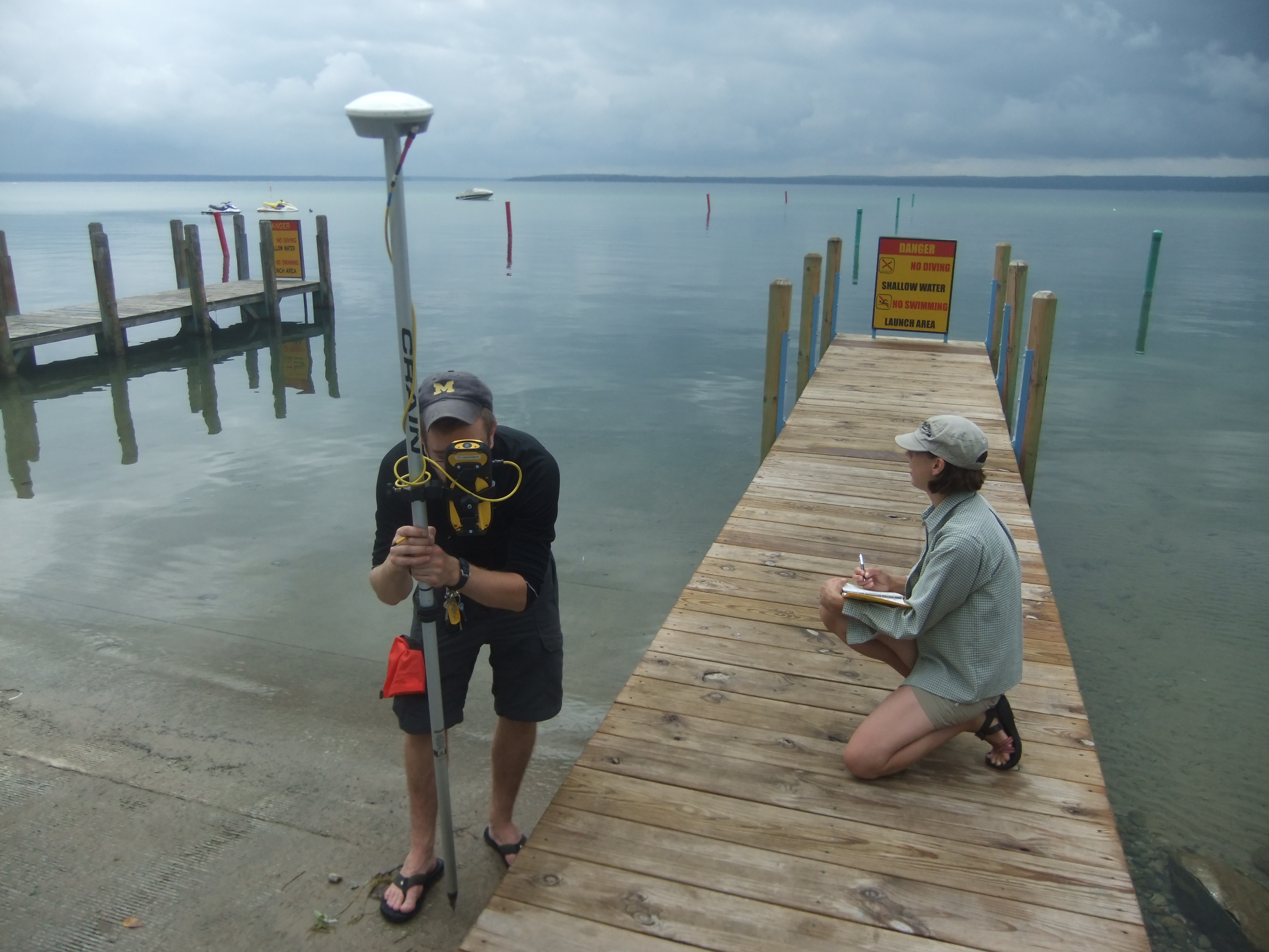
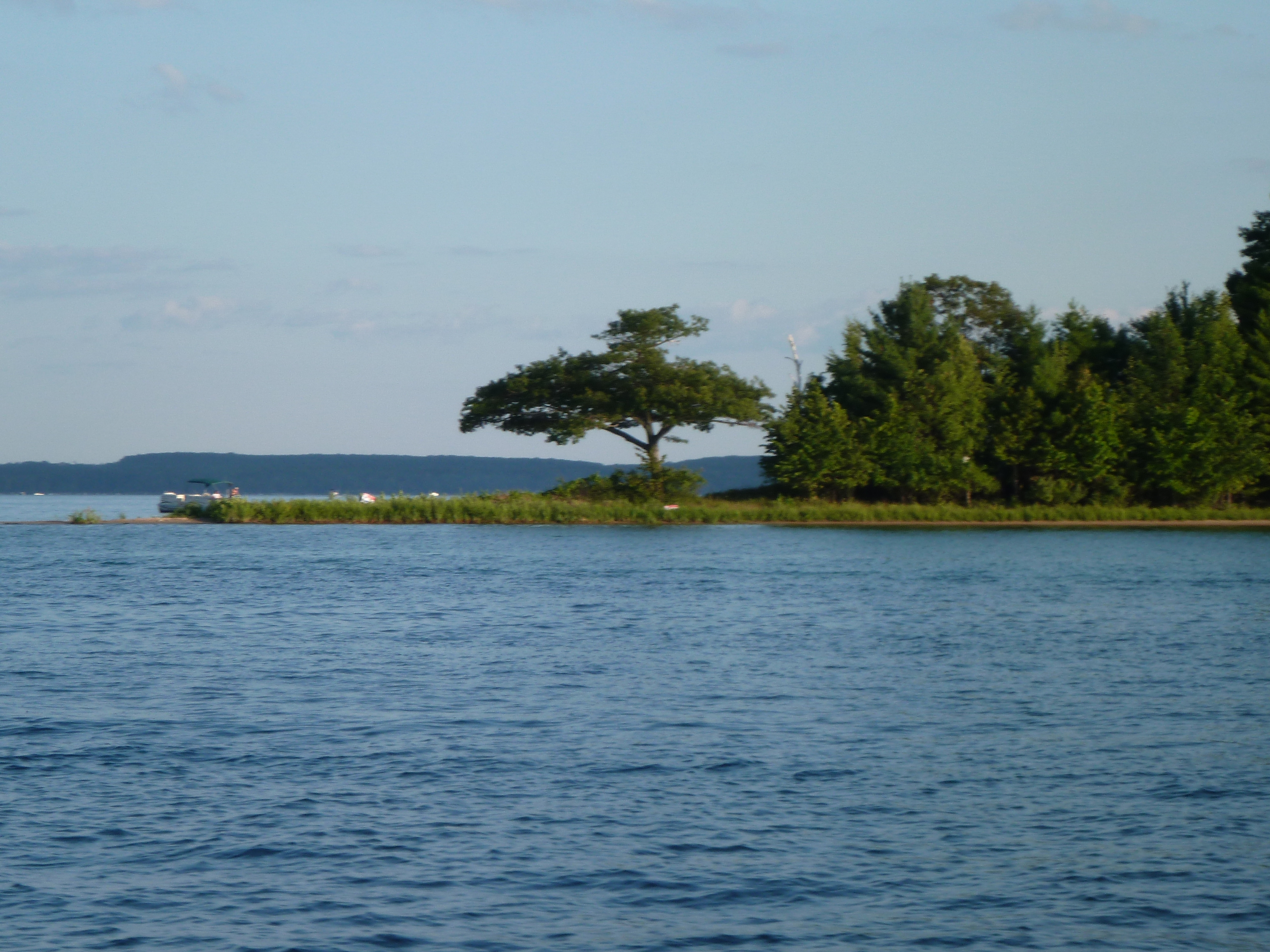
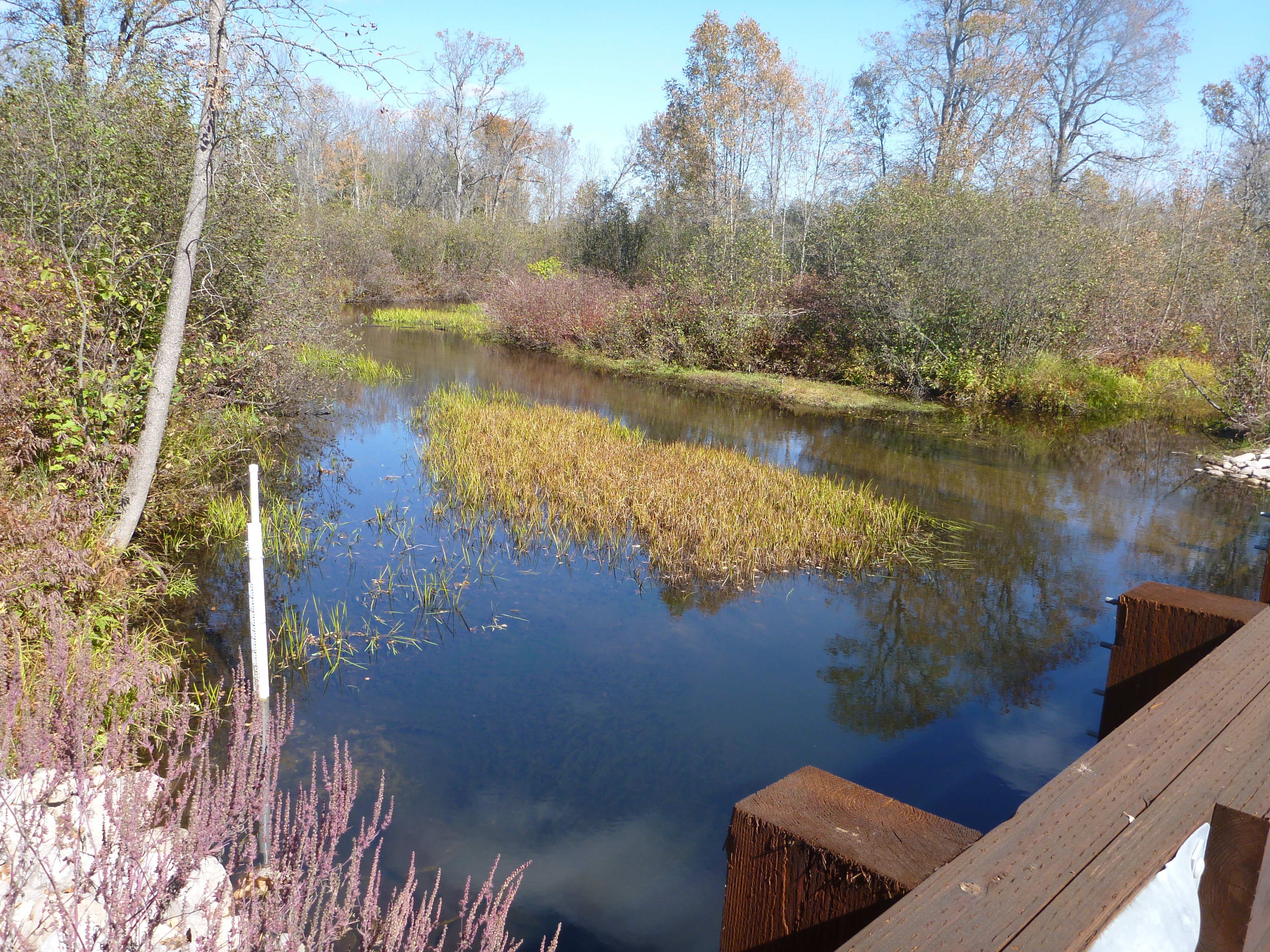
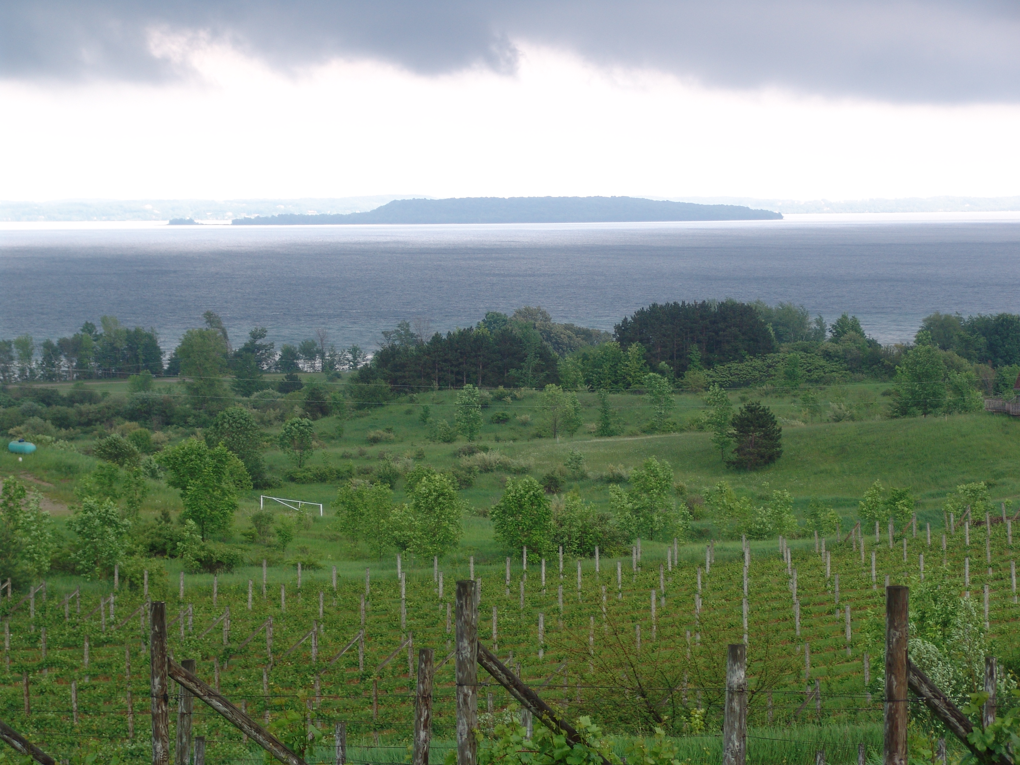
Higgins Lake is Michigan’s 10th largest inland lake, and one of its deepest. Despite its long history of clean water, Higgins Lake is experiencing changes in water quality, underwater vegetation, invasive species, and Swimmer’s Itch. Many of these changes impact the shallow region near shore, in the area called the shelf. The current water quality monitoring program focuses on the deeper areas of Higgins Lake. These measurements are not always the same in the shallower regions of the lake.
The area surrounding Higgins Lake includes two state parks, >1300 riparian landowners and thousands of residents in the surrounding townships. In 1996, a USGS study of Higgins Lake reported a link between residential density and lower water quality due to nutrient contamination. The majority of the shoreline of Higgins Lake is populated by septic-served homes. These septic systems may act as a major source of near-shore nutrient contamination, especially during high occupancy times, such as summer.

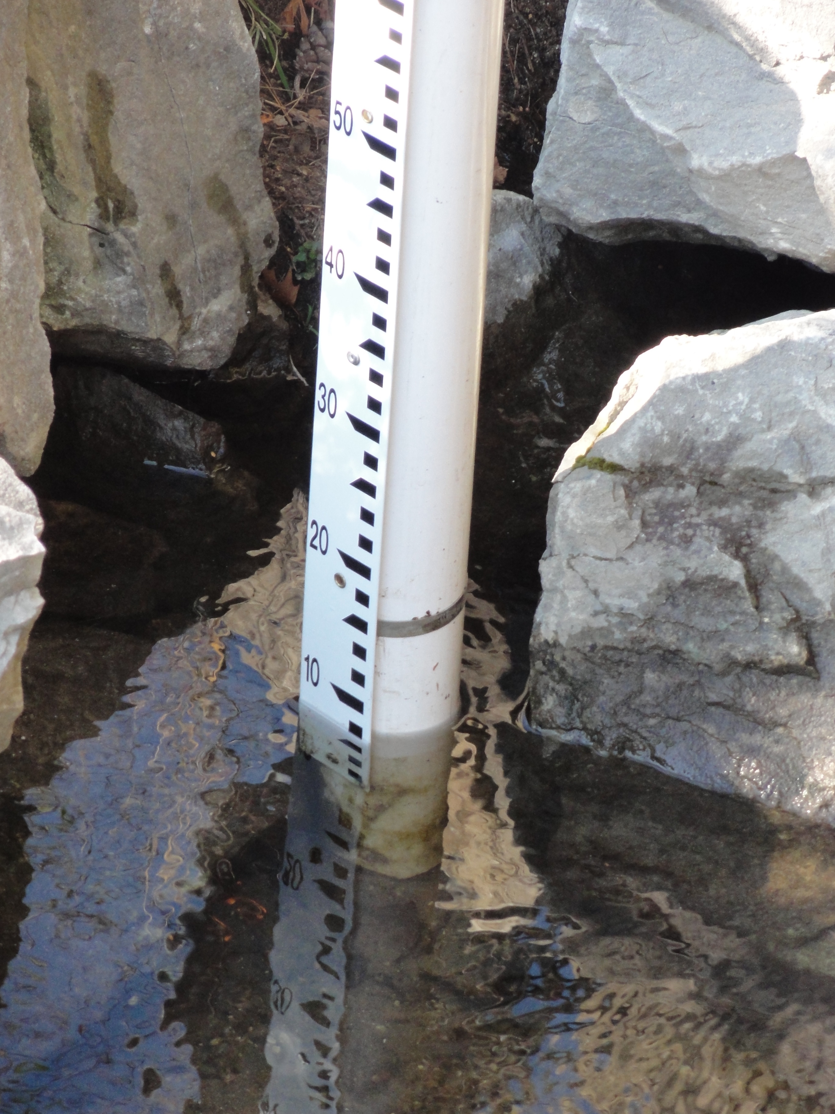
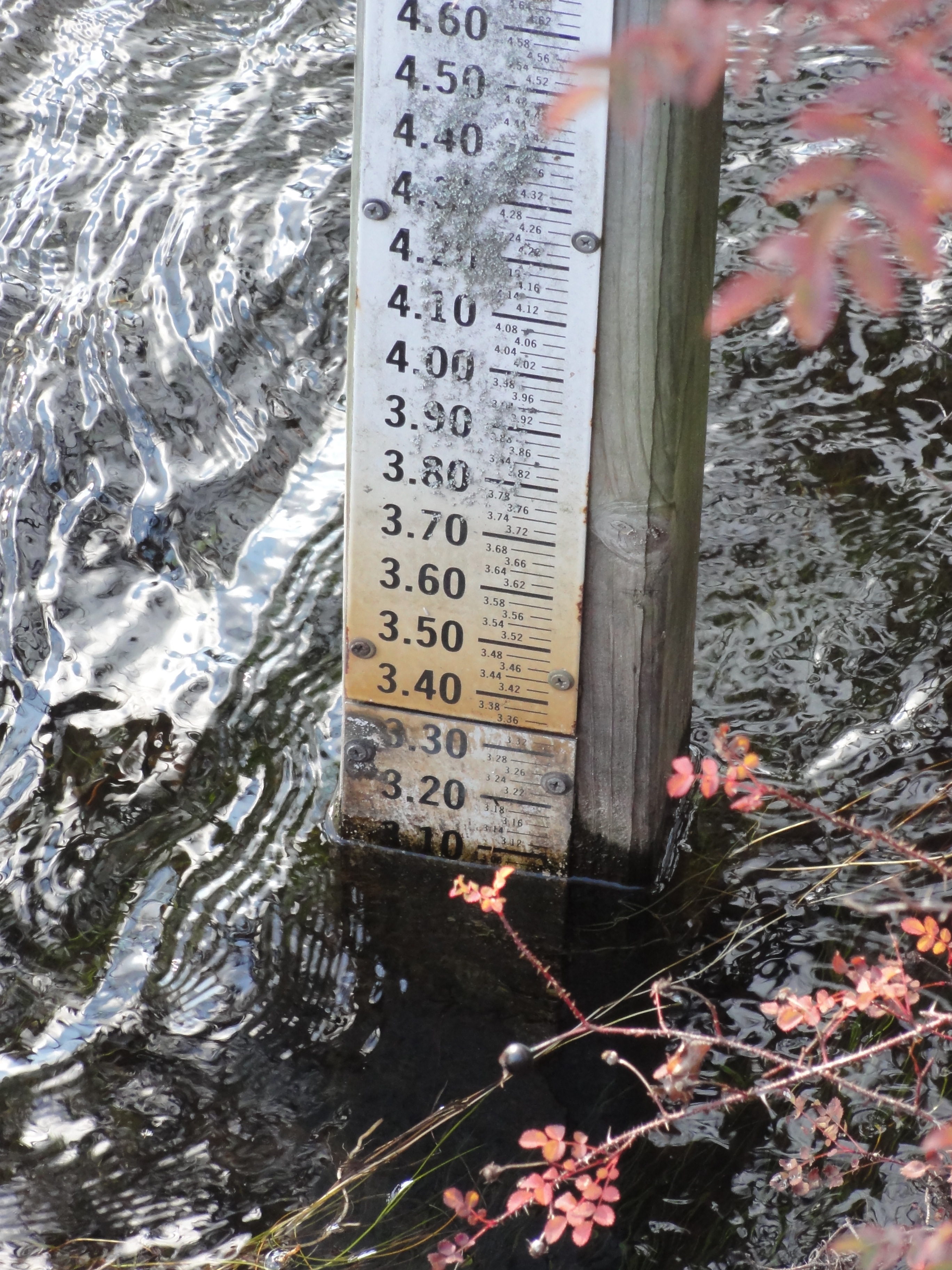
The water quality of Higgins Lake is routinely measured by volunteers from the Cooperative Lakes Monitoring Program. However, these measurements are taken in the deepest sections of the lake and do not accurately represent the shallow shelf area. Measurements from the North Basin usually display relatively low nutrients levels (about 10ug/L Total Phosphorus). However, nutrient levels in the near-shore area of the lake are significantly higher (image). According to the Trophic State Index, the shelf water is hypereutrophic (excessively high nutrients).
This study looks at the linkages between septic systems and near-shore water quality. One hypothesis is that areas of higher nutrient levels may result in hot spots for snails (an intermediate host for Swimmer’s Itch parasites, family Schistosomatidae) and may, thus, increase the risk of Swimmer’s Itch in those areas. The work includes collecting water quality samples in the near-shore area around Higgins Lake and characterizing the location of septic-served households using remote sensing, high-resolution sampling and chemical markers. The study will: 1) provide a 20-year follow-on to portions of a 1996 USGS report studying the water quality of Higgins Lake with regard to residential development, 2) establish a baseline of concentrations of so-called emerging contaminants and non-traditional chemical fingerprints (for instance caffeine, triclosan, and estrogen), 3) identify hot-spots of septic system contamination and inputs, and 4) link these inputs to recreational and human health concerns.
]]>
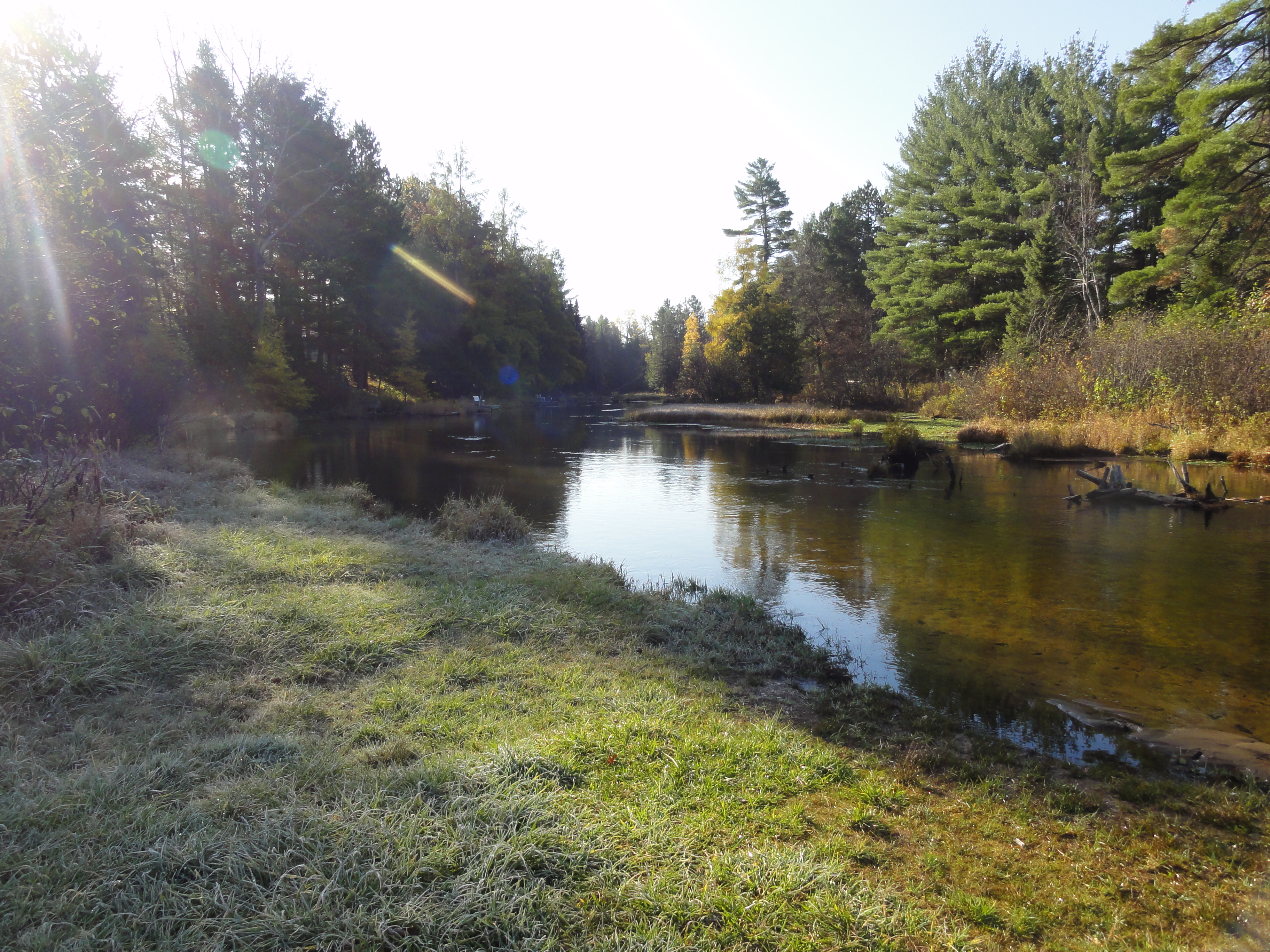
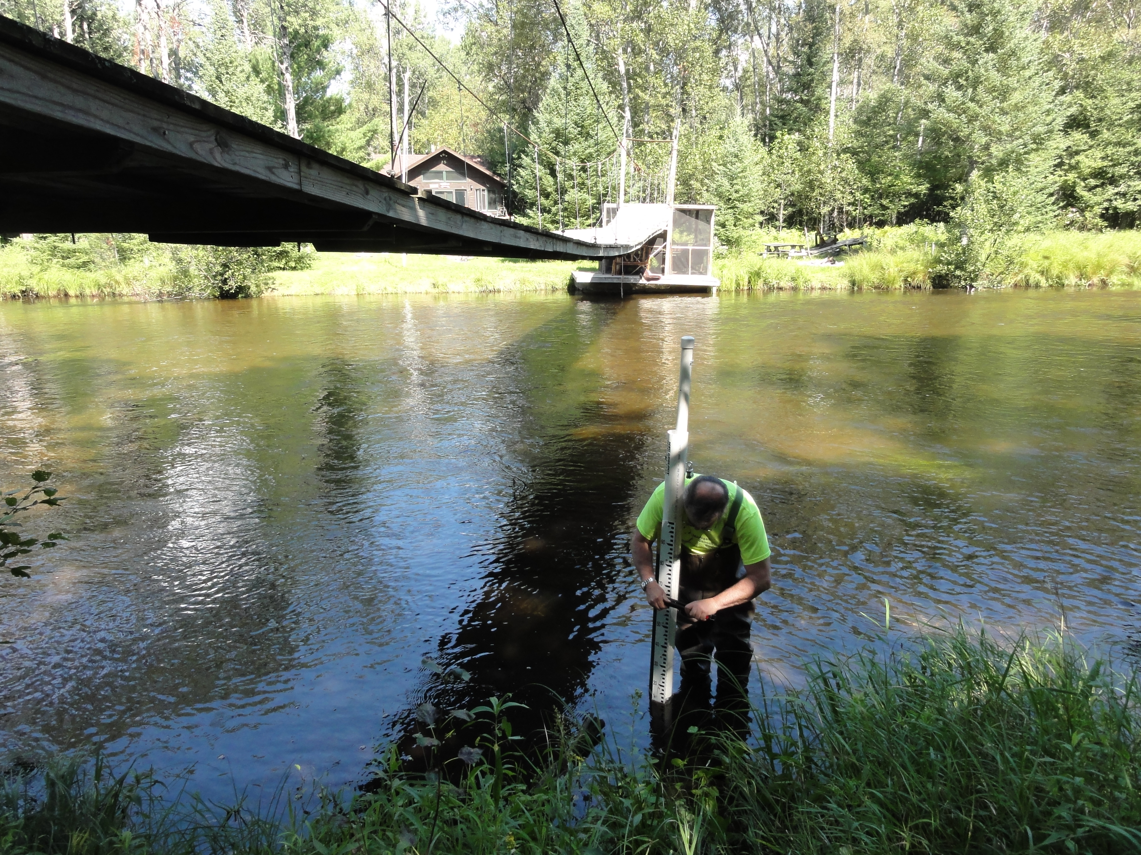
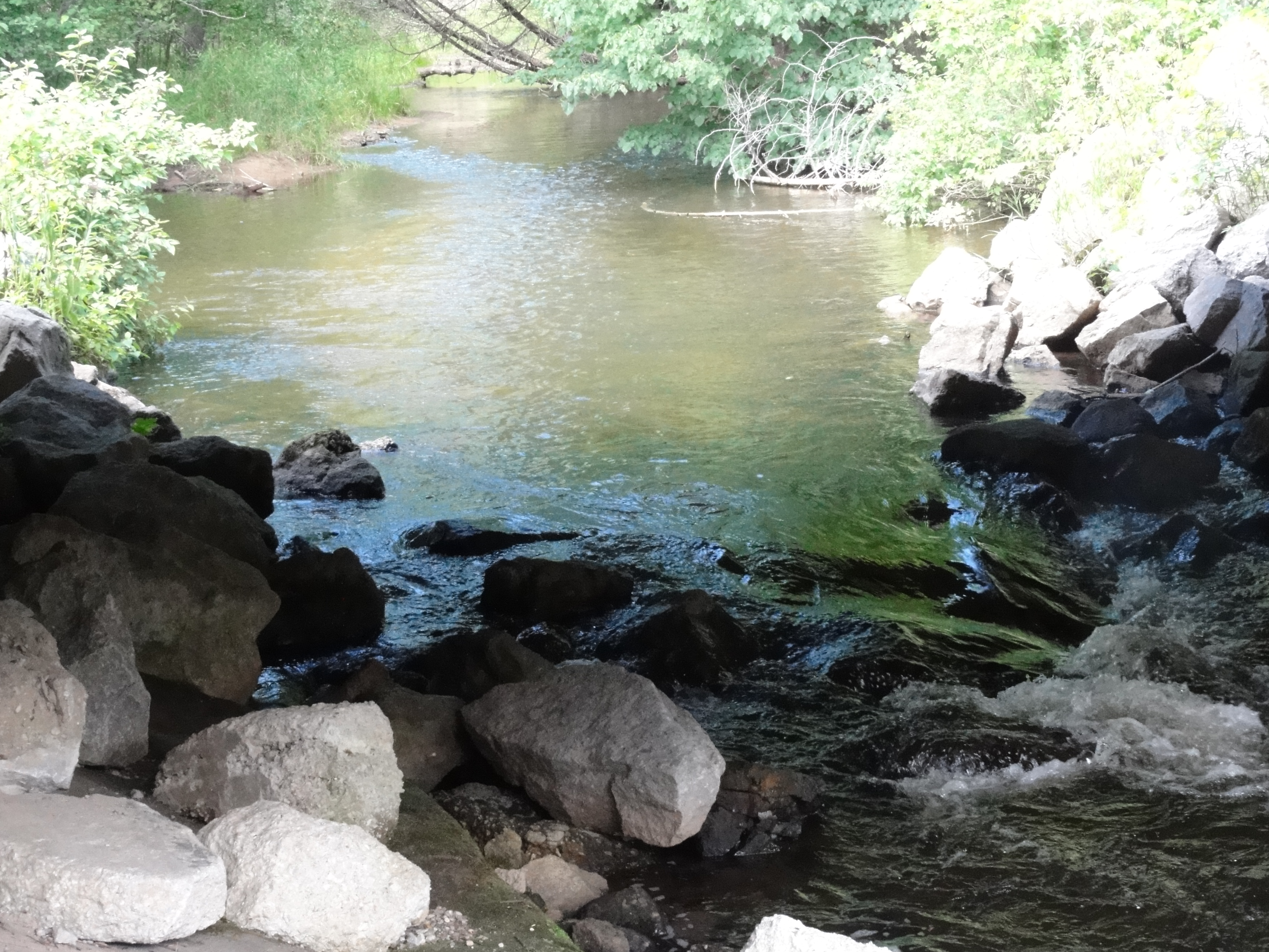
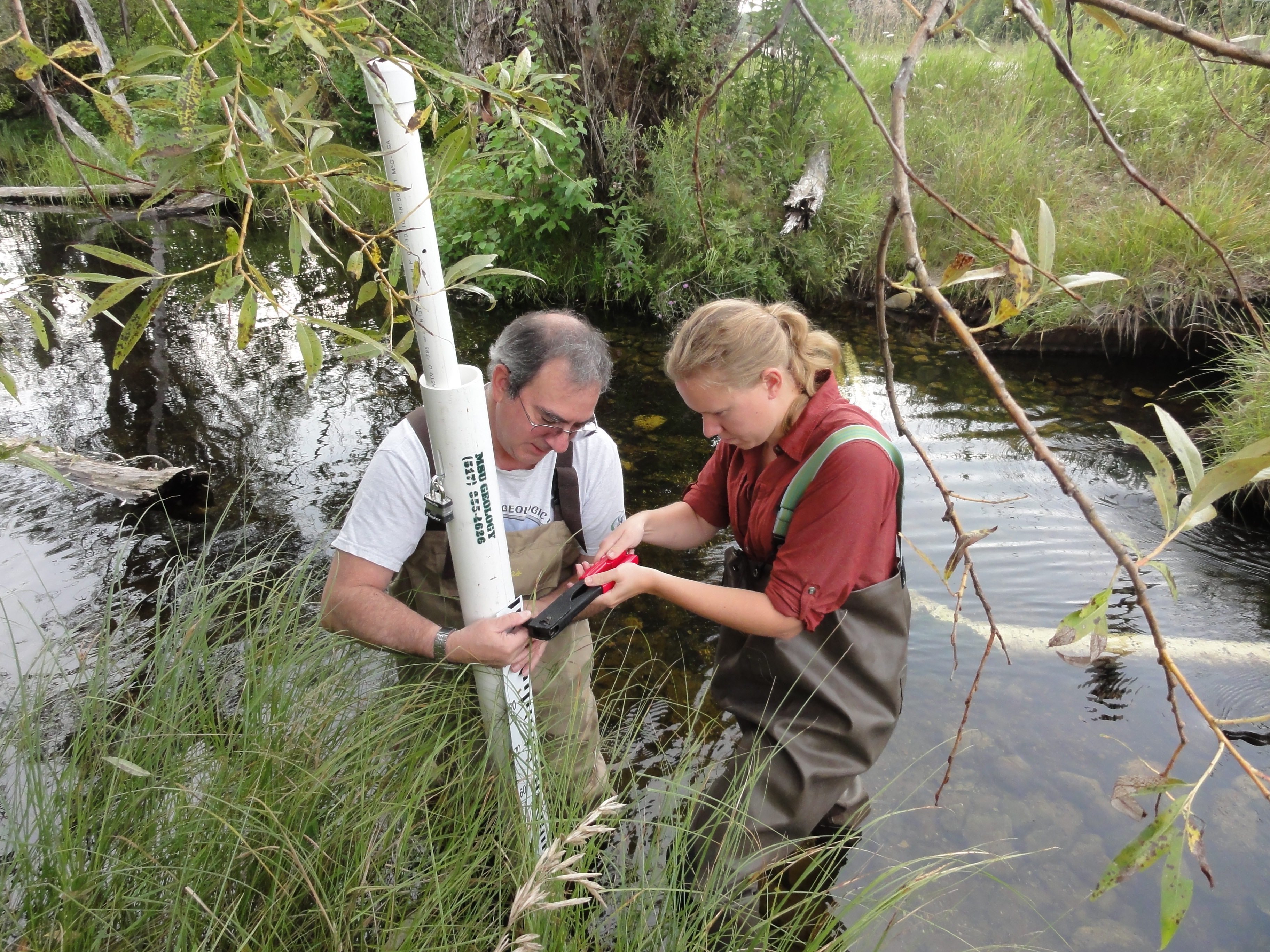
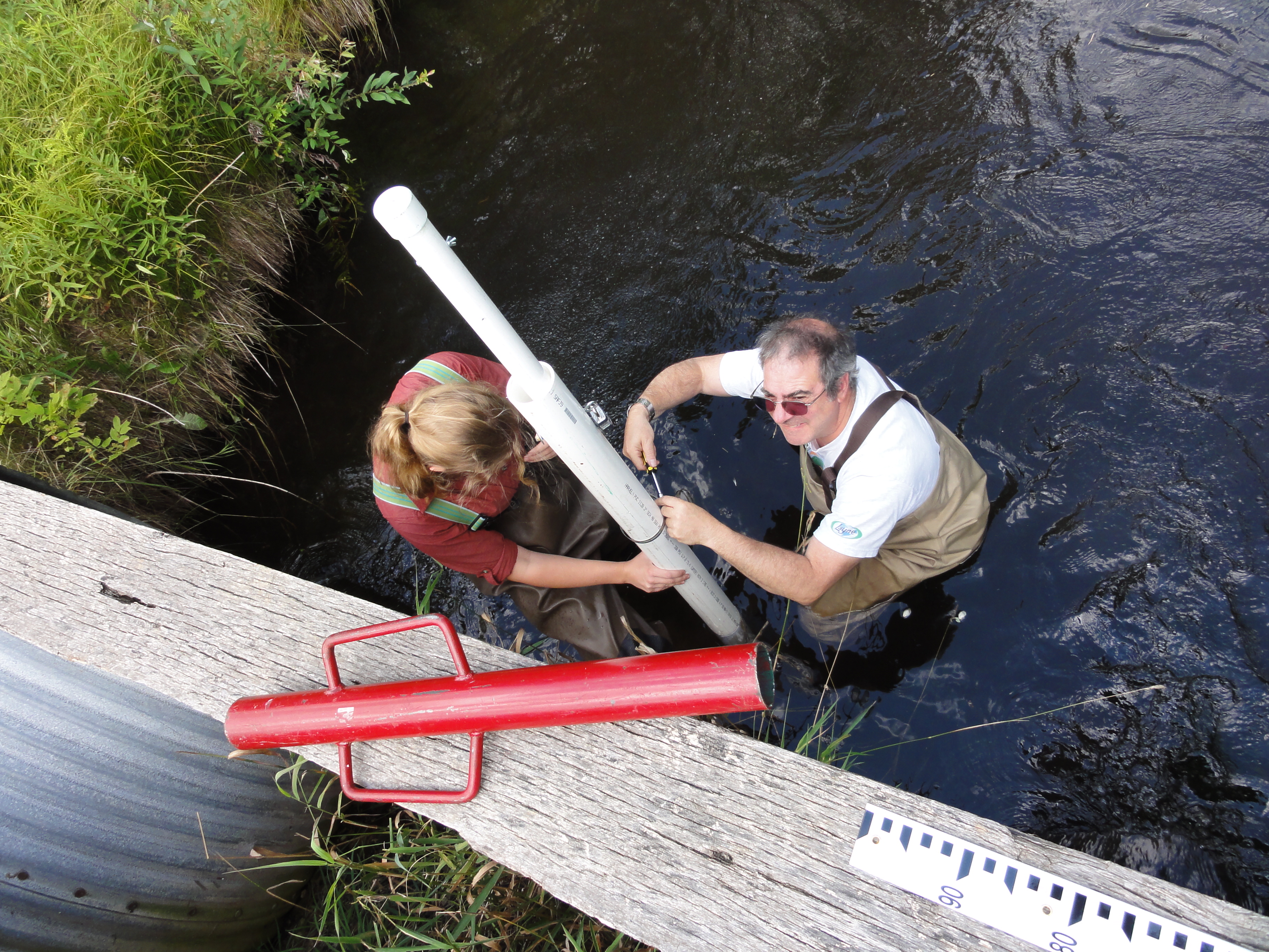
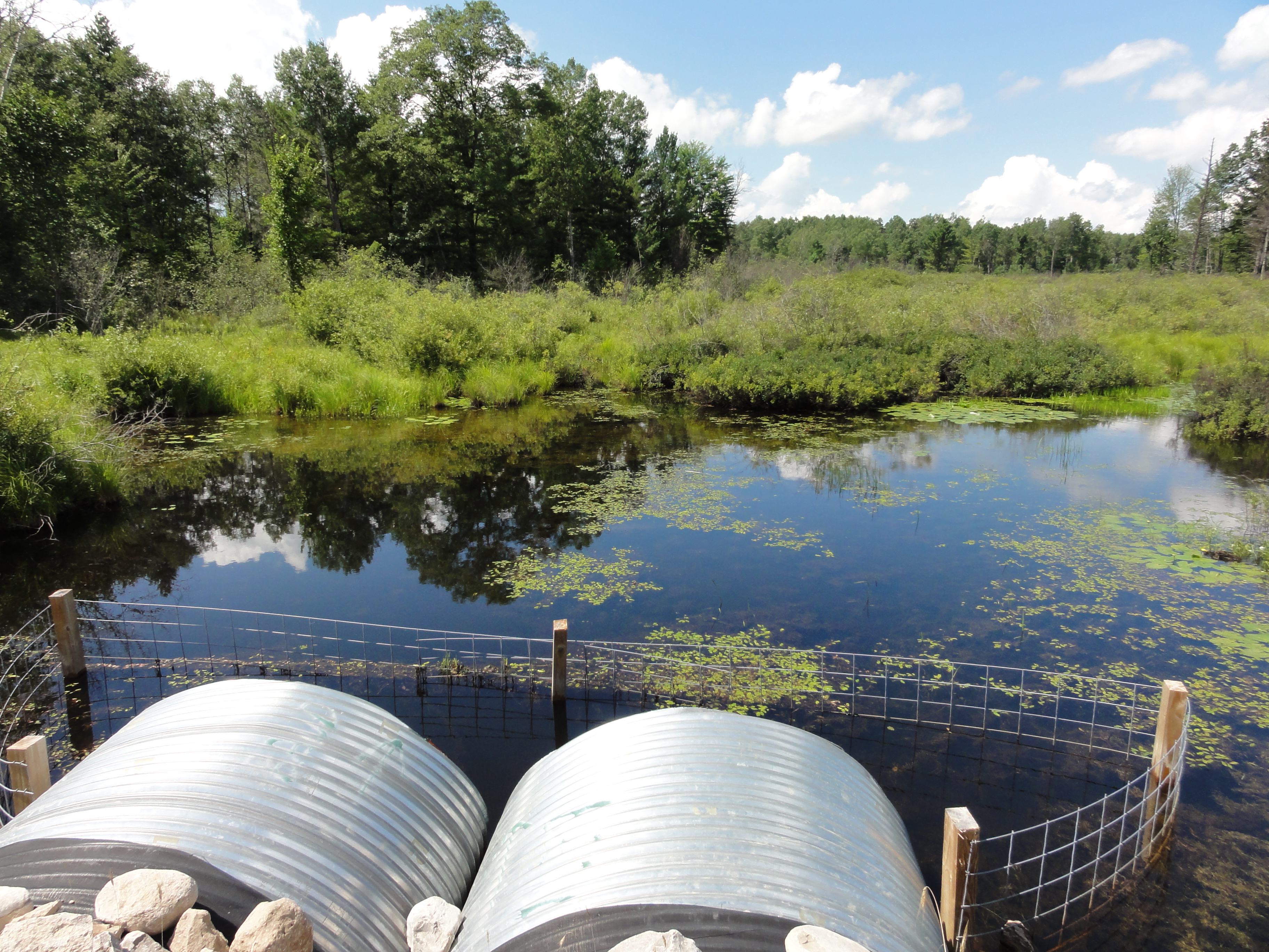
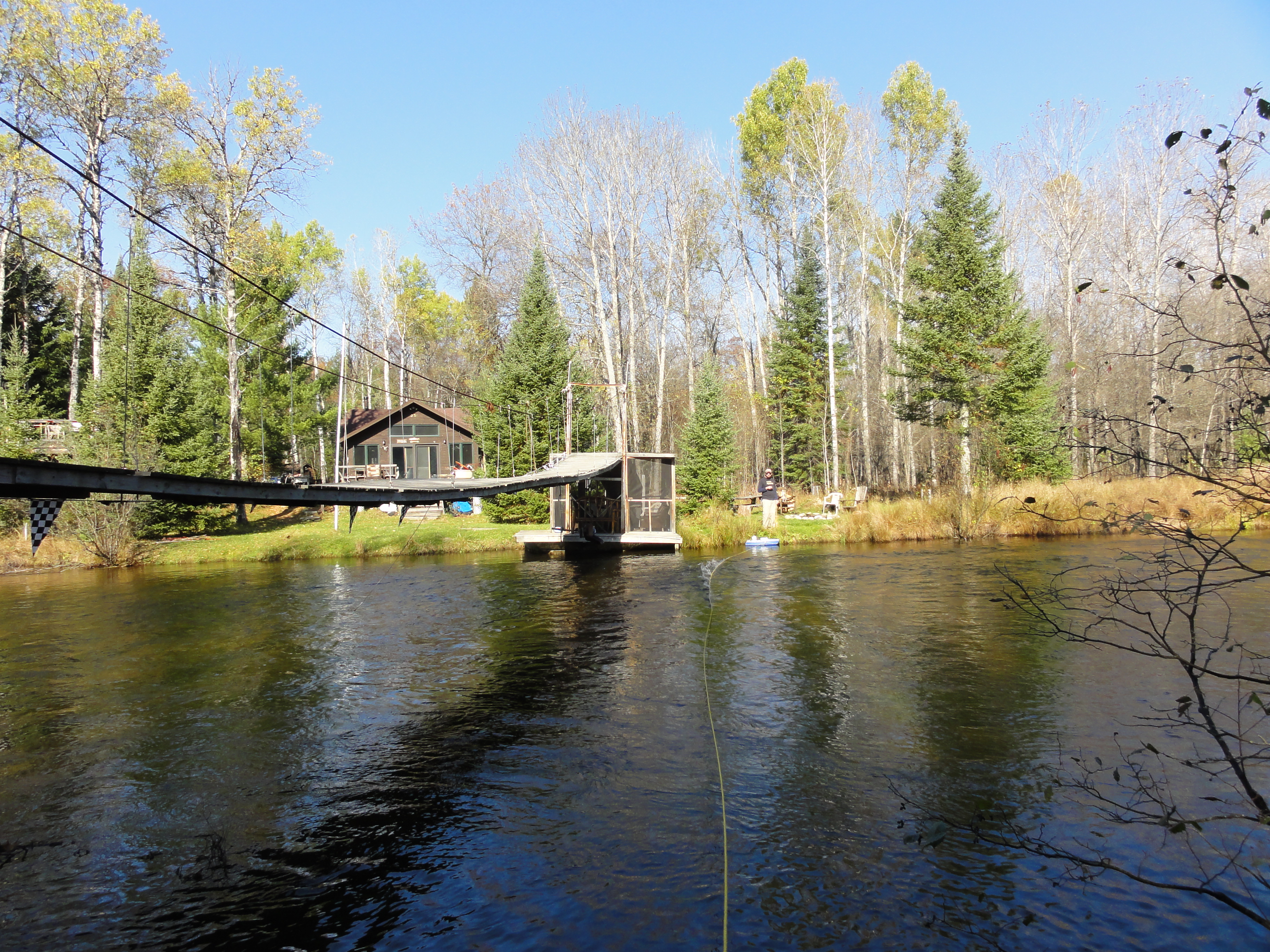
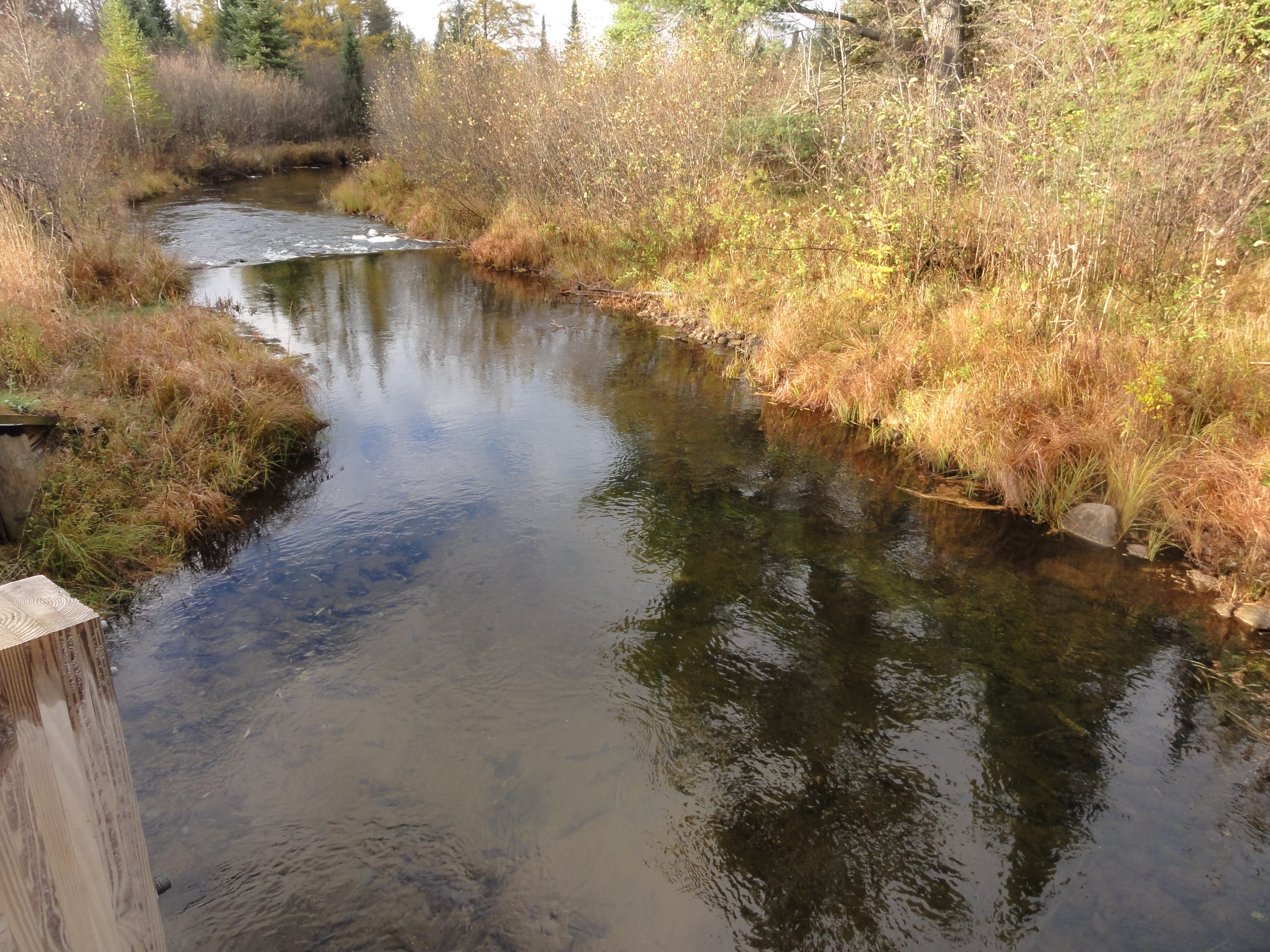
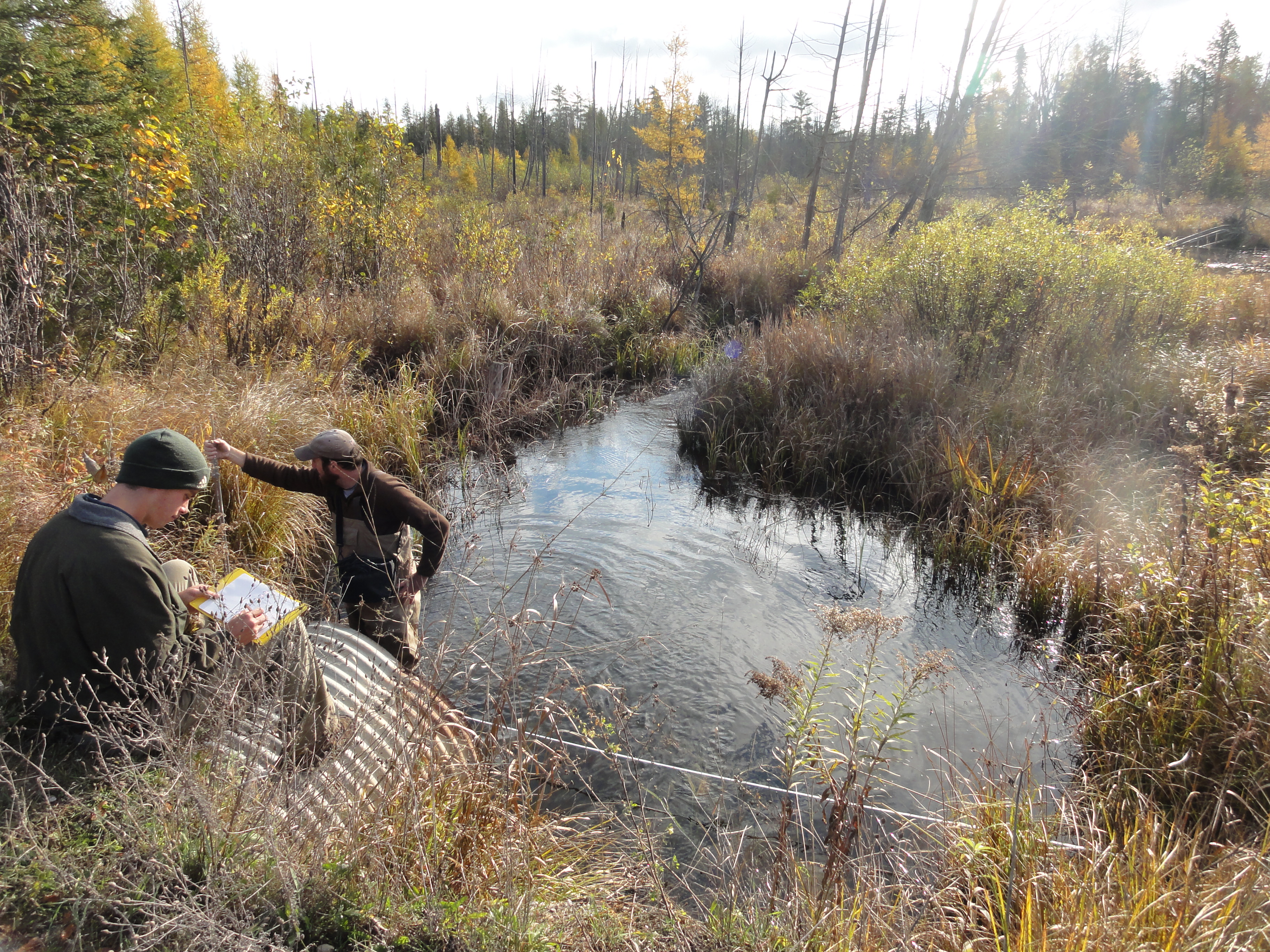
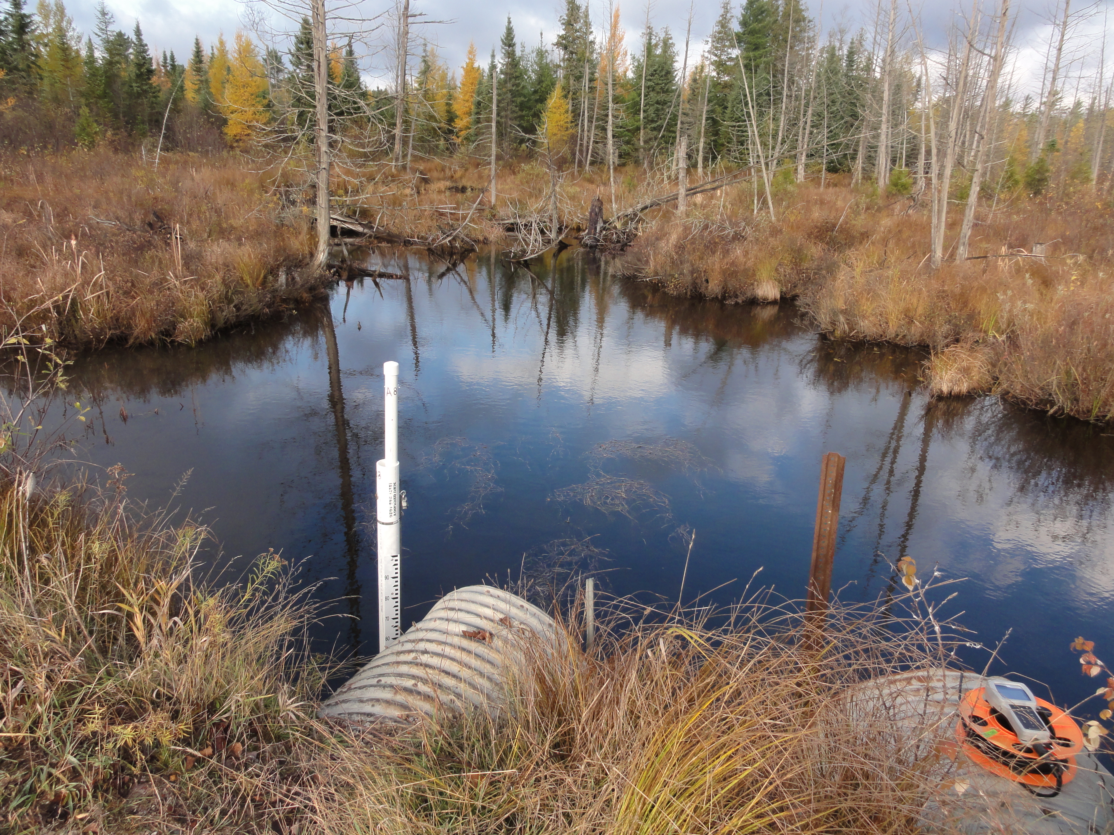
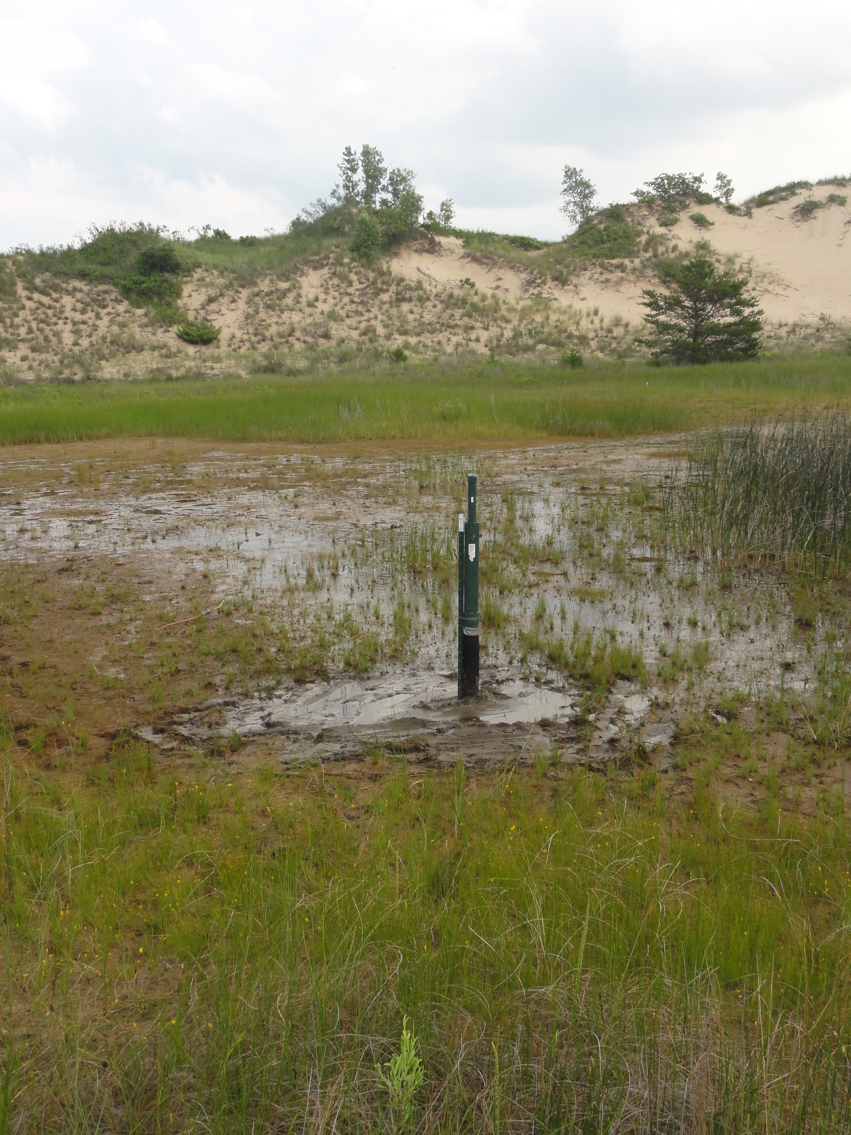
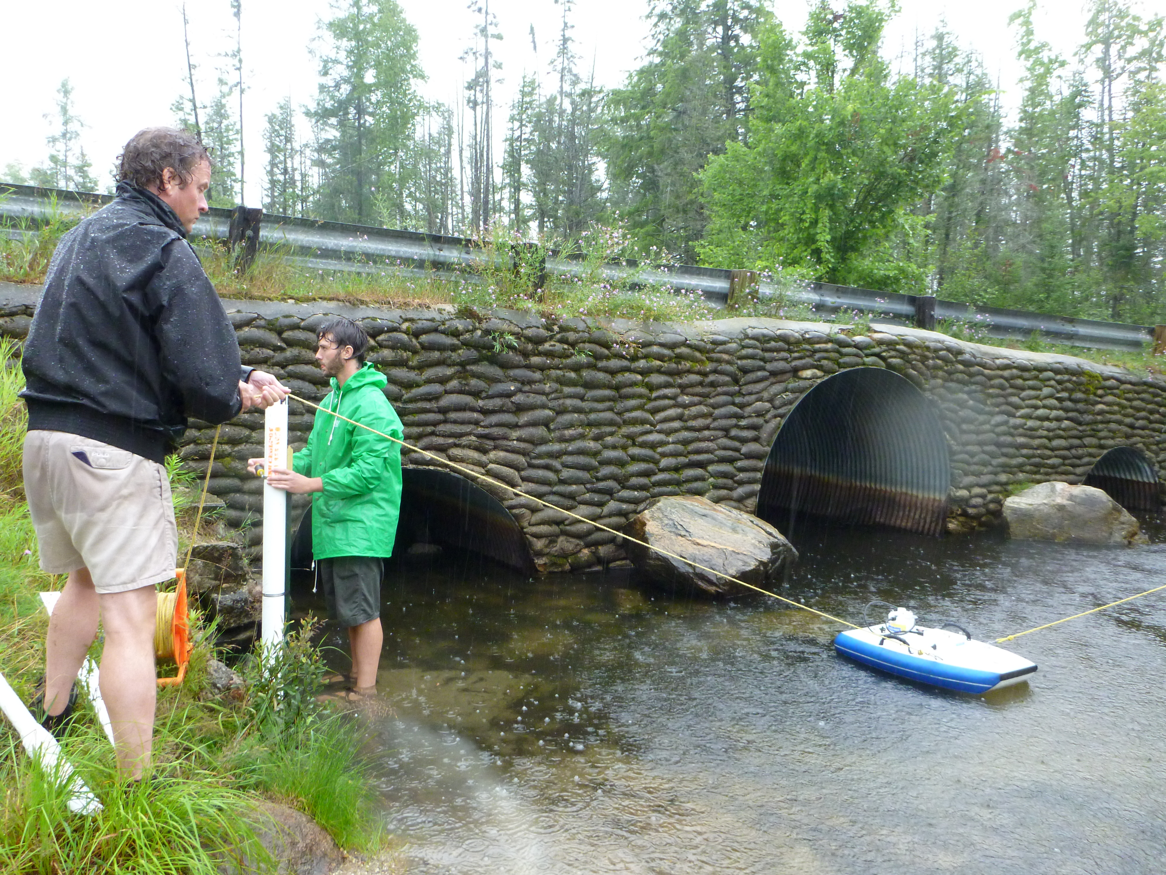
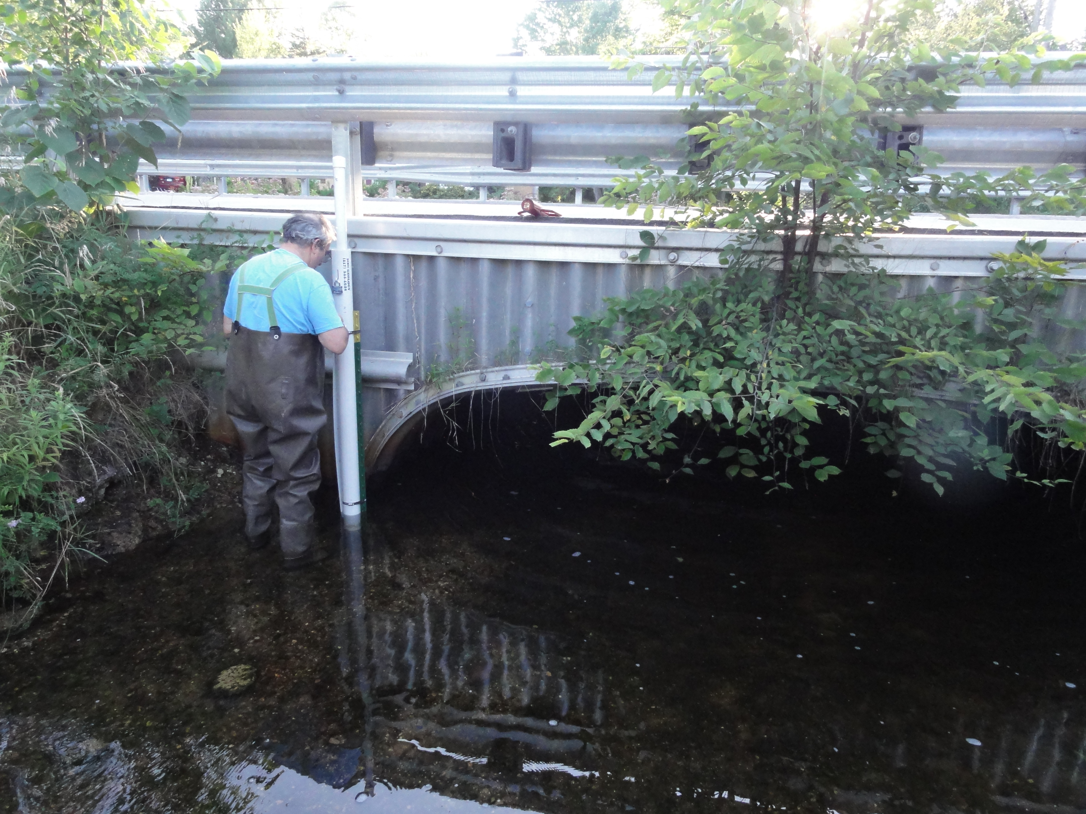
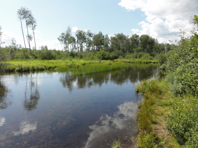
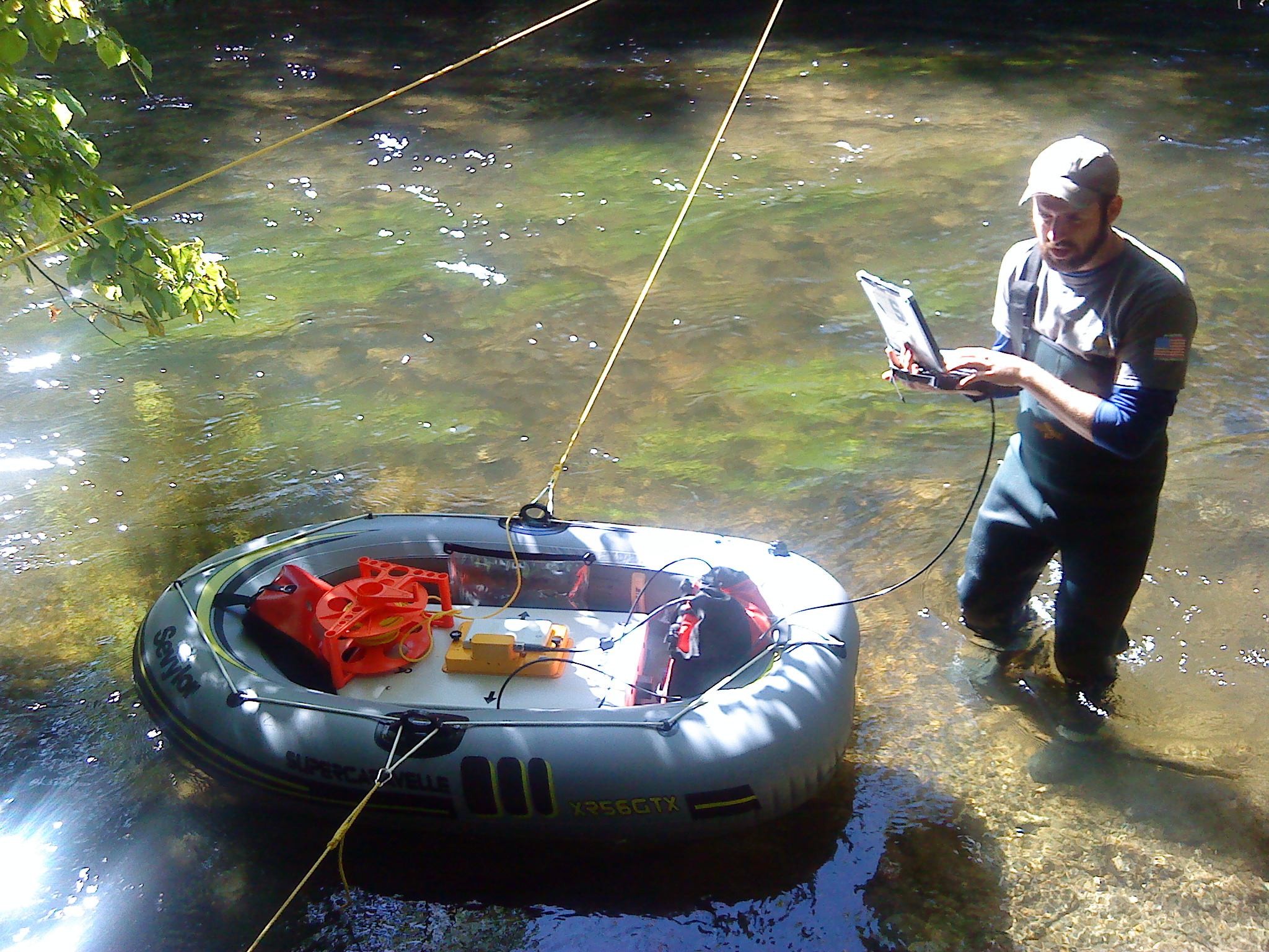
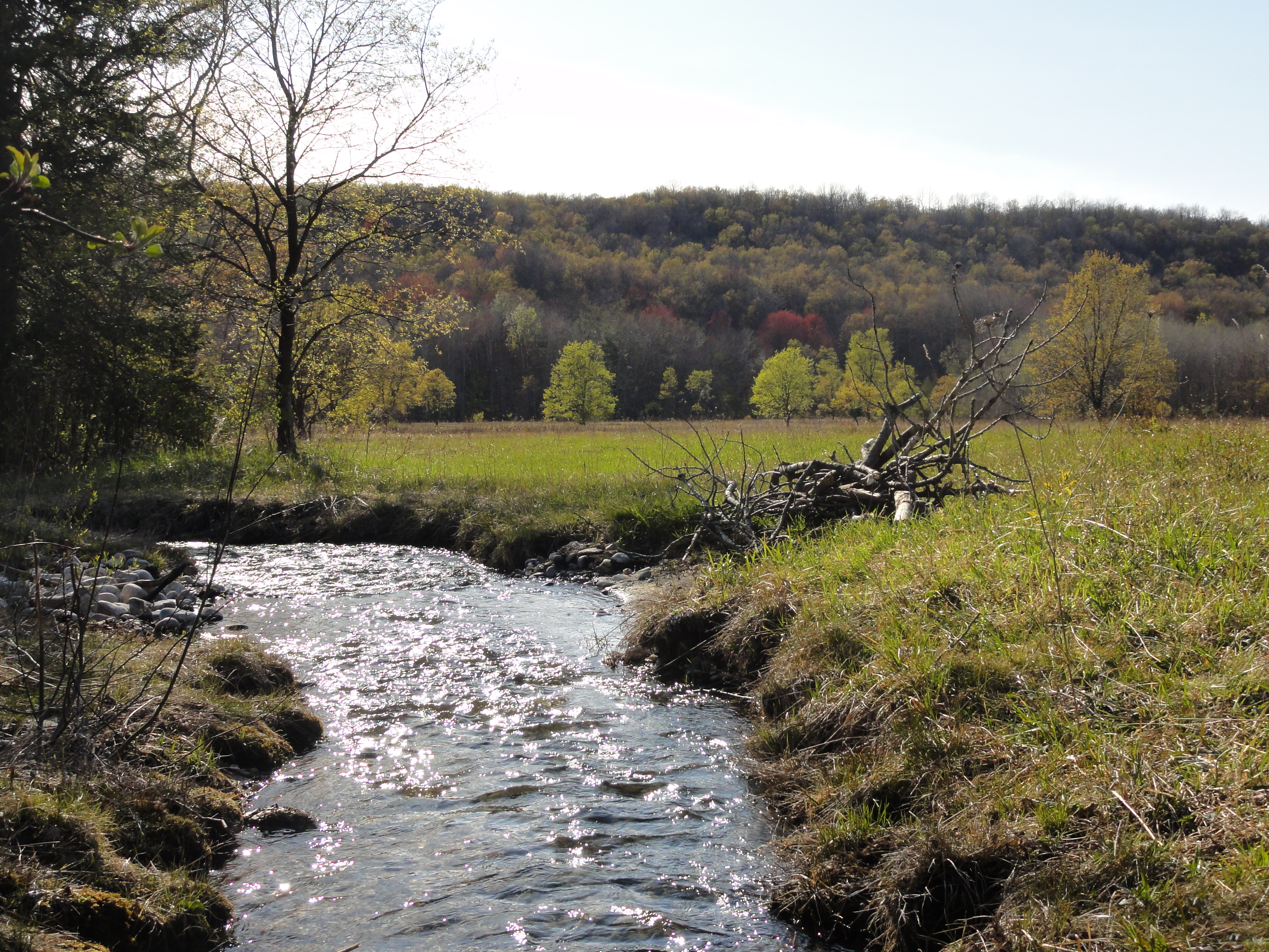
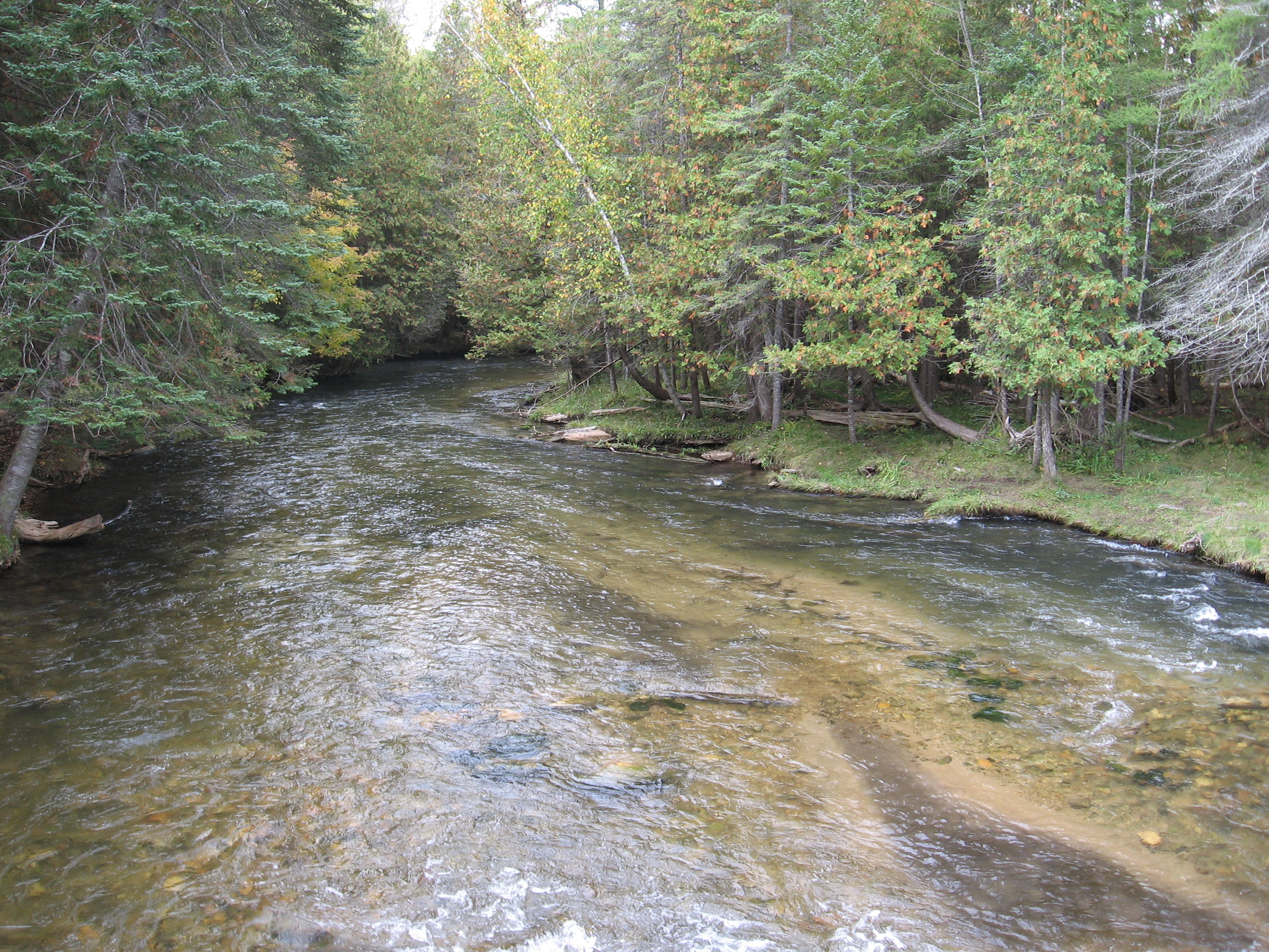
The interaction between groundwater and that on the surface is not understood well. Its aspects are both complex and in want of better ways to measure such things as stream flow. There is a need for newer methods to be found in order that we can more fully understand these systems and help maintain them.
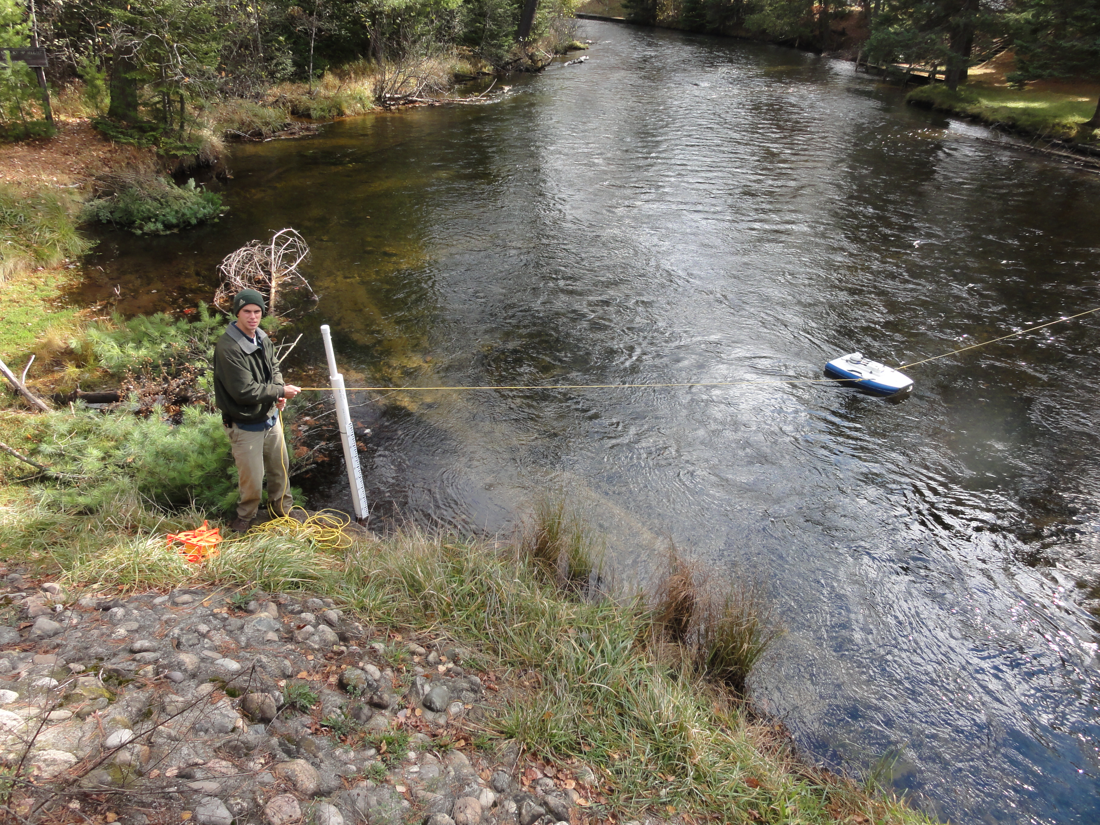
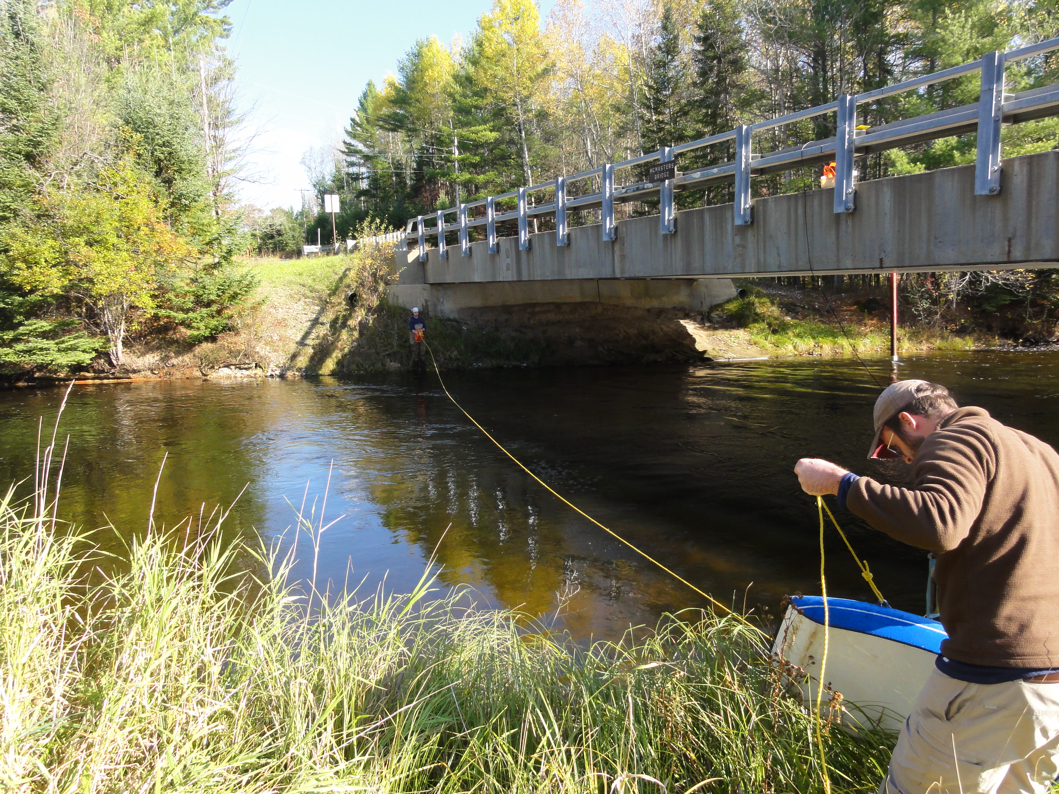
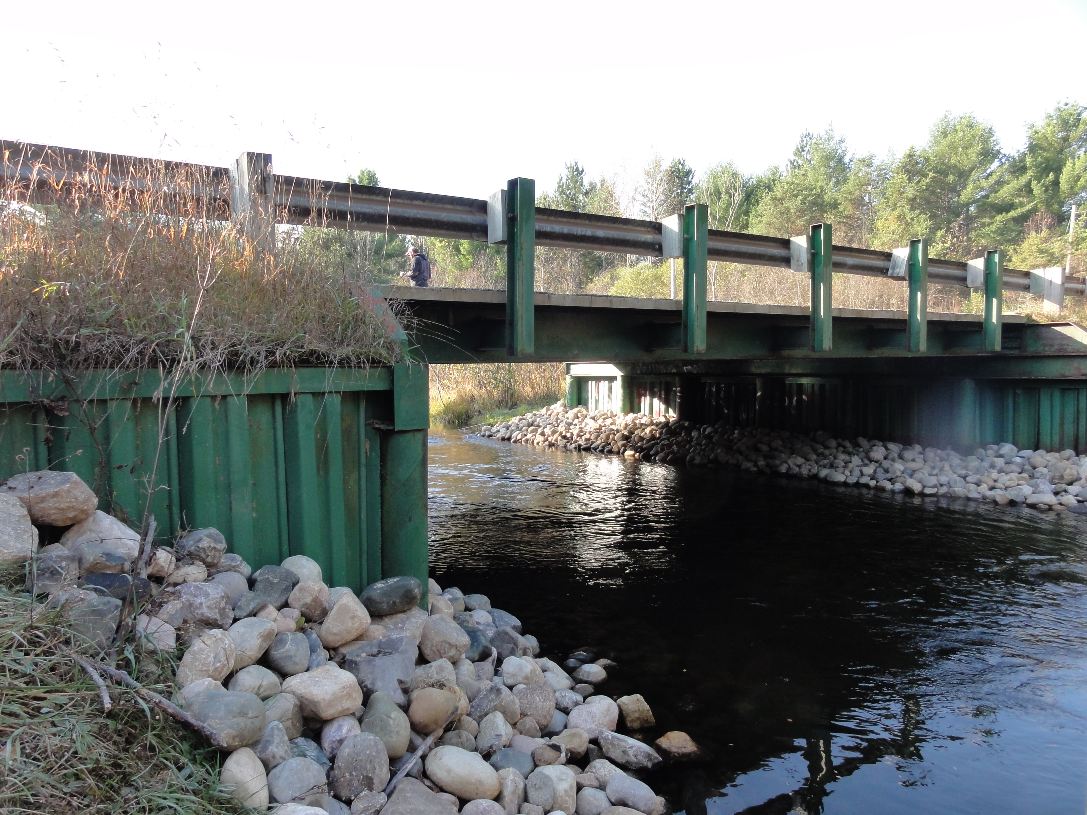
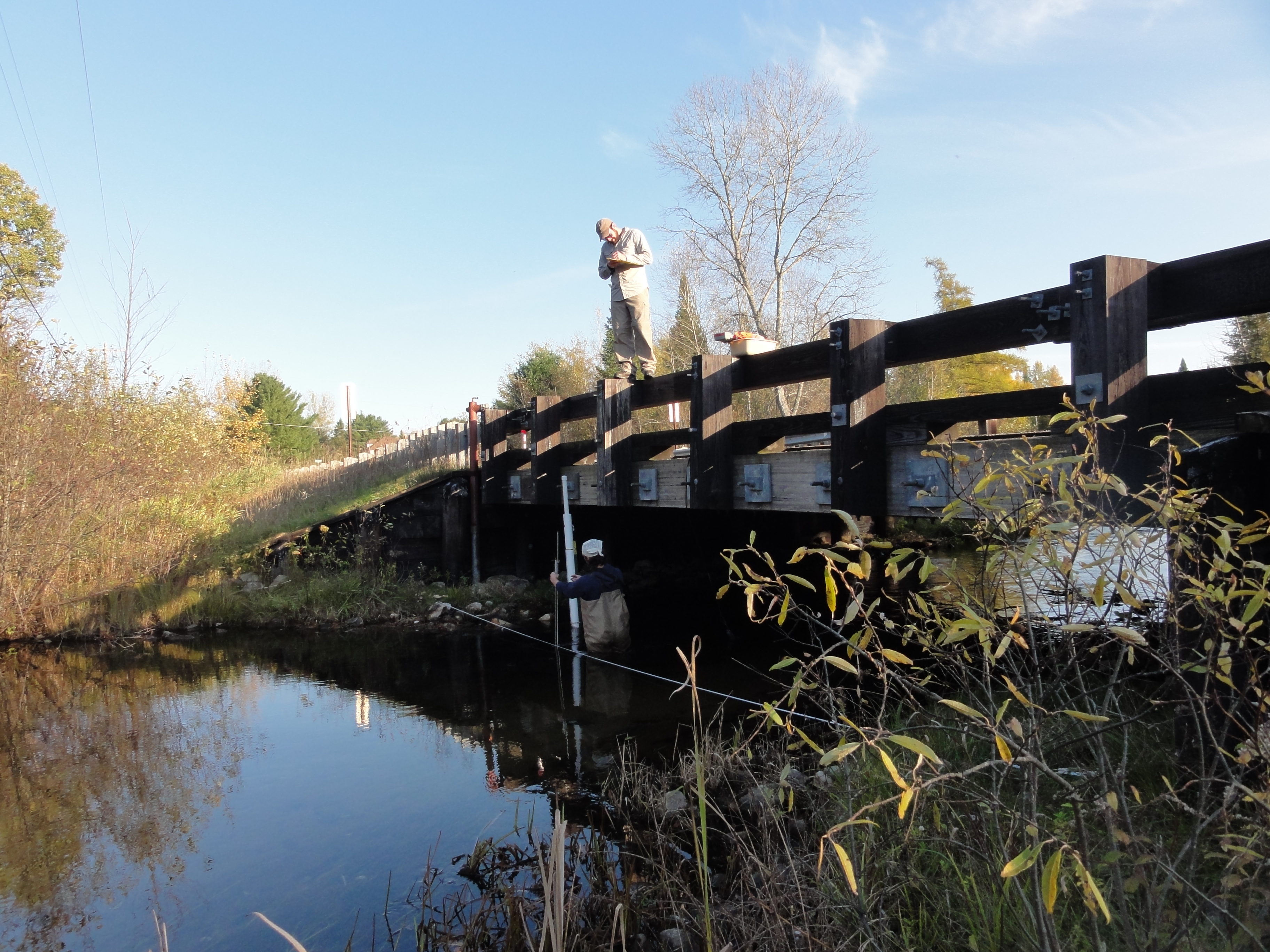
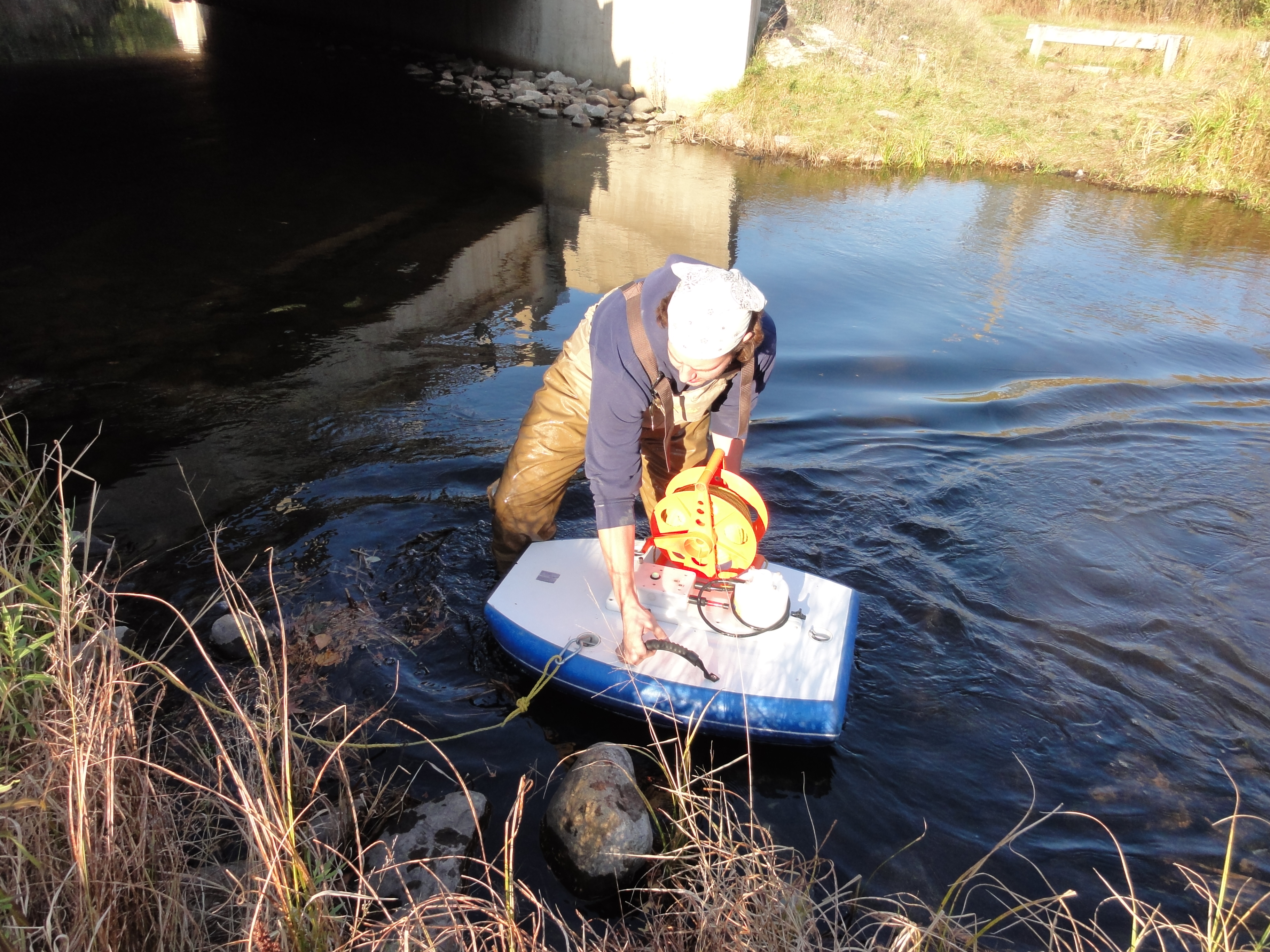
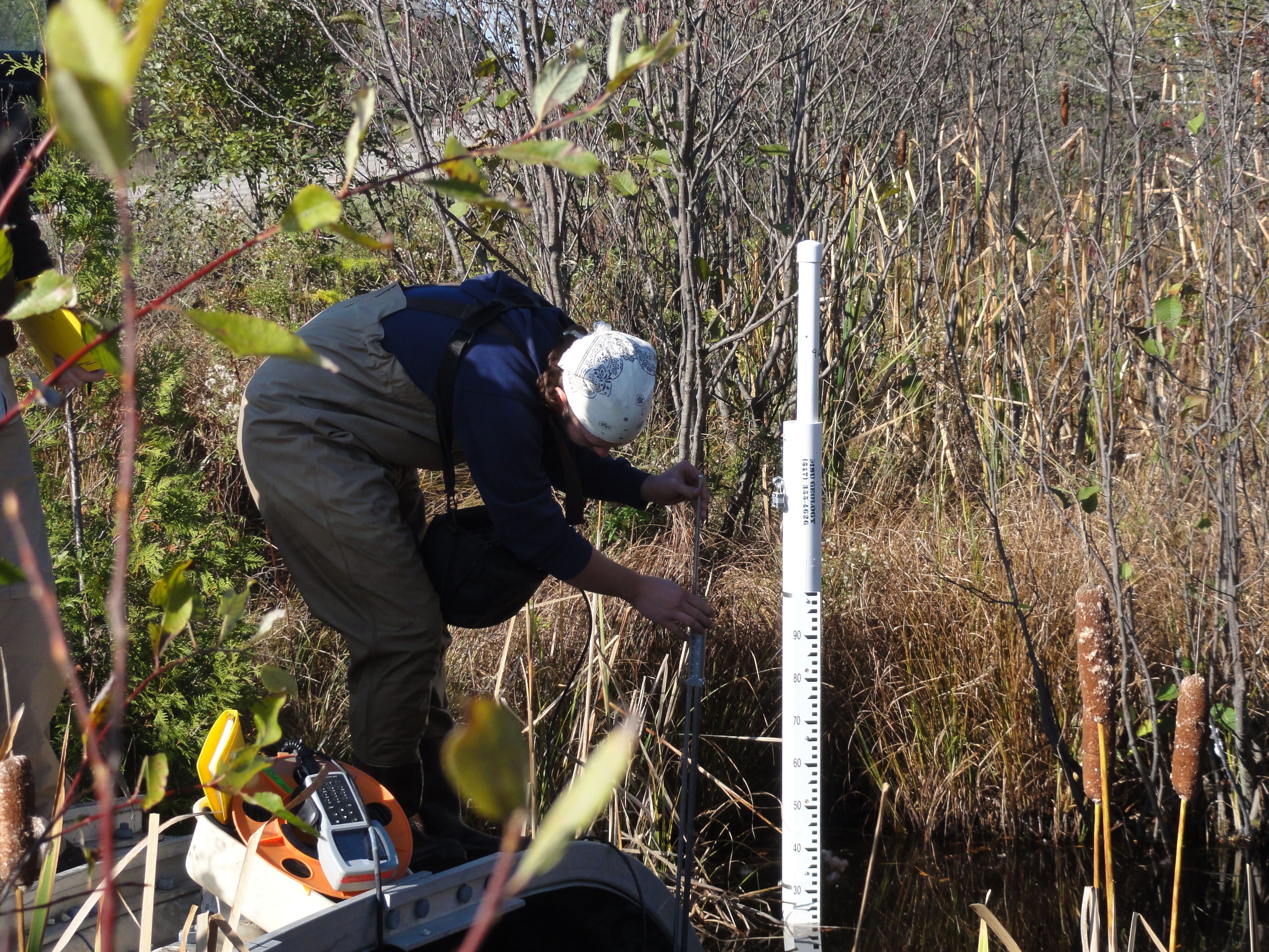
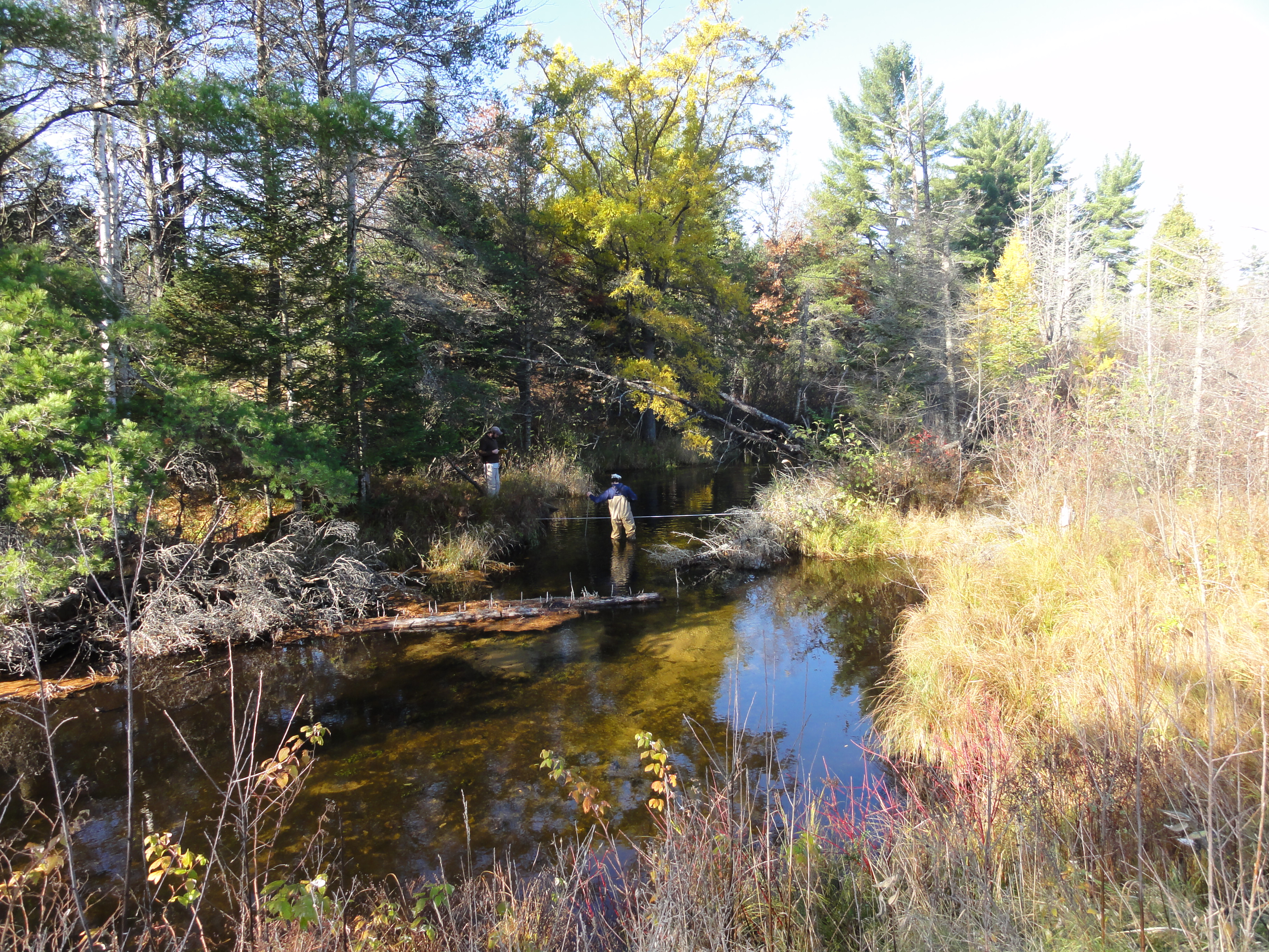
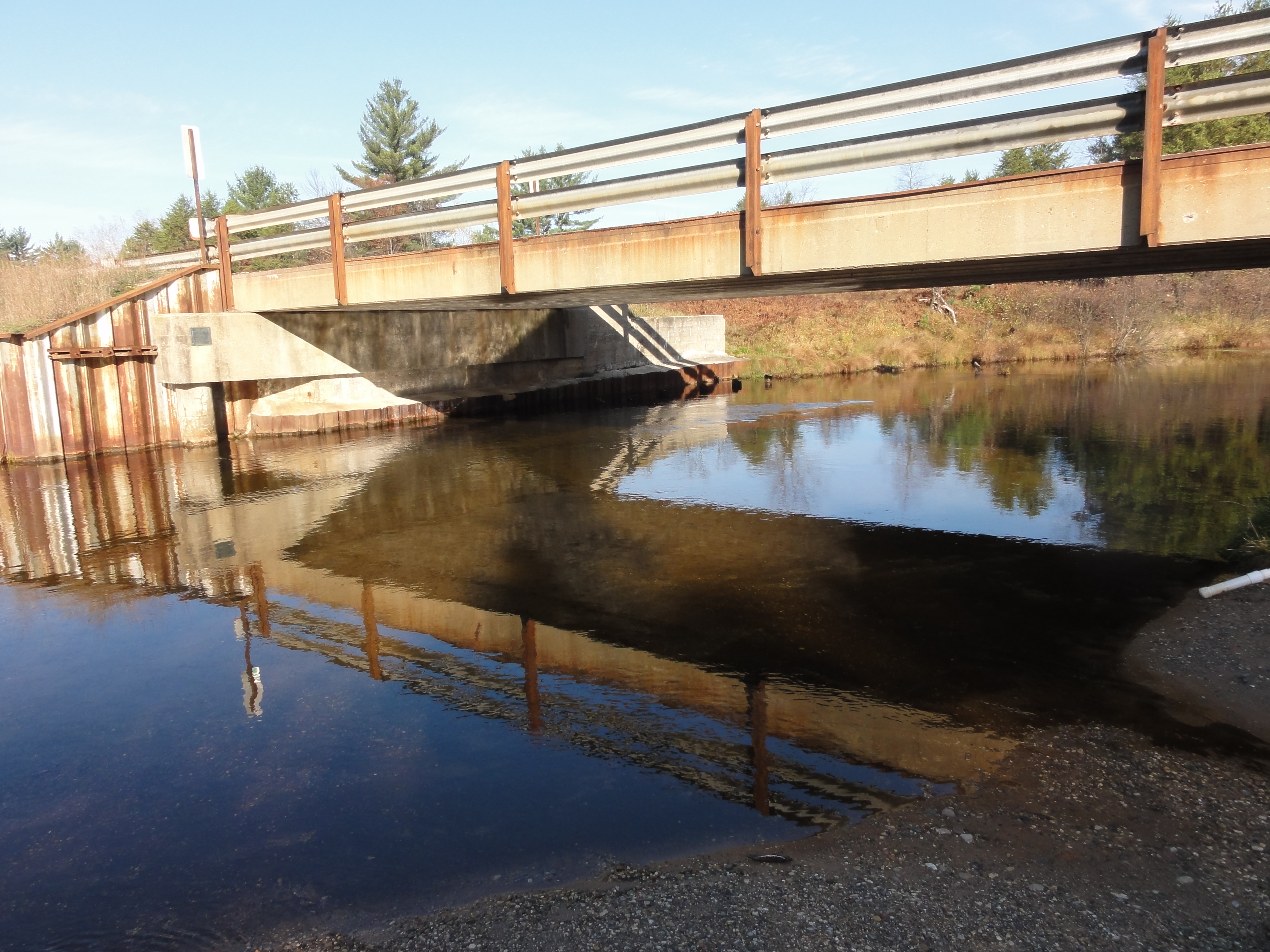
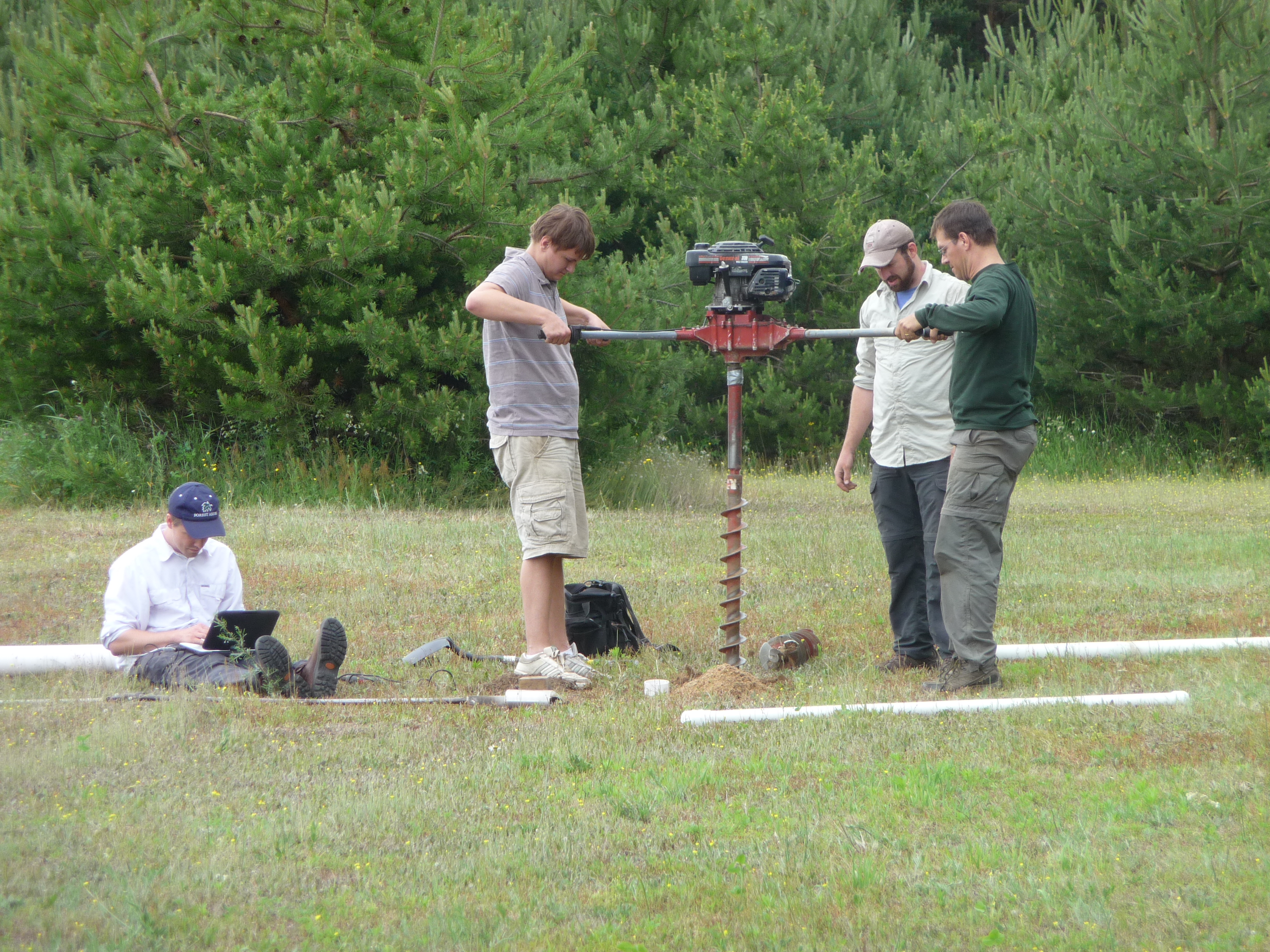
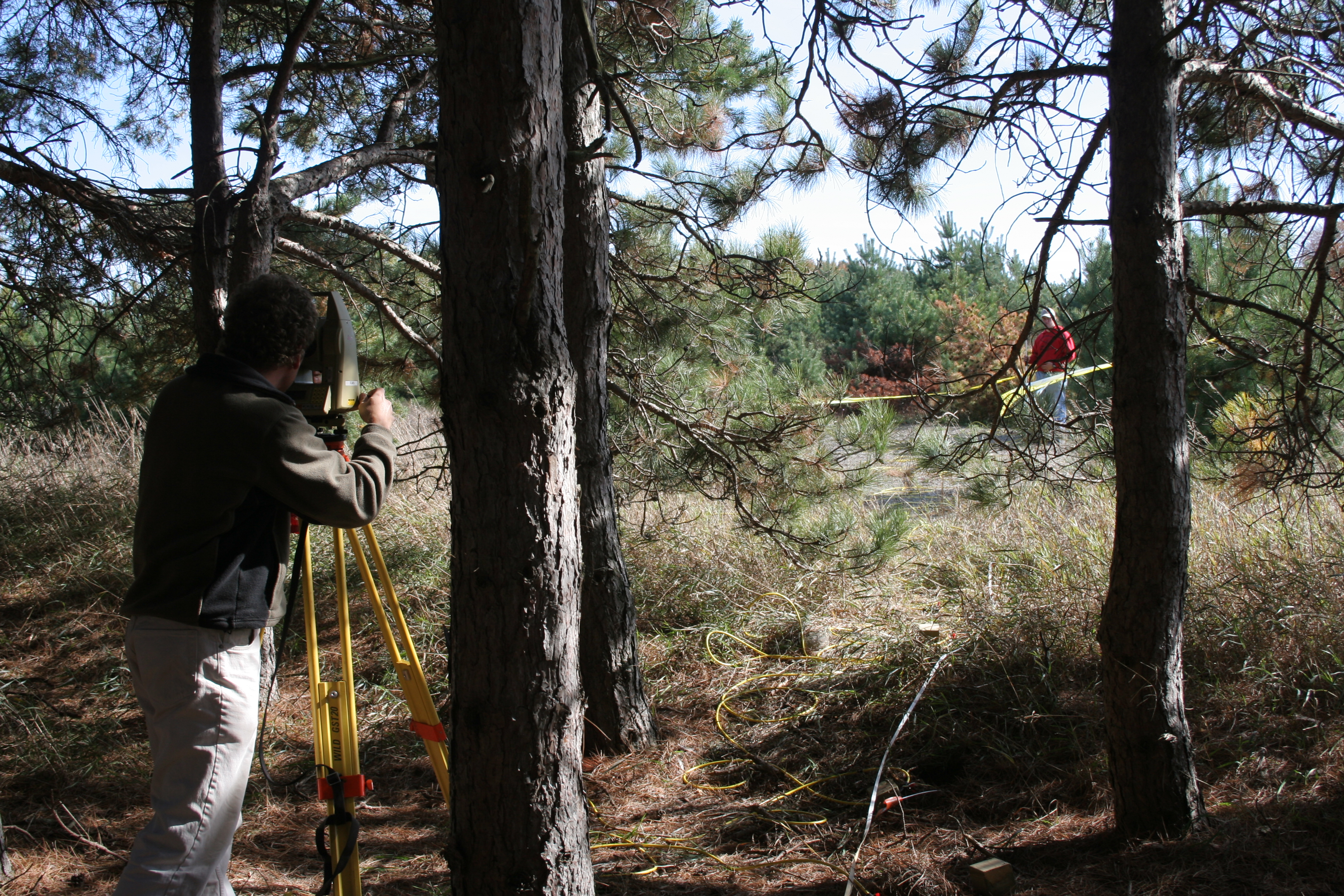
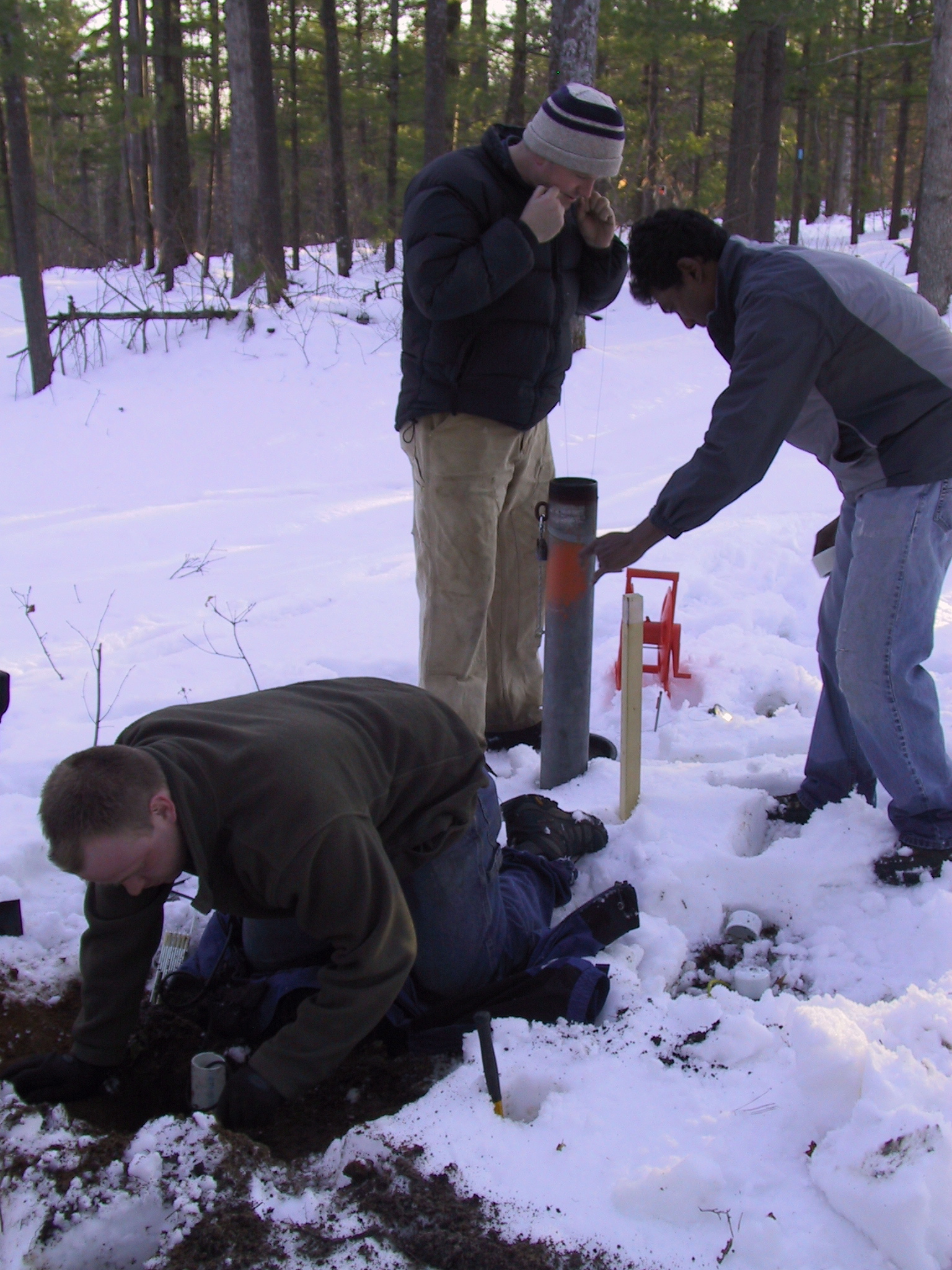
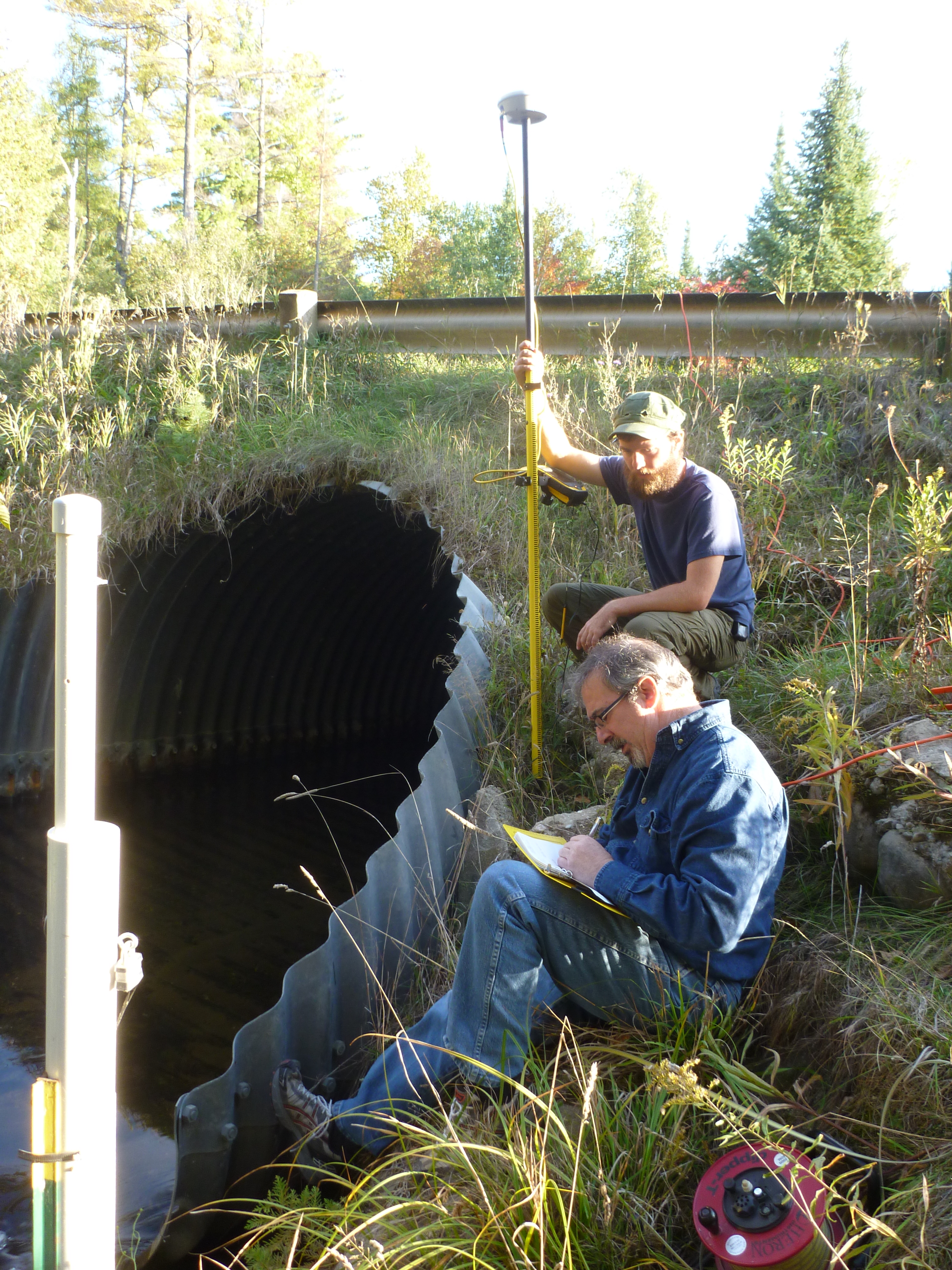
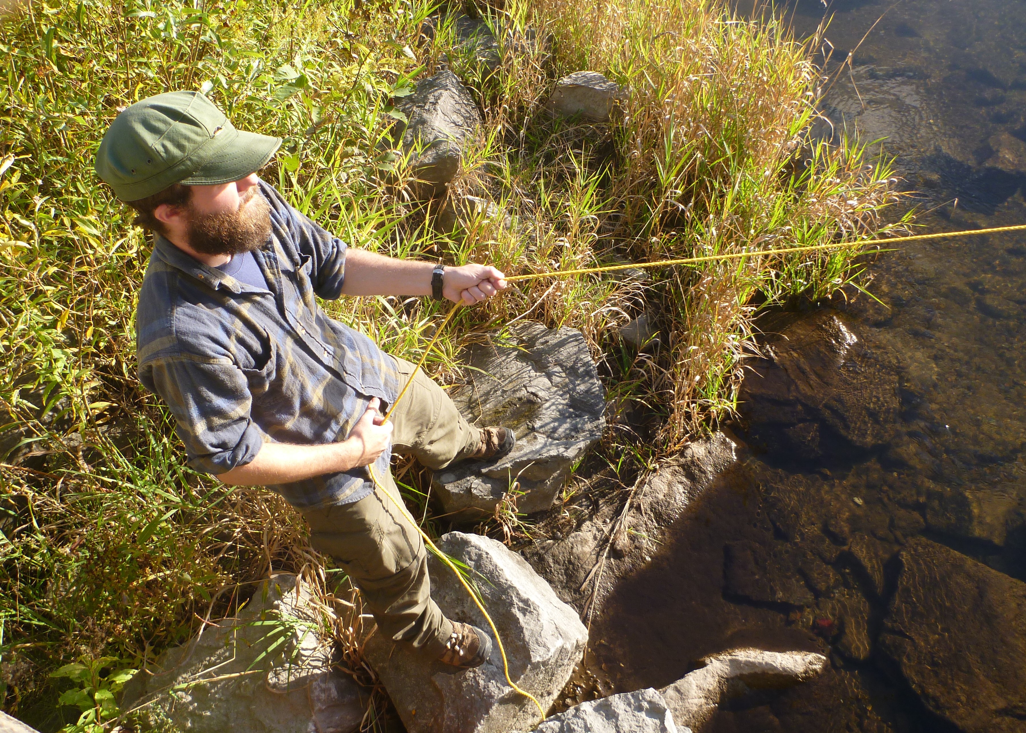
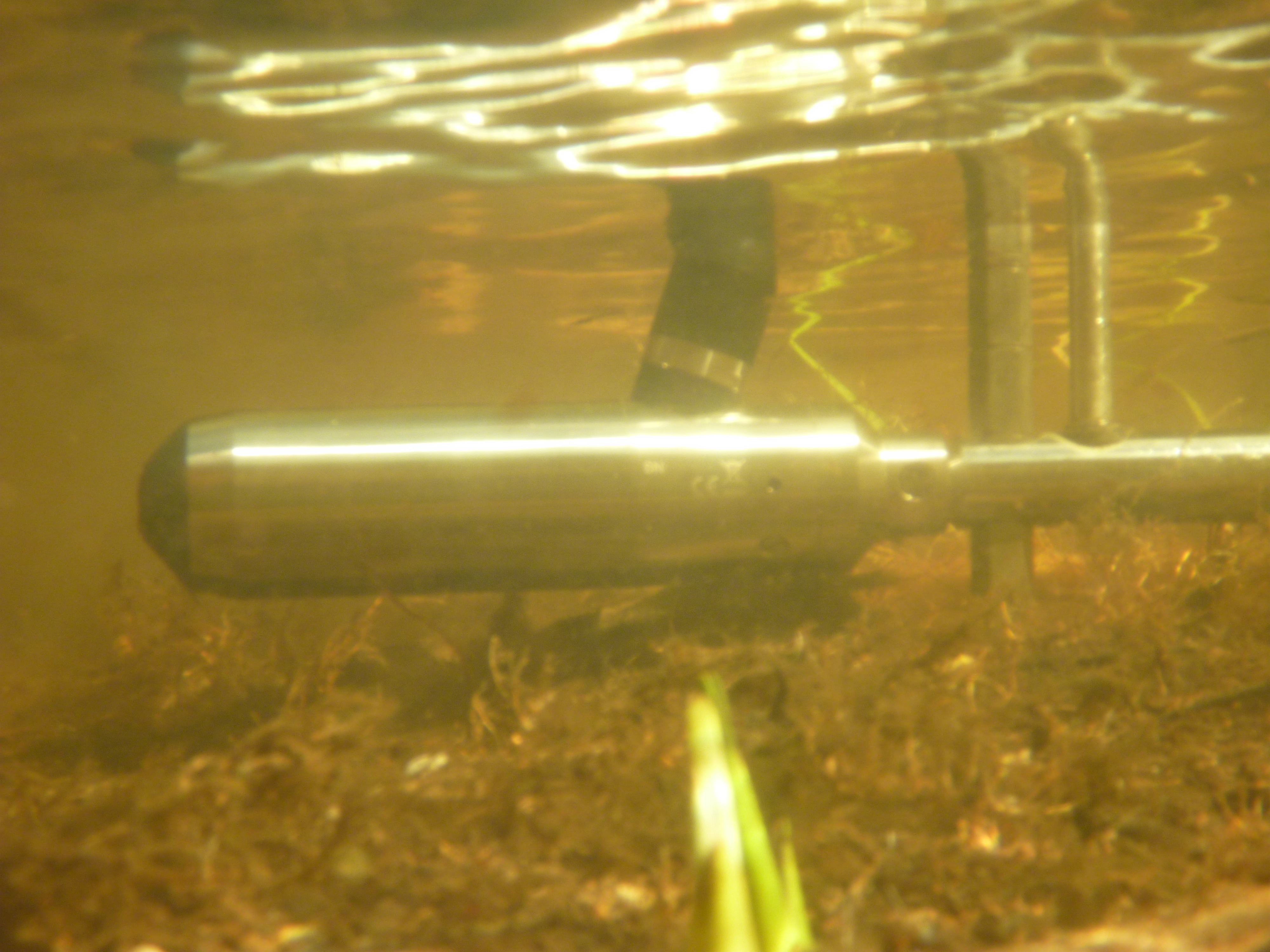
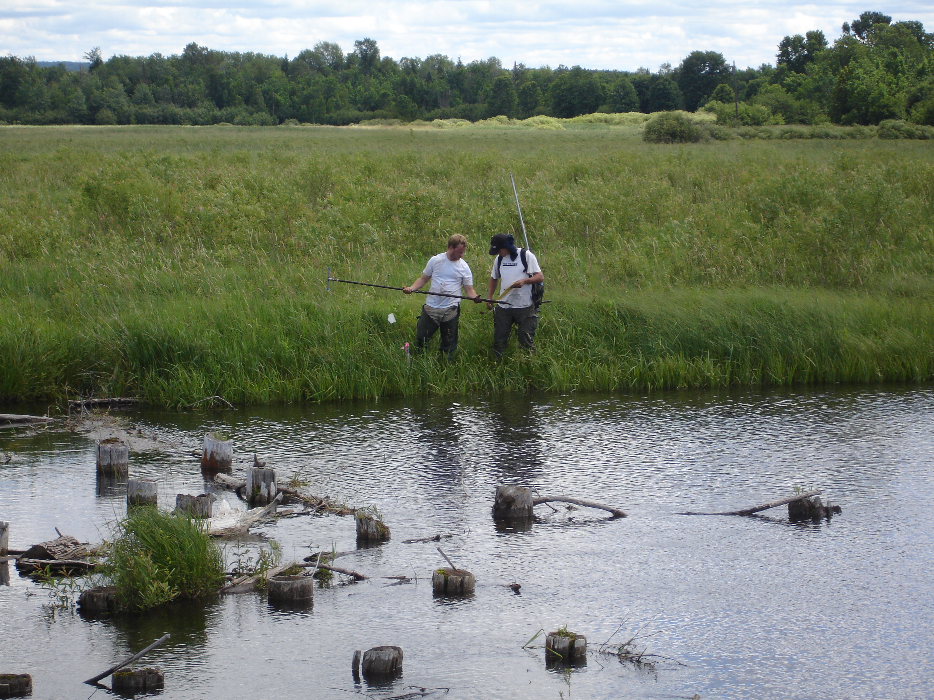
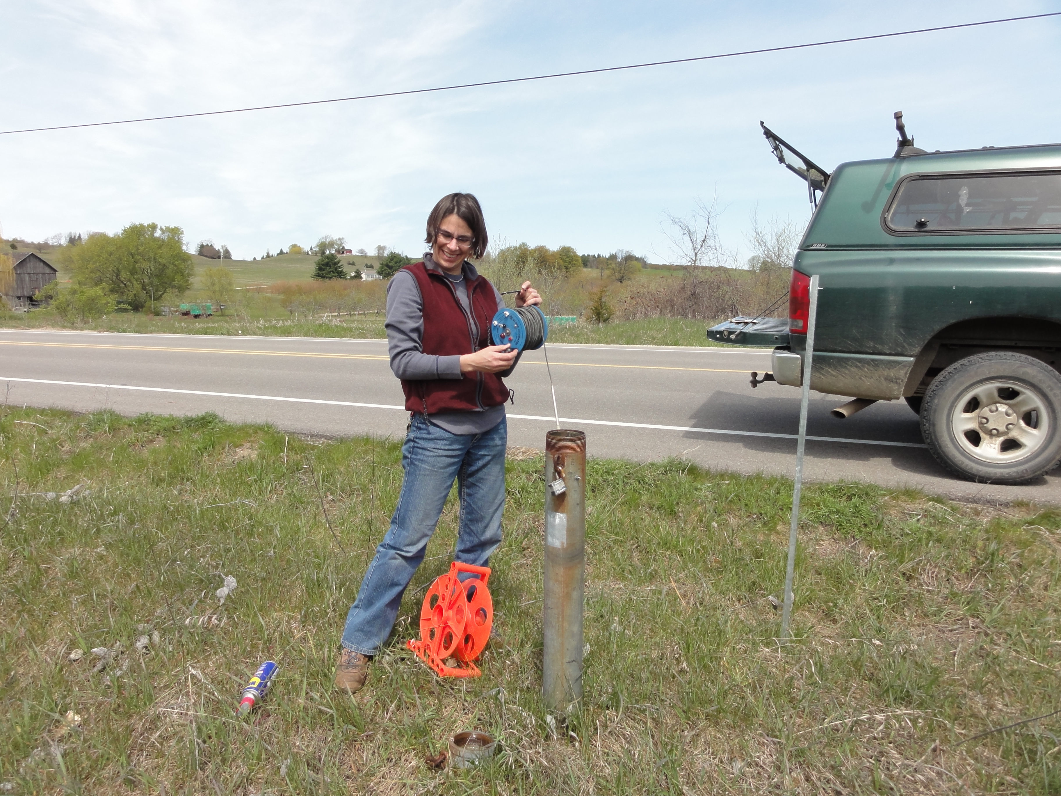
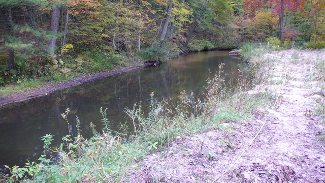
![]() Through looking at both the Au Sable and Manistee River basins’ headwaters, our objective of this project is to develop methods to increase our knowledge of temperature, stream flow rates, groundwater recharge rates, etc. in these areas. In a two year span, forty gages are to be installed in both the headwaters of the Manistee and the Au Sable rivers. Though the state does have groundwater assessment tools out there, the system is not focused on the headwaters. We are creating a much denser network to narrow in on these specific places in the river system to add to the overall knowledge of rivers.
Through looking at both the Au Sable and Manistee River basins’ headwaters, our objective of this project is to develop methods to increase our knowledge of temperature, stream flow rates, groundwater recharge rates, etc. in these areas. In a two year span, forty gages are to be installed in both the headwaters of the Manistee and the Au Sable rivers. Though the state does have groundwater assessment tools out there, the system is not focused on the headwaters. We are creating a much denser network to narrow in on these specific places in the river system to add to the overall knowledge of rivers.
By creating a detailed network of stream gaging in these two areas, we hope this will in turn provide a basis for further research projects. Our findings will be able to help in dealing with the above such measurements in areas across the lower Peninsula of Michigan, more specifically in the areas of groundwater and recharge processes. Also, by assessing the use of such gages, we can analyze other impacts on the headwaters, such as climate changes, land use changes, and possible managing methods for various fisheries statewide.
The procedure for this project is as follows:
Task 1: Install Stream Gauging Stations
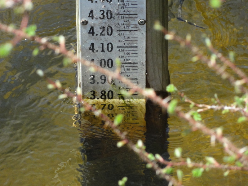
Task 2: Collect Stream Flow Measurements
Task 3: Monitor Basic in Stream Chemistry (conductivity, pH, temperature, ORP)
Task 4: Write Report
The PI for this project is Dr. David Hyndman. Funding is provided from both the State and the Anglers of the Au Sable for a two year study.
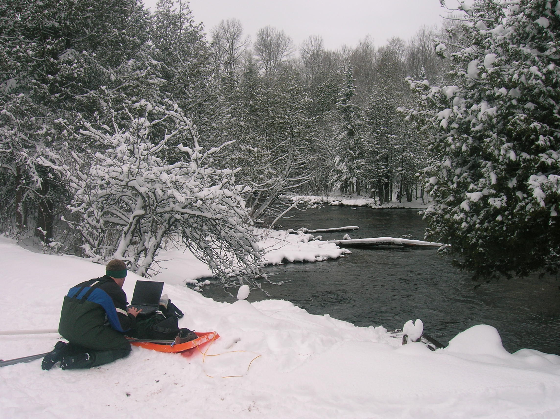
Project Photos:
]]>

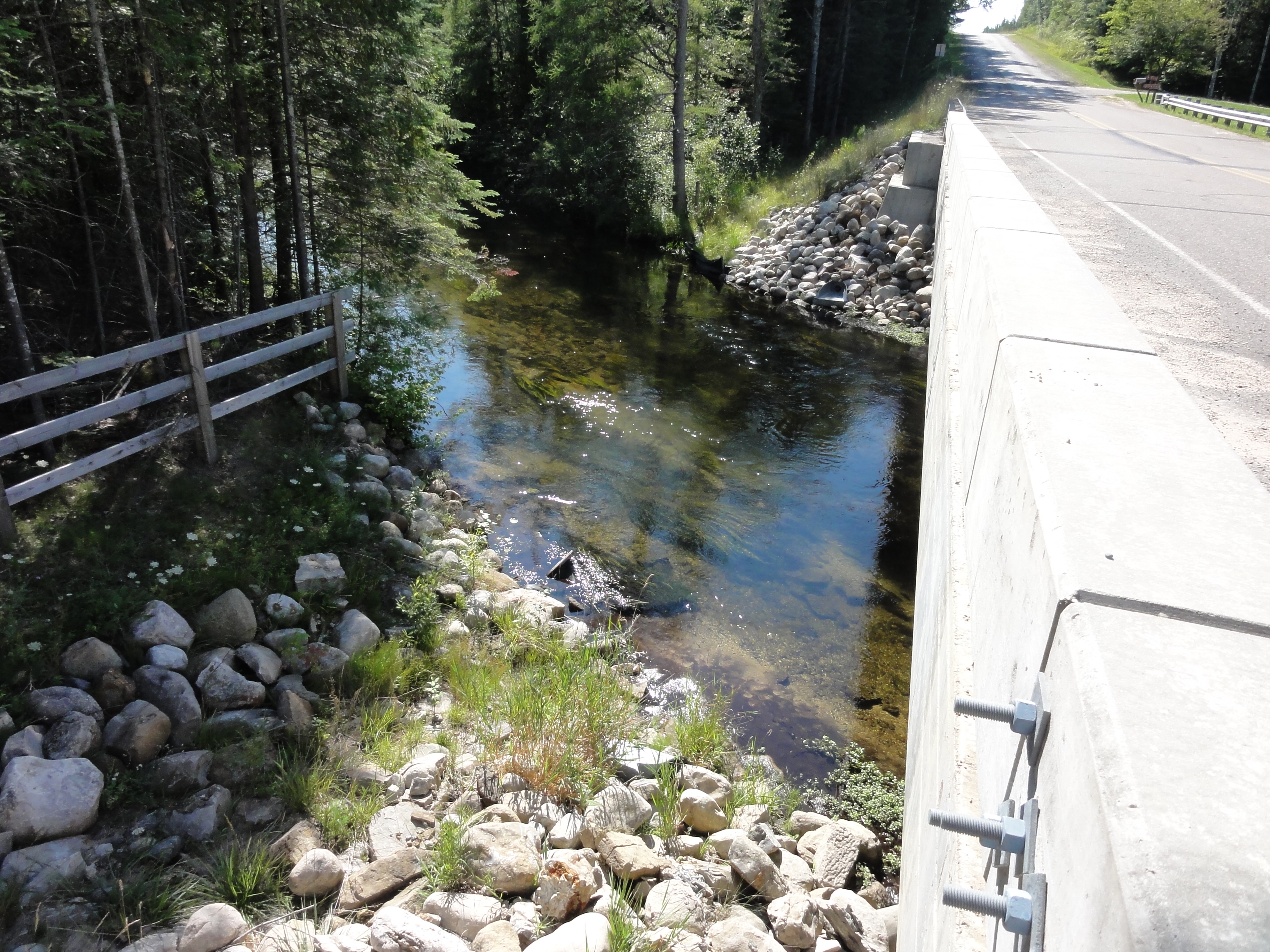
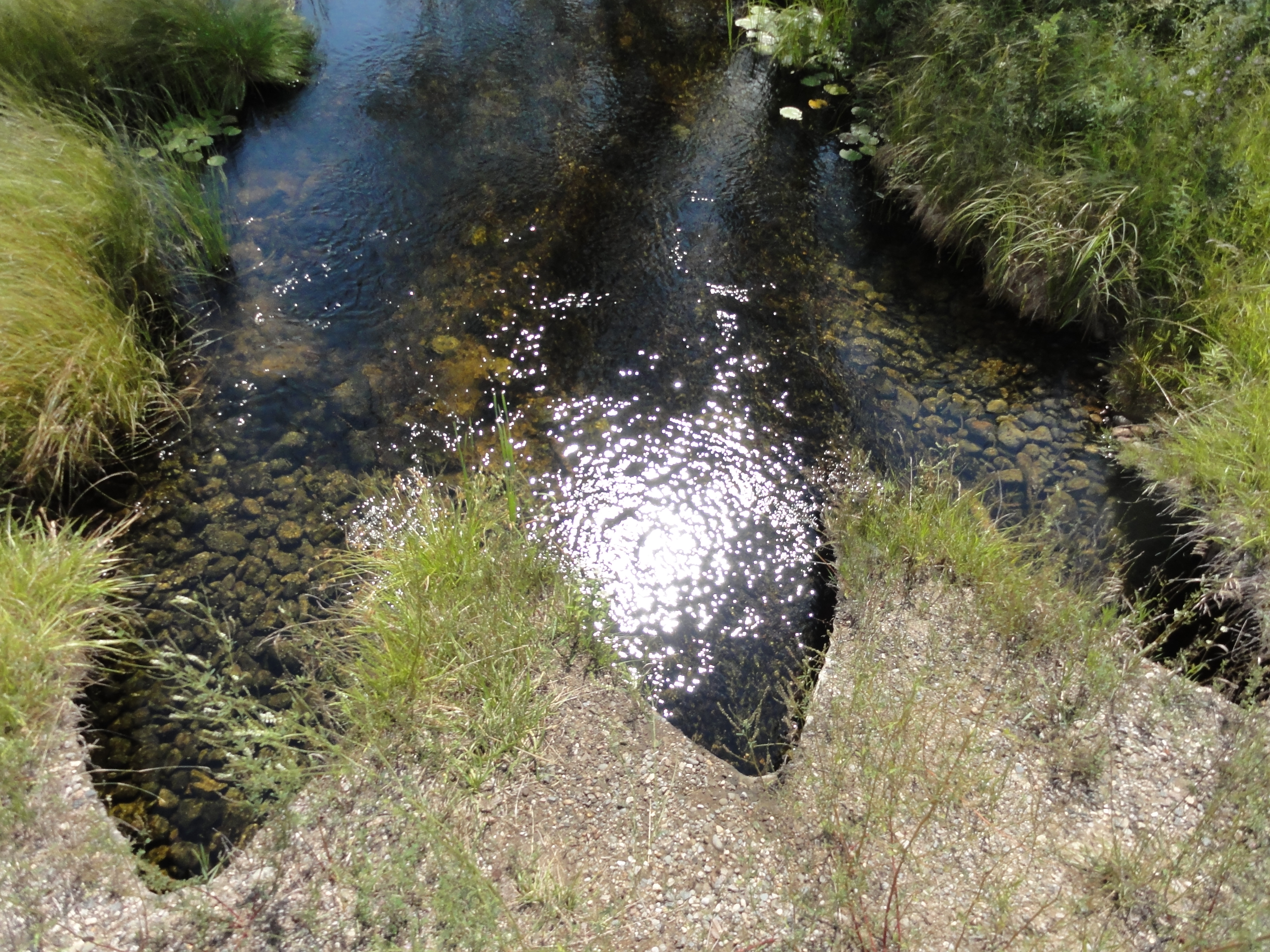
Looking at Higgins Lake in Roscommon County, this project is analyzing the implications of a control structure dam on both the lake itself and the Cut River. Effects of erosion have been found and yet little study has been done on the structure’s role in the environment. This could play a large effect on not only the lake and river wildlife, but the economy and environment of the surrounding human population as well. The Higgins Lake Property Owners Association (HLPOA) made these possible implications and their concerns clear when they brought this issue to the Michigan Department of Natural Resources and Environment’s (MDNRE) Fisheries Division.
Higgins Lake has large economic benefits to the surrounding economy and is significant in both fishing and recreation. These were among the reasons HLPOA became concerned with the structure’s impacts in the first place. They fear that the control structure will diminish these benefits. This study aims to identify how water level management scenarios might impact fish habitat on Higgins Lake and the Cut River.
This study looks to accumulate data by analyzing the local vegetation, hydrology, weather, and wildlife. With this data, we will be better able to understand the implications of the control structure and how to prevent harm on the area’s bio-system. Furthermore, we will be looking at the possible effects of removing the control structure and returning both Higgins Lake and the Cut River to their natural conditions. All of this data will be combined, allowing us to be able to give those who are stakeholders in these areas the information they need when it comes to deciding what must be done: leave the dam alone or remove it.
Funded by the Michigan DNR and the Higgins Lake Foundation, on March 4, 2012, this project received a $100,000 grant for two years. The partners in the grant proposals are Mike Wiley at the University of Michigan and the Huron Pines Inc.
]]>

Six Word Summary:
Extreme Events Change Nutrient Delivery, Blooms
Furthering steps taken by a past EPA Grant, this project is looking at predicting harmful algal blooms using remote sensing, hydrologic models, and landscape features. With current extreme events, such as droughts and storms, caused by climate change, we want to assess how they will impact both water quality and algal blooms management. Looking into the relationship between extreme events and water quality, we hope to increase the variety of tools at our disposal. This will in turn help us to not only better understand this relationship, but also allow us to have a better knowledge of the impacts on water quality and algal blooms by different extreme events.
Algal blooms are caused by both microbial pathogens and excess nutrients that gather due to increased runoff during storms. Droughts also usually increase water temperatures, calmer weather, and high concentrations of nutrients, leading to algal blooms as well. The blooms can be harmful to both animals and humans, as in the area of quality of drinking water, and they have been estimated to cost the U.S. around 2.2 to 4.6 billion dollars per year in economic damages. Frequency of algal blooms has been increasing along with extreme events, and with such risks to animals, human health, and the economy, we want to look at how various regions and their water qualities will be impacted by extreme events in order to better manage algal blooms.
Three main tasks are associated with this project:
- Look at the history of algal blooms in different hydrological regions and how they have been tied to various extreme events in the past.
- Using models, possible causes of algal blooms by extreme events will be analyzed, as well as what influences climate change will have on algal biomass.
- Draw up statistical models that can be used on a nationwide basis in order to study various management strategies and their effects on possible extreme events’ vulnerabilities.
All this will be done is several ways. As stated above, the history of various lake water quality change and watershed land use will be analyzed through satellite imagery. Using Landsat, images as far back as 1972, and MODIS, along with USGS gaging stations, we can find the history of water quality and the amount of algal biomass in various lakes over a period of time. This project will hone in on four different hydrologic regions: the Lower Peninsula, the High Plains Aquifer, the Kentucky-Oklahoma corridor, and the California mountains and Central Valley. These areas were chosen due to our prediction that there will be large discrepancies among the algal biomasses’ responses to various extreme events. By this, we are trying to better understand how to predict algal blooms, how to better manage algal blooms, and how to better understand the impact of extreme events in various regions.
The PI for this project is Jane Stevenson. The co PIs are David Hyndman, Nathan Moore, and Jiaguo Qi. This project is funded by the EPA and received a grant on December 22, 2011 for $750,000.
]]>
This project is funded by NASA, in collaboration with the University of Michigan and Michigan Tech Research Institute.
]]>

We would like to acknowledge the USGS for funding this research.
]]>
We would like to thank the Michigan State Department of Natural Resources and the Higgins Lake Foundation for their support of our work in the Higgins Lake and Cut River system.
]]> Large portions of the Ogallala-High Plains aquifer (henceforth, HPA) complex, underlying approximately 450,000 km2 from Texas to South Dakota, are experiencing fundamentally unsustainable groundwater withdrawals due to large scale irrigation [McMahon 2000]. Since pumping began in earnest in the 1930’s [Weeks et al. 1988], storage in the HPA, the largest aquifer in North America [Jackson et al. 2001], has declined by 333 km3 [McGuire 2009]. Despite rapid water table drawdown and near depletion of some portions of the aquifer [McGuire 2009], irrigated acreage continues to expand [NASS 2007, 2002, 1997]. Underlying natural and socioeconomic drivers of this expansion are heterogeneous in time and space, driven by changes in climate, product demand (due to biofuels development, global population expansion, etc.), energy costs, and other factors [i.e. Peterson and Bernardo 2003]. Although a range of management and policy actions could help move this region toward sustainability, such efforts are complicated by a diverse range of state laws and regulations, economic drivers and agricultural production systems, variable soil productivity and aquifer storage, and forecast changes in temperature and precipitation [e.g., Ashley and Smith 1999; McGuire et al. 2003; Sophocleous 2010].
We propose to address the sustainability of HPA irrigated agriculture by simulating the linked physical, agroengineering, and socioeconomic systems of the region using a suite of climate, hydrology, and biophysical models coupled to socioeconomic models that simulate crop rotation and irrigation decisions in response to markets, policies, and physical drivers. This linked set of models will allow us to characterize and quantify interactions and feedbacks between social and natural systems, provide a thorough understanding of drivers of historical changes, and offer predictive forecasts of the sustainability of various land management alternatives under a range of climate conditions. In particular, we will investigate the social, economic, agricultural, climatological, and hydrologic impacts of land management scenarios ranging from business-as-usual, to managed aquifer depletion, to full sustainability under both static and changing climate conditions. This work will build on related efforts including the coupling of land use, hydrology, and ecosystem models to predict the changes in hydrology and ecosystems in lower Michigan [e.g., Wiley et al, 2010, Kendall and Hyndman, in review], and the CLIP project that coupled socioeconomic models with a regional climate model (RCM) to predict the feedbacks between land use, agriculture, and climate change in East Africa [e.g., Olson et al. 2008; Moore et al. 2009; Moore et al. in review].

Developing management strategies to minimize algal blooms requires detailed knowledge about the landscape factors that drive them. We will use over 35 years of Landsat imagery to map nearshore algal bloom intensity and extent at unprecedented spatial and temporal resolution. These will be related to watershed nutrient and sediment exports predicted using advanced watershed models at both sub-basin and Great Lakes Basin scales. We will then establish nutrient thresholds for specific HAB risks, identify sources of nutrients on the landscape, and prioritize restoration strategies.
]]>
We propose to apply a newly-developed coupled crop-growth and hydrologic model SALUS-ILHM, to simulate scenarios of climate change impacts on crop yields and water resources across the Maumee River Watershed (MRW) in Southeast Michigan, Northeast Indiana, and Northwest Ohio.
Scenarios will include a range of statistically-downscaled GCM forecasts, cultivar adaptation and yield curves, single- and double-cropping strategies, planting and harvest times, and irrigation technology adoption. The coupled SALUS-ILHM model will be able to explicitly simulate both biophysical and hydrological processes in each sub-square kilometer cell. This will allow us to evaluate the role that landscape factors, such as slope and soil texture, will likely play in the response of crop yields and water resources to model scenarios.
We will assess the impacts of forecast warmer temperatures, altered precipitation, and increasing CO2 concentrations on crop yields under different management strategies. We will also evaluate how climate change and associated management scenarios would alter groundwater levels and stream flows in the MRW.
]]>In contrast to the Western U.S., many climate change models predict increased precipitation in the Great Lakes region. This increased precipitation (and runoff), coupled with warmer temperatures, has the potential to significantly affect sediment production and transport in Great Lakes rivers, increasing the loadings to federal harbors that already have a large dredging backlog. Additionally, a number of future climate scenarios predict lower water levels in the Great Lakes, which would further exacerbate the impacts on harbors. This project will look at two federal harbors in the Great Lakes and their watersheds in order to examine potential impacts. The information gained from this work is expected to allow the Corps to make qualitative comparisons with current dredging requirements at most of the federal harbors in the Great Lakes.
This study will specifically look at the St. Joseph River (located in Michigan and Indiana), which enters Lake Michigan through Detroit District’s St. Joseph Harbor, and the Maumee River (located in Ohio), which enters Lake Erie through Buffalo District’s Toledo Harbor. These harbors were selected both because of their sizable dredging requirements and the existence of sediment production and transport models that can be fed new climate scenarios.
Sediment models for these two watersheds have been produced under previous Corps of Engineers tributary modeling studies. This project will also utilize information on climate change specific to the Great Lakes that has been produced for the International Upper Great Lakes Study by scientists from NOAA’s Great Lakes Environmental Research Laboratory and Environment Canada. Additional hydrology models for the two watersheds are also available from Michigan State University.
]]>The associated land cover/management changes will have unknown, but potentially significant, impacts on the quantity and quality of groundwater recharge. This recharge is the primary source of water to streams, lakes, and wetlands across the region. Additionally, Midwestern climate is predicted to change significantly in the coming decades with warmer temperatures, as well as higher precipitation and evapotranspiration, potentially leading to a net soil moisture deficit along with more frequent flooding (USGCRP, 2009). Working in conjunction with the Great Lakes Bioenergy Research Center (GLBRC), researchers from the University of Wisconsin (UW)-Madison, Michigan State University (MSU), Ball State University (BSU) and the United States Geological Survey (USGS) will conduct a collaborative multi-scale effort to:
- 1) expand ongoing field monitoring effort to collect a detailed data set of collocated, surface and subsurface water and nutrient fluxes and above- and below-ground biomass for a variety of model biofuel feedstock cropping systems,
- 2) use our data set along with regional water quality and quantity data, provided in part by USGS, to further develop, parameterize and validate a new biogeophysical hydrology model,
- 3) use our model to explore the implications of coupled climate change and biofuel-based land-use changes for Great Lakes Basin water quantity and quality, and
- 4) perform a side-by-side comparison between a new landscape hydrology code and a USGS hydrology model.
Forecasting the effects of large-scale changes in agricultural management practices on groundwater is a significant shift from the past when such impacts were given little consideration. There is urgent need for studies of coupled land use and climate change because both changes are happening simultaneously. Our analyses will provide important information for water resource managers charged with protection of water for ten percent of the United States population and also land managers and farmers concerned with optimizing sustainable biofuel production in a time of impending climate change.
]]> Vadose‐zone soil moisture is an important driver of processes in agricultural, hydrological, ecological, and climate systems, yet the detailed nature of plant water use across ranges of scales is often poorly characterized. With projected changes in climate and land use (including afforestation, urbanization, agricultural intensification, and biofuels production) there is a critical need to understand the likely impacts on the hydrologic cycle and ecosystem health. Important hydrological and biophysical processes are not adequately characterized with point estimates, and models of rootwater uptake are generally unable to accurately predict such changes. Our objectives are to: 1) quantify multi‐scale dynamics of vegetation‐water interactions across different land cover types to improve predictive capabilities of hydrologic models, and 2) explore the impacts of land use and climate changes on watershed‐ to Great Lakes Basin‐scale hydrologic fluxes.

To explore the likely effects of projected changes in climate and land cover, we propose to use time‐lapse electrical resistivity imaging and a novel coupling of a fully integrated terrestrial hydrology model with a dynamic vegetation growth model to study managed and natural sites along a climate gradient across a range of soils. The intellectual merit of this research includes 1) improved knowledge and predictive capability of short‐ and long‐term processes that drive the terrestrial water cycle, 2) root‐zone moisture and root‐development data that will improve parameterization of roots in coupled land surface and climate models, and 3) quantitative information about implications of land use and climate changes across a range of scales.
Our work also has several significant broader impacts. First, the analysis will provide a critical foundation for further exploration of the impacts of biofuel crop development and reforestation for energy independence and carbon sequestration initiatives. Second, we are developing novel tools to image transient moisture under a range of land uses and climate conditions, and predict the impacts of climate and land use changes on the terrestrial hydrologic cycle. Third, the developed tools would increase the efficiency of resource allocation for monitoring natural and managed systems by practitioners in agriculture, ecology, and hydrology. Fourth, this project will advance discovery and understanding while promoting teaching, training and learning through an ongoing study of the impact of undergraduate research experiences. Finally, findings of the proposed work will be highlighted by existing outreach programs, and ultimately may play a pivotal role in policy decisions regarding the environmental sustainability of the various land management options.
]]>
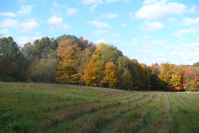
Great Lakes coastal communities are already feeling the impacts of climate variability and change. Communities across the Grand Traverse Bay (GTB) watershed have witnessed changes in lake ice cover, seasonal precipitation, air and lake temperatures, and storm severity.
These changes have occurred against a backdrop of increasing population and urbanization across the watershed. Parallel climate and land use change drivers have altered water sediment, nutrient, toxin, and pathogen fluxes across the GTB watershed. Forecasts suggest that warming temperatures and altered precipitation patterns are likely to accelerate during the 21st century, which threatens economically and ecologically vital uses of the GTB and its contributing waters.
We propose to conduct an Integrated Assessment (IA) of vulnerabilities and risks of climate variability and change to the GTB. The IA will consist of parallel and intersecting tracks of stakeholder engagement through interactive workshops and technical assessments conducted by an interdisciplinary team from Michigan State University. The team seeks to better inform stakeholders and the scientific community about the vulnerability of the GTB to climate variability and change, and will begin a process of adaptive management that should ultimately improve the capabilities of regional stakeholders to respond to and mitigate the impacts of change.


 ]]>
]]>
The Landscape Hydrology Model (LHM) is a new landscape hydrology simulation suite capable of very large domain, fine resolution modeling. It simulates nearly the entire terrestrial hydrologic cycle with full energy- and water-balance physically-based component modules. LHM incorporates a host of novel components, but integrates fully with the USGS MODFLOW software, and allows existing MODFLOW simulations to run with little modification.
Structure
LHM is written primarily in MATLAB, with a number of ArcGIS interface modules written in Python. It is coupled with MODFLOW using a pass-to-disk coupling, which requires a slight modification of the MODFLOW source code. Currently, the plan is to migrate fully to Python within the next year, as Python provides a much more robust development environment, and greater possibilities for GUI front end development.
Release
LHM is currently nearing public release. If you are interested in previewing the software, or collaborating on its development, contact Anthony Kendall. The software and all associated model development tools will be released under an open source license. It is the intention of the developers that LHM be adopted by the broader community as a tool for landscape hydrologic simulations at a variety of spatial scales.
Developers
LHM was developed at Michigan State University primarily by Anthony Kendall and Dr. David Hyndman. The work of students including Dushmantha Jayawickreme, Nicklaus Welty, and Cheryl Kendall was critical to the development of earlier versions of the software.
Related Publications:
- Wiley, MJ, DW Hyndman, BC Pijanowski, AD Kendall, C Riseng, ES Rutherford, ST Cheng, ML Carlson, JA Tyler, RJ Stevenson, PJ Steen, PW Seelbach, JM Koches, and RR Rediske, (2010), A multi-modeling approach to evaluating climate and land use change impacts in a Great Lakes River Basin, Hydrobiologia, doi: 10.1007/s10750-010-0239-2
- Hyndman, DW, AD Kendall, and NRH Welty, (2007), Evaluating Temporal and Spatial Variations in Recharge and Streamflow Using the Landscape Hydrology Model (LHM), Subsurface Hydrology: Data Integration for Properties and Processes, AGU Geophysical Monograph Series 171: 121-141
Related Conference Abstracts:
- Kendall, A, JA Bernstein, and DW Hyndman, (2007), Improving Regional Groundwater Recharge Models With A Network Of High-Resolution Temperature Recording Buttons, Geological Society of America, Abstracts with Programs
- Kendall, AD, and DW Hyndman, (2007), Simulating Fluxes Through Large Watersheds Using Remotely Sensed and Ground Based Datasets With the Landscape Hydrology Model LHM, Geological Society of America, Abstracts with Programs

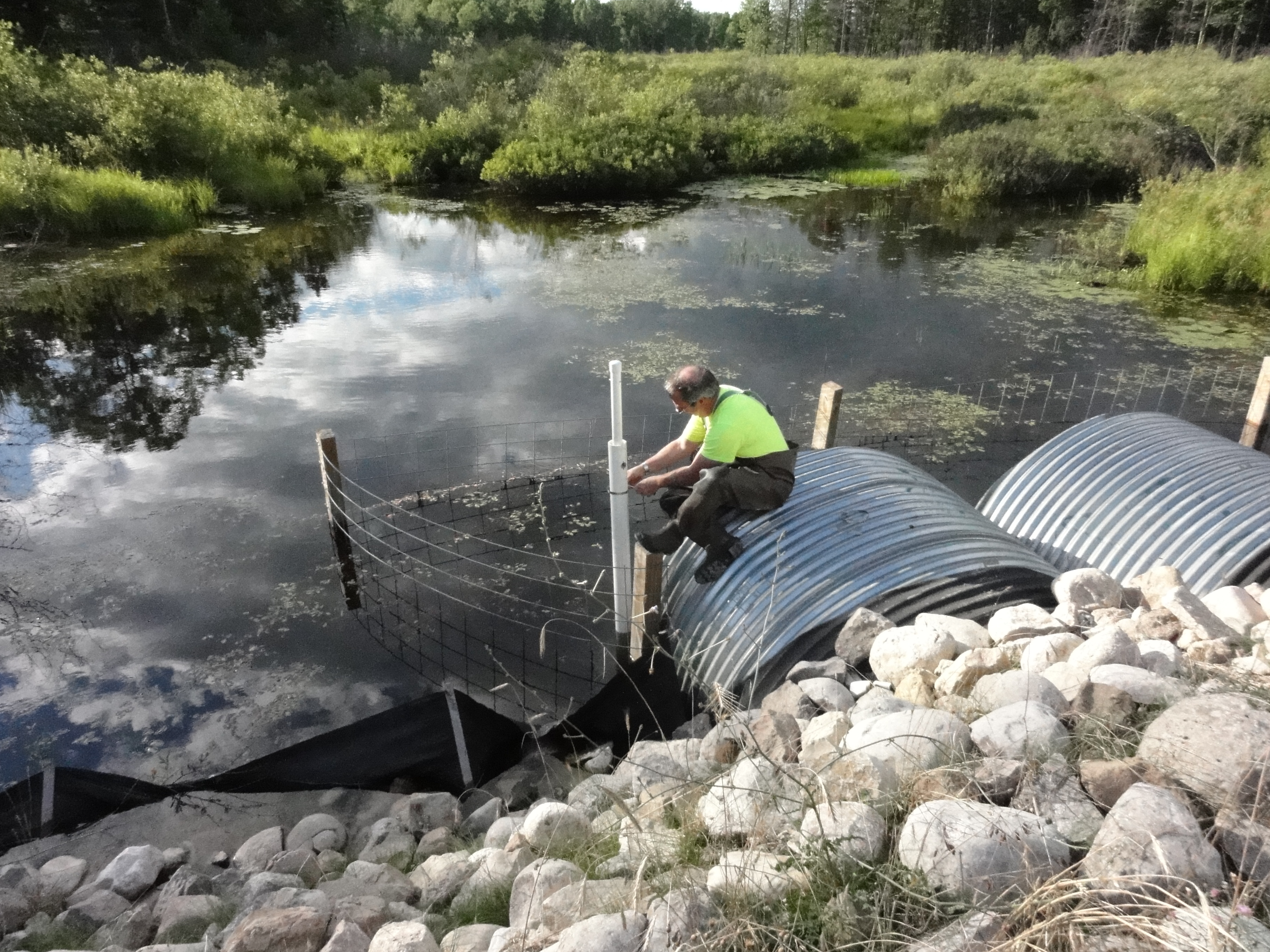
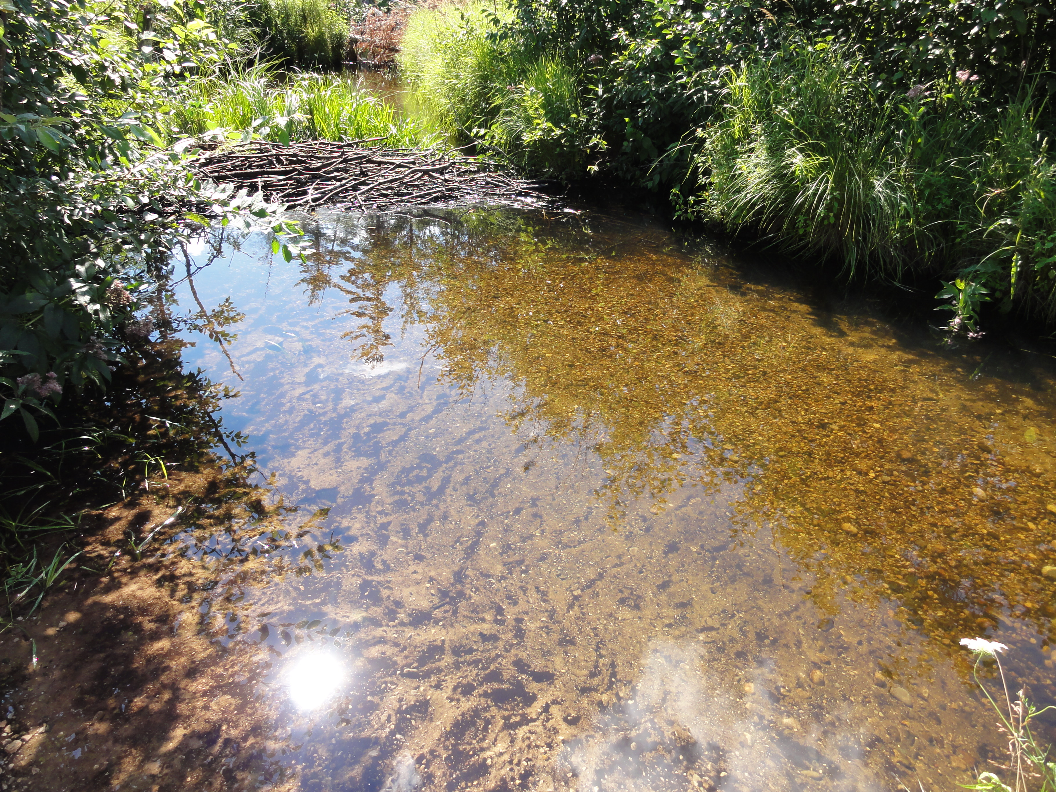
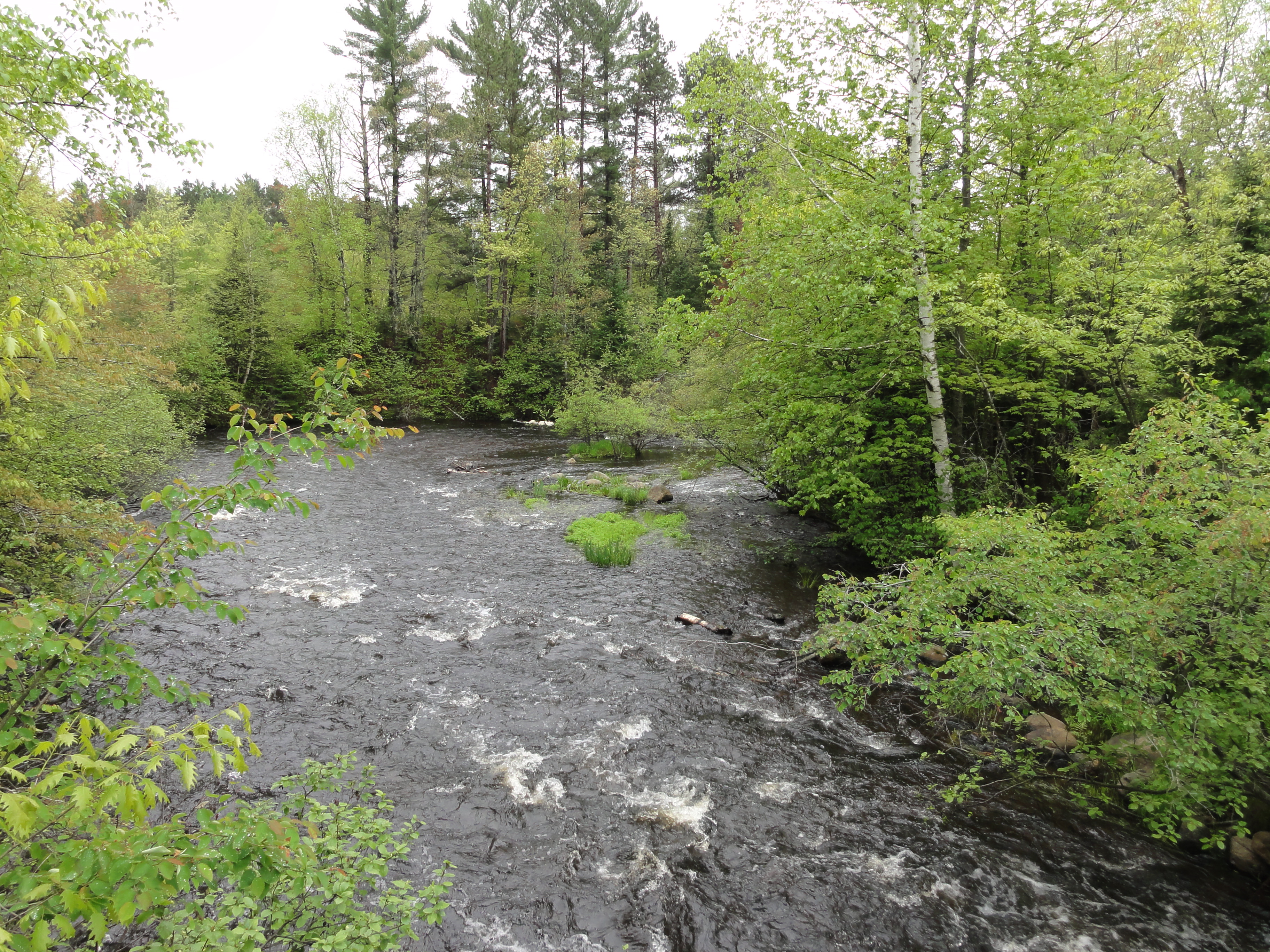
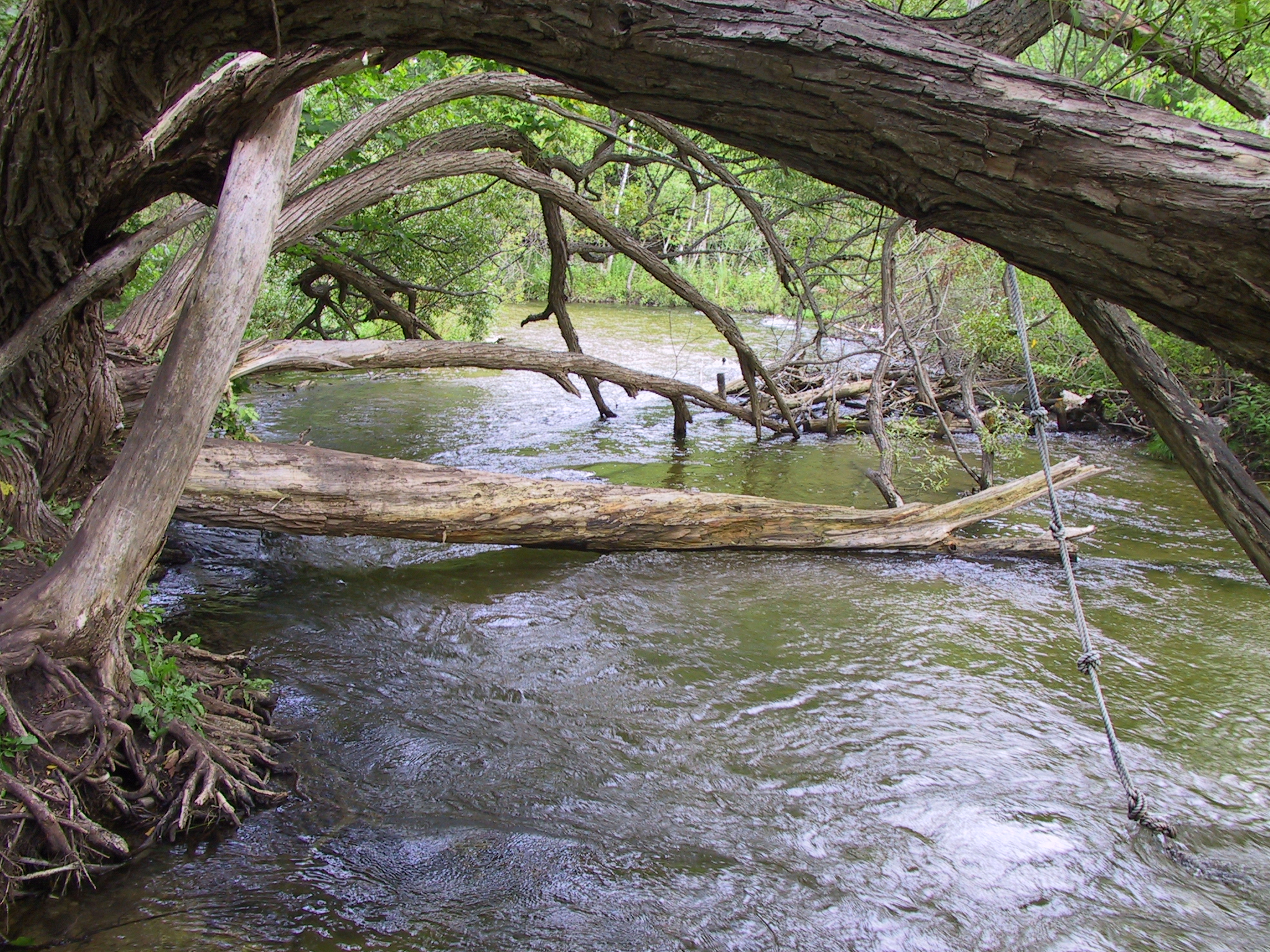
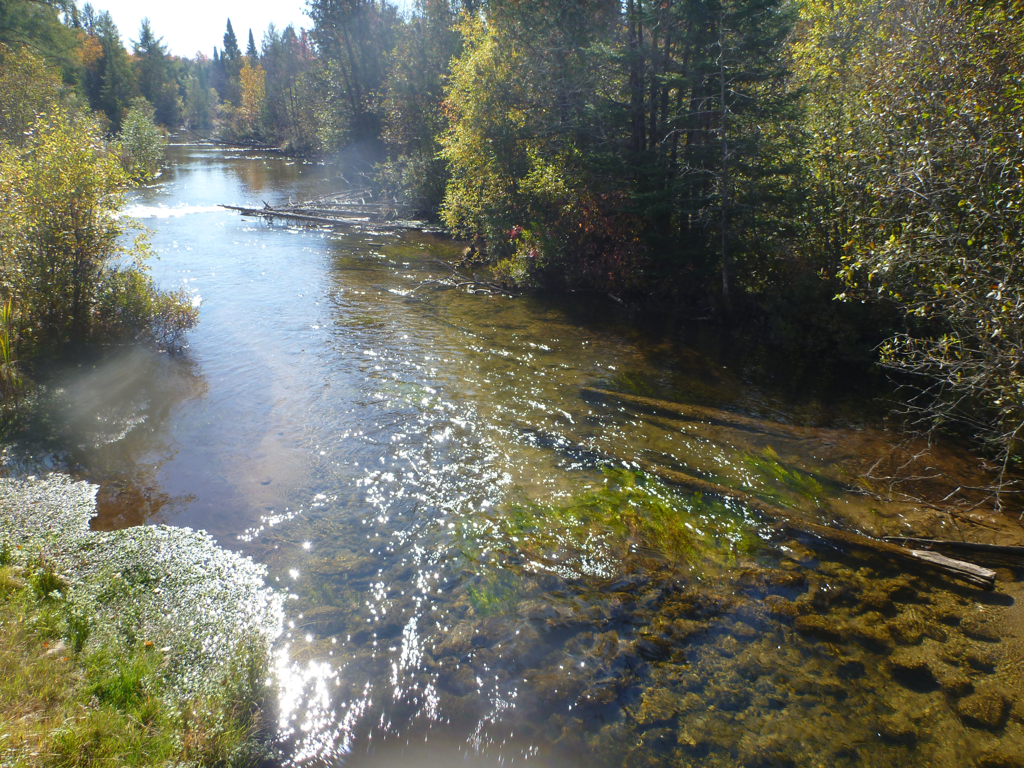
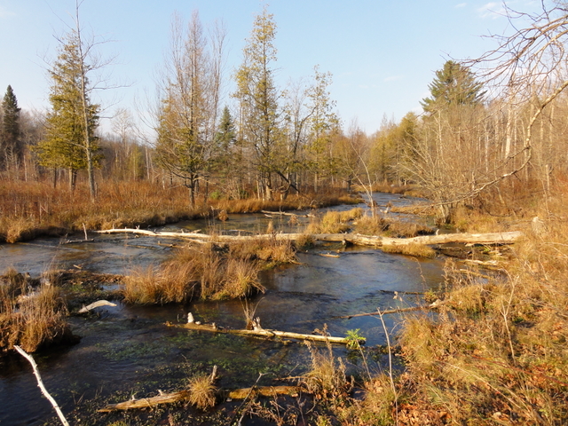
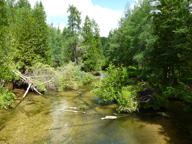
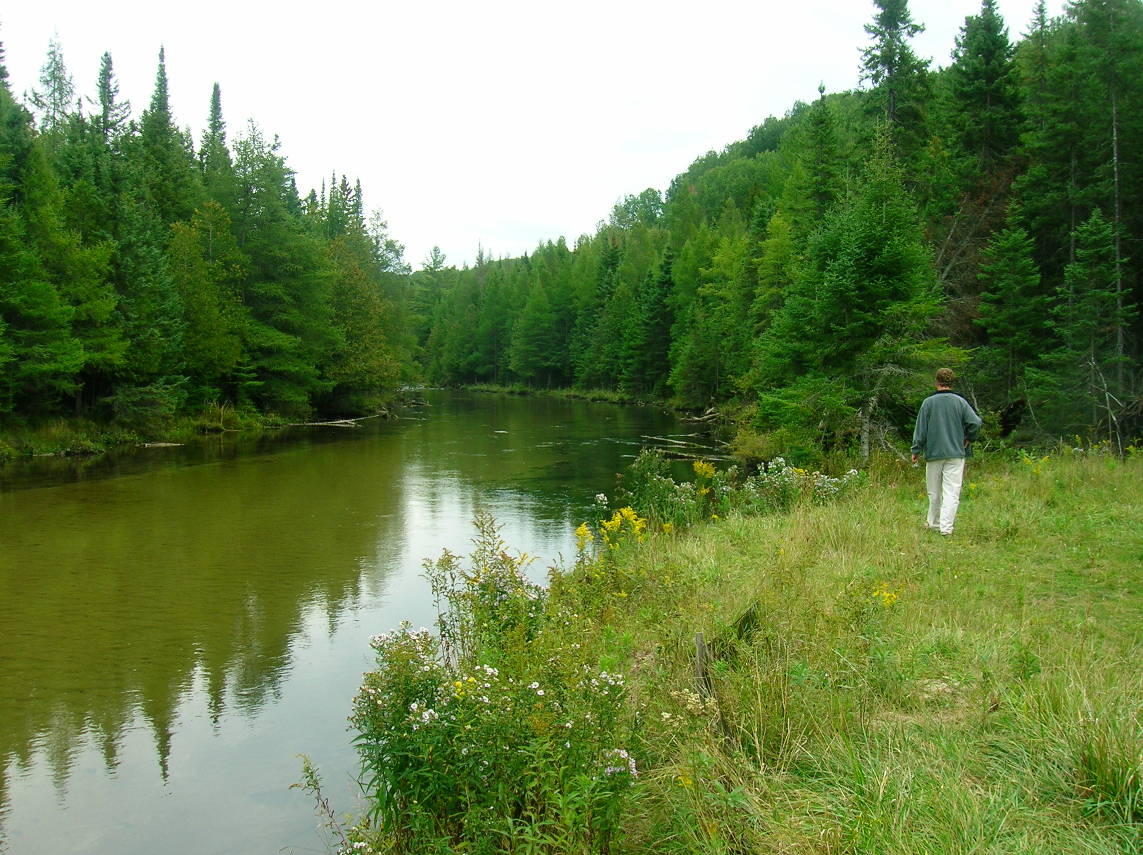
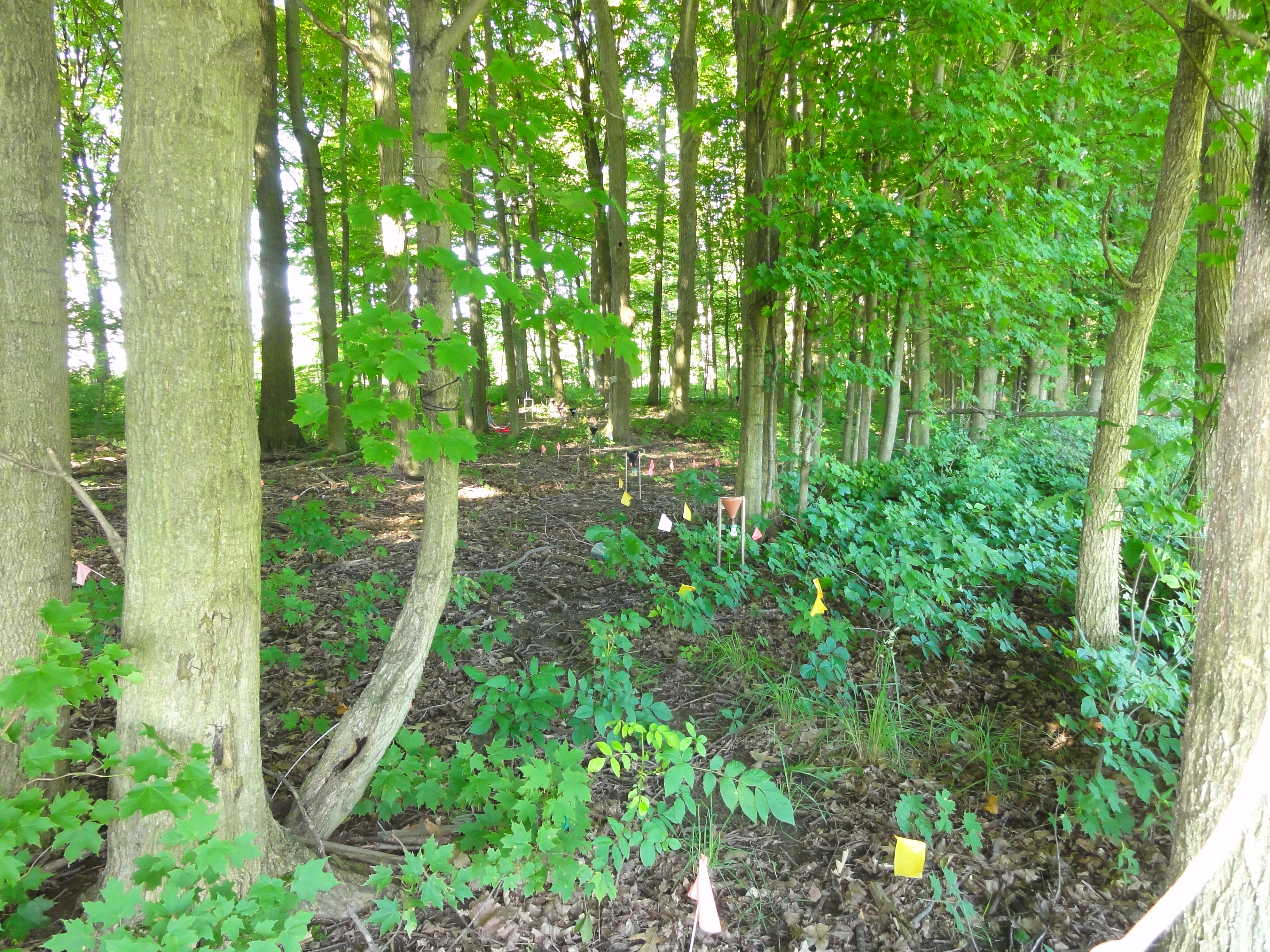
The MSU Hydrogeology Lab has been conducting research in the Jordan River Watershed since 2006. The objective has been to understand the causes and possible solutions to sand accumulation on what had been considered previously to be a primarily gravel-bed stream. The sand is believed to be negatively impacting the fishery of the Jordan River, possibly reducing populations of brown and brook trout in one of Lower Michigan’s premier cold water streams. The work has been funded by the Friends of the Jordan River.
During the course of our research, the Lab has installed a network of stream gauging stations to continuously monitor stream flow and temperature, conducted extensive channel surveys for sediment and flow modeling, surveyed the stream channel with a variety of sophisticated instruments including an Acoustic Doppler Current Profiler (ADCP), survey-grade Global Positioning System (GPS), and both floating and land-based Ground Penetrating Radar (GPR).
Research Products
Presentations to FoJ and Regional Stakeholders
Martin et al. 2010
Jasinski et al. 2012
Photo Albums
Below are a selection from several thousand photographs of the Jordan River and its watershed taken by MSU researchers and students during the course of this project. Stream bank and sediment photos were taken during three float trips down the Jordan River during October 2009, November 2010, and July 2011. Photos of beaver activity are from 2010 and 2011. Others are indicated in their albums below.
The maps below show photos at their proper locations using GPS coordinates. For best viewing, click the magnifying glass and view full-screen. Also, there are in some cases many photos at the same location, to view all of them, click the “Earth” button. This may require that you install the Google Earth plug-in (a link will be provided).
Stream Bank Photos
[xmlgm ngg_gallery=4]
Stream Sediment Photos
[xmlgm ngg_gallery=2]
]]>
 ]]>
]]> ]]>
]]>
Projects:
]]>
We would like to to thank the National Science Foundation for funding this research.
Projects:
]]> ]]>
]]>
We would like to thank the National Science Foundation for funding this research.
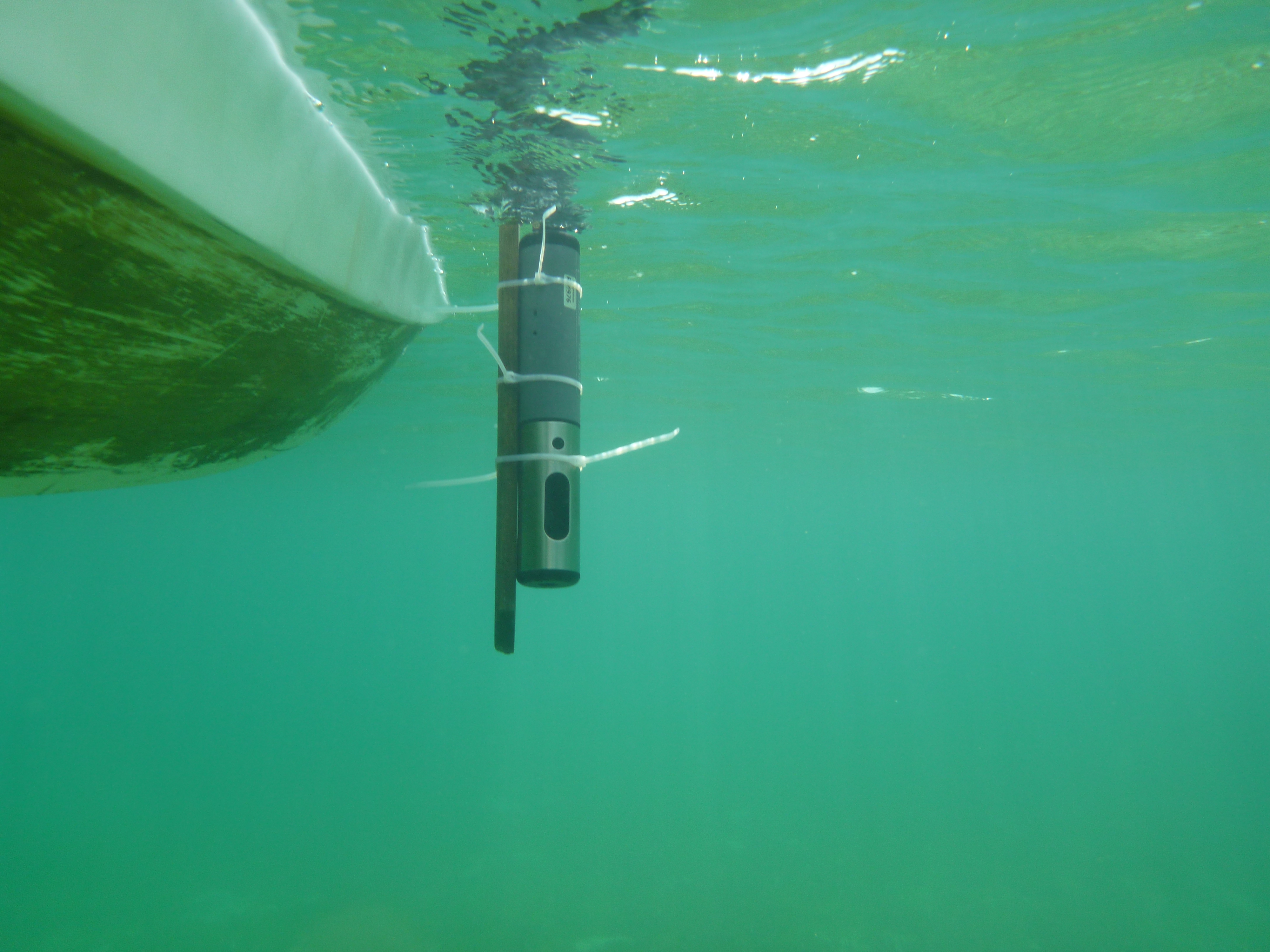
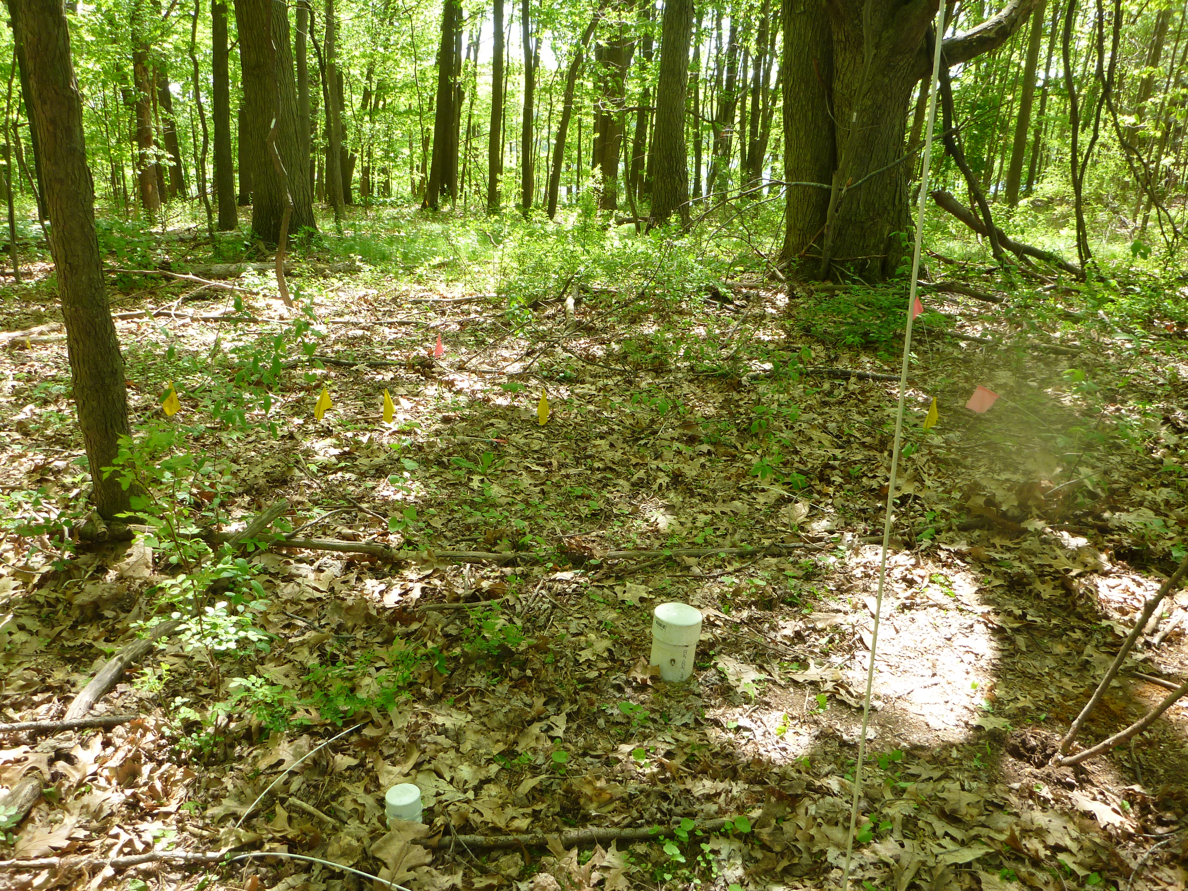
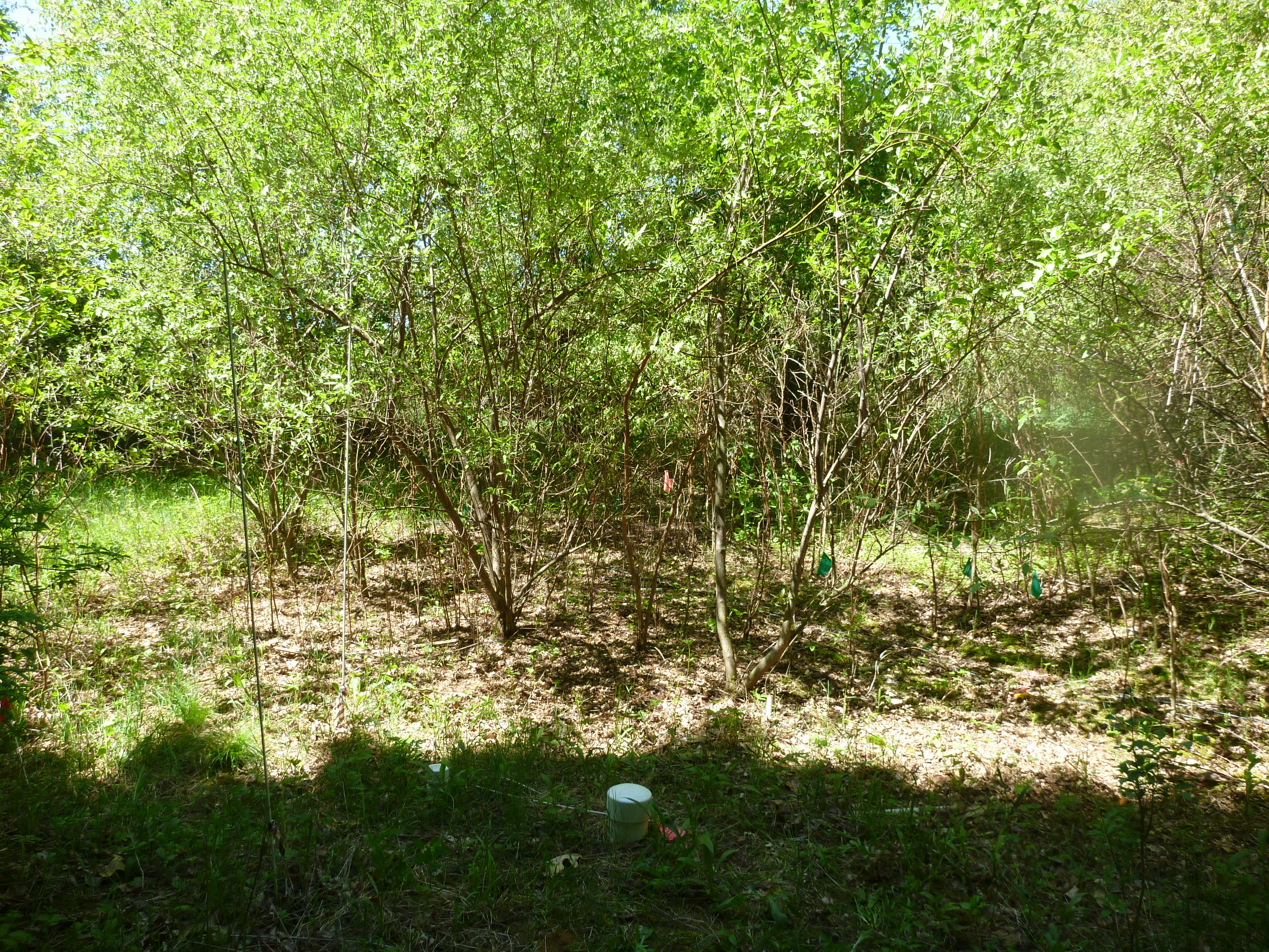
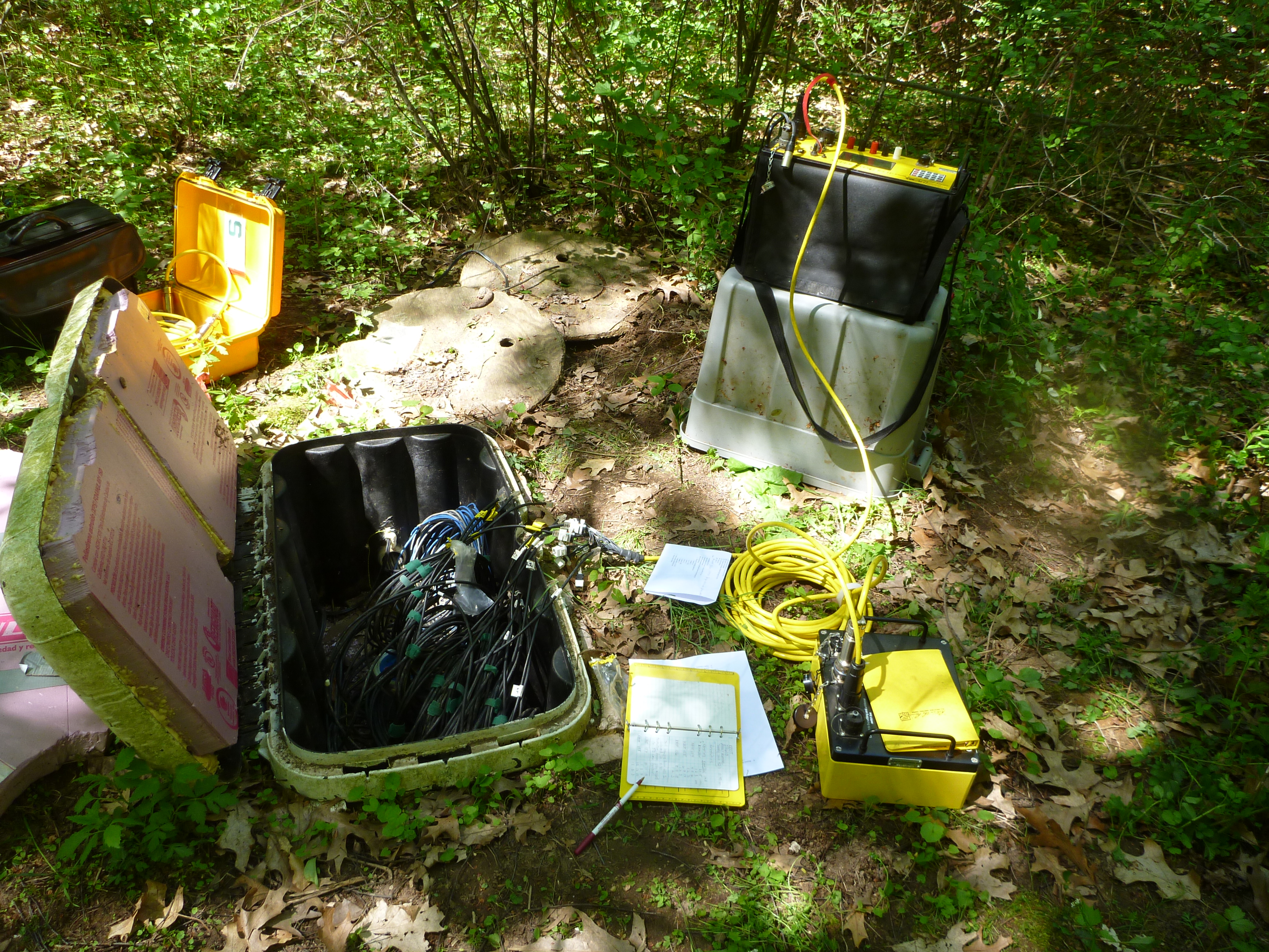
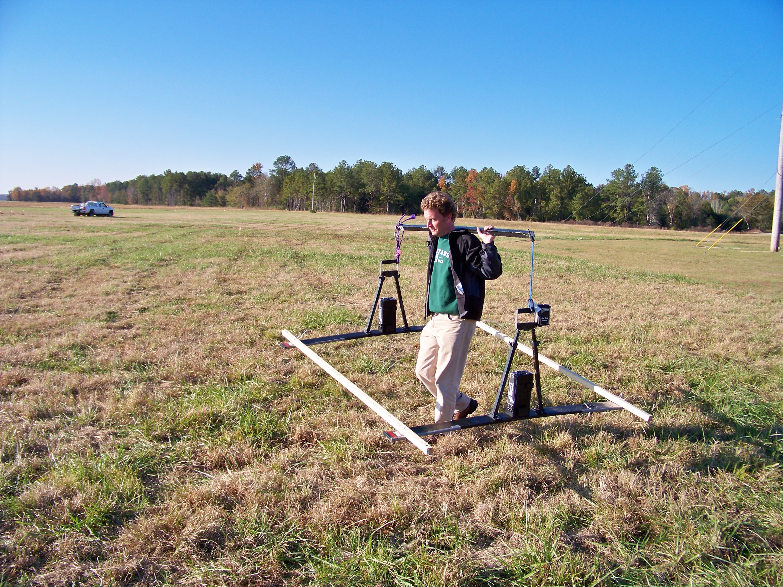
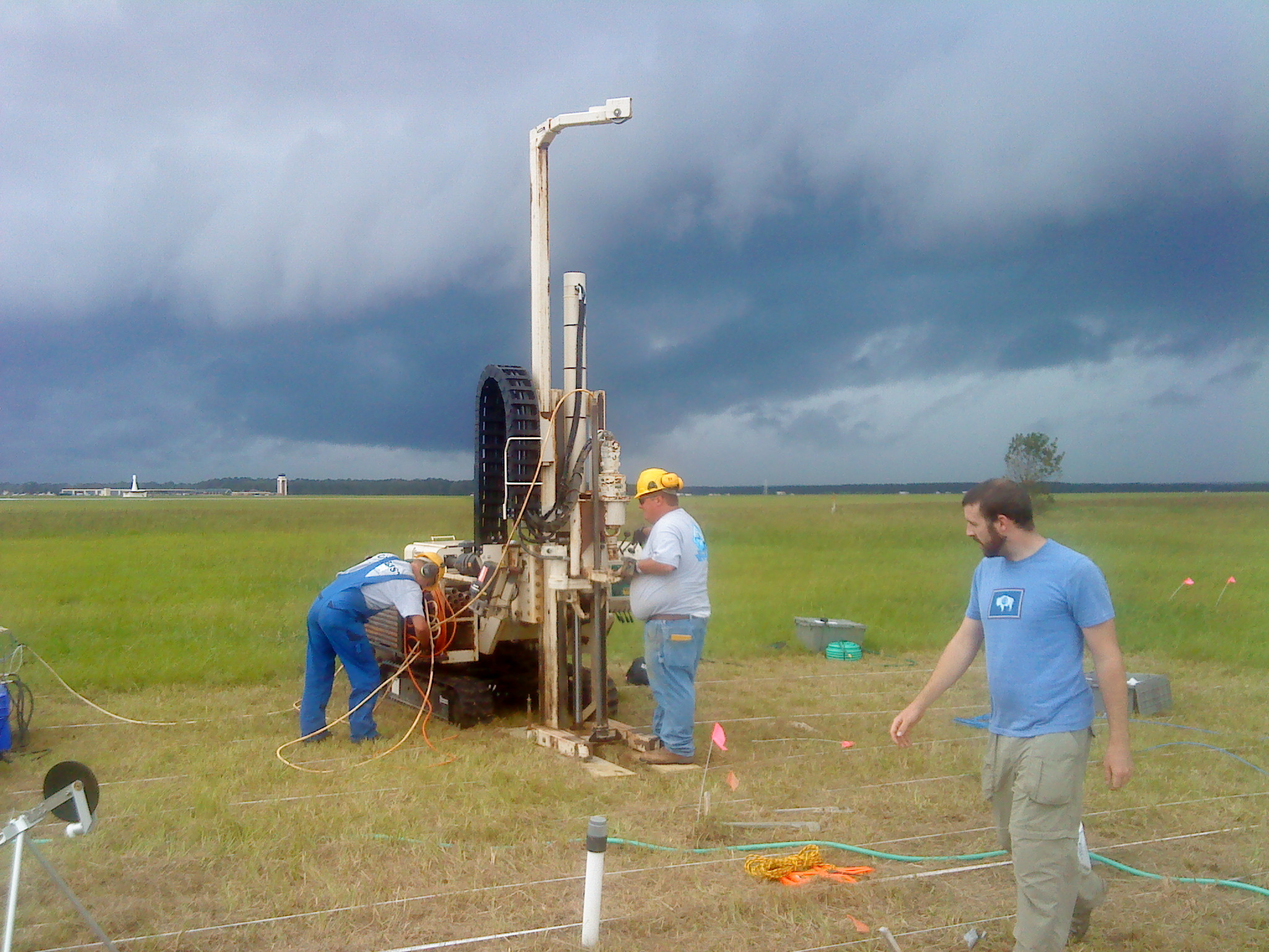
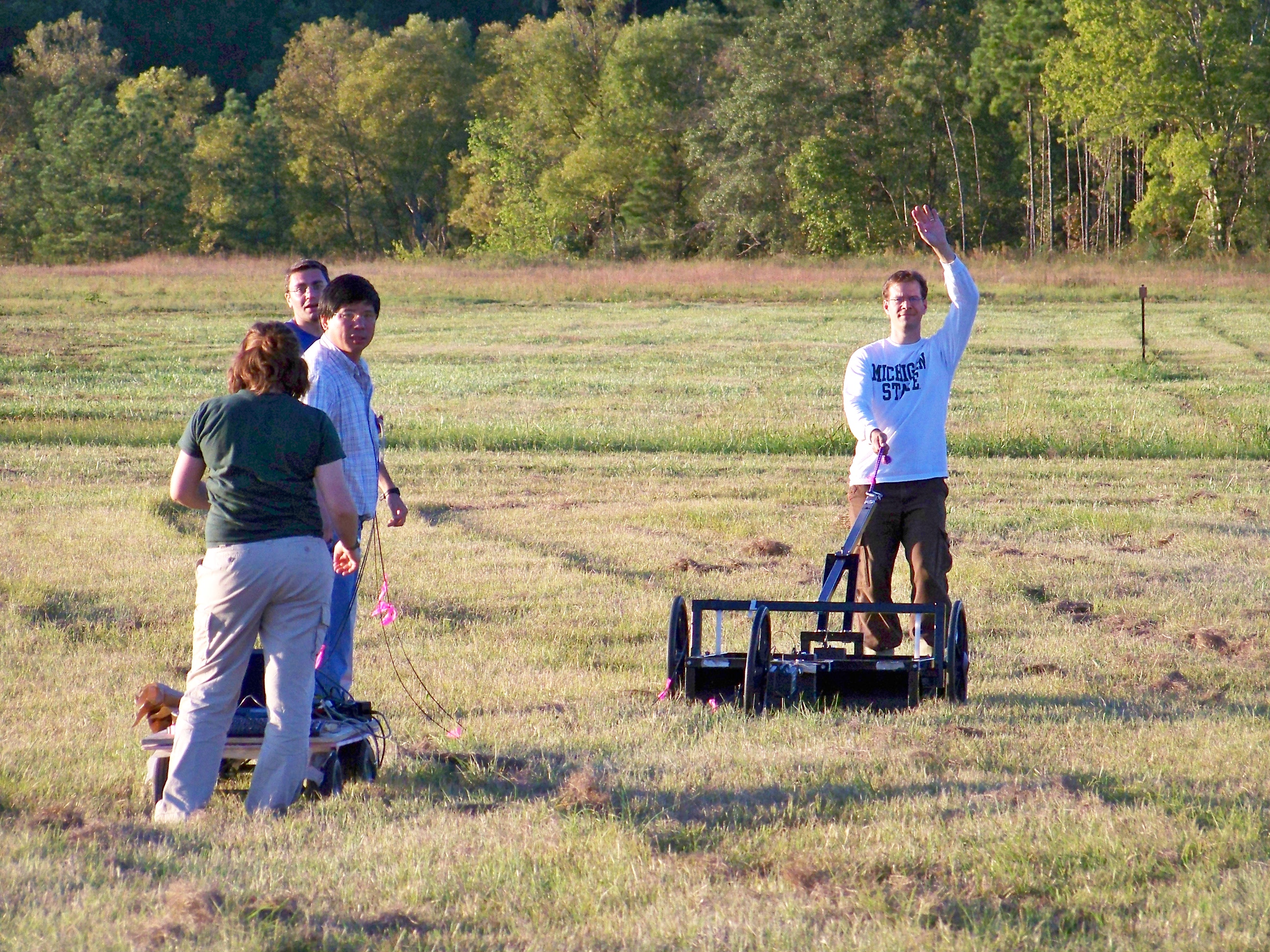
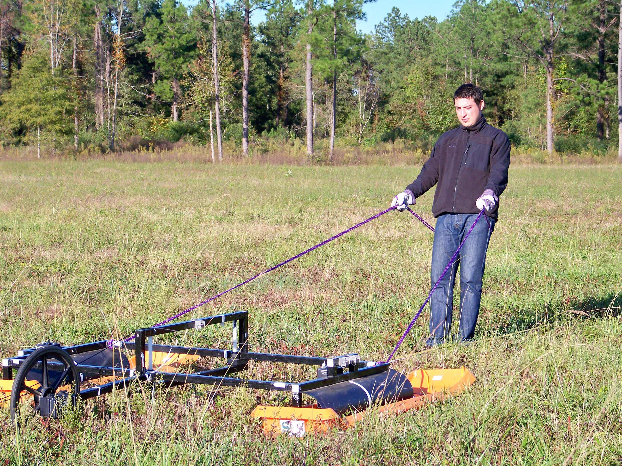
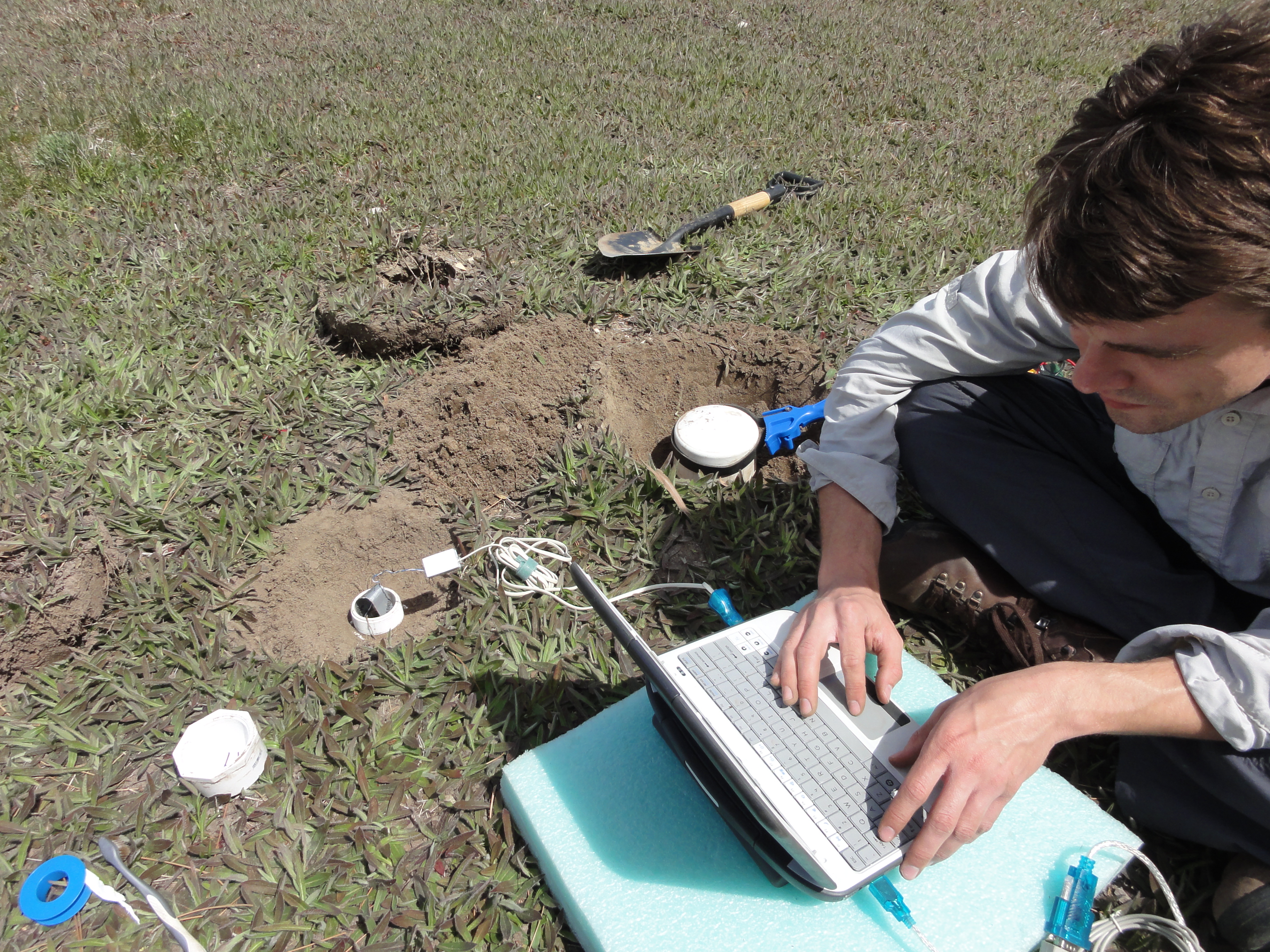
]]> We are using electrical resistivity tomography to image the dynamic nature of soil moisture, and coupling this with high resolution models to better understand transpiration dynamics and unsaturated flow. We are using time-lapse hydrogeophysical tools to characterize soil moisture variability beneath a range of vegetation types. Those tools include 2D and 3D electrical resistivity tomography (ERT), and ground-penetrating radar (GPR).
We will then combine our measurements with detailed site characterization, point measurements of soil temperature and moisture, and numerical models of hydrological and plant processes to quantify root-zone moisture dynamics with an unprecedented level of detail.
Related Publications:
Related Conference Abstracts:
- Jayawickreme, DH, MA Malkowski, RL Van Dam, and DW Hyndman, (2007), Characterizing Long-Term Near-Surface Soil Moisture Variability in Natural Environments using Electrical Resistivity Imaging and Hydrological Modeling, Eos Trans AGU, 88 (52), Fall Meet Suppl, Abstract H11G-02
- Van Dam RL, DH Jayawickreme, and DW Hyndman, (2007), Vadose Zone Resistivity Variations Across a Michigan Ecotone, Geological Society of America, Abstracts with Programs
- Jayawickreme, DH, RL Van Dam, DW Hyndman, (2006), Transient Soil Moisture Characteristics Below Different Land Cover Types: Implications for Quantifying Groundwater Recharge, H13B-1387, Eos Trans AGU
We would like to thank the Friends of the Jordan River Watershed for their continued support for our efforts in the Jordan River Watershed.
]]>
Funding agencies: NOAA Sea Grant program; NSF Multi-Scale Modeling and Monitoring
Projects:
]]>
Projects:
]]>
 ]]>
]]>
Projects:
]]>
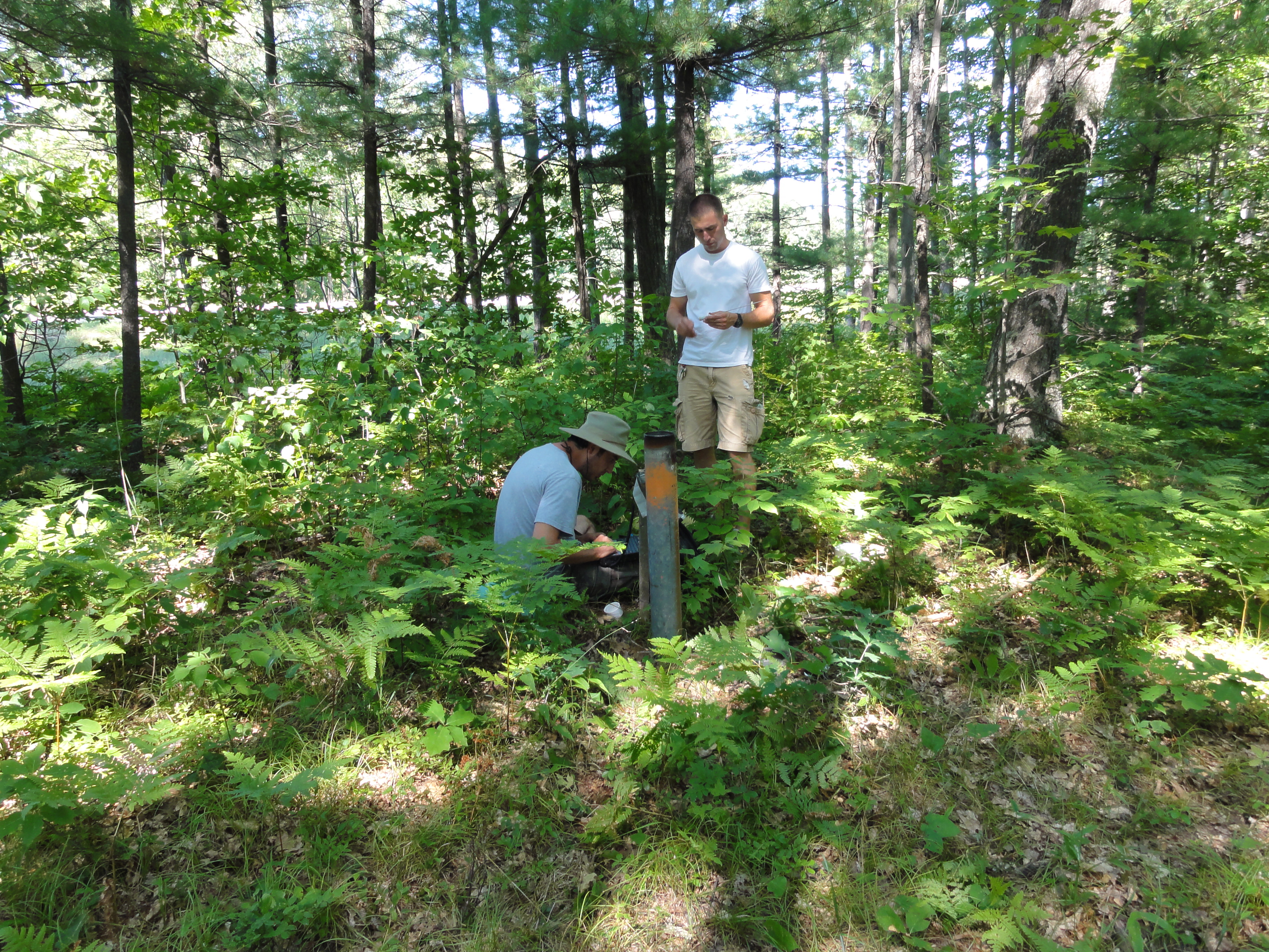
We have developed a novel hydrologic process model called the Integrated Landscape Hydrology Model (ILHM), which is a framework of existing and novel codes to simulate the entire hydrologic cycle at large watershed scales. ILHM is capable of modeling all the major surface and near-surface hydrologic processes including evapotranspiration, groundwater recharge, and stream discharge. In the first published application of the model, the ILHM-modeled stream flows compared favorably with measured data with a minimum of parameter calibration. It was tested for a small watershed (~130 square kilometers) in Michigan, and is currently being applied to much larger domains.

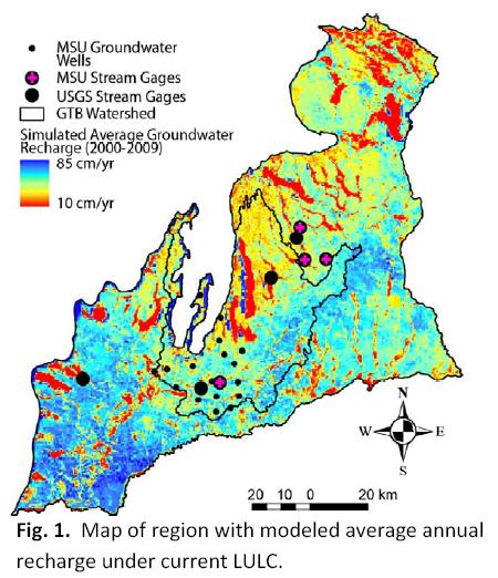
The figure on the left shows average simulated groundwater recharge over a 27 year period (1980-2006) for the Muskegon River Watershed in central lower Michigan. Calculated groundwater recharge values vary as much as 50% across the watershed within similar land use classes. Recharge also varies significantly between land use types.
The primary ILHM code is written in the MATLAB computing environment with some routines coded in C and FORTRAN. GIS inputs in a variety of formats can be used. Time-series inputs and parameter values are stored in MySQL, and model outputs are written to disk in HDF5 format.
Understanding dynamic watershed processes requires high spatial and temporal resolution simulations coupled to extensive databases of groundwater levels and stream flows. Our groundwater flow simulations are being integrated into a suite of tools to better understand the influence of land use and climate changes on water flows, nutrient fluxes to streams, and the health of aquatic ecosystems.
Related Publications:
- Wiley, M., B. Pijanowski, R. Stevenson, P. Seelbach, P. Richards, C. Riseng, D. Hyndman, and J. Koches, (2008), Integrated Modeling of the Muskegon River: Ecological Risk Assessment in a Great Lakes Watershed. In “Wetland and Water Resource Modeling and Assessment: A Watershed Perspective”, CRC Press.
- Stevenson, R. J., M. J. Wiley, S. H. Gage, V. L. Lougheed, C. M. Riseng, P. Bonnell, T. M. Burton, R. A. Hough, D. W. Hyndman, J. K. Koches, D. T. Long, B. C. Pijanowski, J. Qi, A. D. Steinman, and D. G. Uzarski, (2008), Watershed Science: Essential, Complex, Multidisciplinary and Collaborative. In “Wetland and Water Resource Modeling and Assessment: A Watershed Perspective”, CRC Press.
- Hyndman, DW, AD Kendall, and NRH Welty, (2007), Evaluating Temporal and Spatial Variations in Recharge and Streamflow Using the Integrated Landscape Hydrology Model (ILHM), AGU Monograph, Data Integration in Subsurface Hydrology
- Kendall, AD, and DW Hyndman, (2007), Examining Watershed Processes Using Spectral Analysis of Hydrologic Time Series, AGU Monograph, Data Integration in Subsurface Hydrology
- Jayawickreme, DH, and DW Hyndman, (2007), Evaluating the Influence of Land Cover on Seasonal Water Budgets Using Next Generation Radar (NEXRAD) Rainfall and Streamflow Data, Water Resources Research, 43, W02408
Related Conference Abstracts:
- Kendall, AD, and DW Hyndman, (2007), Simulating Fluxes Through Large Watersheds Using Remotely Sensed and Ground Based Datasets With the Integrated Landscape Hydrology Model ILHM, Geological Society of America, Abstracts with Programs
- Kendall, A, JA Bernstein, and DW Hyndman, (2007), Improving Regional Groundwater Recharge Models With A Network Of High-Resolution Temperature Recording Buttons, Geological Society of America, Abstracts with Programs
- Hyndman, DW, AD Kendall, (2006), The Integrated Landscape Hydrology Model (ILHM), a Fully-Distributed Approach to Simulate Regional Watershed Hydrologic Processes, H11A-1234, Eos Trans AGU
- Kendall, AD, DW Hyndman, (2006), Predicting Streamflow, Groundwater Recharge, and Evapotranspiration at the Regional Scale with the Integrated Landscape Hydrology Model (ILHM), H31H-06, Eos Trans AGU
 Related Publications:
]]>
Related Publications:
]]> Solute transport through heterogeneous environments is often poorly understood because of inadequate definition of aquifer stresses and boundary conditions. One approach to address these concerns is to transport a large, minimally disturbed, highly heterogeneous aquifer mesocosm to a controlled laboratory setting. This approach will bridge the gap between small-scale laboratory studies and large-scale field studies.
]]>
Solute transport through heterogeneous environments is often poorly understood because of inadequate definition of aquifer stresses and boundary conditions. One approach to address these concerns is to transport a large, minimally disturbed, highly heterogeneous aquifer mesocosm to a controlled laboratory setting. This approach will bridge the gap between small-scale laboratory studies and large-scale field studies.
]]> Ground water chemistry is reflective of time-weighted averages of anthropogenic inputs originating from spatial and temporal patterns of land use. We developed an approach to examine potential relationships between land use-derived solutes and baseflow surface water quality using regional ground water and solute transport models linked to GIS. Our first test of this approach estimated chloride concentrations in surface water due to road salt transport through ground water in Michigan’s Grand Traverse Bay watershed.
Further development of watershed-scale groundwater flow and transport models has been undertaken to examine the impacts of various land uses on nitrate concentrations. In Michigan, streams are predominantly groundwater-fed for much of the year. Therefore, understanding groundwater nitrate concentrations and fluxes is vital to understanding stream water quality. The figure on the left shows a preliminary simulation of total N concentrations in Cedar Creek, a small subwatershed of the Muskegon River in central lower Michigan.
Related Publications:
Wood W.W. and Sanford W.E., 2007, Atmospheric bromine flux from the coastal Abu Dhabi sabkhat: A ground-water mass-balance investigation. Geophysical Research Letters, 34(14).
Tyler S.W., Munoz J.F., and Wood W.W., 2006, The response of playa and sabkha hydraulics and mineralogy to climate forcing. Ground Water, 44(3), 329-338.
Wood W.W., Sanford W.E., and Frape S., 2005, Chemical openness and potential for misinterpretation of the solute environment of coastal sabkhat. Chemical Geology, 215(1-4), 361-372.
Related Conference Abstracts:
]]> Ground-water contamination with volatile organic compounds is a significant national and international problem. Waters containing these contaminants are typically pumped from contaminated aquifers and treated by air stripping or sorption onto activated carbon. These methods are costly, do not destroy the contaminants, may require pumping and disposal of large water volumes, and do not effectively remove contaminants sorbed to the aquifer material.Accordingly, there has been a great deal of interest in alternative treatment strategies, such as enhanced in-situ remediation. Our research group in collaboration with the Departments of Civil and Environmental Engineering and the Center for Microbial Ecology designed and installed a cost-effective biocurtain that is currently being used to remove carbon tetrachloride from an aquifer in Schoolcraft, Michigan. Novel aspects of the design are the use of closely-spaced wells to recirculate solutes through a biocurtain, well screens spanning the vertical extent of contamination, and a semi-passive mode of operation, with only six hours of low-level pumping per week.
Related Publications:
]]> A fundamental issue in aquifer biogeochemistry is the means by which solute transport geochemical processes, and microbiological activity combine to produce spatial and temporal variations in redox zonation. Our Hydrogeology and Hydrogeochemistry groups are examining the temporal variability of TEAP conditions in shallow groundwater contaminated with waste fuel and chlorinated solvents.
Related Publications:
]]> New methods of estimating aquifer properties are needed to improve our understanding of the factors that influence the transport and fate of groundwater contaminants, and to better design remediation systems. Geophysical methods have long been applied to characterize oil reservoirs, while their application to characterize aquifers is much more recent. Our research group is developing a novel set of approaches that combine diverse hydrologic and geophysical data sources to estimate flow and transport properties with the highest resolution possible.
Related Publications:
Bridge, JS and DW Hyndman, (2004), Preface: Aquifer Characterization, SEPM Special
]]>