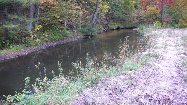
The Cedar Creek hydrological research area is centered on a meander bend of the river, located within the Muskegon Watershed. Water flows from the river channel through the subsurface, to rejoin the channel downstream as the water table once again intersects with the land’s surface. This complex interplay between groundwater and surface water makes this area ideal for studying the behavior of water as it flows through the vadose zone. The landscape around Cedar Creek is a patchwork of unmanaged open and forested lands, a combination that also allows investigation into the effects that land use heterogeneity has on the movement of groundwater and surface water.


