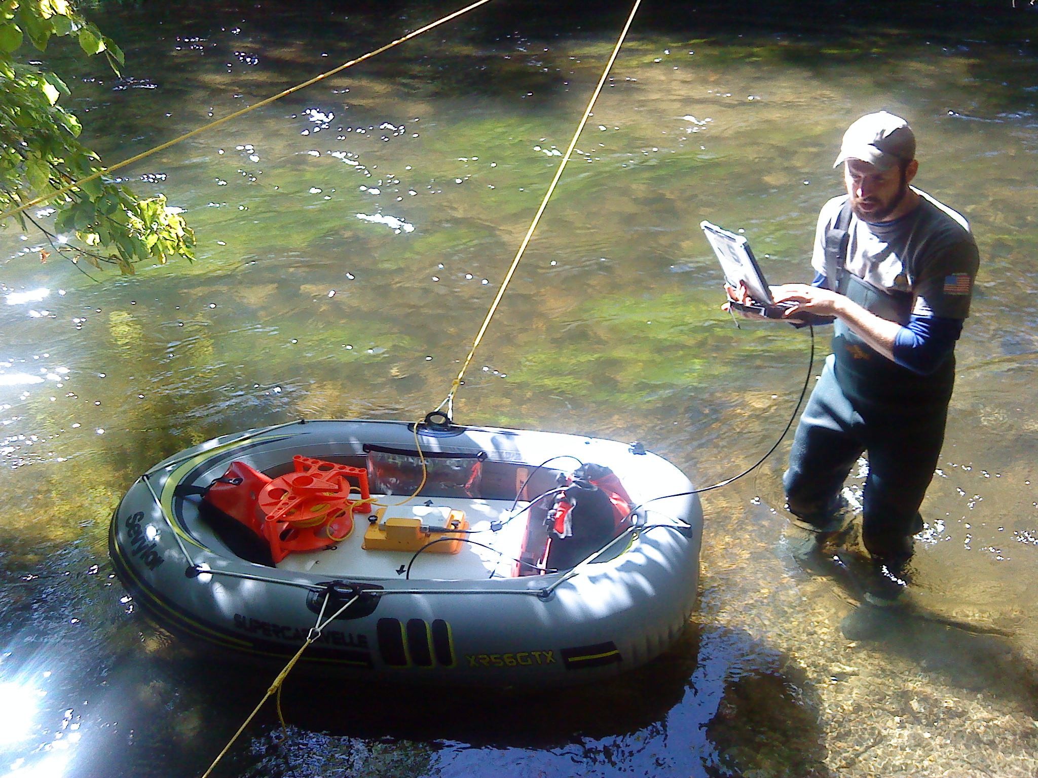
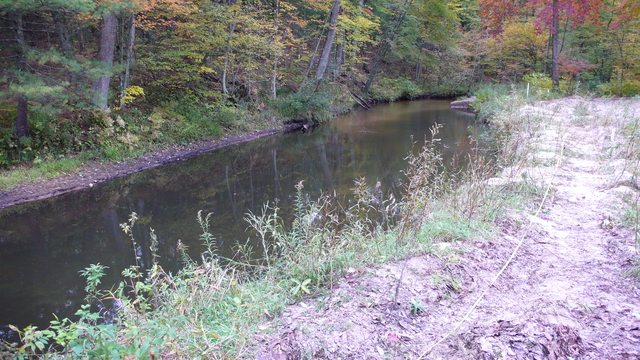
Jordan River Watershed
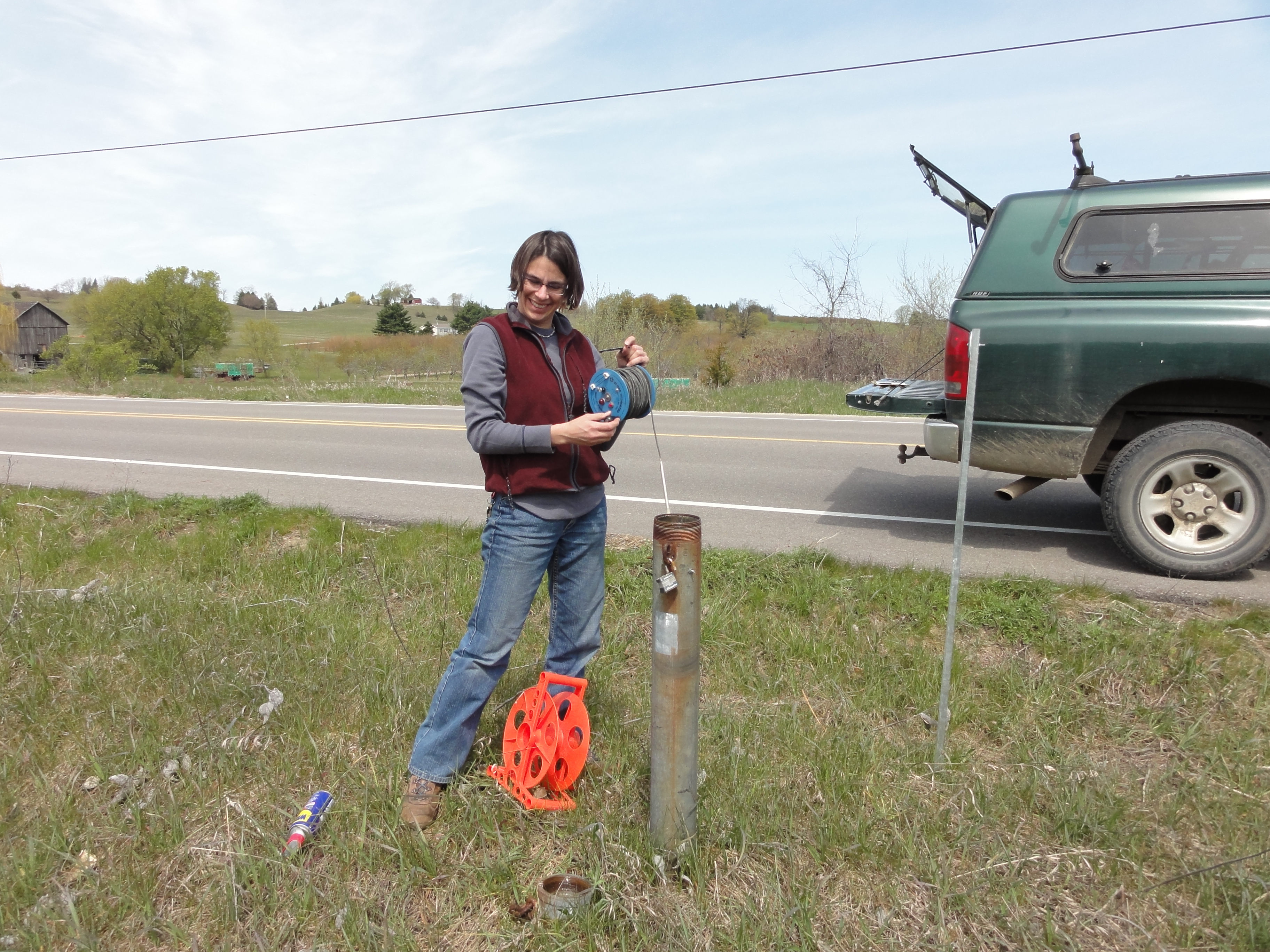
Since 2007, members of the MSU Hydrogeology Lab have collected temperature and flow measurements for the Jordan River, near the northern margin of Michigan’s Lower Peninsula. The three gages in this watershed produce river flow and temperature data every half hour, which is used to calibrate models of sediment transport through the system. The movement of sediment is an important factor in the ecological health of a watershed, and the data gleaned from the Jordan River will inform models that will help us understand the behavior of the watershed in the face of future change.
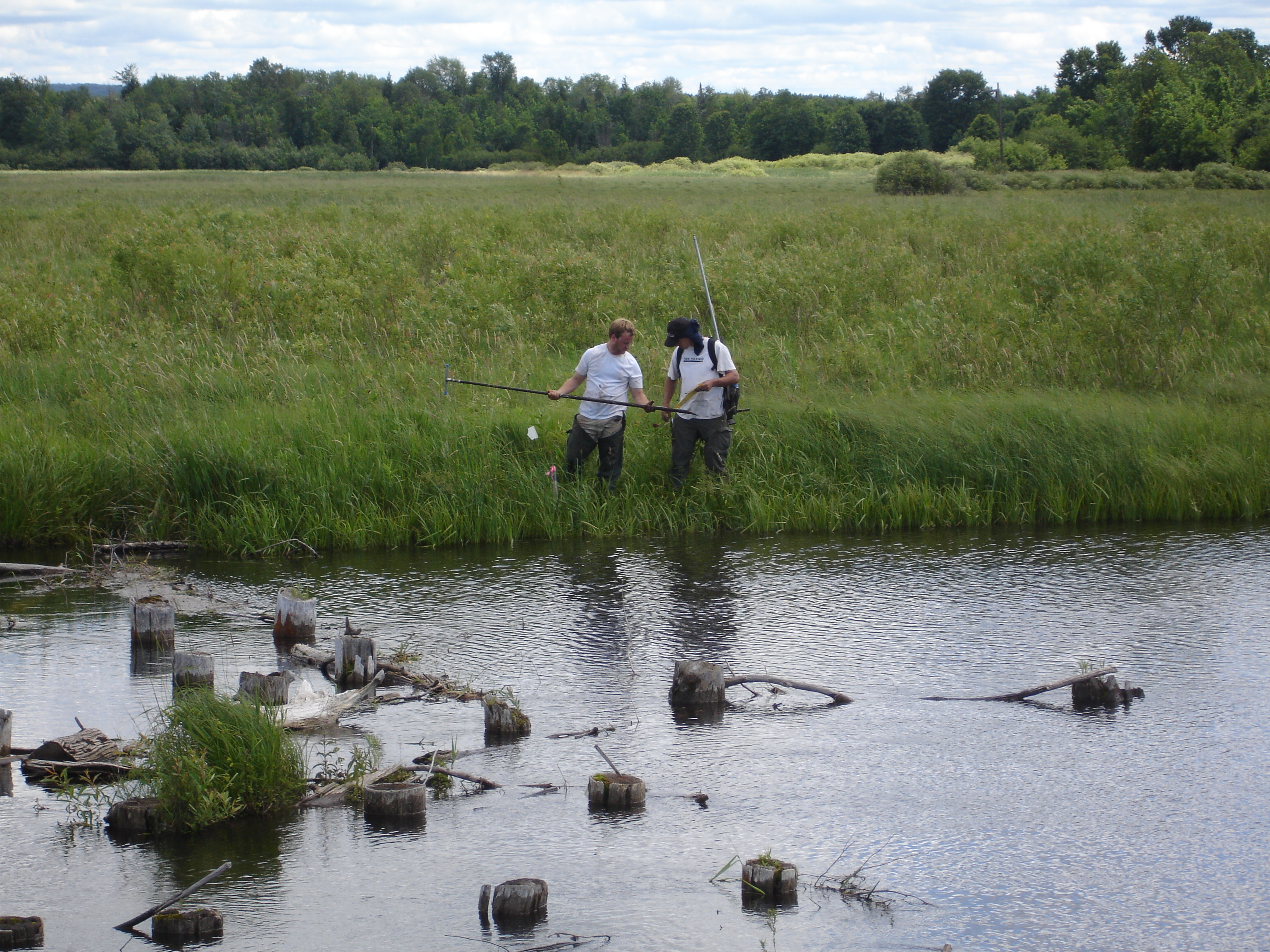
We would like to thank the Friends of the Jordan River Watershed for their continued support for our efforts in the Jordan River Watershed.
Sycamore Creek Watershed
Grand Traverse Bay Watershed
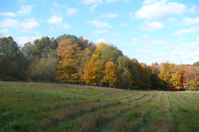
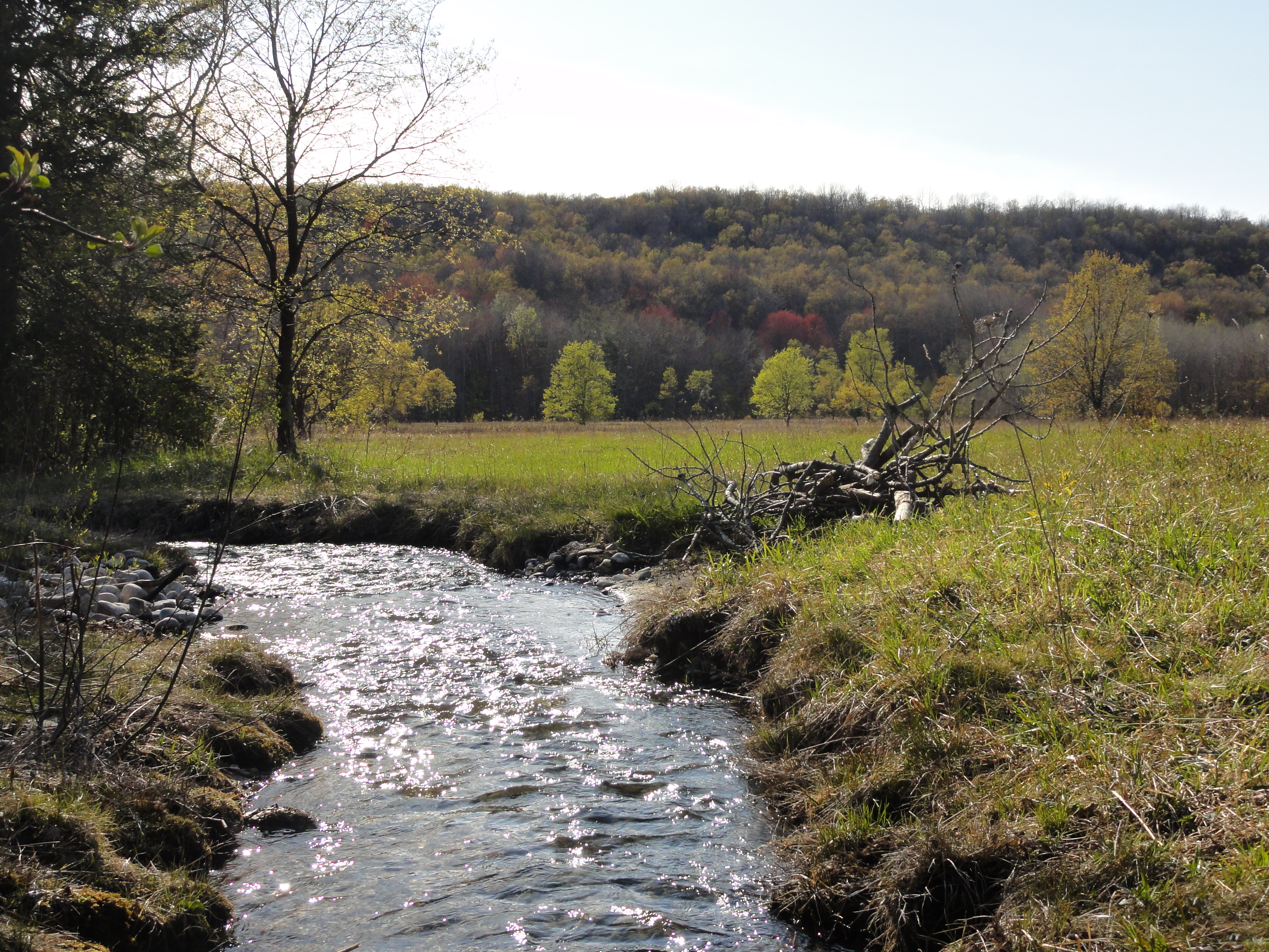
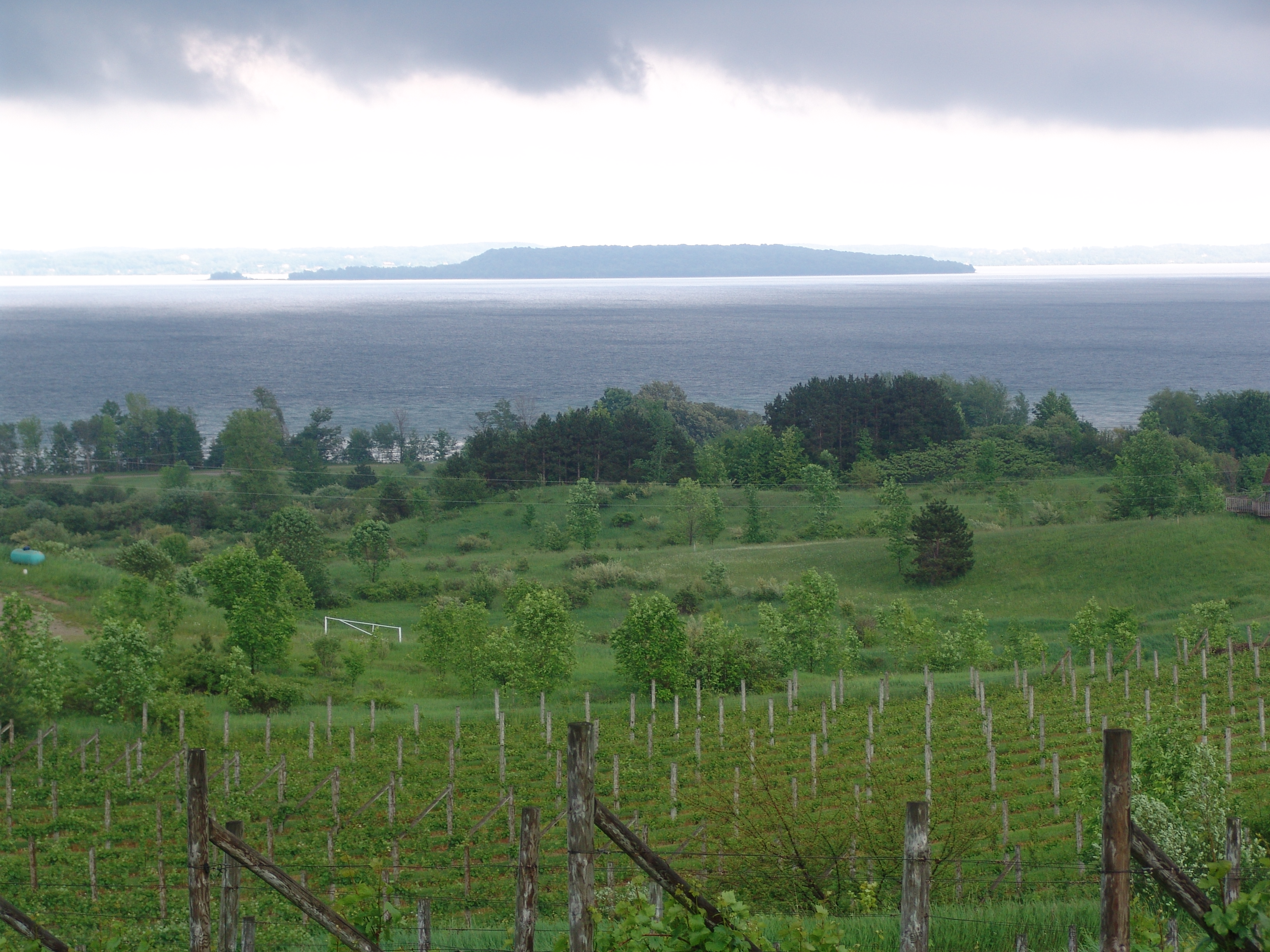
The Grand Traverse Bay Watershed is a coastal watershed on the northeastern margin of Lake Michigan. An important area for agriculture and tourism, the Grand Traverse is currently shifting from a winter snow cover pattern of seasonal snowpack to a regime in which snow cover is ephemeral and event-driven. Historical data for the region indicates that it may be a bellwether for other ecosystems around Lake Michigan, reacting to changes before any signal is observed in other areas along the Great Lakes coastline. The likelihood that climate change will have a large impact on this watershed makes it all the more important as an area of observation, and the long-term monitoring dataset is vital in the development and calibration of hydrologic models to predict future changes in the region.
Funding agencies: NOAA Sea Grant program; NSF Multi-Scale Modeling and Monitoring
Projects:
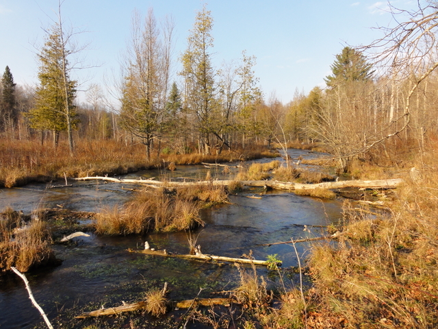
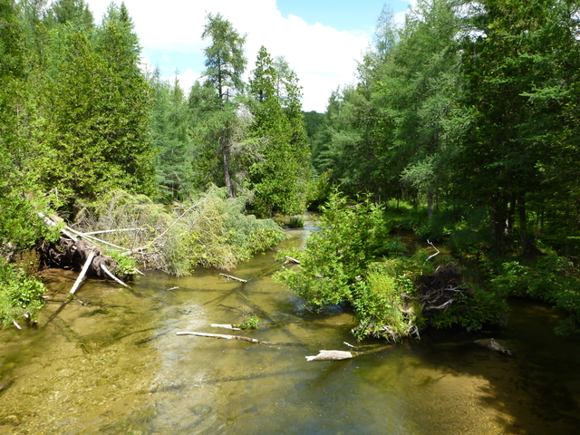
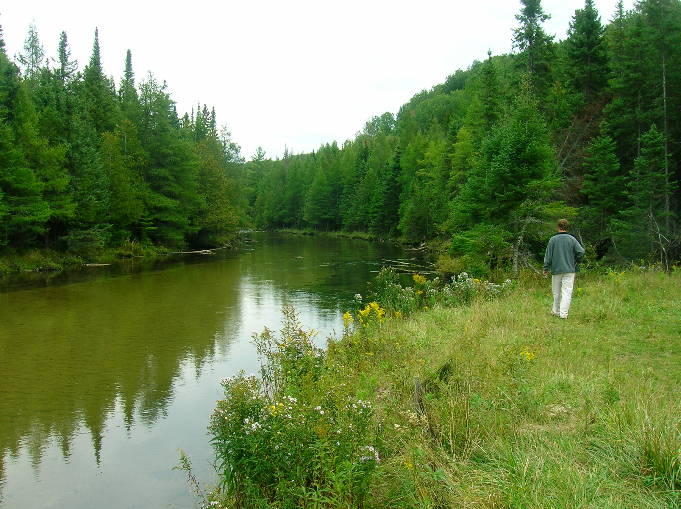
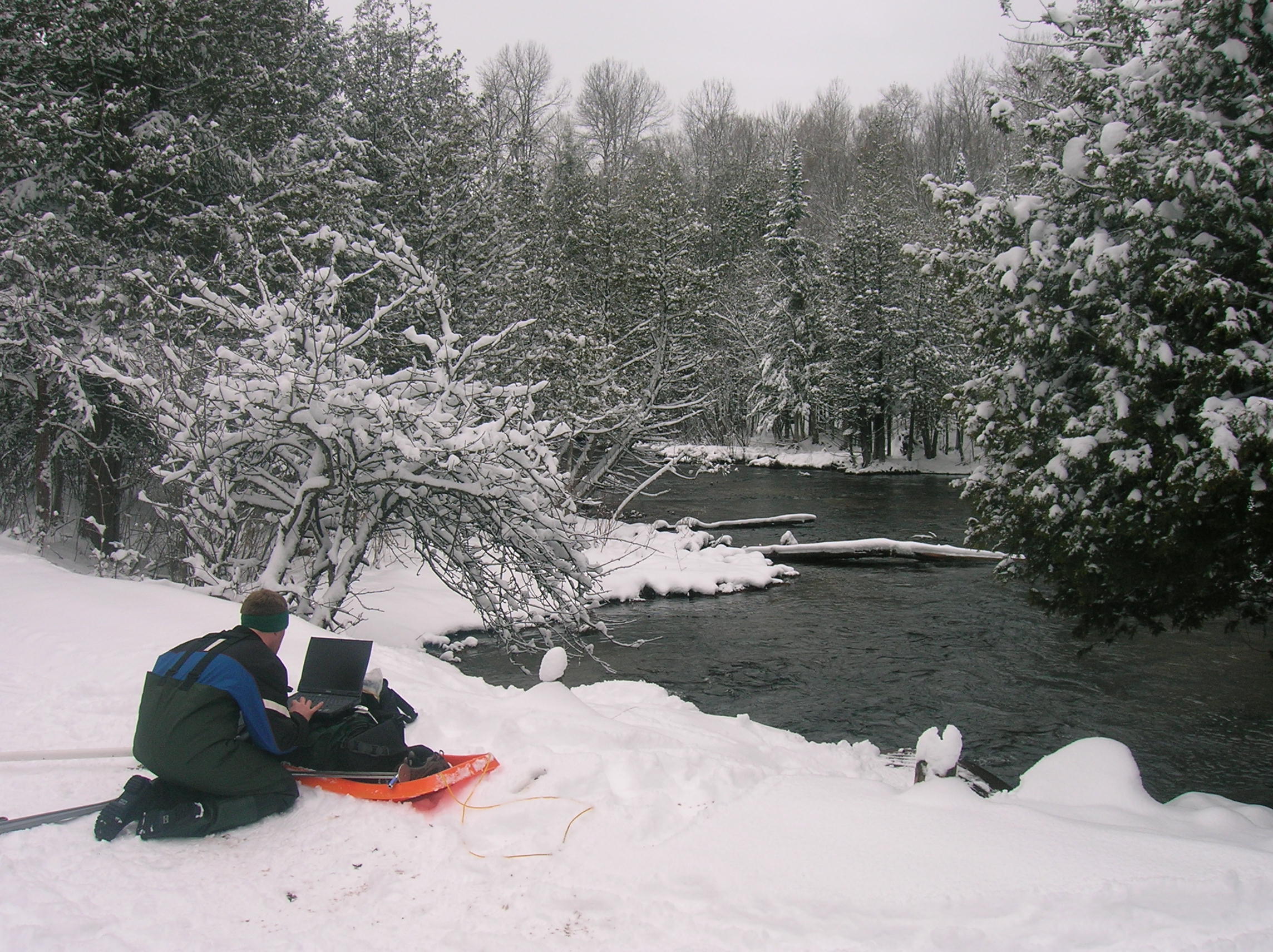
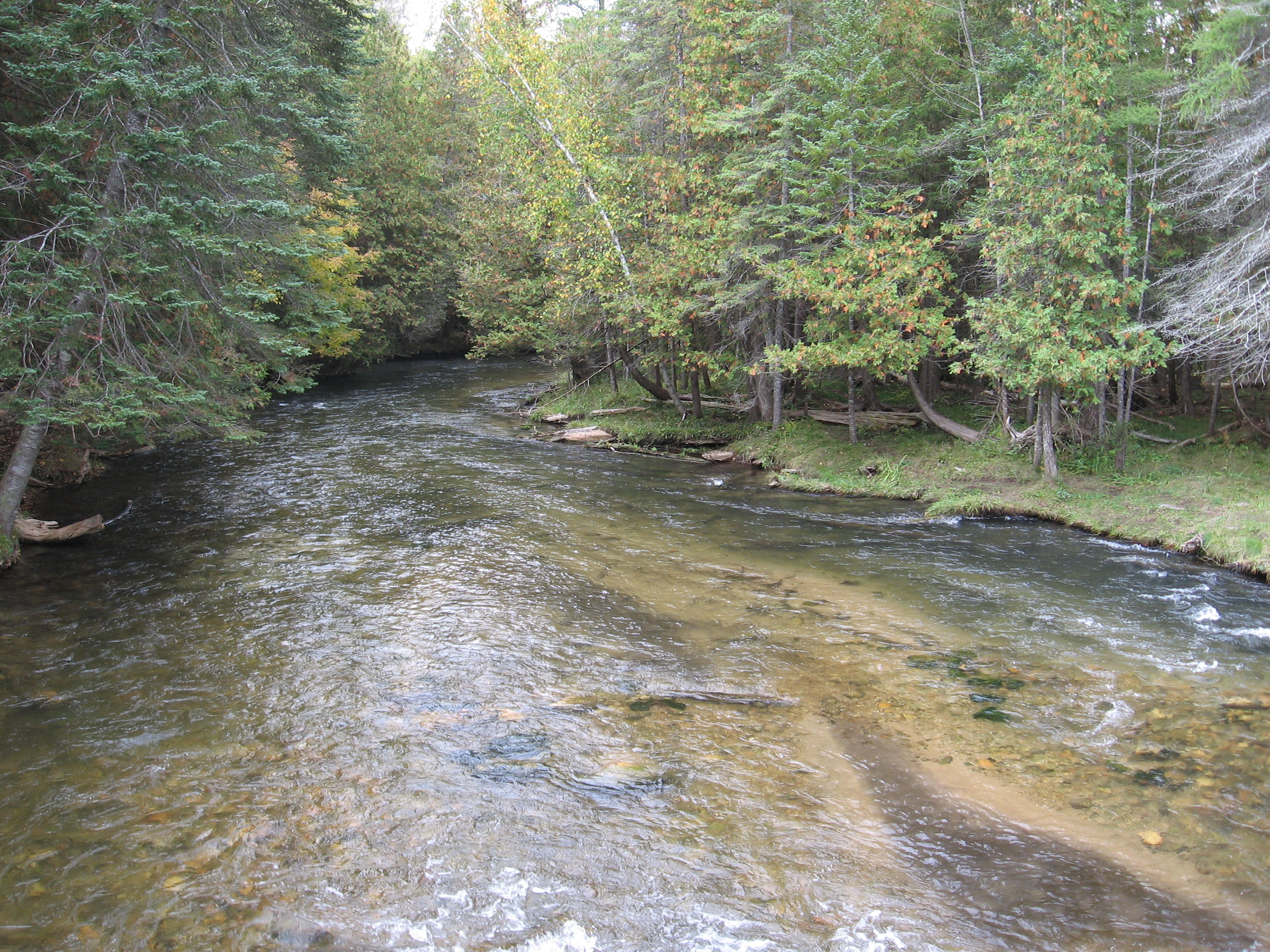
Muskegon River Watershed

Cedar Creek Meander Bend
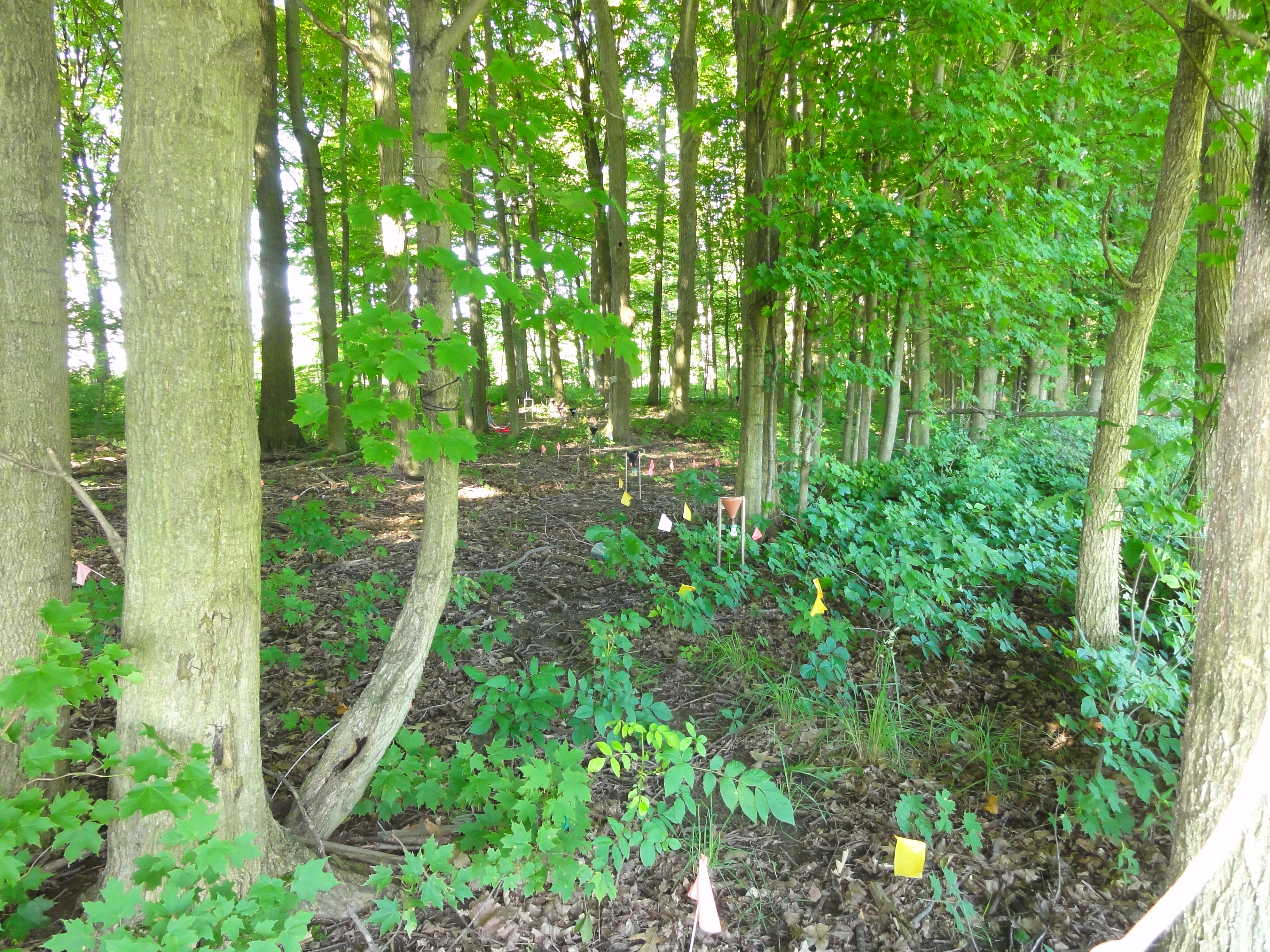
The Cedar Creek hydrological research area is centered on a meander bend of the river, located within the Muskegon Watershed. Water flows from the river channel through the subsurface, to rejoin the channel downstream as the water table once again intersects with the land’s surface. This complex interplay between groundwater and surface water makes this area ideal for studying the behavior of water as it flows through the vadose zone. The landscape around Cedar Creek is a patchwork of unmanaged open and forested lands, a combination that also allows investigation into the effects that land use heterogeneity has on the movement of groundwater and surface water.

Sandhill
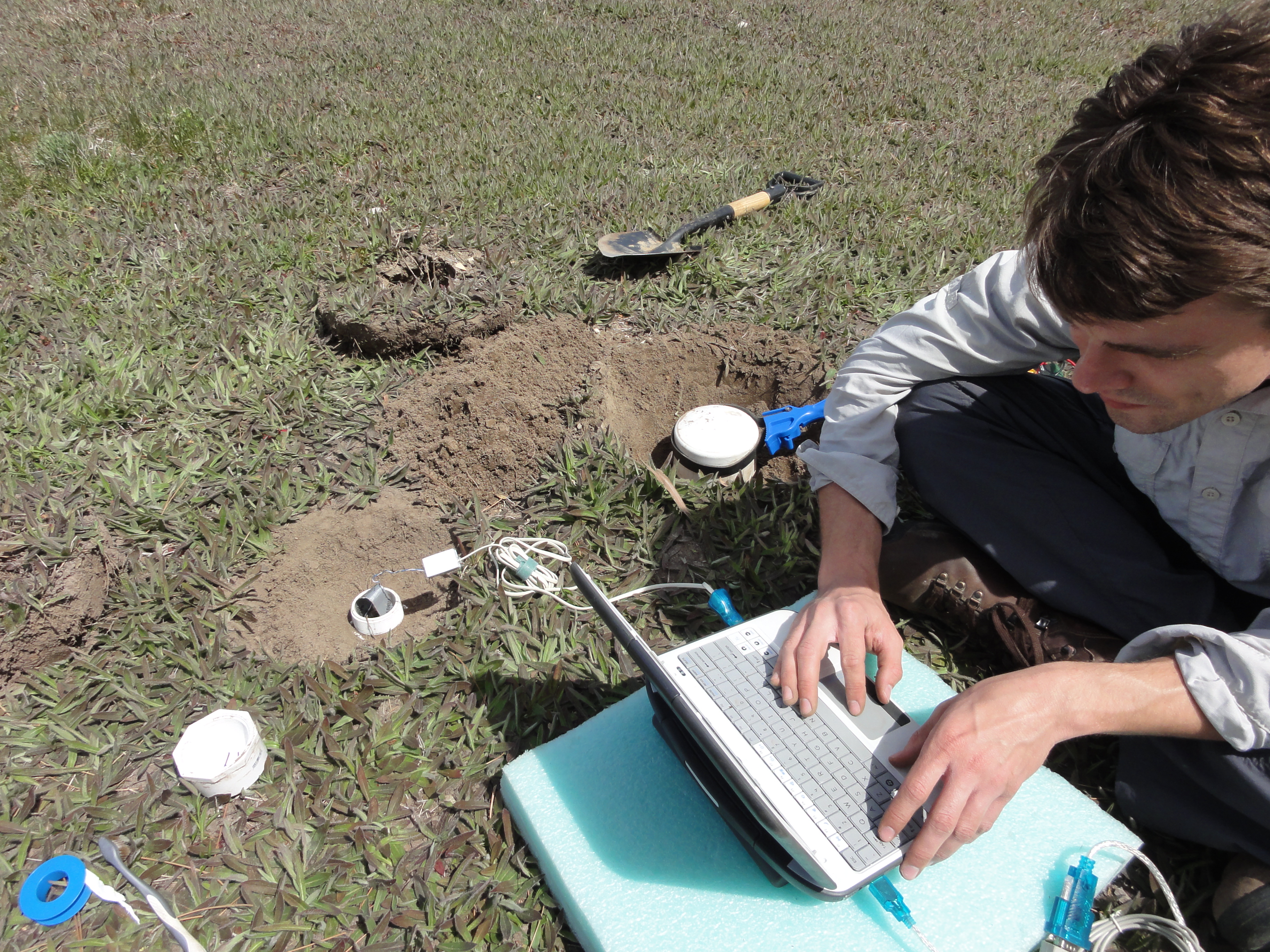
Sandhill is a permanently maintained and instrumented study site situated on the Allen Woodland plot near the south-eastern corner of MSU property (not far from Sandhill Rd). It was first instrumented in 2006 for a PhD thesis to answer questions about the impacts of land use change on water and nutrient cycling using the forest/grass ecotone and geophysical methods. Work at Sandhill has been the basis for several MS theses and is currently used as an educational tool while showing us long term trends in the relationship between soil moisture, vegetation, and precipitation.