
Coastal Sabkha near Abu Dhabi, United Arab Emirates

MADE (Macrodispersion Experiment) Site, Columbus Mississippi
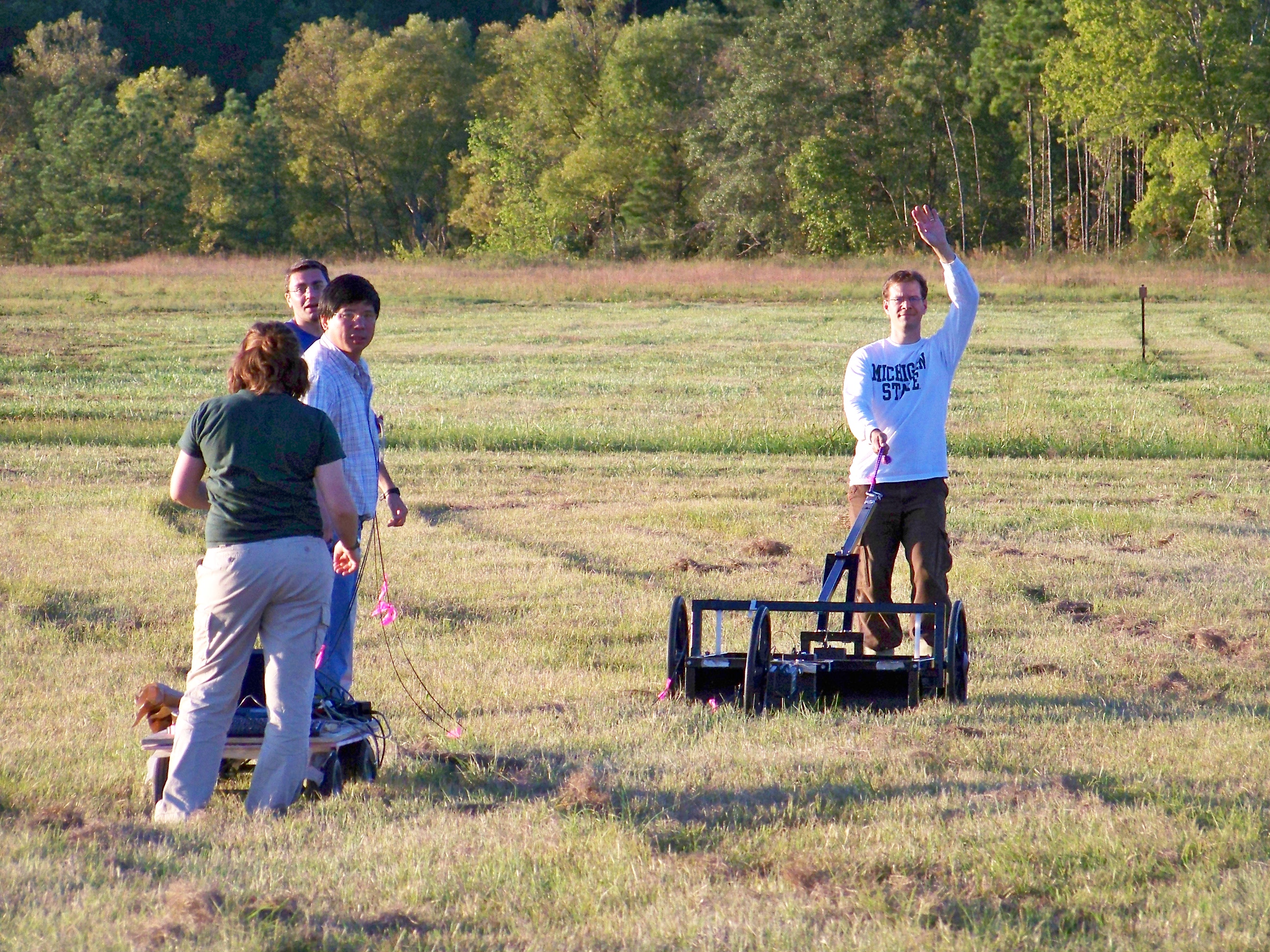
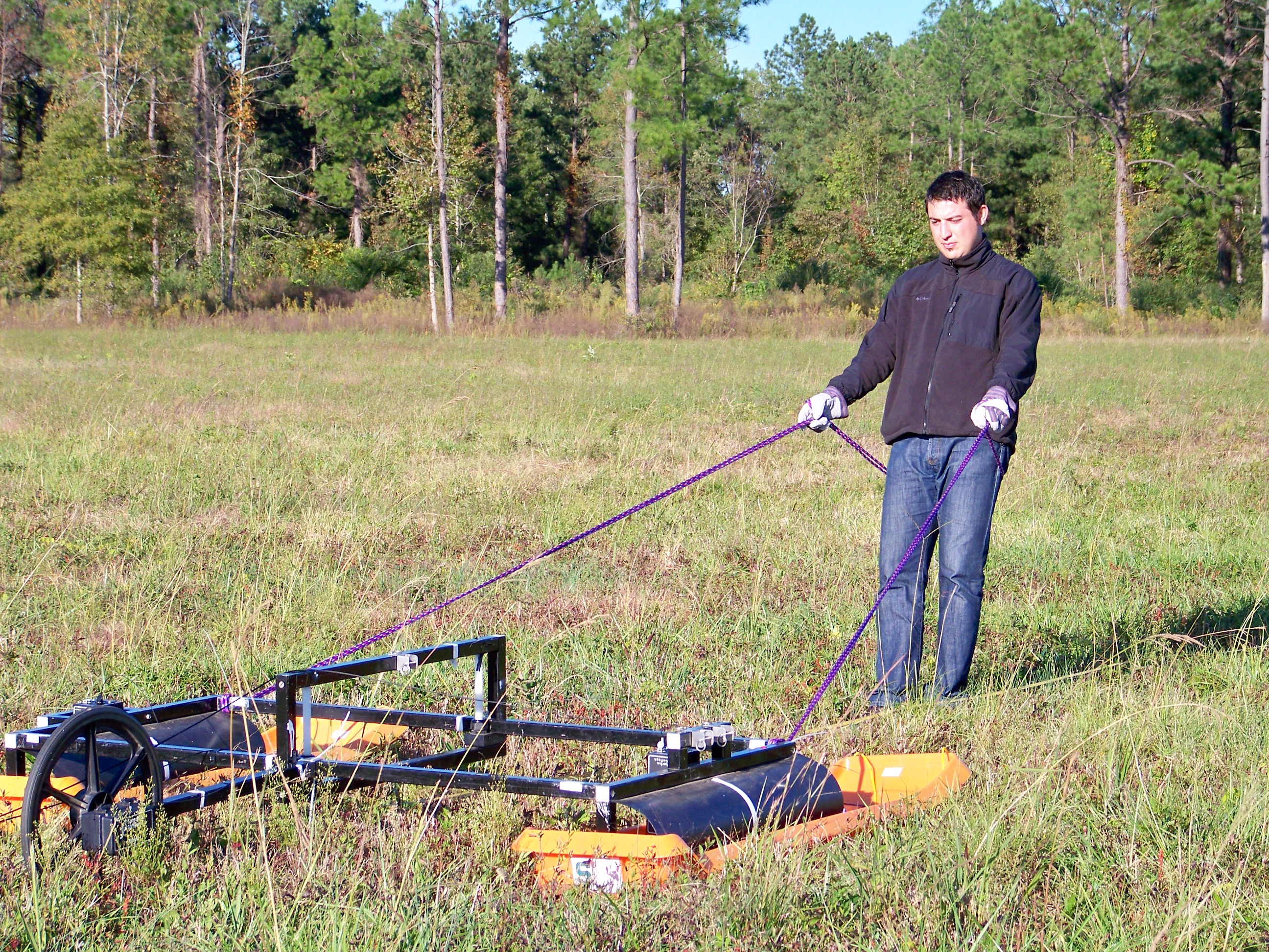
Geophysics researchers at MSU travel to the MADE Site in order to study its extremely complex subsurface flow patterns, employing a comprehensive selection of the most cutting-edge technology available. Using characterization techniques such as full resolution ground-penetrating radar and direct push hydraulic conductivity measurements, students are investigating the relationship between subsurface heterogeneity and contaminant transport paths. This work is being conducted along with the Kansas Geological Survey.

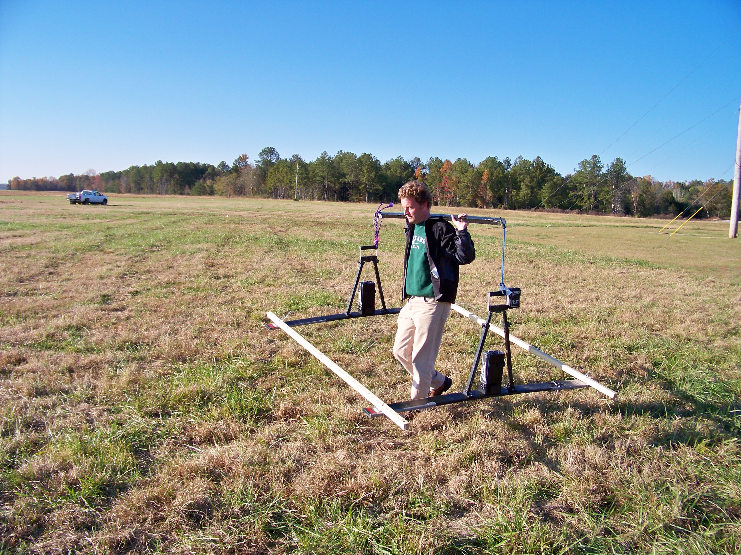
We would like to thank the National Science Foundation for funding this research.
Traverse City ERT Site
Sycamore Creek Watershed
Muskegon River Watershed

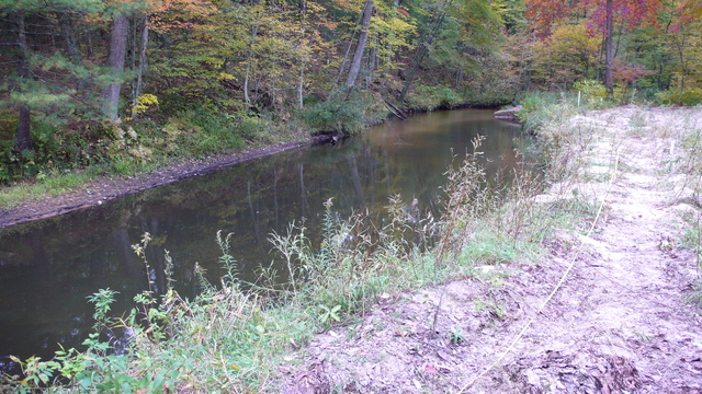
Cedar Creek Meander Bend
The Cedar Creek hydrological research area is centered on a meander bend of the river, located within the Muskegon Watershed. Water flows from the river channel through the subsurface, to rejoin the channel downstream as the water table once again intersects with the land’s surface. This complex interplay between groundwater and surface water makes this area ideal for studying the behavior of water as it flows through the vadose zone. The landscape around Cedar Creek is a patchwork of unmanaged open and forested lands, a combination that also allows investigation into the effects that land use heterogeneity has on the movement of groundwater and surface water.