Kellogg Biological Station Transition Site

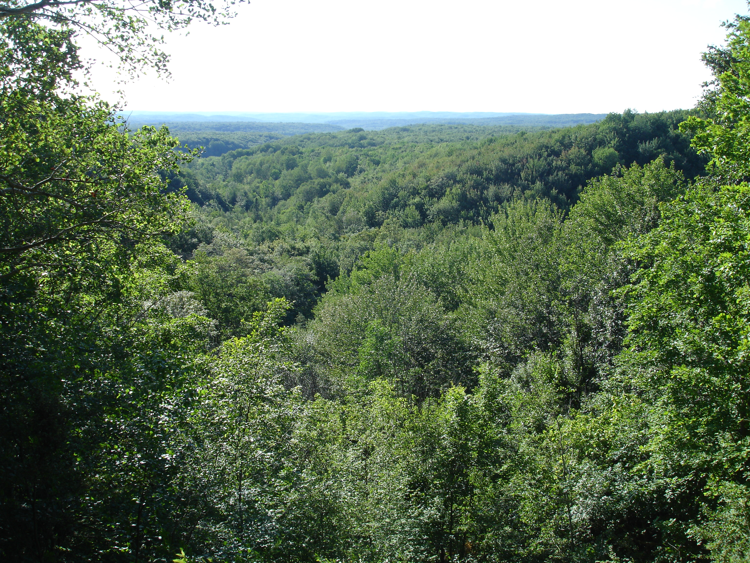
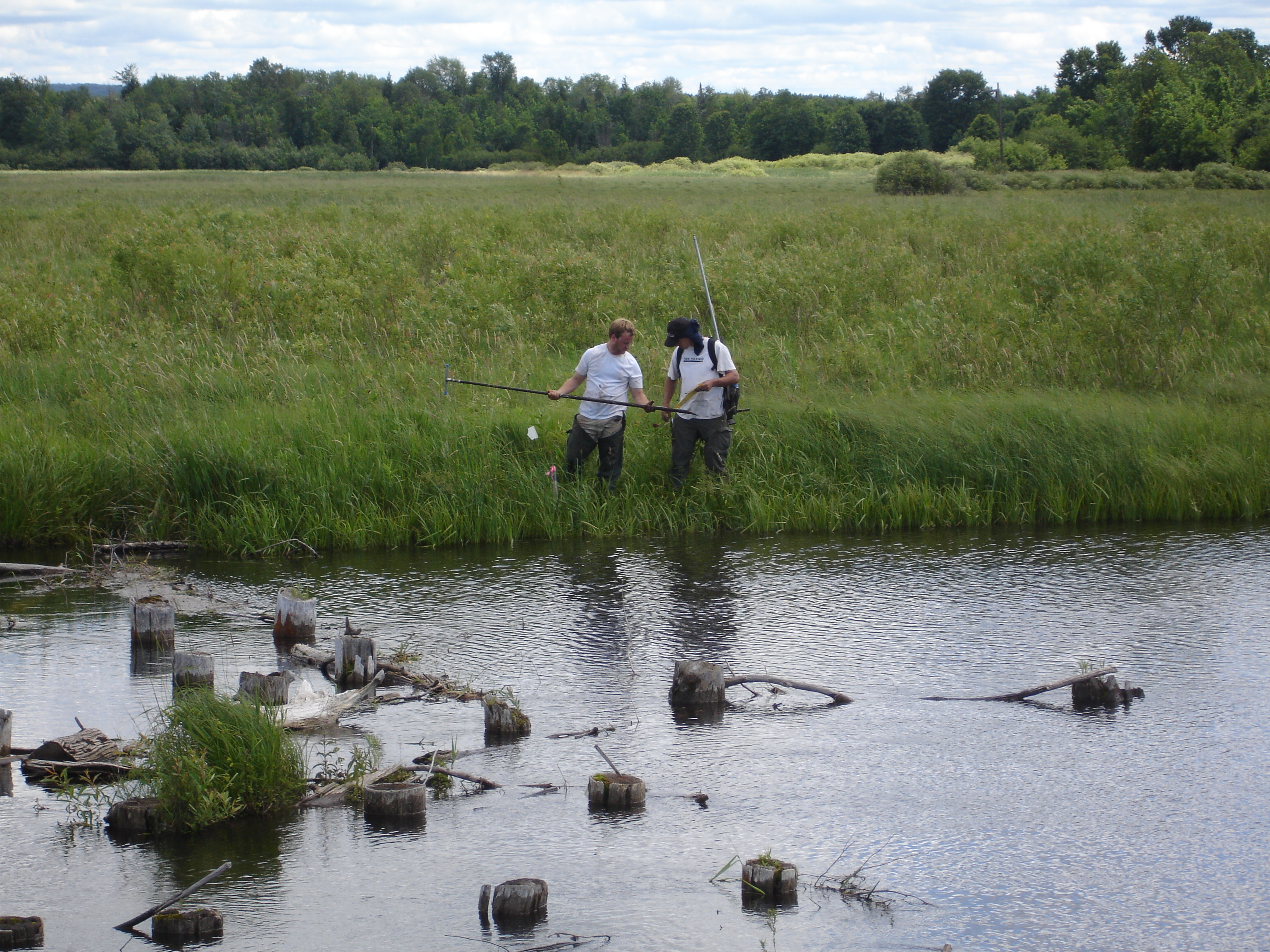
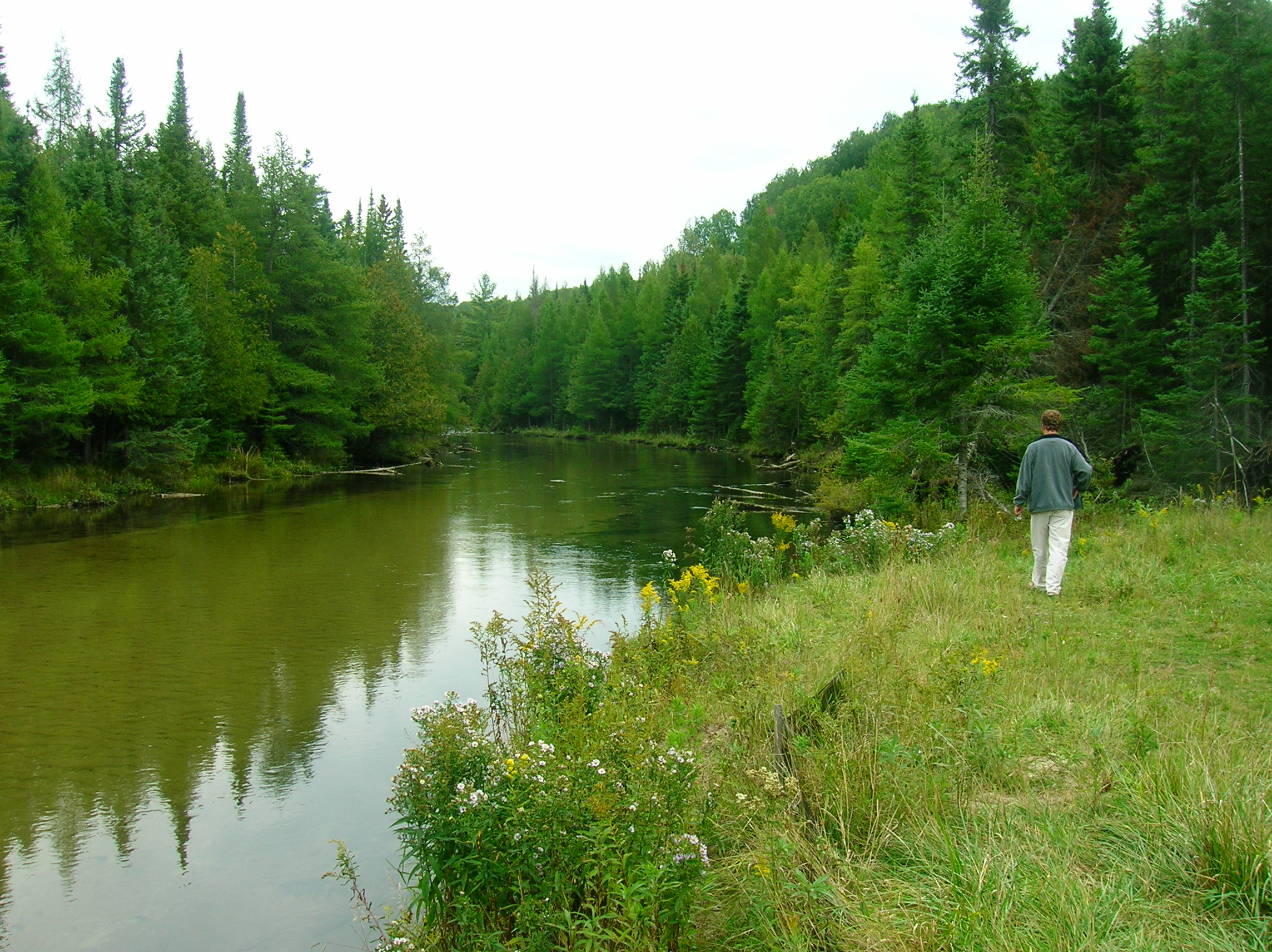
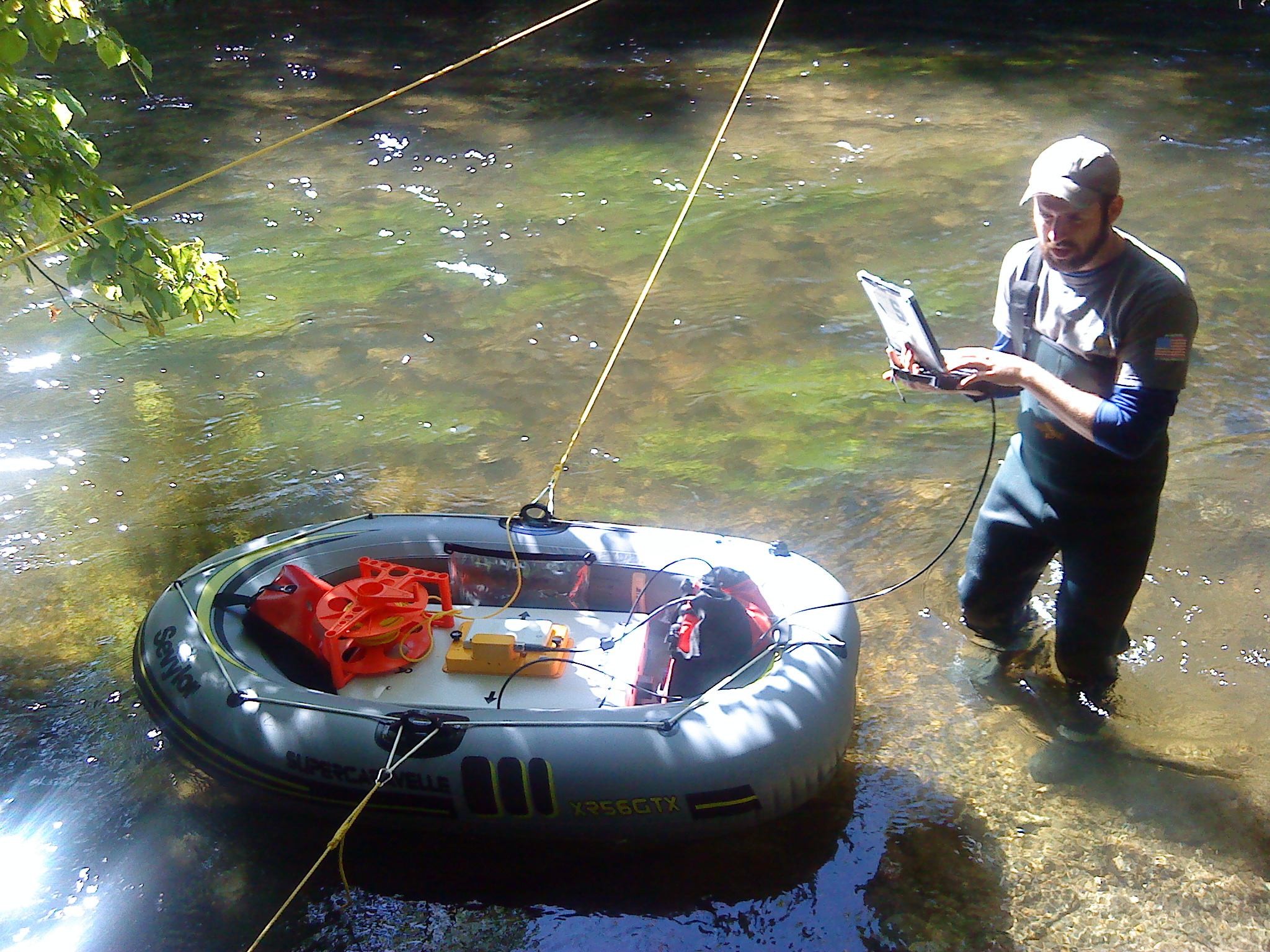
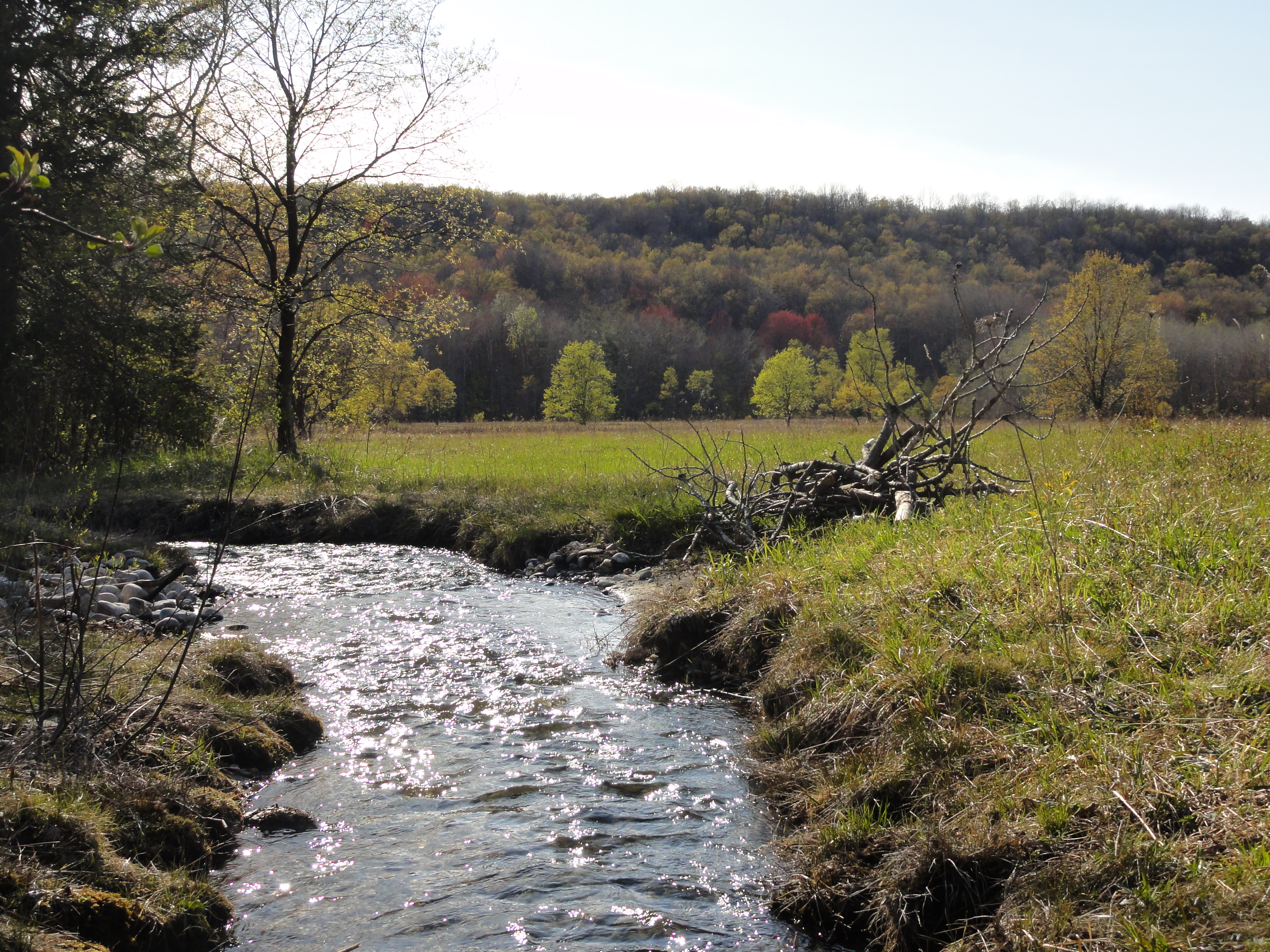
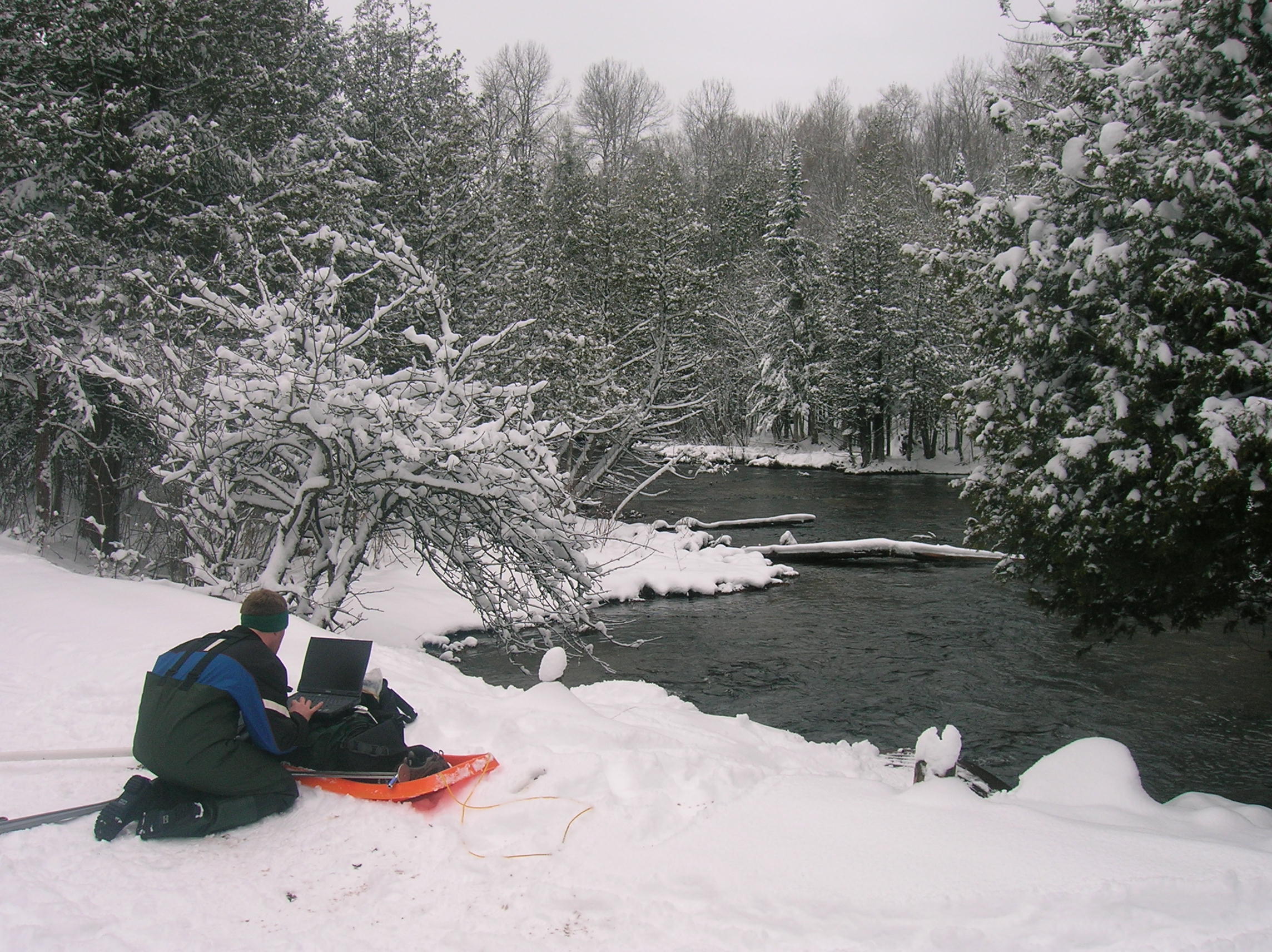
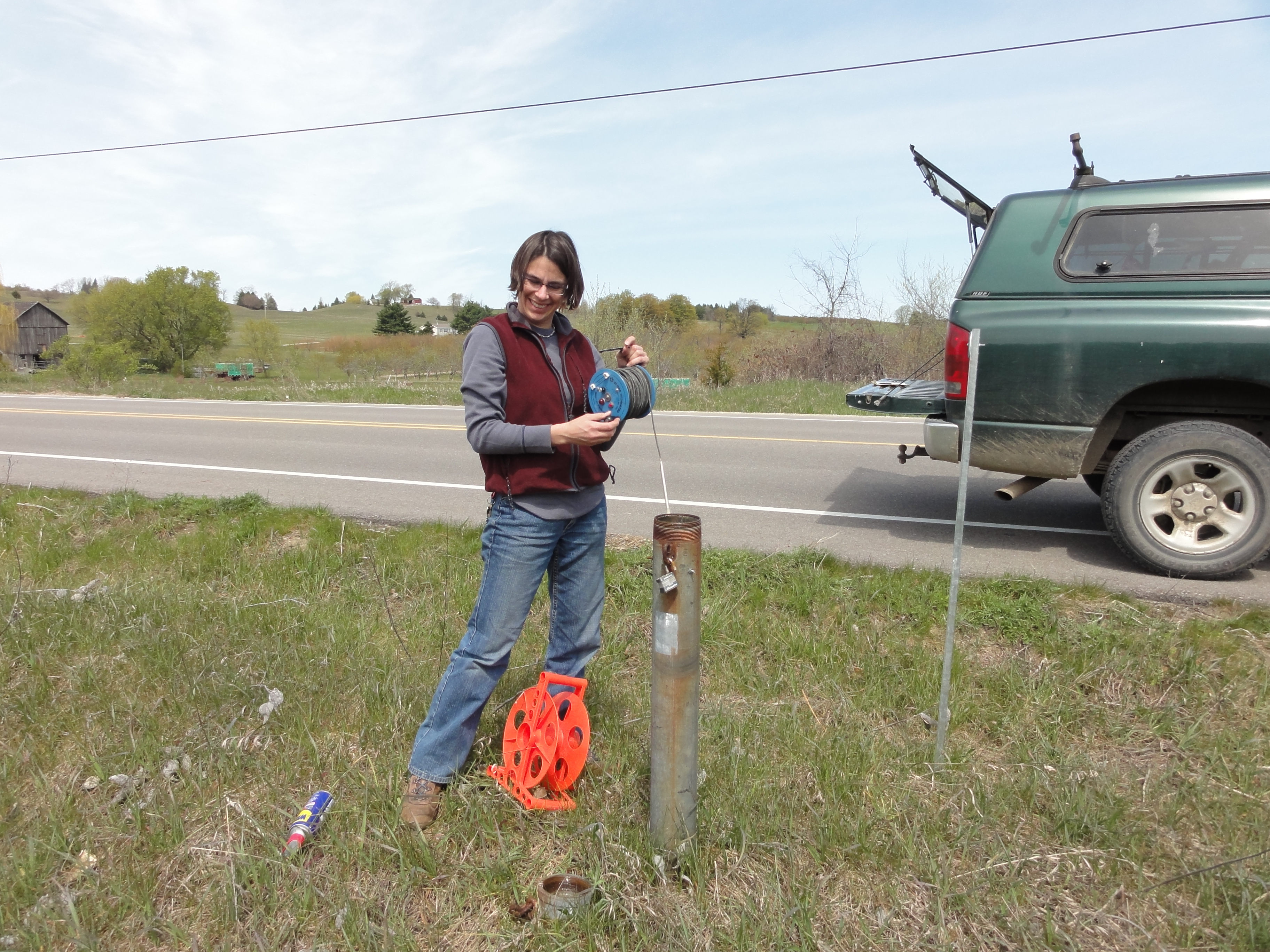
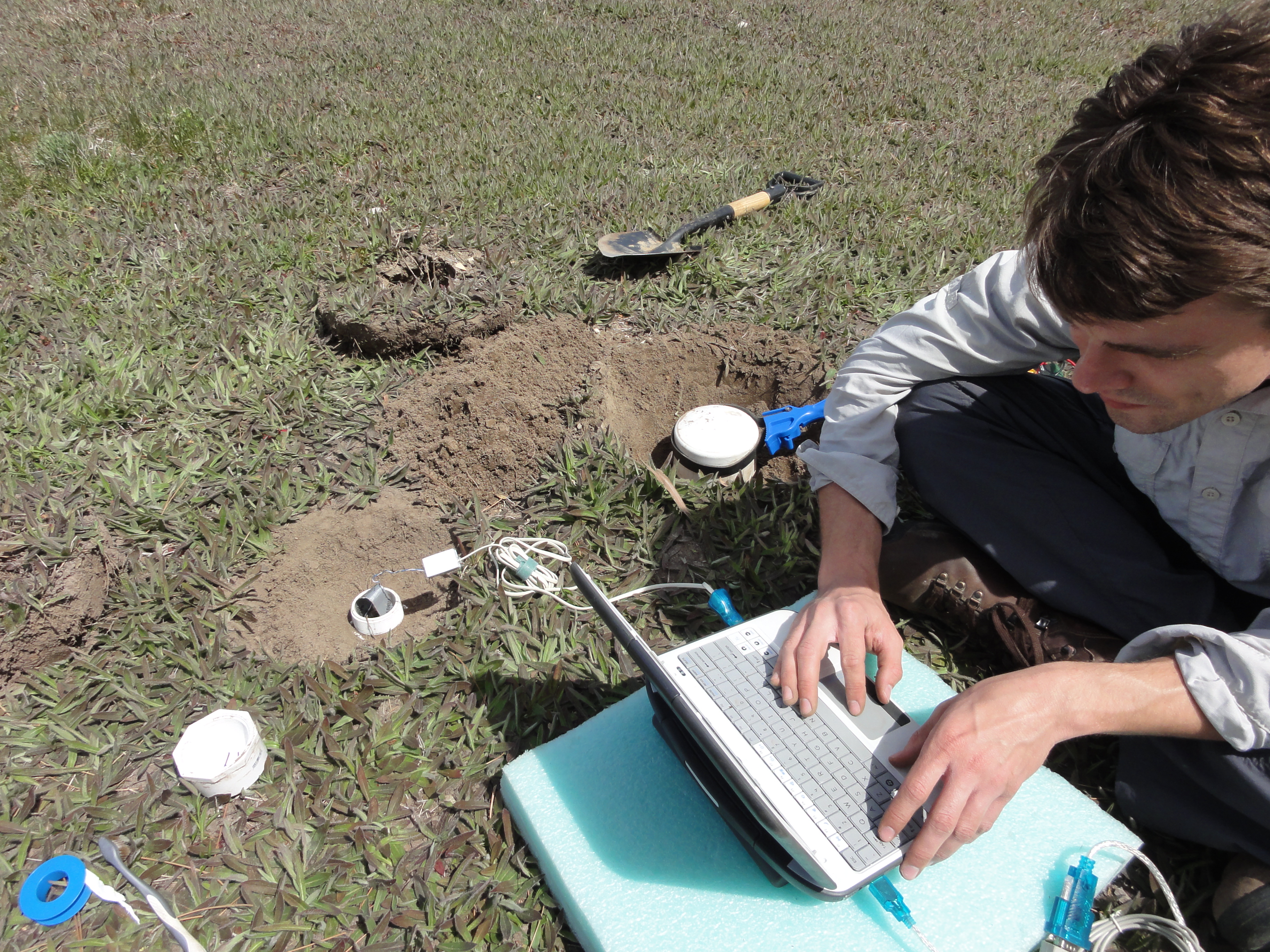
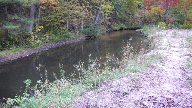
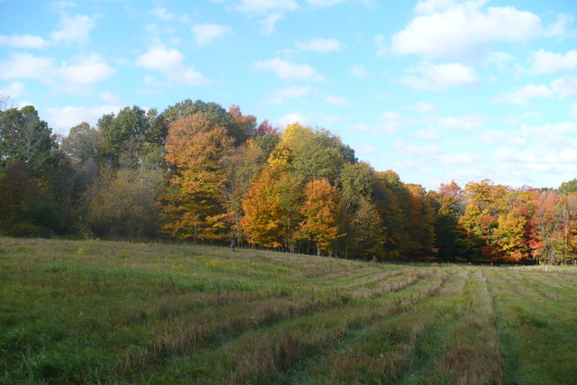
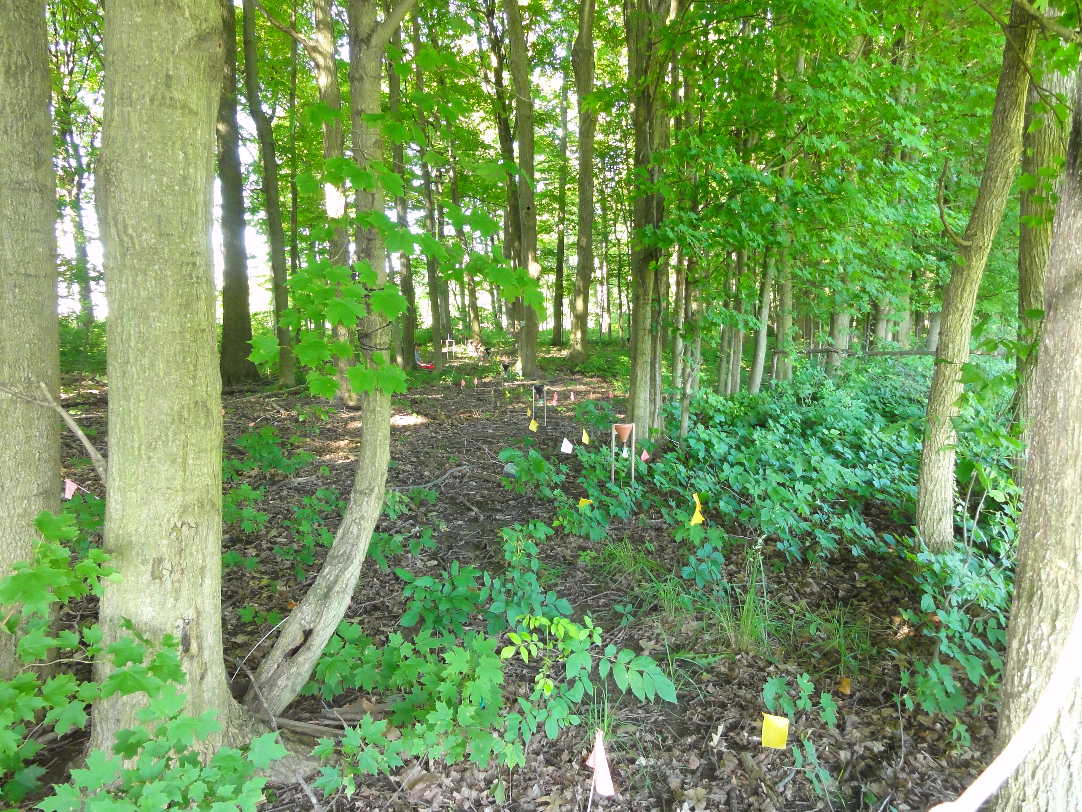
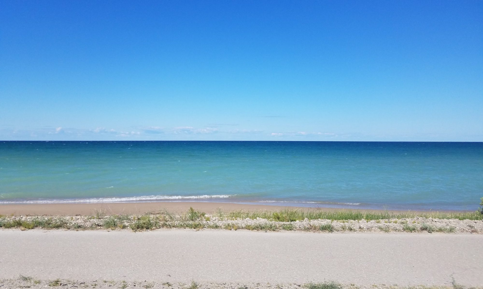
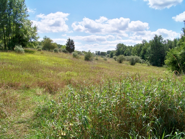
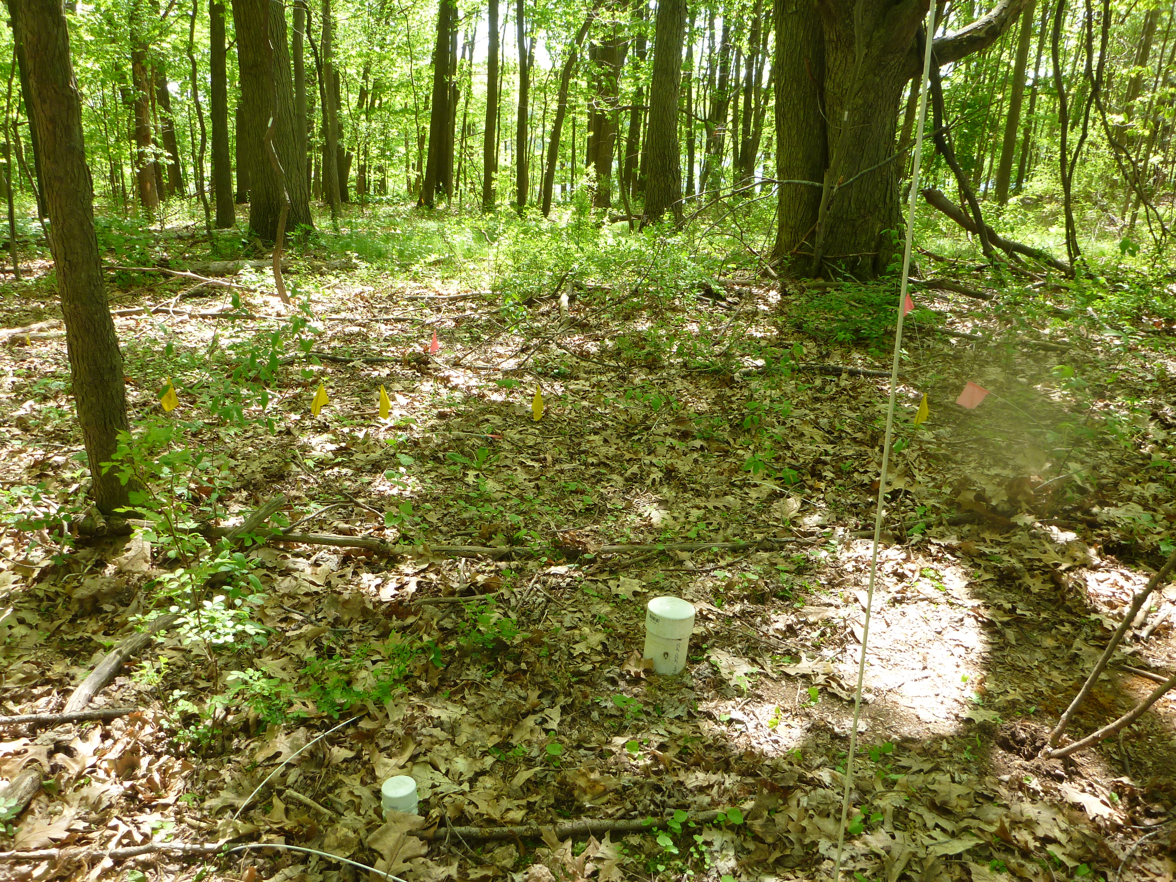
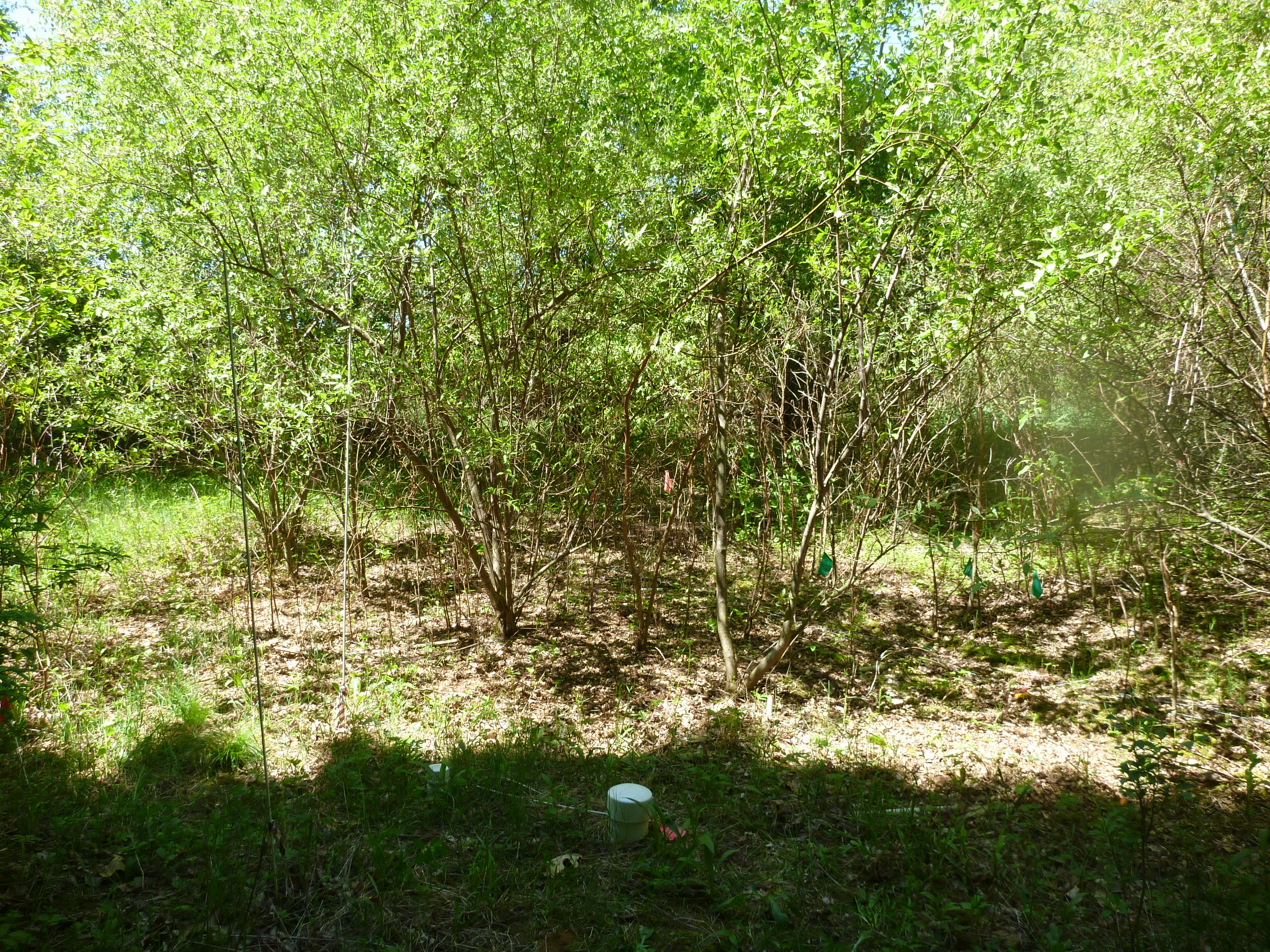
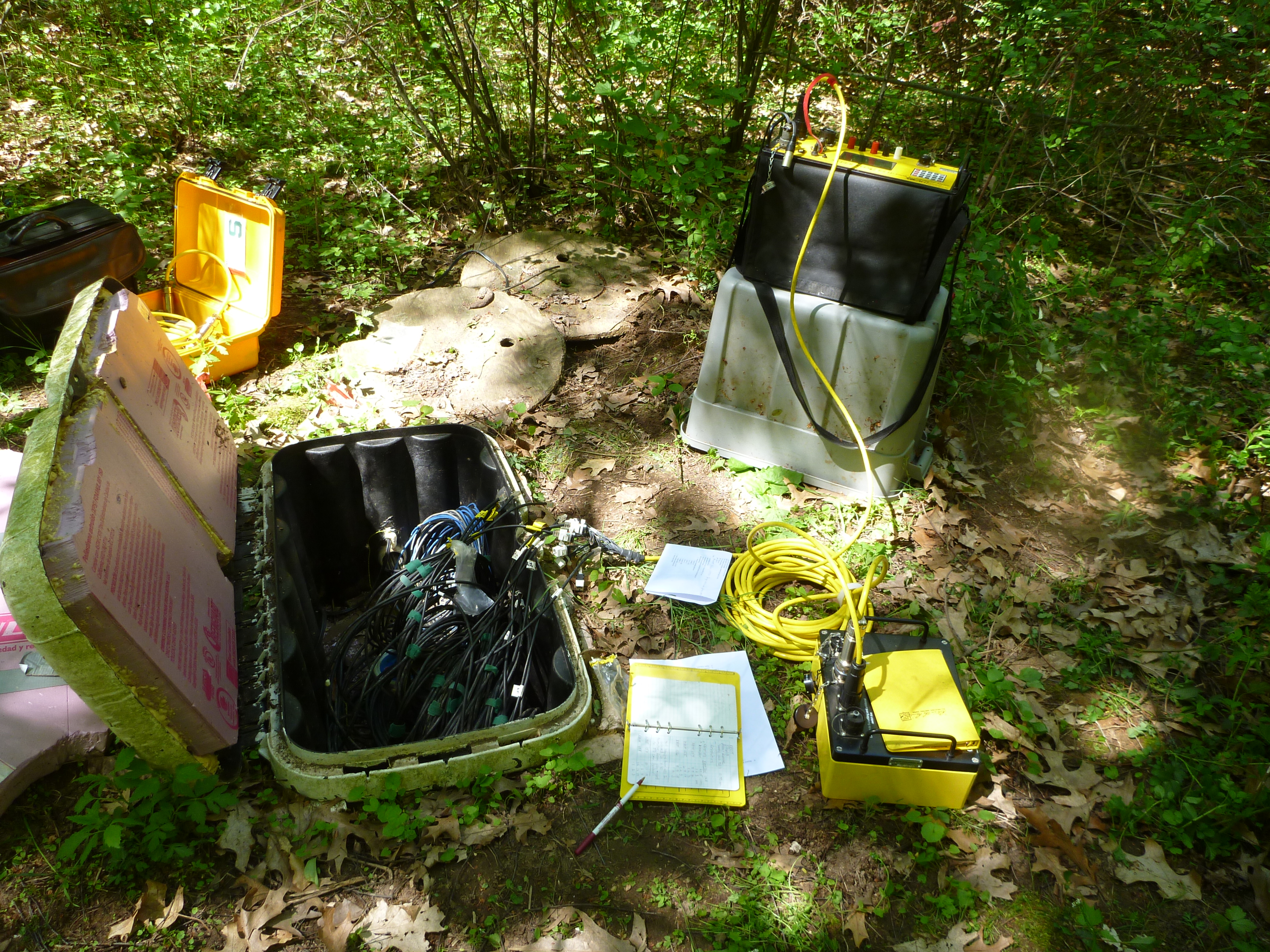
Located on Kellogg Biological Station property, our aptly named “transition” site spans an ecotone that progresses from mature forest to young forest, shrub, and grass over a distance of 200m. It has been permanently instrumented with an array of electrodes for electrical resistivity (ER) surveys, as well as temperature and soil moisture probes. This site was created as part of an effort to understand how land use change impacts soil moisture distribution in the near surface. It is closely related to two of our other active study sites, Sandhill and GLBRC.

We would like to to thank the National Science Foundation for funding this research.

Projects:

Multi-scale Monitoring and Modeling of Land Use and Climate Change Impacts on the Terrestrial Hydrologic Cycle: Implications for the Great Lakes Basin

MADE (Macrodispersion Experiment) Site, Columbus Mississippi

Geophysics researchers at MSU travel to the MADE Site in order to study its extremely complex subsurface flow patterns, employing a comprehensive selection of the most cutting-edge technology available. Using characterization techniques such as full resolution ground-penetrating radar and direct push hydraulic conductivity measurements, students are investigating the relationship between subsurface heterogeneity and contaminant transport paths. This work is being conducted along with the Kansas Geological Survey.

We would like to thank the National Science Foundation for funding this research.

Characterizing Soil Moisture Variations in the Unsaturated Zone

Vadose zone soil moisture variationWe are using electrical resistivity tomography to image the dynamic nature of soil moisture, and coupling this with high resolution models to better understand transpiration dynamics and unsaturated flow. We are using time-lapse hydrogeophysical tools to characterize soil moisture variability beneath a range of vegetation types. Those tools include 2D and 3D electrical resistivity tomography (ERT), and ground-penetrating radar (GPR).

We will then combine our measurements with detailed site characterization, point measurements of soil temperature and moisture, and numerical models of hydrological and plant processes to quantify root-zone moisture dynamics with an unprecedented level of detail. Continue reading “Characterizing Soil Moisture Variations in the Unsaturated Zone”

Jordan River Watershed

Since 2007, members of the MSU Hydrogeology Lab have collected temperature and flow measurements for the Jordan River, near the northern margin of Michigan’s Lower Peninsula. The three gages in this watershed produce river flow and temperature data every half hour, which is used to calibrate models of sediment transport through the system. The movement of sediment is an important factor in the ecological health of a watershed, and the data gleaned from the Jordan River will inform models that will help us understand the behavior of the watershed in the face of future change.

We would like to thank the Friends of the Jordan River Watershed for their continued support for our efforts in the Jordan River Watershed.

Grand Traverse Bay Watershed

The Grand Traverse Bay Watershed is a coastal watershed on the northeastern margin of Lake Michigan. An important area for agriculture and tourism, the Grand Traverse is currently shifting from a winter snow cover pattern of seasonal snowpack to a regime in which snow cover is ephemeral and event-driven. Historical data for the region indicates that it may be a bellwether for other ecosystems around Lake Michigan, reacting to changes before any signal is observed in other areas along the Great Lakes coastline. The likelihood that climate change will have a large impact on this watershed makes it all the more important as an area of observation, and the long-term monitoring dataset is vital in the development and calibration of hydrologic models to predict future changes in the region.

Funding agencies: NOAA Sea Grant program; NSF Multi-Scale Modeling and Monitoring

Projects:

Multi-scale Monitoring and Modeling of Land Use and Climate Change Impacts on the Terrestrial Hydrologic Cycle: Implications for the Great Lakes Basin

NOAA Sea Grant: Quantifying the Impacts of Projected Climate Changes on the Grand Traverse Bay Region: An Adaptive Management Framework

Cedar Creek Meander Bend

The Cedar Creek hydrological research area is centered on a meander bend of the river, located within the Muskegon Watershed. Water flows from the river channel through the subsurface, to rejoin the channel downstream as the water table once again intersects with the land’s surface. This complex interplay between groundwater and surface water makes this area ideal for studying the behavior of water as it flows through the vadose zone. The landscape around Cedar Creek is a patchwork of unmanaged open and forested lands, a combination that also allows investigation into the effects that land use heterogeneity has on the movement of groundwater and surface water.

Sandhill

Sandhill is a permanently maintained and instrumented study site situated on the Allen Woodland plot near the south-eastern corner of MSU property (not far from Sandhill Rd). It was first instrumented in 2006 for a PhD thesis to answer questions about the impacts of land use change on water and nutrient cycling using the forest/grass ecotone and geophysical methods. Work at Sandhill has been the basis for several MS theses and is currently used as an educational tool while showing us long term trends in the relationship between soil moisture, vegetation, and precipitation.

Projects:

Multi-scale Monitoring and Modeling of Land Use and Climate Change Impacts on the Terrestrial Hydrologic Cycle: Implications for the Great Lakes Basin

Modeling and Monitoring Hydrologic Processes in Large Watersheds

We have developed a novel hydrologic process model called the Integrated Landscape Hydrology Model (ILHM), which is a framework of existing and novel codes to simulate the entire hydrologic cycle at large watershed scales. ILHM is capable of modeling all the major surface and near-surface hydrologic processes including evapotranspiration, groundwater recharge, and stream discharge. In the first published application of the model, the ILHM-modeled stream flows compared favorably with measured data with a minimum of parameter calibration. It was tested for a small watershed (~130 square kilometers) in Michigan, and is currently being applied to much larger domains. Continue reading “Modeling and Monitoring Hydrologic Processes in Large Watersheds”

Microcosm Studies

Empty MesocosmSolute transport through heterogeneous environments is often poorly understood because of inadequate definition of aquifer stresses and boundary conditions. One approach to address these concerns is to transport a large, minimally disturbed, highly heterogeneous aquifer mesocosm to a controlled laboratory setting. This approach will bridge the gap between small-scale laboratory studies and large-scale field studies.

Modeling Watershed Scale Groundwater Flow and Geochemistry

Cedar Creek Nitrate ConcentrationsGround water chemistry is reflective of time-weighted averages of anthropogenic inputs originating from spatial and temporal patterns of land use. We developed an approach to examine potential relationships between land use-derived solutes and baseflow surface water quality using regional ground water and solute transport models linked to GIS. Our first test of this approach estimated chloride concentrations in surface water due to road salt transport through ground water in Michigan’s Grand Traverse Bay watershed.

Further development of  watershed-scale groundwater flow and transport models  has been undertaken to examine the impacts of various land uses on nitrate concentrations.  In Michigan, streams are predominantly groundwater-fed for much of the year.  Therefore, understanding groundwater nitrate concentrations and fluxes is vital to understanding stream water quality.  The figure on the left shows a preliminary simulation of total N concentrations in Cedar Creek, a small  subwatershed of the Muskegon River in central lower Michigan. Continue reading “Modeling Watershed Scale Groundwater Flow and Geochemistry”

Field Scale Bioremediation Design and Reactive Transport

Schoolcraft Bioremediation DesignGround-water contamination with volatile organic compounds is a significant national and international problem. Waters containing these contaminants are typically pumped from contaminated aquifers and treated by air stripping or sorption onto activated carbon. These methods are costly, do not destroy the contaminants, may require pumping and disposal of large water volumes, and do not effectively remove contaminants sorbed to the aquifer material.Accordingly, there has been a great deal of interest in alternative treatment strategies, such as enhanced in-situ remediation. Our research group in collaboration with the Departments of Civil and Environmental Engineering and the Center for Microbial Ecology designed and installed a cost-effective biocurtain that is currently being used to remove carbon tetrachloride from an aquifer in Schoolcraft, Michigan. Novel aspects of the design are the use of closely-spaced wells to recirculate solutes through a biocurtain, well screens spanning the vertical extent of contamination, and a semi-passive mode of operation, with only six hours of low-level pumping per week.

Continue reading “Field Scale Bioremediation Design and Reactive Transport”

Interactions Between Hydrologic, Microbial, and Geochemical Processes

Wurtsmith TEAPA fundamental issue in aquifer biogeochemistry is the means by which solute transport geochemical processes, and microbiological activity combine to produce spatial and temporal variations in redox zonation.  Our Hydrogeology and Hydrogeochemistry groups are examining the temporal variability of TEAP conditions in shallow groundwater contaminated with waste fuel and chlorinated solvents. Continue reading “Interactions Between Hydrologic, Microbial, and Geochemical Processes”

Estimating Aquifer Properties from Geophysical and Tracer Data

Kesterson Seismic Slowness Aquifer PropertiesNew methods of estimating aquifer properties are needed to improve our understanding of the factors that influence the transport and fate of groundwater contaminants, and to better design remediation systems. Geophysical methods have long been applied to characterize oil reservoirs, while their application to characterize aquifers is much more recent. Our research group is developing a novel set of approaches that combine diverse hydrologic and geophysical data sources to estimate flow and transport properties with the highest resolution possible.

Related Publications:

Continue reading “Estimating Aquifer Properties from Geophysical and Tracer Data”