Project Summary
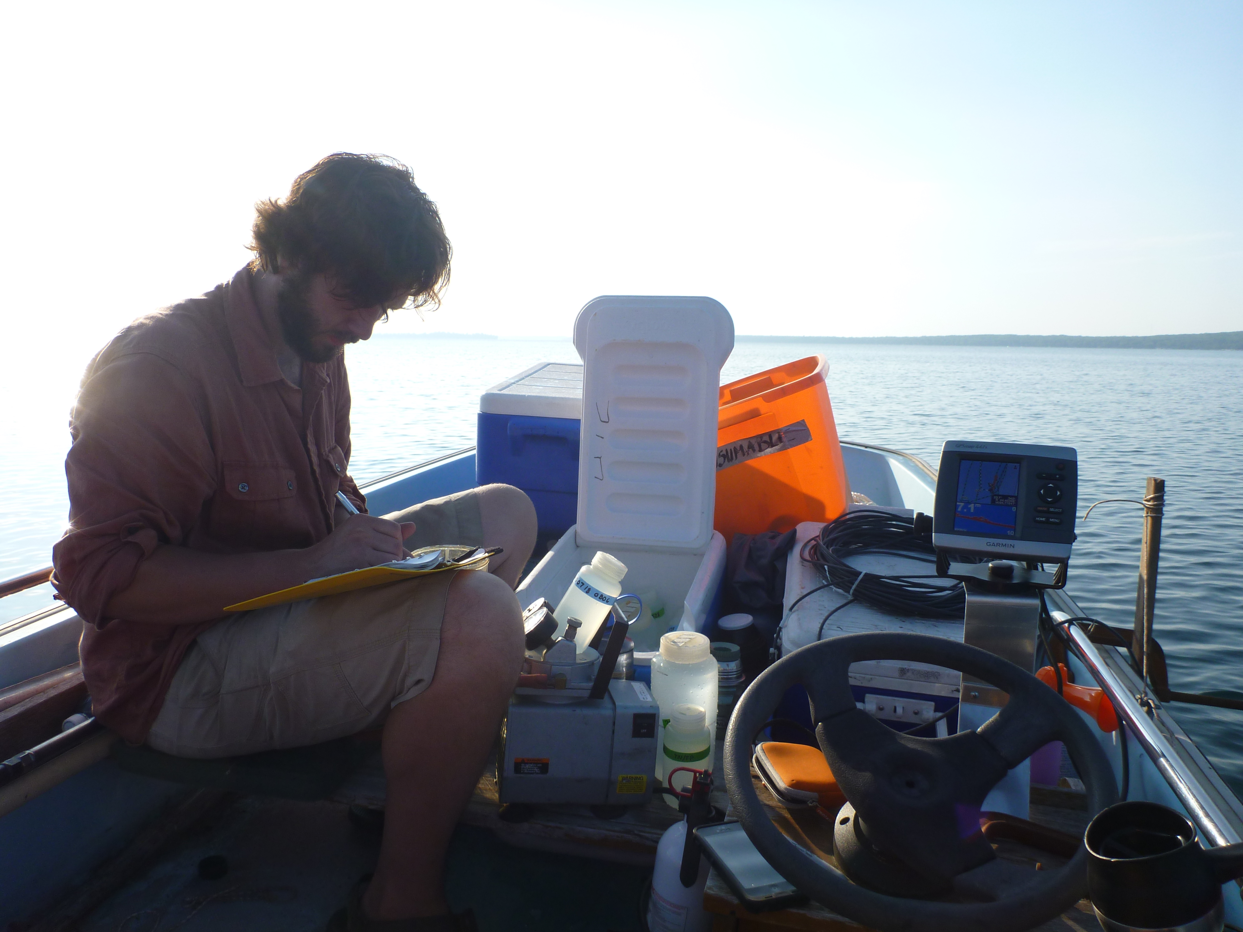
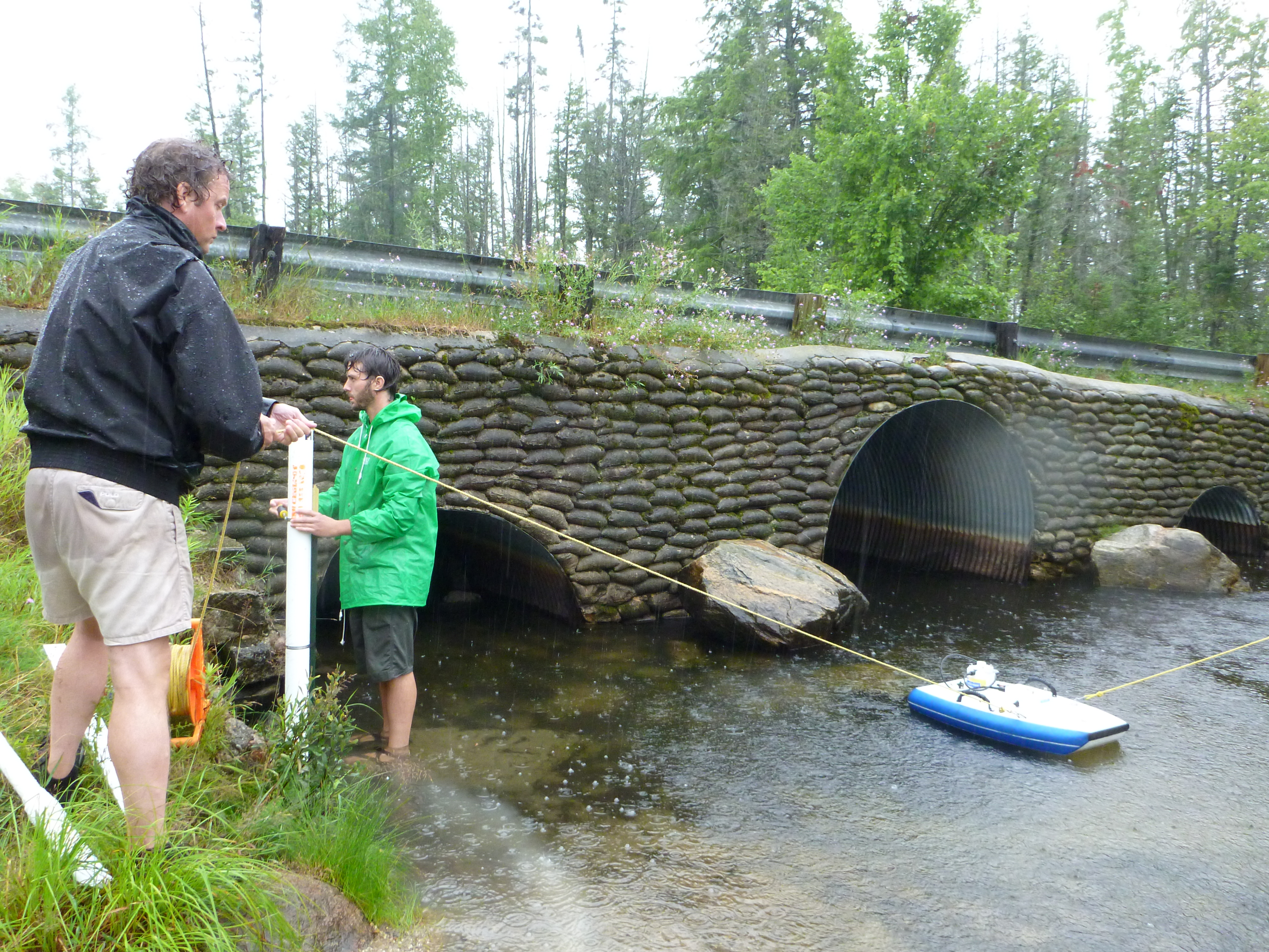
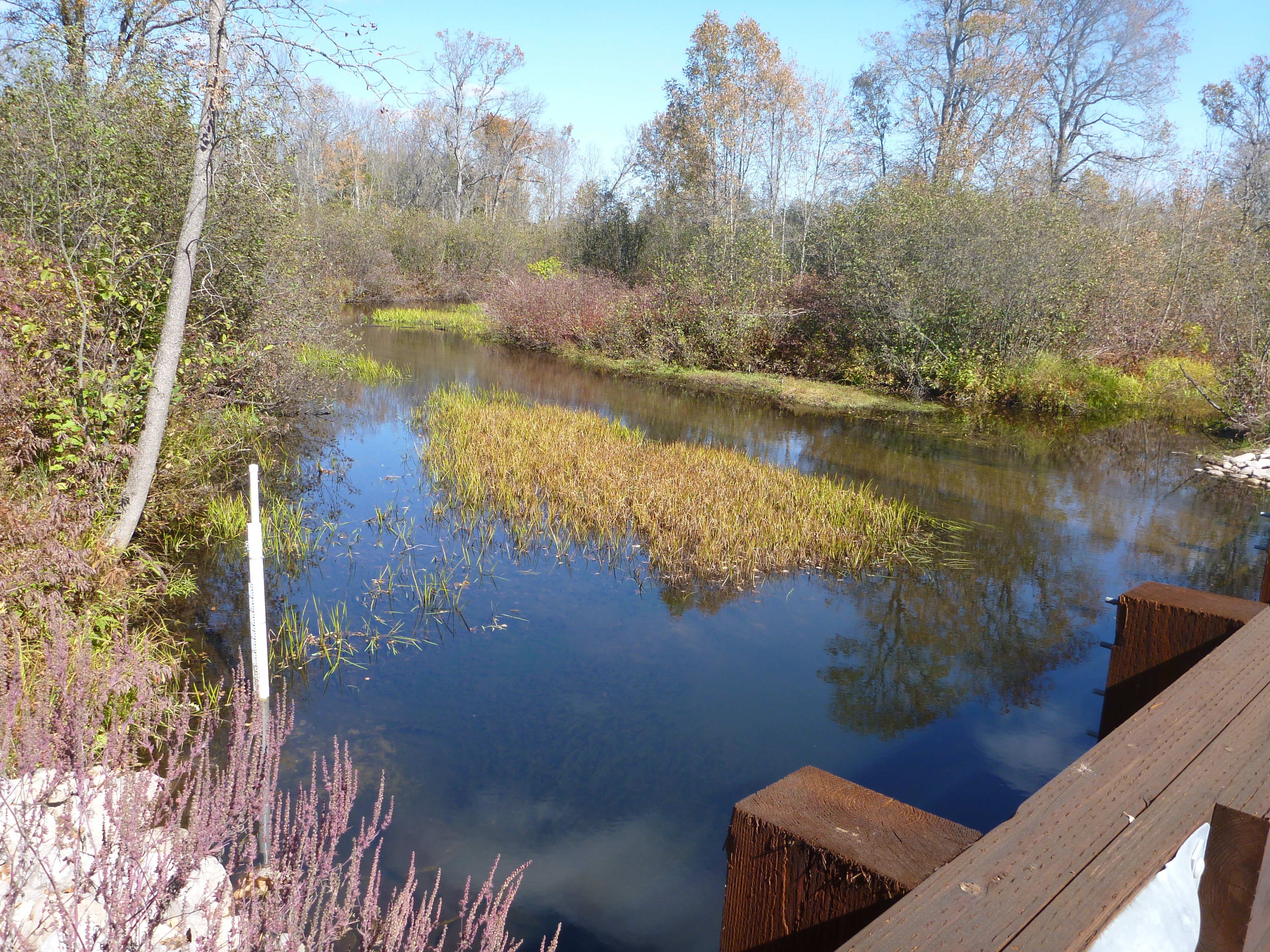
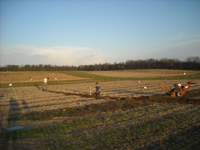
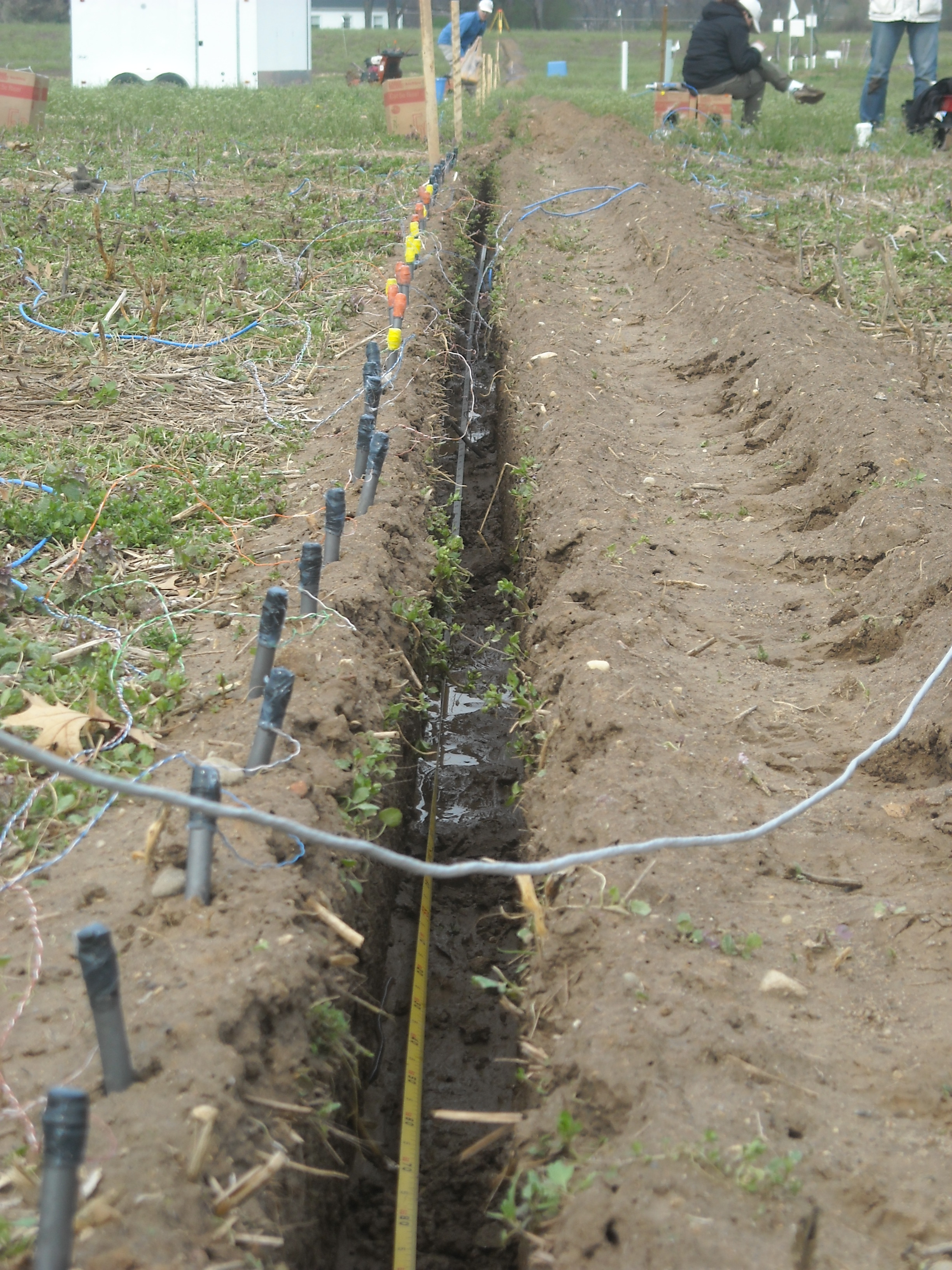
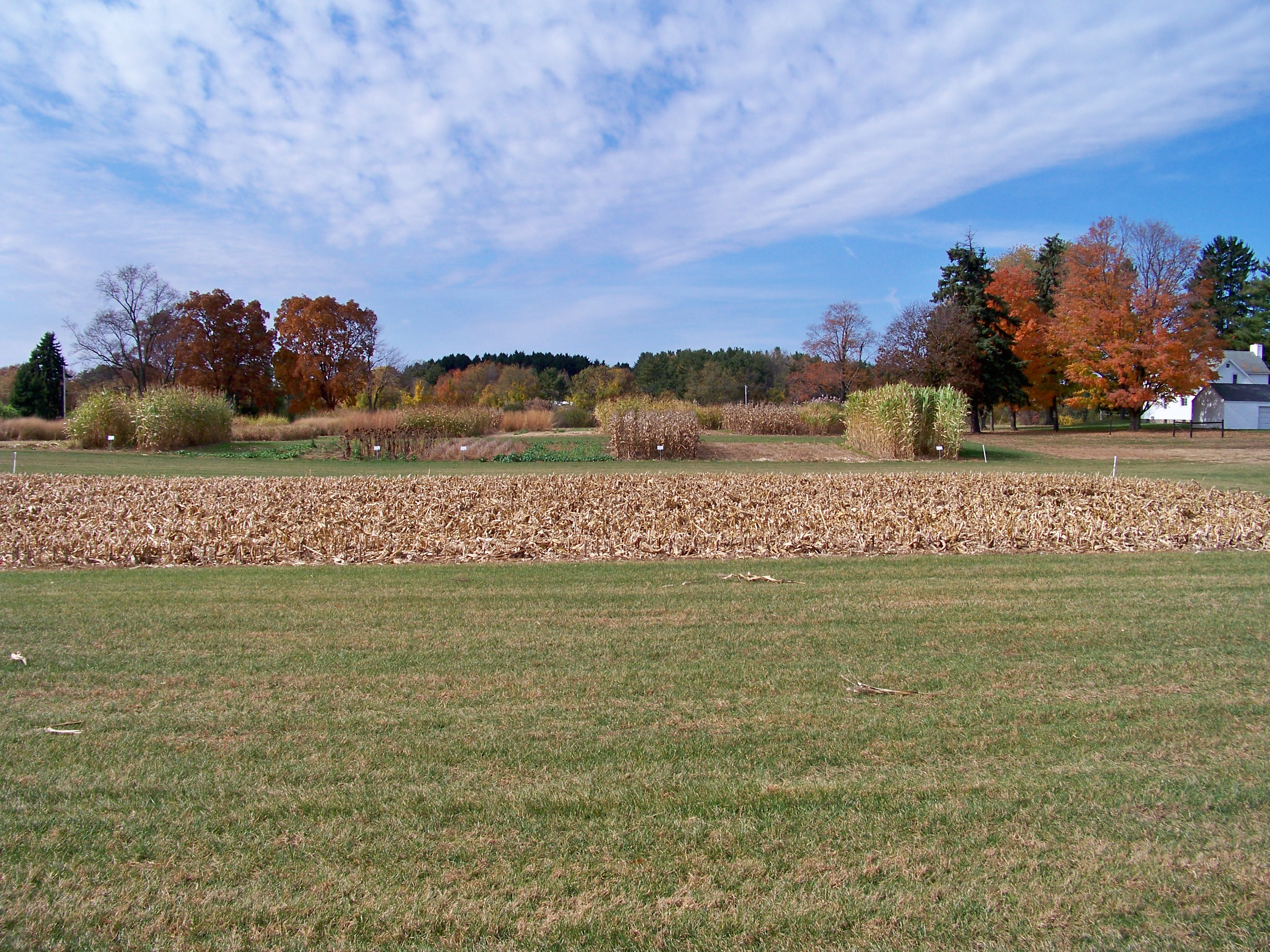
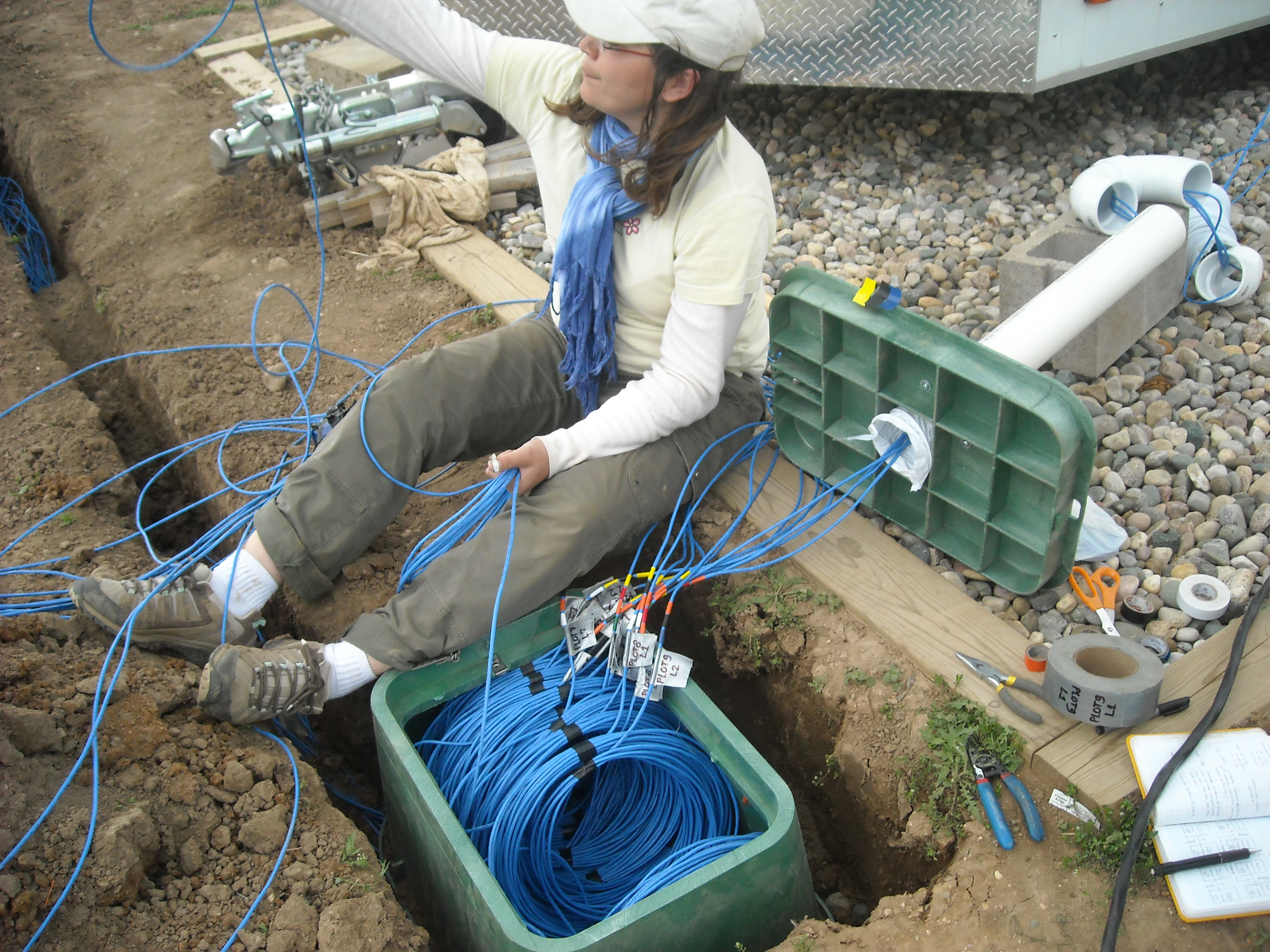
 Recent extreme weather events provide insight into future challenges for agricultural systems across parts of the US due to increasing climate variability. Growing irrigation demand, significant declines in groundwater levels across the High Plains, and inefficient use of fertilizers leading to nitrate leaching, N2O emission, and pollution of surface water are threats to the U.S. corn-soybean-wheat systems and the industries and ecosystems that depend on them. We are: i) developing and improving management strategies for a water-, nutrient-, and climate-smart agriculture; ii) creating and disseminating decision-support tools to help farmers use “Big Data” (e.g., yield maps and UAV sensors) to adapt to climate variability and increase their resiliency; iii) evaluating the economics of smart agriculture technologies and practices.
Our research integrates and experimentally tests a novel suite of biophysical and socioeconomic systems models to quantify interactions between climate, hydrology, and socioeconomic drivers of agricultural practices across the Upper Midwest and High Plains regions. Research, education, and extension activities in this project are providing accurate information for practical use by the general public, students, farmers, and decision makers to enable sustainable adaptation to and mitigation of temperature extremes, drought, and flooding. We are improving and deploying crop system models to evaluate a wide range of management options to optimize crop productivity while reducing water, N, and C footprints across spatial scales under a changing climate.
This work is being conducted in collaboration with Project Lead Investigator Bruno Basso.
Supported By
![]()